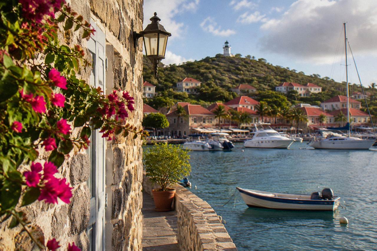
Gustavia Landmarks
Le Select Gustavia
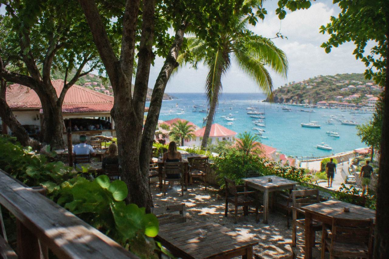
The open-air Gustavia landmark bar of St Barts, a short walk from the harbor quay, and what to see around it.
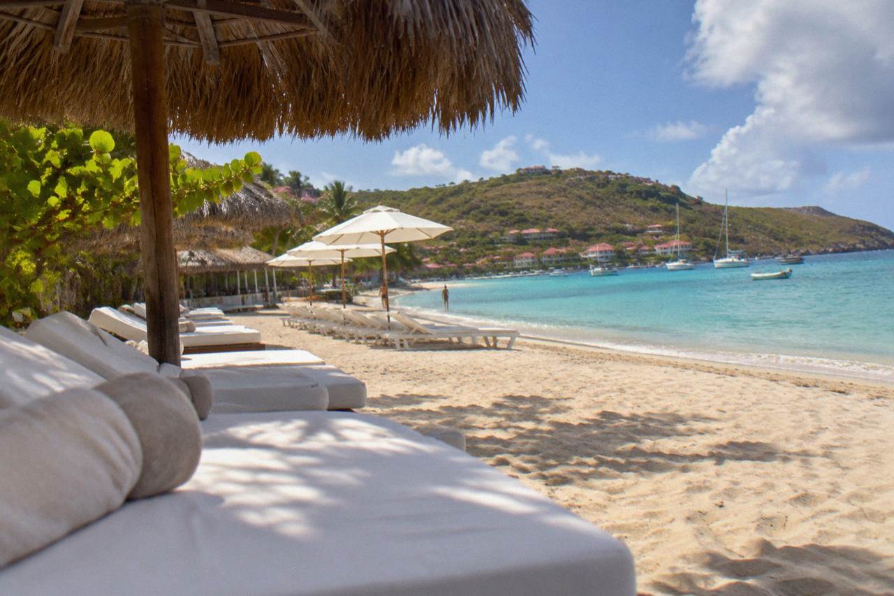
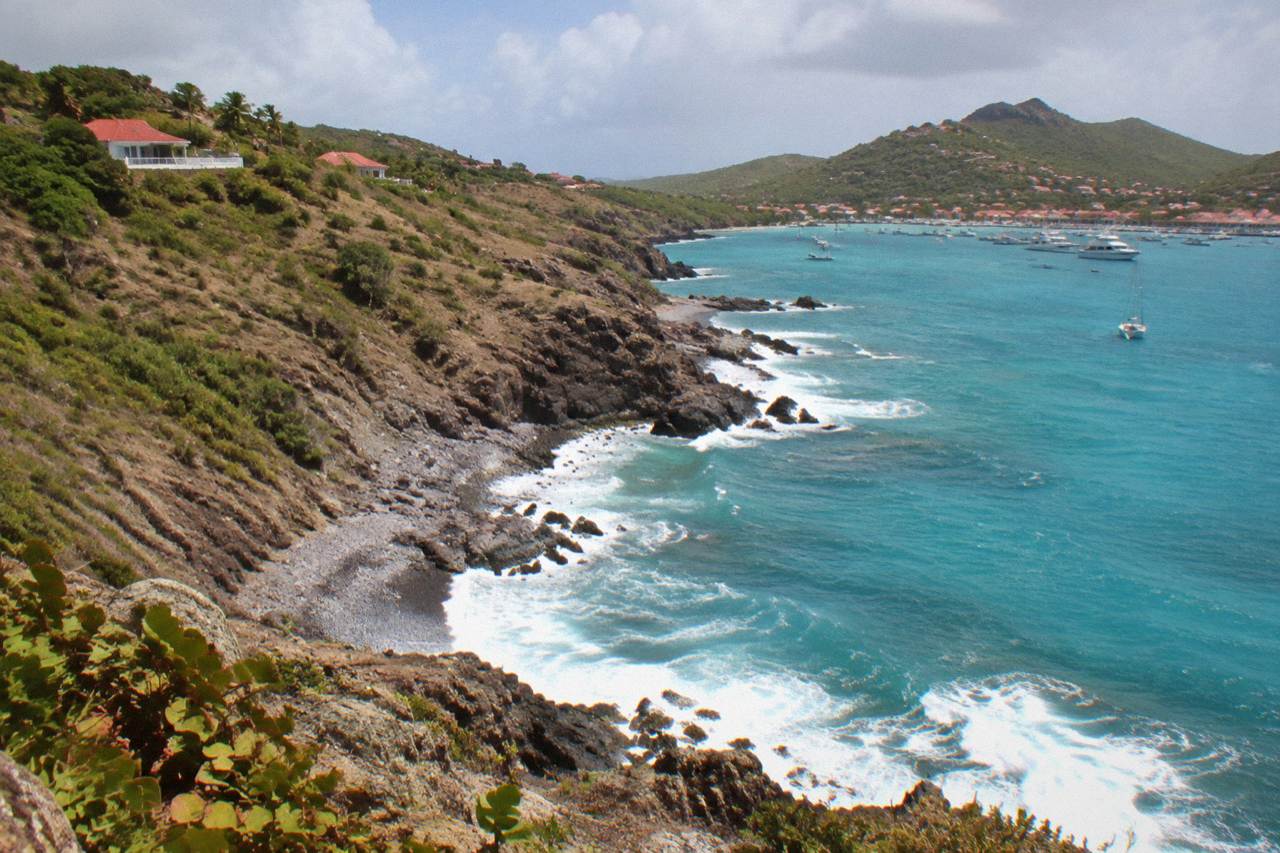
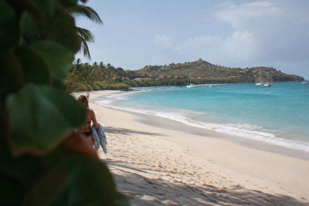
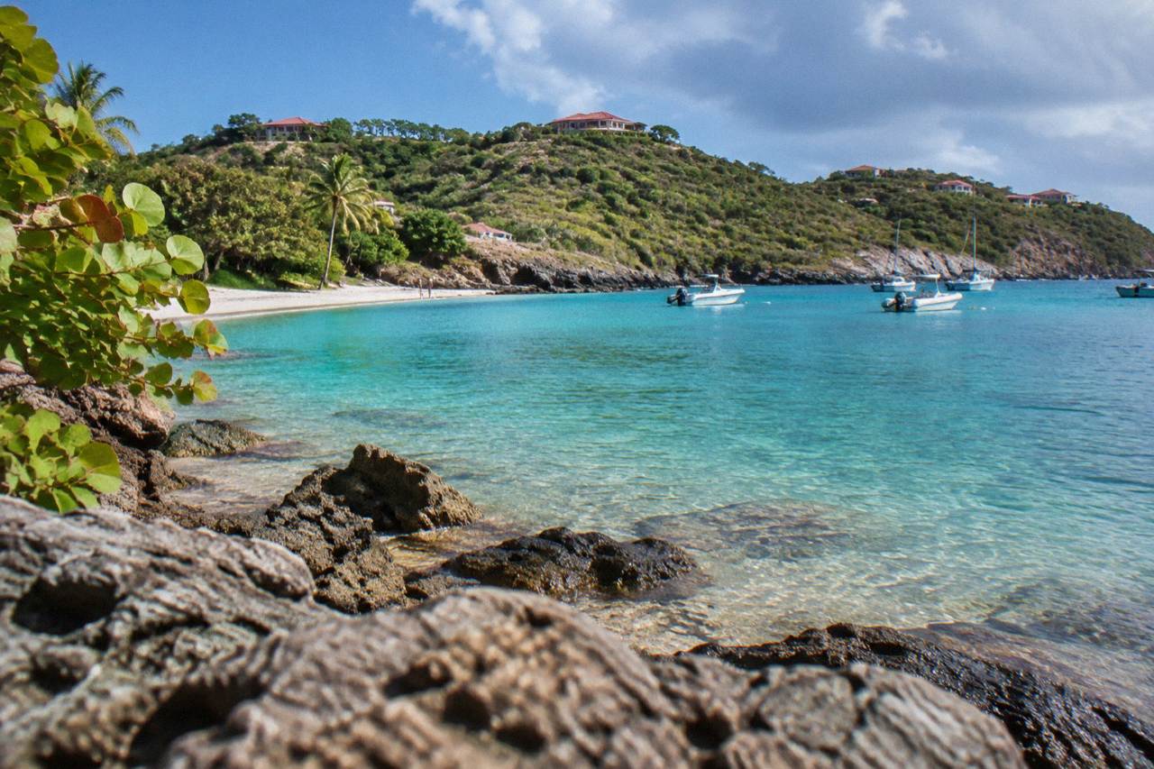
St Barts packs a lot into a small island: Gustavia's harbour, free public beaches from Gouverneur to Saline, and coves like Colombier that you reach by boat or on foot. Here is where to start.
Gustavia Landmarks
The open-air Gustavia landmark bar of St Barts, a short walk from the harbor quay, and what to see around it.
Beach Clubs
What Nikki Beach St Barts is, where it sits on the island, and how a day trip by boat from St Martin works.
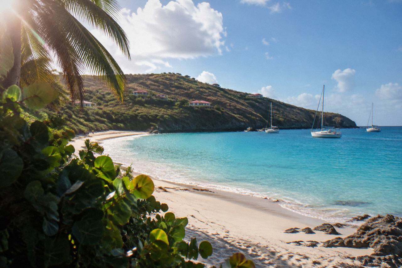
The walk to Colombier Beach, St Barts: access, reserve rules, climate and boat options.
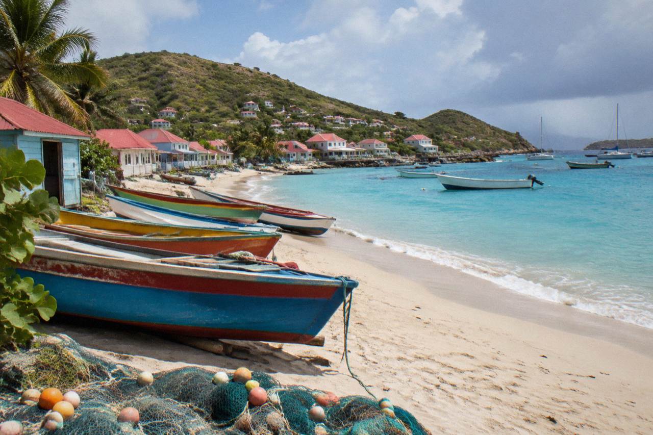
Corossol St Barts
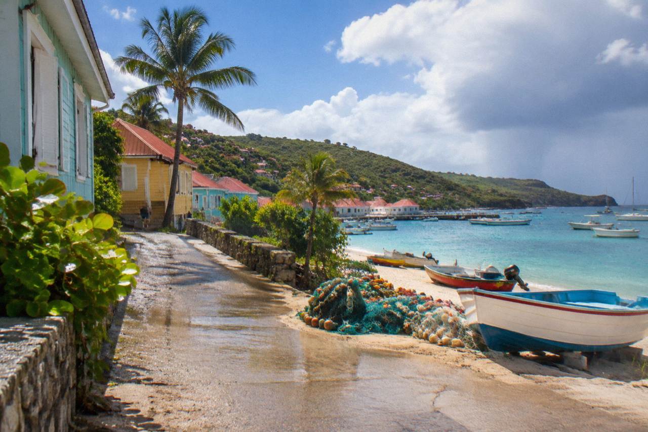
The fishing village of Corossol, its public beach and the shell museum on St Barts' northwest coast.
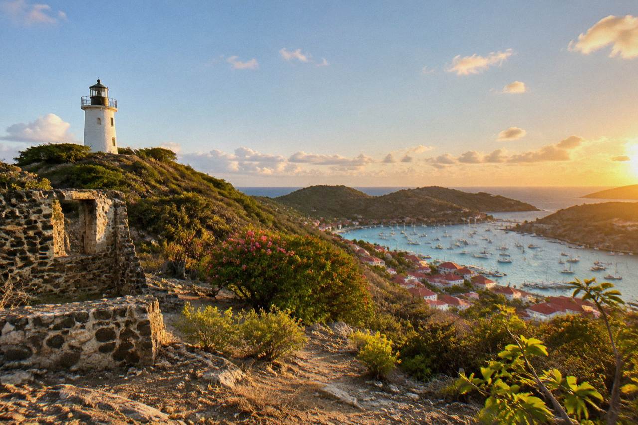
The hilltop fort and lighthouse walk above Gustavia harbour, with reserve rules, viewpoints and boat links covered in one guide.
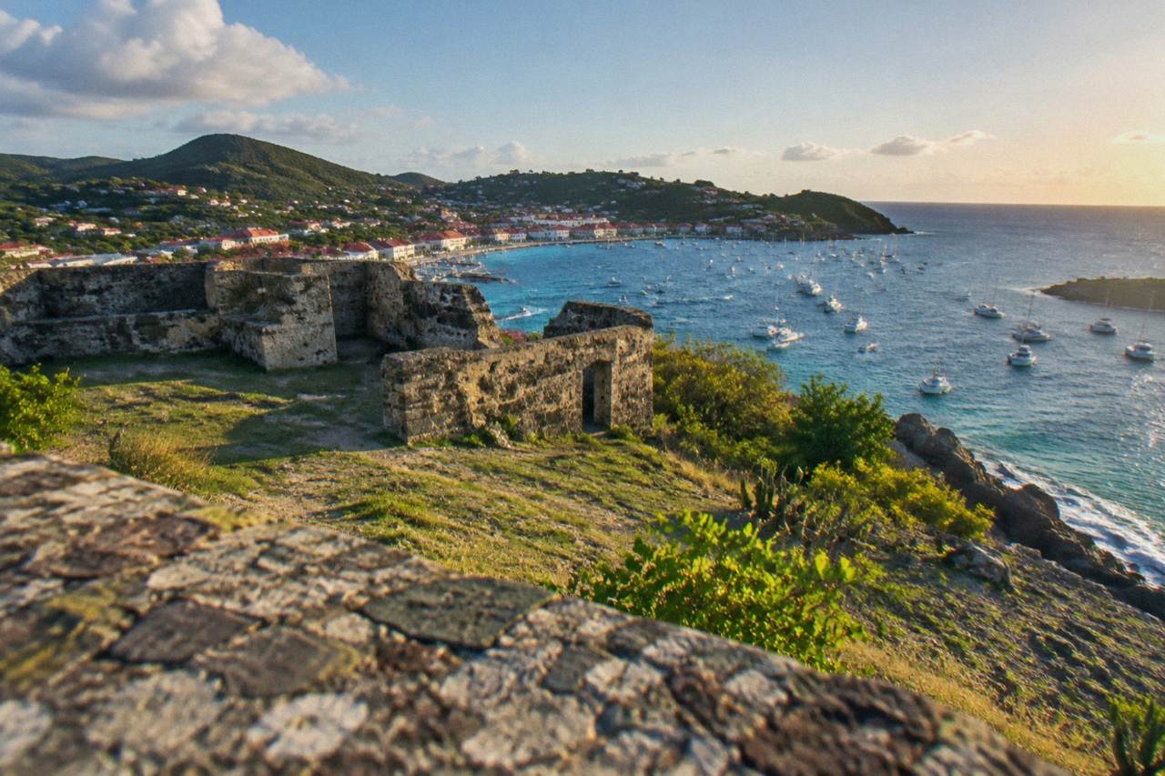
Fort Karl
The ruined headland fort above Shell Beach, with open views over Gustavia harbor and the St Barts coastline.
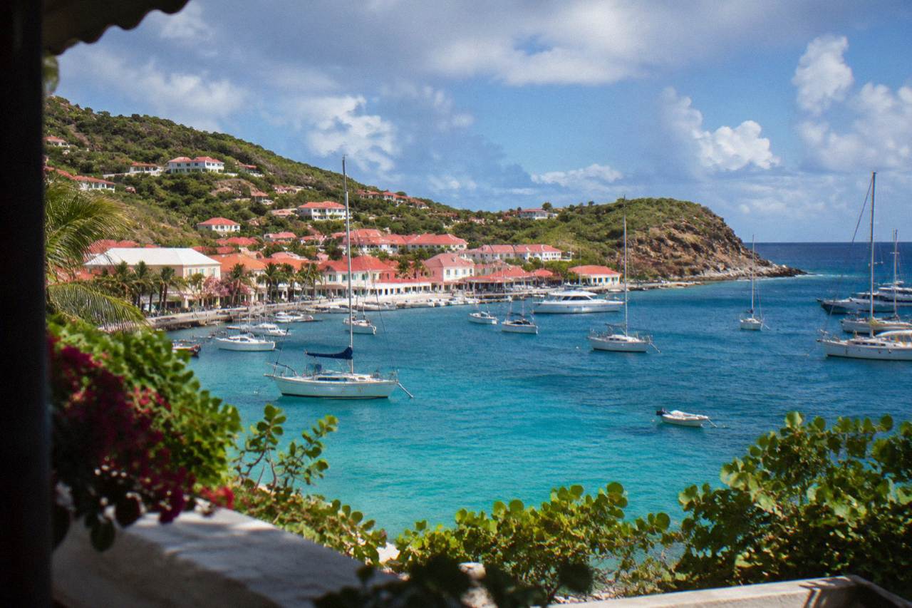
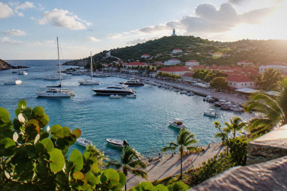
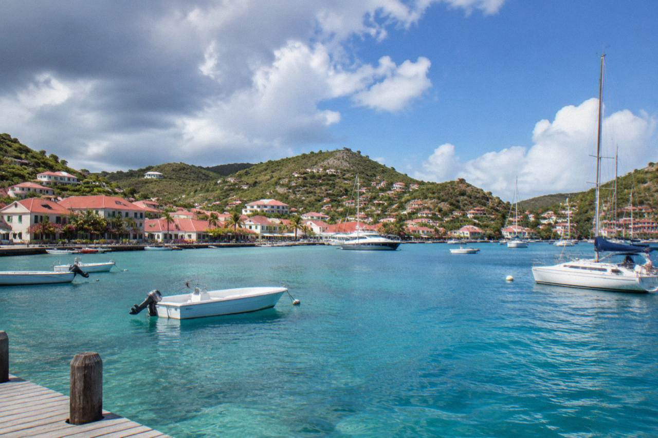
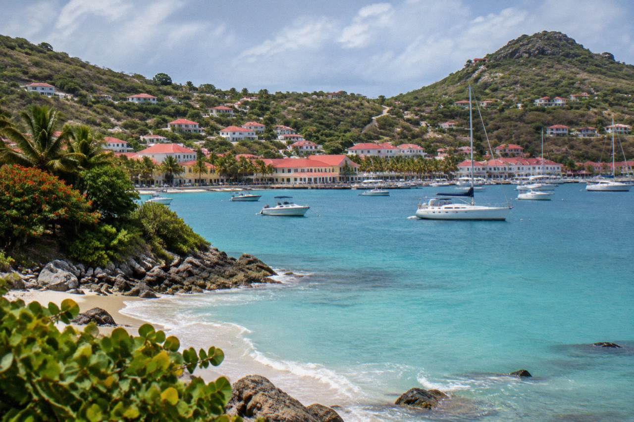
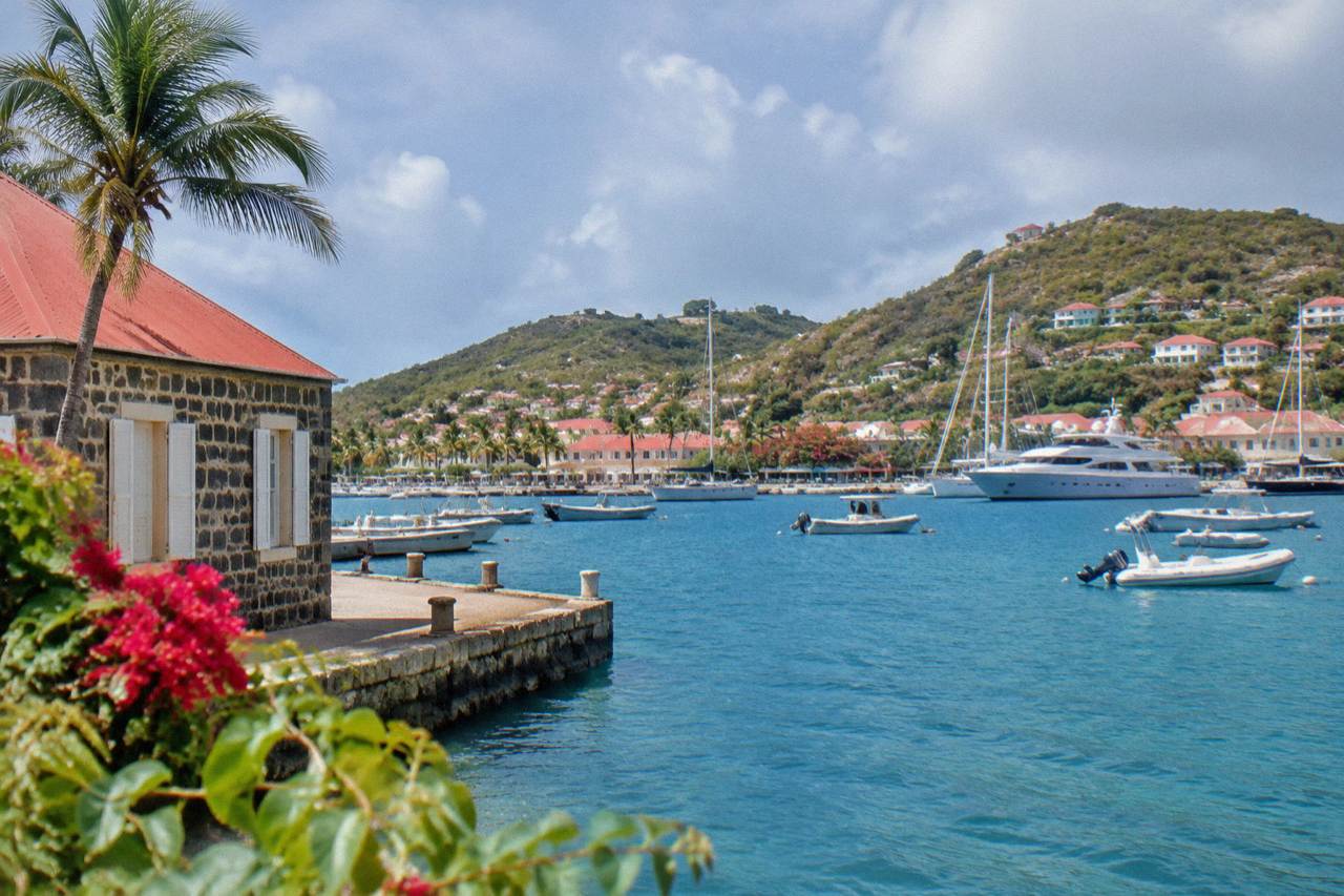
The capital's harbour bay: tenders, yachts, quays and free waterfront walking on St Barts.
Nature
Rules, zones and visitor guidance for the St Barts marine nature reserve, from the 5-knot limit to the beach dog ban.
Sunset
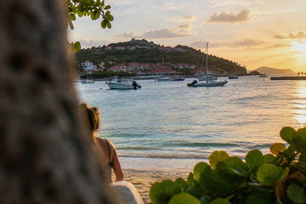
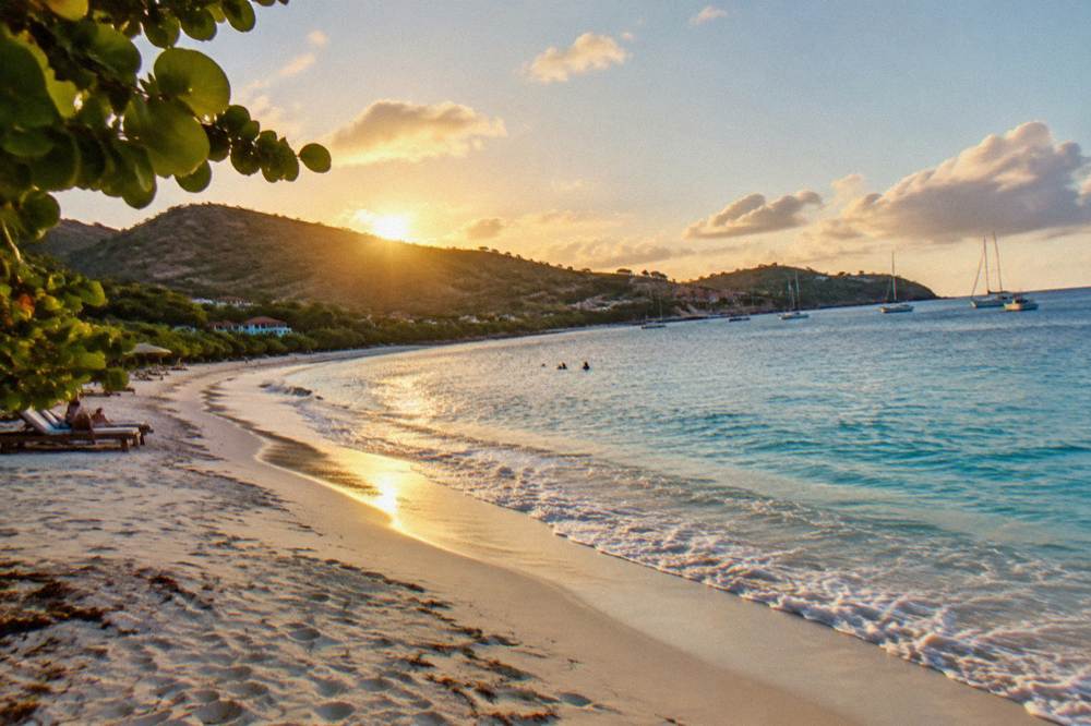
Where to watch the sunset in St Barts: west-facing beaches, Gustavia harbor, and boat trips timed to the evening light.
Beaches
The public bay beside the St Barts airport runway, with orientation, access and planning facts.
Beaches
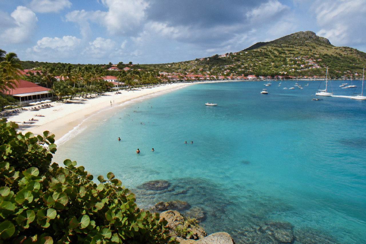
The long northwest bay of St Barts: position, access, where to stay and how it compares with the island's other public beaches.
Beaches
The northeast lagoon beach of St Barts: public sand, shallow water, sea turtles and the marine reserve rules that protect them.
Beaches
Where Anse des Cayes sits on the St Barts map, how to get there, and the island-wide beach rules that apply.
A public south-coast bay on St Barts, close to Gustavia, with marine reserve rules and no development allowed on the sand itself.
Beaches
The public beach and village on St Barts' north shore: location, access, area guide and the island rules that apply.
Beaches
Where Marigot Beach sits on the St Barts map, the reserve rules that apply, and how to reach it by road or by boat from St Martin.
Beaches
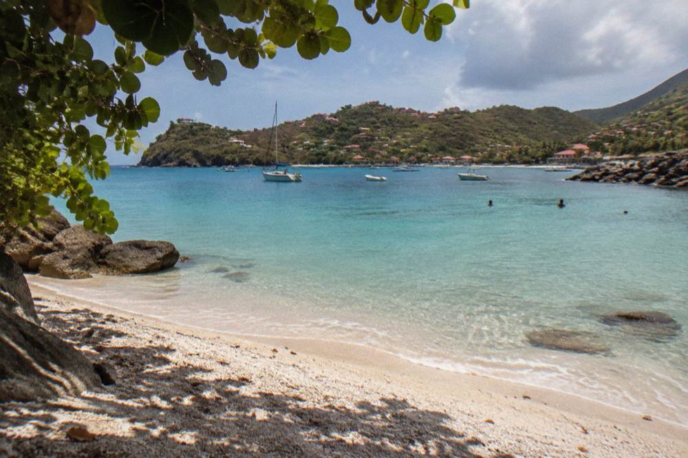
The shell-strewn public beach beside Gustavia, with marine reserve rules, access notes, and St Martin boat trips that pass it.
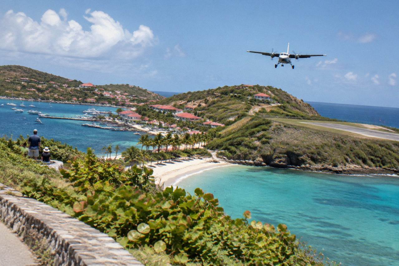
Where to stand at Saint-Jean to watch the turboprops drop over the hill onto St Barts' 646 m runway.
Outdoors
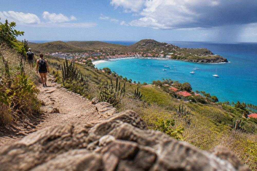
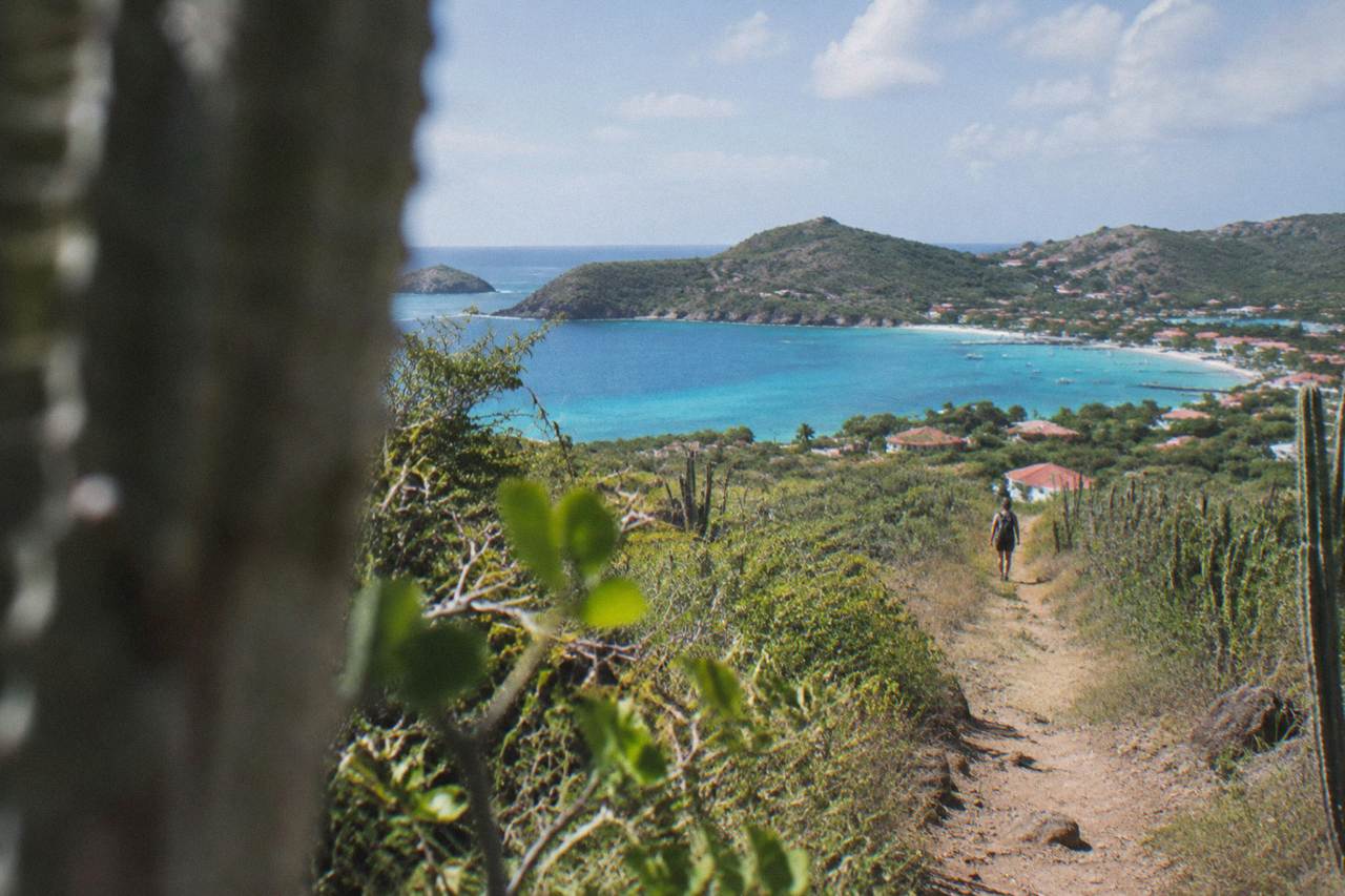
Where to walk on St Barts: coastal paths, hill viewpoints, reserve rules, climate and access from St Martin.
History
Where to find the Swedish layer of St Barts: the Wall House Museum, the fort sites above Gustavia and the island's other small museums.
Coast
The wild southeast shore of St Barts: Anse du Grand Fond, Plage de Toiny and the open-Atlantic coastline of the Toiny headland.
The Wall House Museum on the Gustavia quay: St Barts history in one small harborfront building.
Beaches
The south coast public beach backed by dunes and the Grand Saline salt pond, with a sandy path from the road.
The small northeast cove beside Grand Cul-de-Sac: public shoreline, reserve rules and turtles.
The Inter Oceans shell museum in Corossol village, St Barts: what it is, where Corossol sits on the island map and how to plan a visit.