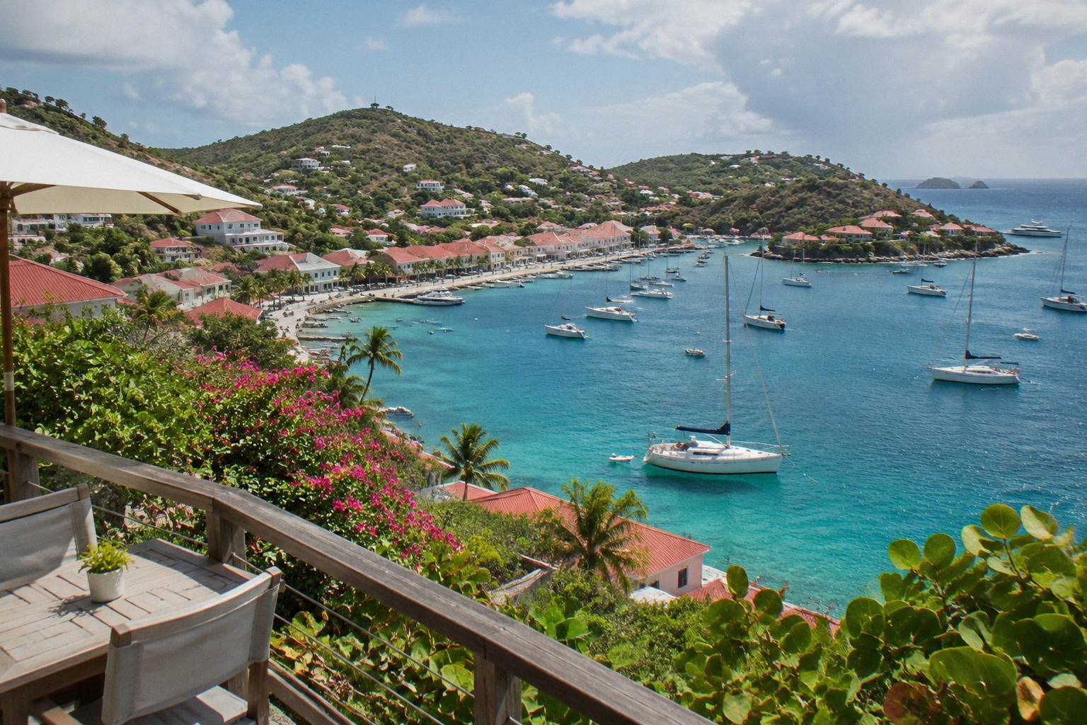
Marigot Beach St Barts: What To Know Before You Go
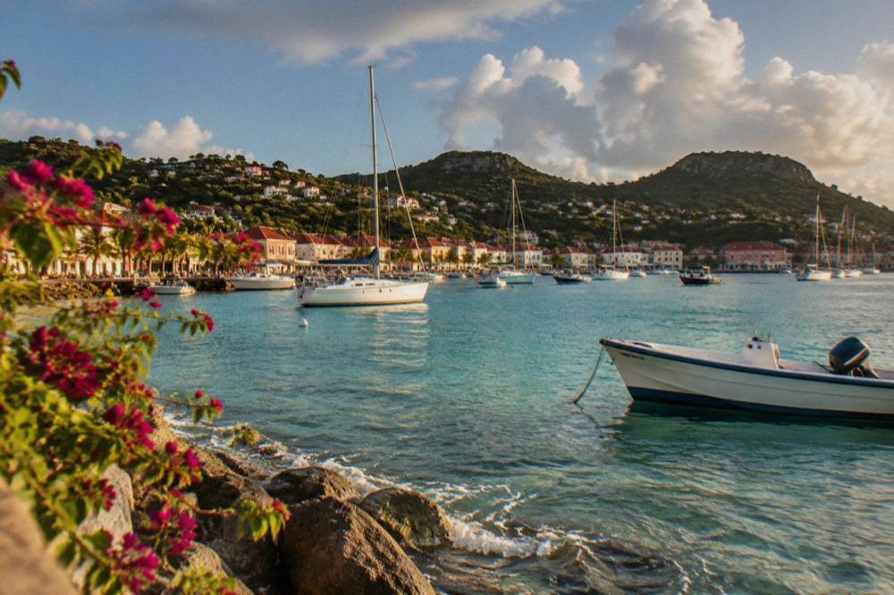
Marigot Beach, known on French maps as Anse de Marigot, is one of the named public beaches of St Barthelemy, sitting on the north-east coast of the island, between Pointe Milou and Grand Cul-de-Sac.
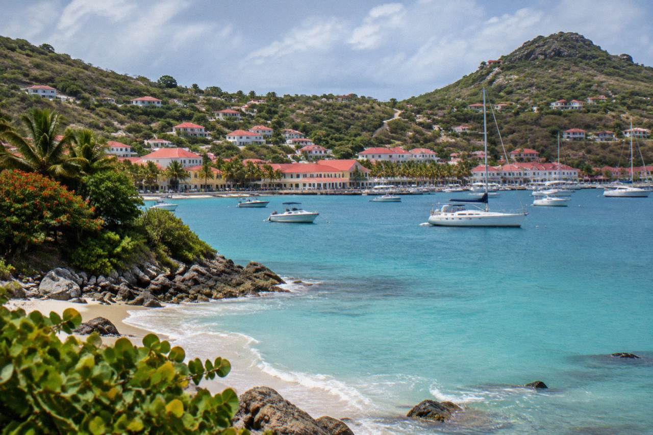
Marigot Beach is a public bay on the north-east coast of St Barts, between Pointe Milou and Grand Cul-de-Sac. All beaches on the island are public, the bay lies close to the marine reserve's protected waters, and access is by the island's narrow hill roads or by boat.
Marigot Beach, written Anse de Marigot on French maps of St Barthelemy, is one of the named public beaches of St Barts, the small French island in the Caribbean that has been an overseas collectivity of France since 2007. The bay sits on the island's north-east coast, between Pointe Milou and Grand Cul-de-Sac. Every beach on St Barts is public by law, and Marigot is no exception: the tourism committee lists it among the island's named strands alongside Saint-Jean, Gouverneur, Saline, Shell Beach, Flamands, Colombier, Grand Cul-de-Sac, Lorient, Toiny and Corossol. This page sets out where the bay is, which rules apply on and off the sand, how access works by road, and how a boat day from St Martin shows the island from the water.
Where Is Marigot Beach In St Barts?
Marigot Beach lies on the north-east coast of St Barts, between Pointe Milou and Grand Cul-de-Sac. The island itself is about 21 square kilometres with roughly 10,700 residents, so the bay sits within a short drive of Gustavia, the capital. Its French name, Anse de Marigot, appears on the island's official maps.
That map position matters more than it does on a larger island. St Barts is small enough that its beaches read as a chain around a single loop of road, and Marigot sits between Pointe Milou and Grand Cul-de-Sac. The tourism committee's beach list places Marigot among these named public strands without ranking them, and no official source describes one bay as better than another.
The name causes occasional confusion with a different Marigot on a different island: Marigot is also the French-side capital town of neighbouring St Martin, where one of the two ferry terminals to St Barts sits. A traveller reading "Marigot" in a St Barts context should check which island is meant, because the two share a name and nothing else. On St Barts, Marigot names a bay and a small valley on the north-east coast, not a town.
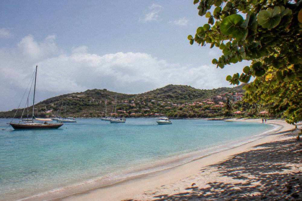
The surrounding landscape is typical of the island: green hills falling steeply to the water, a narrow road threading between them, and a coastline indented with small coves. The island's hills are the reason the road network is the way it is, narrow and winding with steep grades, which shapes every plan to reach a beach by car.
What Rules Apply At Marigot Beach And The St Barts Marine Reserve?
The marine reserve rules that apply across St Barts include a 5-knot speed limit in protected zones, a ban on jet skis and other motorized water devices, a ban on dogs on all beaches island-wide, and a strict rule against touching, chasing or feeding protected species including sea turtles, according to the territorial environment agency's regulatory-zones page. Collecting coral, shells, sand or rocks is prohibited, and anchoring is restricted in protected bays.
Marigot's position matters here: the marine reserve covers several zones around the island, including Colombier Bay and Ile Fourchue, and the environment agency's regulatory-zones page sets the rules for boaters and swimmers across these waters. Turtles are present in the island's waters, and the agency's beach guidance asks anyone who spots a nest or a sighting to report it. The rules exist to protect exactly the kind of bay Marigot is, a quiet cove close to protected waters.
| Rule | What It Says | Who It Applies To |
|---|---|---|
| Speed limit | Maximum 5 knots in reserve zones | All vessels |
| Jet skis and similar | Prohibited, including seabobs and electric surfboards | All users |
| Dogs | Banned from all beaches island-wide, even on a leash | All beachgoers |
| Protected species | No touching, chasing or feeding turtles, corals, urchins, starfish, sharks or rays | Swimmers and boaters |
| Collecting | No taking coral, shells, sand, rocks, plants or crustaceans | Everyone |
| Anchoring | Restricted in protected bays, ecological mooring buoys preferred | Boats |
Two of these rules surprise people. The dog ban is island-wide under a longstanding municipal order, not a reserve-only rule, and it applies to every beach including those far from the protected zones. The no-gloves rule for swimmers exists to prevent collecting, so snorkellers should leave gloves on the boat. Drones are also restricted in and near the reserve without authorization, which matters to anyone filming a boat day on this coast.
For swimmers the practical summary is simple: look, do not touch, take nothing. The water around this coast is part of what the reserve was created to protect, and the environment agency's pages are the authoritative source for the current zone boundaries and rules.
Can You Reach Marigot Beach By Boat From St Martin?
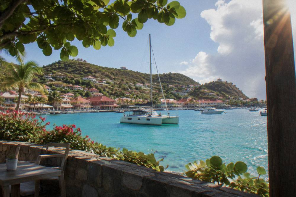
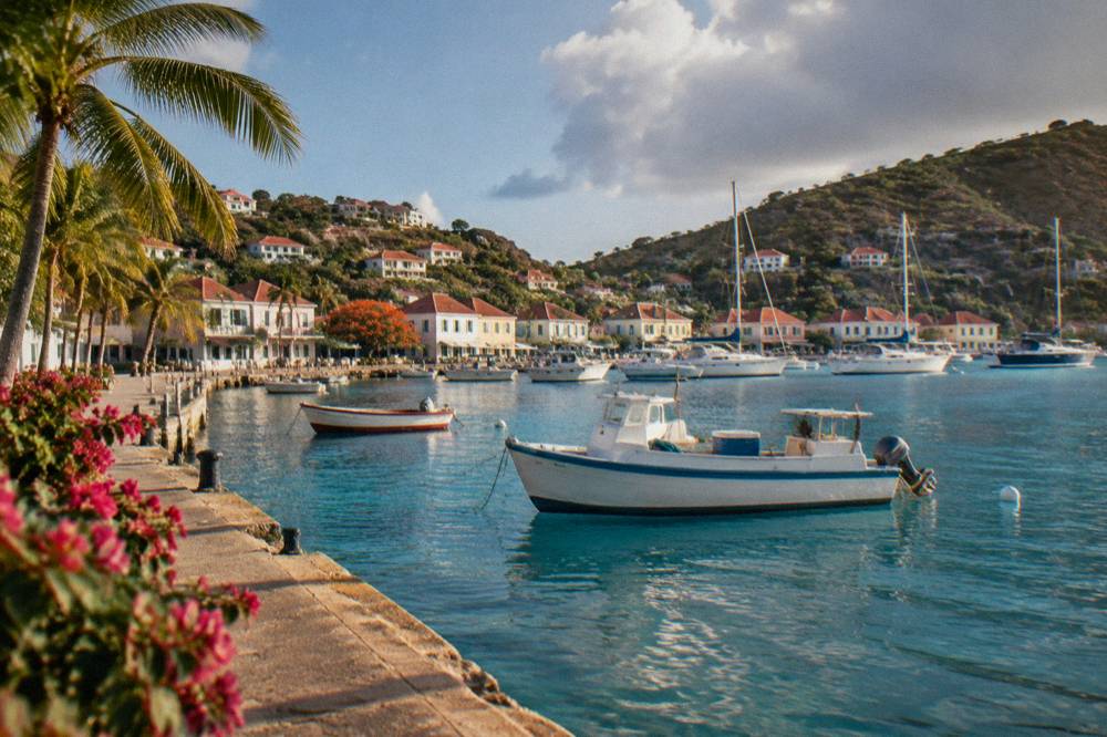
Yes, and a boat is one of the most practical ways to see Marigot Bay, because every bookable boat trip listed here departs from St Martin or Sint Maarten and spends its day on the water around St Barts. Trips leave from Simpson Bay, Cole Bay, Anse Marcel or Grand Case, call at Gustavia, and typically continue to Colombier and Ile Fourchue. No tour departs from St Barts itself.
The flagship option listed here is the Boomerangs group sail and snorkel, a day trip that departs from St Martin and spends its day around the island, with Gustavia, Colombier Beach and Ile Fourchue on the itinerary. The group sail runs per-person on its listing from 12 May to 31 August 2027; outside that window the other products are private charters priced per group. For a party wanting the same coast on their own schedule, a private charter covers it.
| Trip Style | Departure Point | What It Covers |
|---|---|---|
| Group sail and snorkel | St Martin or Sint Maarten | Gustavia, Colombier Beach, Ile Fourchue |
| Private day charter | St Martin or Sint Maarten | Custom itinerary on the St Barts coast |
| Overnight catamaran | St Martin | St Barts coast with an overnight stay aboard |
| Scheduled ferry | Philipsburg or Marigot, St Martin | Gustavia harbour only, no beach calls |
The ferry is the fourth option in that table and a different animal. Great Bay Express runs from Philipsburg, Sint Maarten, to Gustavia in about 45 minutes, and Voyager runs from Marigot, French St Martin, to Gustavia in about 50 to 60 minutes, two to three sailings a day per the operators' pages. The ferry lands you in Gustavia harbour, from which Marigot Bay is a drive up the coast, not a walk. Sea conditions affect the crossing and both operators require a passport. Details are covered fully in the site's St Barts ferry operators guide.
A boat day and a ferry crossing serve different plans. The ferry is a transport link for a stay on the island; the day trips are the way to see the coastline's coves, including this one, from the water in a single day without lodging on St Barts at all.
How Do You Get To Marigot Beach By Road On St Barts?
Access is by the island's road network: narrow, winding and steep, with a 50 km/h island-wide speed limit and 30 km/h in the populated areas around Gustavia and Saint-Jean, per the local driving guidance. Driving is on the right under French rules. Rental counters at Gustaf III Airport include Avis, Budget and Hertz, alongside local agencies and the open-air Mini Moke specialists.
The practical reality of St Barts driving shapes every beach plan. The roads between Gustavia and the north-east coast climb and descend constantly, passing places where two cars cannot pass at once. Small vehicles with higher clearance are the usual choice, and automatics predominate in the rental fleets. The island has one roundabout, near the airport, and French right-of-way rules apply at unsigned intersections.
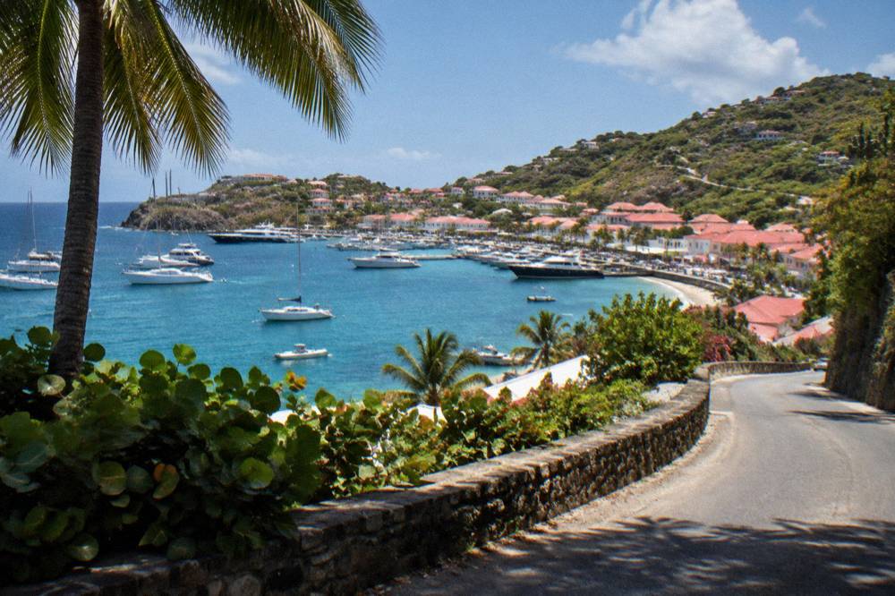
For a beach day on this side of the island, the usual pattern is a loop out of Gustavia by the coast road, stopping at whichever bay the day allows. The full island circuit is short in distance but slow in practice, and the site's car rental guide covers the vehicle choices, while rental car tips covers the road rules in detail. No exact drive time or walking time is available for the journey.
The question of whether a car is needed at all depends on the trip shape. A traveller staying in Gustavia with a boat day booked from St Martin can manage without one; a traveller base-camping on the island to visit a different beach each day will want wheels. That trade-off is laid out in do you need a car in St Barts.
How Does Marigot Beach Compare With The Other Beaches Of St Barts?
Marigot is one of eleven named public beaches on St Barts, and the honest comparison is a map fact, not a ranking: it sits on the north-east coast between Pointe Milou and Grand Cul-de-Sac, while Saint-Jean and Flamands face different angles of the island and Toiny faces the open Atlantic. No official source ranks the island's beaches, and this site prints no calm-water, sand-quality or best-beach claim.
What can be said is structural. All beaches are public. Colombier is the outlier in access terms, reached by boat or by a walk. Shell Beach (Grand Galet) is the one within walking reach of Gustavia. The rest, Marigot included, are road-access coves or bays. The tourism committee's list is the authoritative set of names.
| Beach | Shore | Map Position | Access |
|---|---|---|---|
| Marigot | North-east coast | Between Pointe Milou and Grand Cul-de-Sac | Road, boat |
| Corossol | Caribbean, west | North of Gustavia village | Road |
| Colombier | Caribbean, northwest | Northwest tip of the island | Boat or walk |
| Shell Beach (Grand Galet) | Caribbean, west | Adjacent to Gustavia | Walk or road |
| Saint-Jean | North shore | East of the airport | Road |
| Flamands | North shore | East of Saint-Jean | Road |
| Grand Cul-de-Sac | Northeast | Facing the Atlantic | Road |
| Toiny | Southeast | Atlantic-facing | Road |
Readers planning a full circuit of these bays will find the site's beach hopping itinerary useful, and the beach guide by traveller type matches shores to plans without printing per-beach claims this page cannot support. For the two questions that keep recurring in search, the site's answers pages address the nicest beach in St Barts and the most beautiful beach in St Barts directly.
When Is The Best Time To Visit Marigot Beach St Barts?
The Meteo-France normals for St Barthelemy, 1991-2020, show a mean daily high of 28.5 C in January rising to 31.7 C in September, with 891.3 mm of rain across the year and October the wettest month at 135.6 mm. The island is warm year-round, the sea is warm at about 26 C in winter to about 29 C from August to October, and hurricane season runs from 1 June to 30 November with its peak from mid-August to mid-October.
Those numbers frame the choice without predicting anything. February carries the lowest monthly rain total in the normals at 38.4 mm and October the highest at 135.6 mm, but no month is cold and no month is dry in absolute terms. The high-season pattern on the island, roughly December into April, aligns with the cooler and drier end of the normals table.
| Month | Mean Daily High C | Mean Daily Low C | Rain mm |
|---|---|---|---|
| Jan | 28.5 | 23.5 | 52.6 |
| Feb | 28.6 | 23.3 | 38.4 |
| Mar | 29.0 | 23.5 | 41.4 |
| Apr | 29.8 | 24.2 | 50.9 |
| May | 30.7 | 25.1 | 61.7 |
| Jun | 31.2 | 25.9 | 56.0 |
| Jul | 31.2 | 26.0 | 80.4 |
| Aug | 31.6 | 26.3 | 79.6 |
| Sep | 31.7 | 26.2 | 96.9 |
| Oct | 31.4 | 25.8 | 135.6 |
| Nov | 29.9 | 25.0 | 118.6 |
| Dec | 28.9 | 24.1 | 79.2 |
Two seasonal patterns matter beyond the weather table. Many hotels and restaurants on the island close each autumn and reopen in waves between mid-October and early November, so an October or early-November trip meets a partly reopened island. And the event calendar concentrates in the cooler months: the St Barth Music Festival runs 8 to 18 January 2027 and the Gourmet Festival runs 9 to 15 November 2026, both from organiser announcements.
For the full seasonal picture, including the hurricane-season questions, the site's best time to go guide carries the detail. Nothing in the normals predicts weather on any given date, and no storm, crowd or availability forecast is made here.
What Is There To Do Near Marigot Beach St Barts?
The near neighbours are Pointe Milou on one side and Grand Cul-de-Sac on the other, with Gustavia a short drive away. Everything on this list is a public beach or an open public place, and no walking tour is listed here, so the free options are the beaches themselves and the open harbourside and village spaces.
A day built around Marigot naturally strings together Pointe Milou and Grand Cul-de-Sac. Colombier, the island's boat-access beach, has its own walk and marine reserve pages with the access facts.
The Colombier sail tour from St Martin covers Gustavia harbour, Colombier and Ile Fourchue in one loop, which is why it is this page's featured trip. For a different angle on the same water, the site's Gustavia harbour guide covers the town the boats call at.
| Nearby Place | Type | Direction From Marigot |
|---|---|---|
| Pointe Milou | Headland and villa district | Adjacent |
| Grand Cul-de-Sac | Lagoon-side public beach | Adjacent |
| Gustavia | Harbour capital, shops, harbourfront | A short drive |
| Shell Beach (Grand Galet) | Public beach by Gustavia | South, in the capital |
Should You Choose A Private Charter Or The Group Sail For This Coast?
The choice comes down to how the day is priced and run: the group sail is sold per person and runs on its listing from 12 May to 31 August 2027, while the other products are private charters sold per group for the whole boat, departing from St Martin or Sint Maarten. No group size is quoted as a selling point here, and all prices, ratings and durations render from the live listings rather than from this page.
For a solo traveller or a couple whose dates fall inside the group sail's season window, the per-person product is the straightforward pick. For families or groups of friends, a private charter prices the boat as one unit and sets its own stops, which on this coast usually means Gustavia, a snorkelling bay and time at anchor. The Nikki Beach charter ties the day to the beach club of the same name on Saint-Jean, covered in the site's Nikki Beach guide, while the overnight catamaran adds a night aboard and turns the day trip into a short cruise.
Whichever shape suits, the departure point is the same fact every time: these trips leave from St Martin or Sint Maarten, not from St Barts, so they pair naturally with a stay on the neighbouring island or with a flight into SXM. The site's getting to St Barts page covers the gateway options, and St Maarten before or after St Barts covers the pairing question directly.
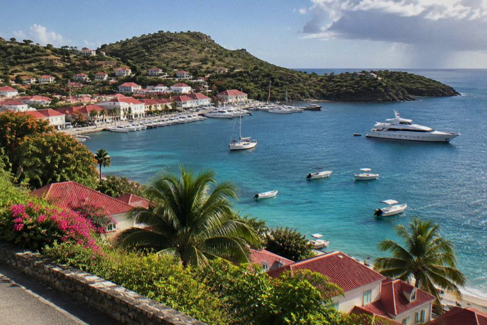
For readers weighing the overnight option seriously, the detail sits on the tour's own page, and the site's one week itinerary shows how a night aboard fits a longer trip built around both islands.
Common Questions About Marigot Beach St Barts
Is Marigot Beach in St Barts public?
Yes. All beaches on St Barts are public, and the tourism committee lists Marigot among the island's named beaches alongside Saint-Jean, Gouverneur, Saline, Shell Beach, Flamands, Colombier, Grand Cul-de-Sac, Lorient, Toiny and Corossol.
Can you walk to Marigot Beach from Gustavia?
No walking time or route figure is given for that journey. The bay lies on the north-east coast, between Pointe Milou and Grand Cul-de-Sac, and access is by road or by boat. Colombier is the island's beach reached by boat or by a walk.
Are dogs allowed on Marigot Beach?
No. Dogs are banned from all beaches on St Barts island-wide under a municipal order, even on a leash, and the territorial environment agency's beach guidance confirms the rule exists to protect wildlife including nesting turtles and shore birds.
Can you snorkel at Marigot Beach?
The waters of this coast sit close to the marine reserve's protected zones, and the environment agency's rules for swimmers apply: no touching or chasing turtles and other protected species, no gloves in the water, and no collecting coral, shells or sand. The reserve's regulatory-zones page is the authoritative source for zone boundaries.
How do you get to Marigot Beach from St Martin?
Two ways. The scheduled ferries, Great Bay Express from Philipsburg and Voyager from Marigot on the French side, reach Gustavia in about 45 and about 50 to 60 minutes respectively, from where the bay is a drive up the coast. Or a boat day trip from St Martin shows the island from the water, calling at Gustavia, Colombier and Ile Fourchue.
Is Marigot Beach the same as Marigot on St Martin?
No. Marigot is also the French-side capital town of St Martin, where the Voyager ferry terminal sits. On St Barts, Marigot names a bay on the island's north-east coast. Always check which island a "Marigot" reference belongs to.
Planning A Marigot Beach Day: The Short Version
A day around Marigot Beach on St Barts comes down to three choices: arrive by ferry or small plane and drive the coast road, or see the bay from the water on a boat day from St Martin; respect the marine reserve rules on the 5-knot zones, the dog ban and the no-touching rules; and time the trip against the Meteo-France normals, warm year-round with October the wettest month at 135.6 mm. Every beach is public, and no tour departs from St Barts itself.
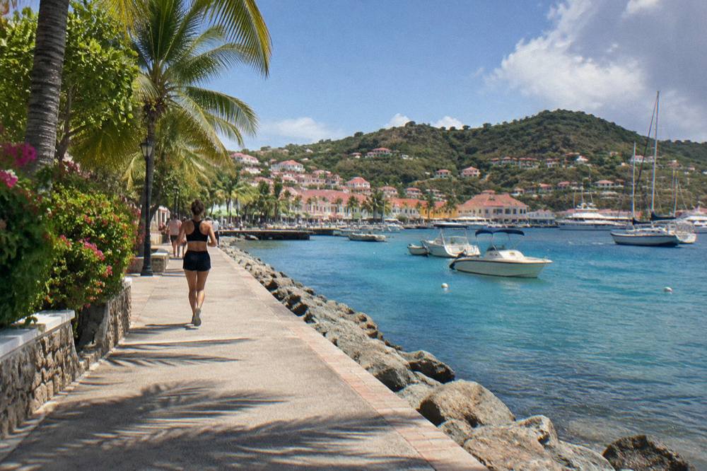
The bay rewards exactly the kind of slow day St Barts lends itself to: a morning on one beach, a drive along the coast, an afternoon somewhere on the water. Readers building a longer stay can start from the things to do in St Barts overview, and the boat options below cover the coast this page describes.
Marigot Beach will not headline every guide to St Barts, and that is part of its character on the map: a public bay on the quiet north-east coast, a short loop from the capital, between Pointe Milou and Grand Cul-de-Sac. For the current state of the reserve zones, the ferry operators' live pages remain the working reference for any crossing, and the environment agency's regulatory-zones page remains the working reference for the water.