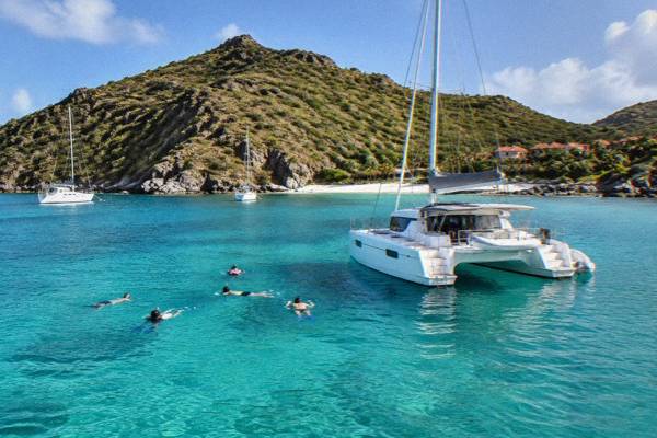
St Barts Beach-Hopping Itinerary
St Barthelemy, better known as St Barts, packs more than a dozen public beaches into about 21 square kilometres, which makes it one of the easiest islands in the Caribbean to hop between shores in a single day.
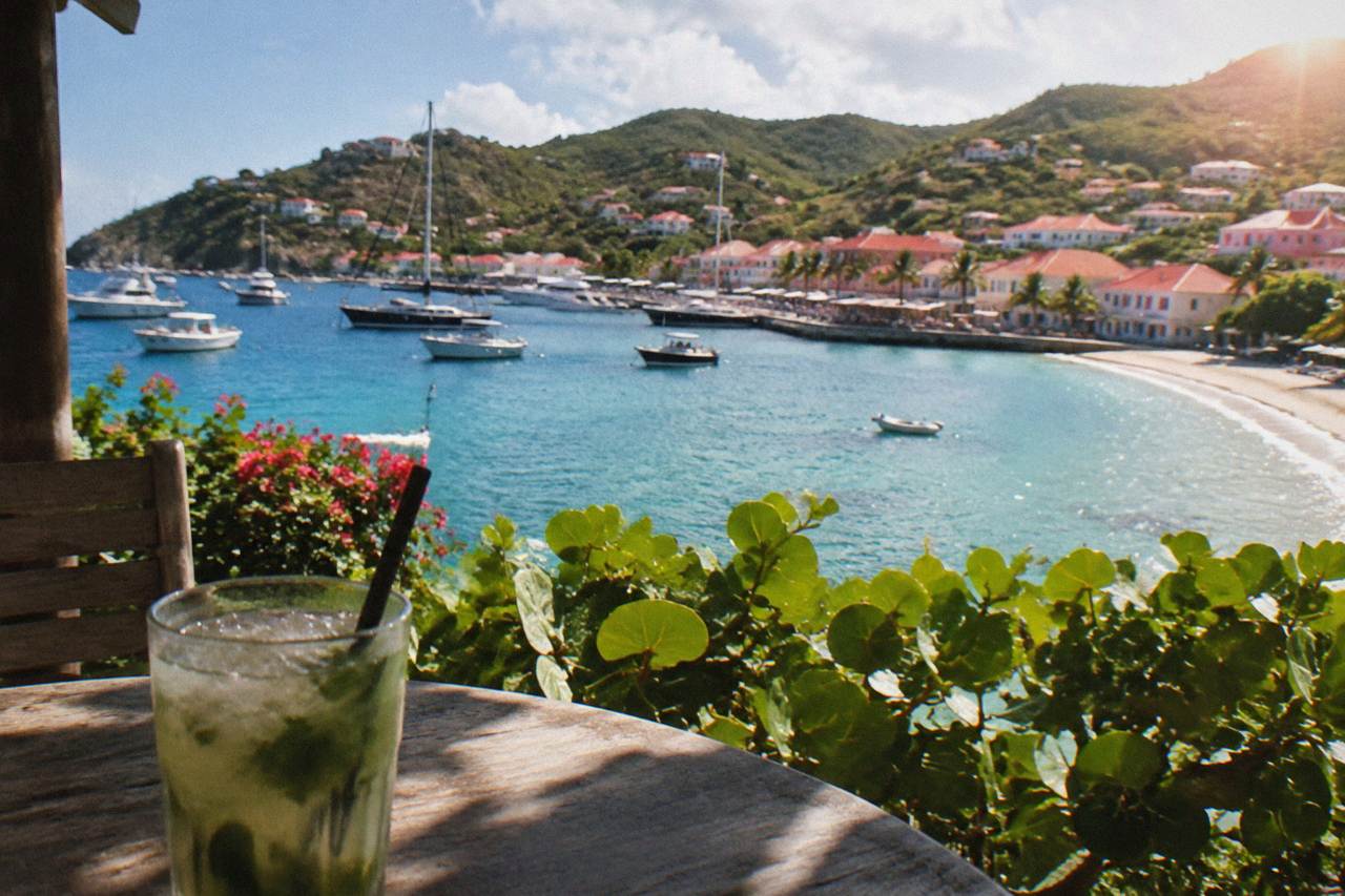
Group the beaches by coast: Shell Beach near Gustavia, then Gouverneur and Saline on the south coast, Colombier by boat or on foot, and Saint-Jean, Lorient and Grand Cul-de-Sac on the north and east sides. All beaches are public, a rental car or taxi is the practical way to move between them, and the marine reserve's rules shape what you can do at Colombier and in the water.
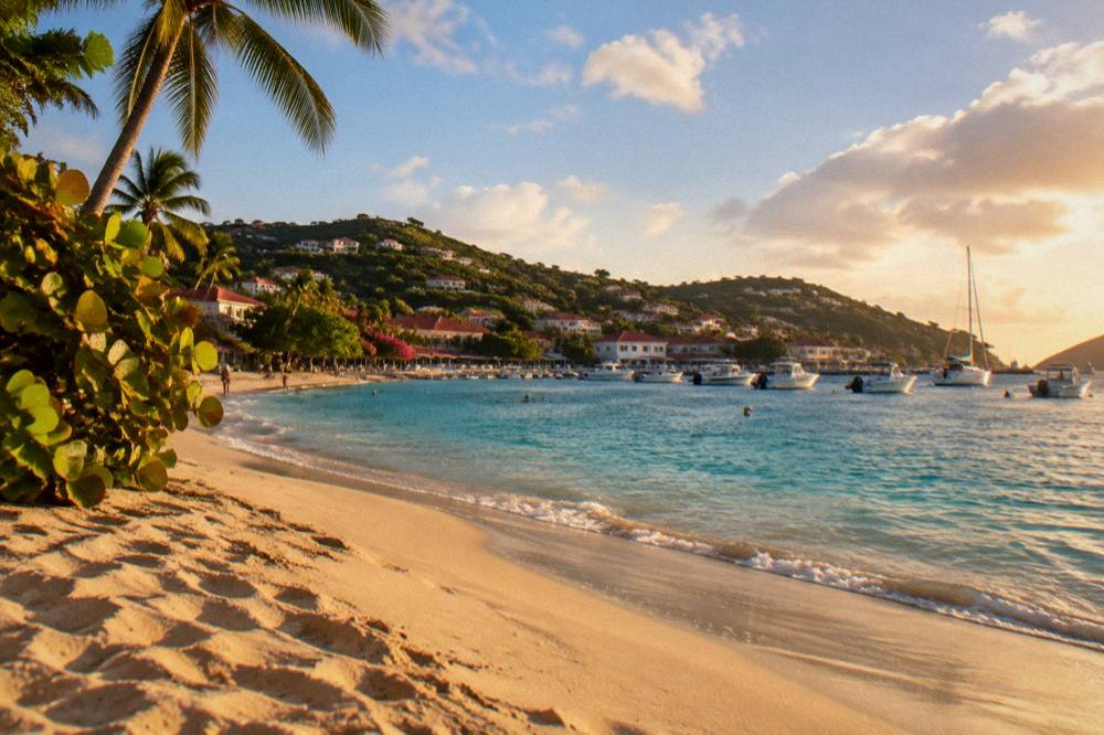
St Barthelemy, written St Barts, is a small French island in the Caribbean where the beaches sit close enough together that a shoreline-to-shoreline day is a realistic plan rather than a fantasy. Every beach on the island is public, the ring road links the coasts, and the whole territory covers about 21 square kilometres, so the challenge is not distance but choosing which shores to pair. This itinerary groups the beaches by coast, sets out the rules that shape a day on the sand and in the water, and shows how a boat day from St Martin can cover the shores that are hardest to reach by road.
What Is The Best St Barts Beach-Hopping Route For One Day?
The most efficient one-day route runs counterclockwise from Gustavia: Shell Beach first, then Gouverneur and Saline on the south coast, then Colombier by boat or on foot if time allows, finishing at Saint-Jean or Lorient on the north side before returning to town. The logic is geographic. Shell Beach sits beside Gustavia, Gouverneur and Saline line up along the south coast one after the other, and Saint-Jean, Lorient and Grand Cul-de-Sac string along the north and east shores. Grouping by coast keeps the driving short and leaves the longest stretch of the day for the water rather than the road.
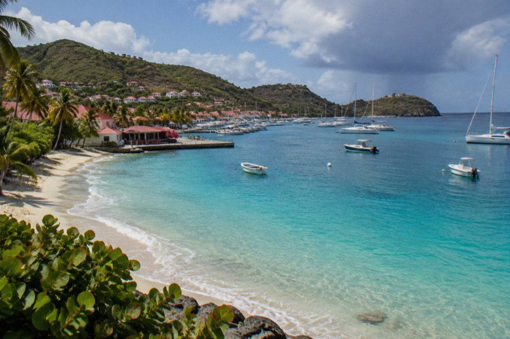
All of these beaches are public, which matters for planning: there is no private shore to work around, and no entrance fee at any of them. The tourism committee's site lists the named beaches, Saint-Jean, Gouverneur, Saline, Shell Beach, Flamands, Colombier, Grand Cul-de-Sac, Lorient, Toiny, Marigot and Corossol, as the island's recognized shores. A one-day hopper who wants sand variety without long stops can reasonably cover four of them; two done slowly is the calmer version of the same day.
The order above also respects the sun. Decide whether the morning goes to the beaches nearest town or to the farther coast, then work back toward Gustavia so the last leg is short. If a boat day is on the itinerary instead, the road plan shrinks to a single shore before or after the sailing. The fuller island plan lives in the St Barts itinerary guide, which sequences beaches, town and viewpoints across several days.
| Stop | Beach | Coast | Why it fits the route |
|---|---|---|---|
| 1 | Shell Beach (Grand Galet) | Gustavia, west | Beside the harbour town, the natural first or last stop |
| 2 | Gouverneur | South | Next shore east after the town side of the south coast |
| 3 | Saline | South | Continues the south-coast sequence |
| 4 | Colombier | Northwest | Reached by boat or by a walk, not a direct road stop |
| 5 | Saint-Jean | North | Airport-side shore on the return toward Gustavia |
| 6 | Lorient | North | Final short stop before town |
How Many Days Do You Need For Beach Hopping In St Barts?
Two days cover the road-accessible shores comfortably and three days add the boat-only experiences: the first day for the south coast around Gustavia, the second for the north and east shores from Flamands to Grand Cul-de-Sac, and a third for a sailing day that reaches Colombier and Ile Fourchue from the water. One compressed day works, but it turns the trip into driving with swim breaks. Two days let each coast breathe, and the third day is where the island's harder-to-reach shores come into play, because Colombier and Ile Fourchue sit inside the marine reserve and suit a boat approach.
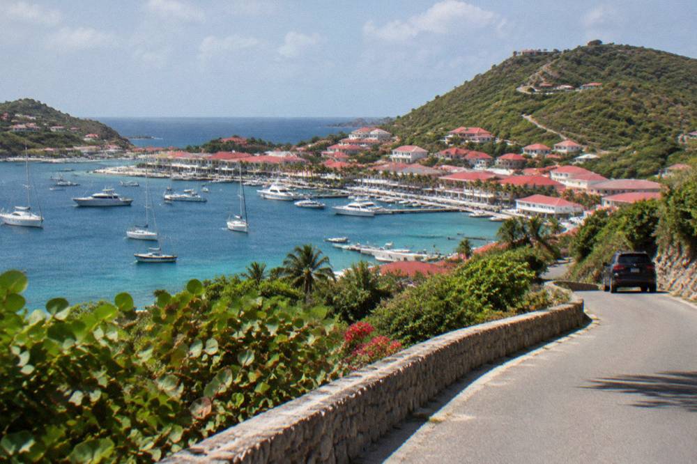
The seasonal layer matters for multi-day plans. Many hotels and restaurants close each autumn and reopen between mid-October and early November, so an October trip meets a quieter island than a January one, and the calendar of what is open shifts with it. The sea stays warm year-round, about 26 C in winter to about 29 C from August to October. Travellers pairing the beach days with a broader first visit can borrow structure from the first-timer itinerary, and couples will find the shore sequencing reuseable in the honeymoon itinerary.
A two-day split also keeps the driving honest. The island's roads are narrow, winding and steep, and the practical speed limits are 50 km/h island-wide with 30 km/h in Gustavia and Saint-Jean, so a day built around one coast spends less time on switchbacks than a day criss-crossing between them. Three days, with the third on the water, is the version that reaches every shore on the list without rushing any of them.
| Day | Focus | Shores in play |
|---|---|---|
| 1 | Gustavia and the south coast | Shell Beach, Gouverneur, Saline |
| 2 | North and east coasts | Flamands, Saint-Jean, Lorient, Grand Cul-de-Sac |
| 3 (optional) | Boat day from St Martin | Colombier, Ile Fourchue, Gustavia by sea |
| Add-on | Quiet corners | Corossol, Marigot, Toiny, Anse des Cayes |
Which St Barts Beaches Sit Closest To Gustavia?
Shell Beach (Grand Galet) is the shore closest to Gustavia, sitting beside the harbour town on the west side, while Gouverneur and Saline are the next beaches out along the south coast and Flamands is the nearest of the north-coast shores to town. For a beach-hopper based in Gustavia, that puts four public beaches within a short drive of the harbour: one on the doorstep, two along the south coast and one over the hill to the north. The town's own attractions, from the harbour front to the Wall House Museum and the island's Swedish-era sites, sit within the same small radius.
Shell Beach doubles as the town beach. Because it walks-distance from the harbour, it fits a morning swim before the shops open or a late stop after a day elsewhere, and the Gustavia harbor guide coastline context explains how the west shore relates to the port. Gouverneur and Saline, both public, sit southeast of town in sequence, each reached from the main coastal road. Flamands sits north over the central hills, and from Flamands the road continues to the north-coast string.
The east and north shores complete the map. Grand Cul-de-Sac and Lorient line the protected northeast side, Grand Cul-de-Sac farthest east, while Corossol and Marigot sit on the sheltered west-facing side north of Gustavia. Toiny and Anse des Cayes round out the southeast and north. None of them charges entry, and none has a private stretch: the public rule runs island-wide.
| Beach | Side of the island | Relation to Gustavia |
|---|---|---|
| Shell Beach (Grand Galet) | West | Beside the town |
| Gouverneur | South | First major south-coast shore from town |
| Saline | South | East of Gouverneur on the same coast |
| Flamands | North | Nearest north-coast shore over the hill |
| Saint-Jean | North | Airport side, east of Flamands |
| Lorient | North | East of Saint-Jean |
| Grand Cul-de-Sac | East | Farthest east of the north shores |
| Corossol | West | North of Gustavia on the west side |
| Toiny | Southeast | Southeast corner of the island |
| Colombier | Northwest | No direct road; boat or walk only |
How Do You Get Around St Barts For A Beach-Hopping Trip?
A rental car is the standard way to beach-hop St Barts, with taxi as the alternative for travellers who prefer not to drive the island's narrow, steep roads; driving is on the right, speed limits run 50 km/h island-wide and 30 km/h in Gustavia and Saint-Jean, and the airport counters include Avis, Budget and Hertz alongside local agencies and Mini Moke specialists. There is no island-wide public transport that strings the beaches together, so the choice is essentially self-drive or driver. The roads reward confidence: they are winding, hilly and often tight, which is why small vehicles and Mini Mokes are the common rental choices.
Ready to sort the driving for your beach circuit? Book a rental car.
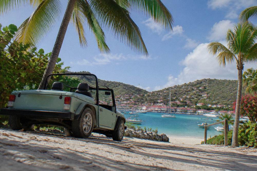
Booking ahead matters in the December-to-April high season, when rental fleets and parking both tighten. Rental companies at SBH include the international brands plus local operators, and delivery to hotels and villas is commonly available; confirm terms, insurance and the minimum driver age directly with the company, because the age floor varies by firm. The alternative page on whether a car is worth renting on St Barts is a separate question; here the short version is that a beach-hopping plan without wheels depends on taxis or a boat.
For the boat-linked part of the plan, the two scheduled ferry operators connect St Martin and Sint Maarten with Gustavia: Great Bay Express from Philipsburg on the Dutch side, about 45 minutes, and Voyager from Marigot on the French side, about 50 to 60 minutes. The crossing can be rough, and sailings depend on weather. Arriving by ferry puts a beach-hopper in Gustavia with Shell Beach on the doorstep, though the bookable boat tours listed here all depart from St Martin or Sint Maarten and visit St Barts rather than starting on the island.
| Mode | What the plan needs to know |
|---|---|
| Rental car | Right-side driving; 50 km/h island-wide, 30 km/h in Gustavia and Saint-Jean; book ahead for December to April |
| Mini Moke | Open-air local speciality, available through local agencies; minimal protection from sun or rain |
| Taxi | Driver-based alternative; agree the fare before the ride |
| Ferry from St Martin | Great Bay Express from Philipsburg, about 45 minutes; Voyager from Marigot, about 50 to 60 minutes |
| Boat tour | All tours listed here depart St Martin or Sint Maarten and visit St Barts |
What Rules Apply On St Barts Beaches And In The Marine Reserve?
The marine reserve's rules, published by the environment agency, set a 5-knot speed limit in its zones, ban jet skis and other motorized water devices, list 23 dive sites, forbid dogs on the beaches and ask visitors not to touch turtles or any protected species, and no collecting of coral, shells or sand is allowed anywhere in the zones. These rules bind the boat part of a beach-hopping plan most directly, because Colombier Bay and the waters around Ile Fourchue sit inside the reserve. Anchoring is restricted and ecological mooring buoys are preferred, with vessels over 25 m excluded from those bays altogether.
The dog ban is island-wide, not reserve-specific: a municipal order prohibits dogs on all beaches, even on a leash, and the environment agency's beach page explains that the rule protects birds, reptiles and nesting turtles. Turtles are the emblematic case. Green and hawksbill turtles appear around St Barts, and the agency's instruction is strict: no touching, chasing or feeding, and nests or sightings should be reported rather than approached. The sea turtle guide entry covers the practical side of encountering them.
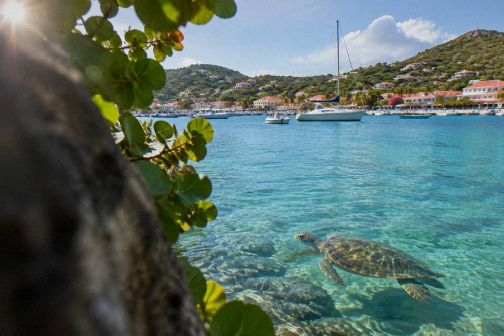
For a beach-hopper the summary is simple. Swim, walk and snorkel are open to everyone on public sand; jet skis, seabobs and towed sports are not available in the reserve zones; drones need authorization and are restricted near the reserve; and nothing gets taken home, not a shell, not a scoop of sand. Visitors who want the fuller picture can read the nature reserve guide treatment of the zones before planning a boat day.
| Rule | Where it applies | What it means for a beach day |
|---|---|---|
| 5-knot speed limit | Reserve zones on the water | Boats move slowly inside the zones |
| No jet skis or motorized devices | Reserve zones | No jet ski or seabob activity |
| No dogs | All beaches island-wide | Leave pets at the villa, even leashed |
| No touching turtles or protected species | Island-wide waters | Watch, never touch or chase |
| No collecting coral, shells or sand | Reserve zones | Take nothing from the shore or sea |
| Drones restricted | In and near the reserve | Authorization required first |
Can You Reach Colombier Beach Without A Boat?
Colombier, on the northwest coast, is the one named beach on the island without a direct road connection: it is reached either by boat, which is how the sailing tours listed here approach it, or by a walk from the trailhead end of the road network, and the environment agency counts its bay inside the marine reserve with all the zone rules that follow. That dual access is exactly why Colombier anchors so many beach-hopping plans. From the water it is a slow, buoy-preferred arrival inside a protected bay; from the land it is a walk-in shore at the end of a trail.
No walk time or trail length is published, so the honest planning note is simply that the trail is a real walk, not a stroll from a parking spot, and that shoes and water belong in the bag. The Colombier beach guide covers the shore itself; the beach-hopping question is only sequencing. A land-based day pairs Colombier with Flamands or Saint-Jean, the nearest road shores to its trailhead side, while a boat day reaches it from St Martin in the company of Ile Fourchue and Gustavia.
The boat version is the group option. It departs St Martin or Sint Maarten, never St Barts, and ties Colombier to Ile Fourchue in a single booked day.
Whether by trail or by boat, the reserve rules from the previous section govern the bay: no dogs, no collecting, 5 knots for arriving vessels. The beach itself is public like every other on the island, so the choice between walking and sailing is about effort and time, not access rights.
What Is The Best Time Of Year For St Barts Beach Hopping?
The November-to-April dry half of the year is the core beach-hopping season: Meteo-France normals for 1991-2020 show mean daily highs of 28.5 C in January rising toward 30 C by April with the year's lowest rain months, February at 38.4 mm and March at 41.4 mm, while the June-to-November hurricane season brings the warmest water but also the wettest months, October at 135.6 mm. The island never gets cold; January's average low is 23.5 C. The trade-off is between the drier, busier high season and the warmer, wetter, quieter low season.
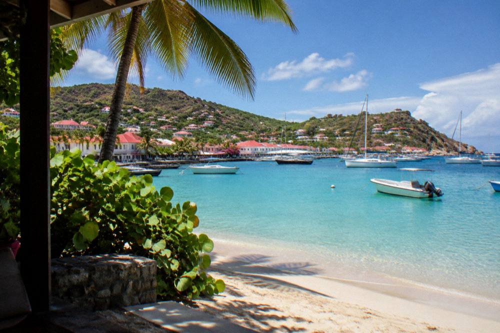
Hurricane season runs from 1 June to 30 November, with the peak of activity from mid-August to mid-October and the climatological peak near 10 September. That is a climatology statement, not a forecast: no date is guaranteed a storm, and none is guaranteed calm. What it does mean for planning is that the September-to-early-October window coincides with the annual hotel and restaurant closures, when many properties shut for maintenance and reopen between mid-October and early November. Beach-hoppers in that window find open sand and warm sea, about 29 C from August to October, with a thinner set of services around them.
The events calendar can sharpen the choice. The St Barth Music Festival runs 8 to 18 January 2027, the Gourmet Festival runs 9 to 15 November 2026, and the Bucket Regatta falls in mid-March. A beach-hopping plan that lands on one of those weeks gains a spectacle in Gustavia harbour on top of the shores. The month-by-month detail, including what the rain figures mean in practice, sits in the best time to go season guide.
| Month | Mean daily high (C) | Rain (mm) | Season note |
|---|---|---|---|
| January | 28.5 | 52.6 | Music Festival 8 to 18 Jan 2027 |
| February | 28.6 | 38.4 | Lowest rain month in the normals |
| March | 29.0 | 41.4 | Bucket Regatta in mid-March |
| April | 29.8 | 50.9 | Late high season |
| July | 31.2 | 80.4 | Hurricane season, warm sea |
| September | 31.7 | 96.9 | Warmest average high; deepest closures |
| October | 31.4 | 135.6 | Wettest month in the normals |
| November | 29.9 | 118.6 | Gourmet Festival 9 to 15 Nov 2026 |
Can You Combine St Barts Beach Hopping With A Day Trip From St Martin?
Yes, and it is the one way to beach-hop St Barts without driving at all: every bookable tour listed here departs from St Martin or Sint Maarten and visits St Barts, so a day tripper can board a group sail or private charter, reach Gustavia, Colombier or Ile Fourchue by water, and be back across the channel the same evening, or extend to an overnight catamaran stay. The constraint to plan around is fixed: none of these products starts on St Barts. The departure points sit on the neighbouring island, at marinas on the Dutch and French sides.
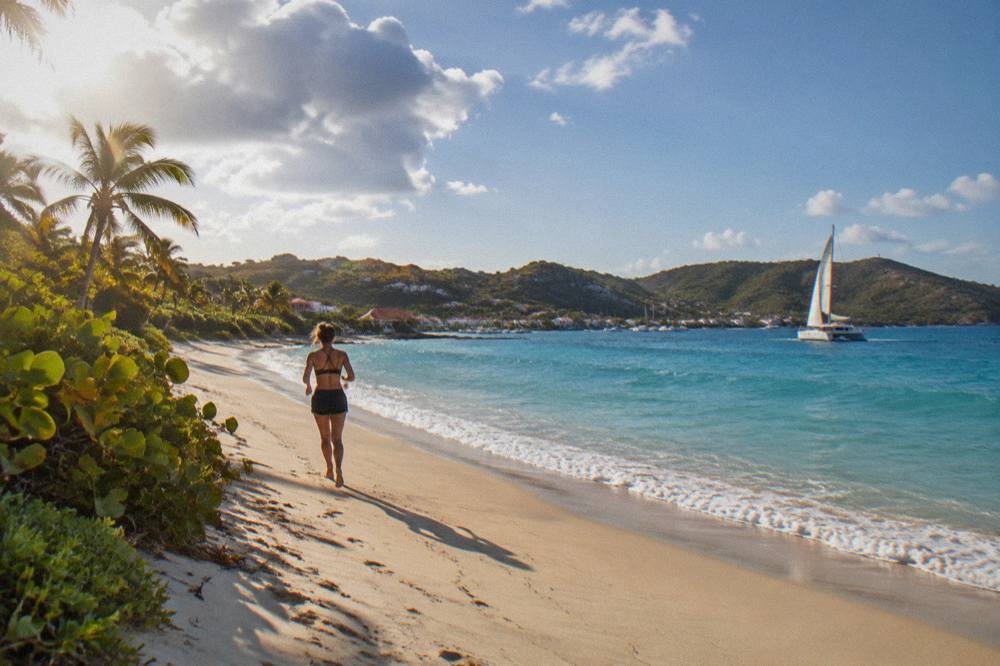
The per-person group sail covers Gustavia, Colombier and Ile Fourchue in one day, which makes it the closest thing to a boat-based beach hop listed here. One seasonal note comes from its own listing: the per-person departures run only from 12 May to 31 August 2027. Outside that window the private charter becomes the route to the same shores, and the Nikki Beach charter page describes the version that pairs the crossing with a beach-club stop.
For travellers who want the night as well as the day, the overnight catamaran keeps the boat after the sun goes down and returns the next day, mooring in St Barts waters rather than day-tripping back. It suits a plan that treats the sailing itself as the accommodation.
A day trip and an on-island hop are not mutually exclusive. A common pattern is two or three nights on St Barts for the road-accessible shores plus one booked sailing day for the reserve bays, or the reverse: a St Martin base with one or two boat days touching St Barts. The island comparison guide and the broader things to do on St Barts page frame both versions.
Common Questions About St Barts Beach Hopping
Are all beaches in St Barts public?
Yes. Every beach on the island is public and free to access, including the shores beside hotels and villas. The named public beaches include Saint-Jean, Gouverneur, Saline, Shell Beach, Flamands, Colombier, Grand Cul-de-Sac, Lorient, Toiny, Marigot and Corossol.
Can you beach-hop St Barts without a car?
It is possible but limited. There is no island-wide public transport linking the beaches, so a car-free plan rests on taxis, on basing yourself in Gustavia beside Shell Beach, or on a boat day from St Martin that reaches Gustavia, Colombier and Ile Fourchue by water.
Which St Barts beach is closest to Gustavia?
Shell Beach, also called Grand Galet, sits beside the harbour town on the west side. Gouverneur and Saline follow along the south coast, and Flamands is the nearest north-coast shore over the central hills.
How do you get to Colombier beach?
Colombier has no direct road access. It is reached either by boat, including the sailing tours listed here from St Martin, or by a walk from the end of the road network on the northwest side. Its bay sits inside the marine reserve, so the reserve rules apply on arrival.
Can you take a dog to a St Barts beach?
No. A municipal order prohibits dogs on all beaches island-wide, even on a leash, and the environment agency's beach page explains the rule protects birds, reptiles and nesting turtles.
When is the best month for beach hopping in St Barts?
The November-to-April half of the year is the core season. Meteo-France normals for 1991-2020 show February with the lowest monthly rain, 38.4 mm, and mean daily highs between 28.5 C in January and 29.8 C in April, while the warmest sea, about 29 C, runs from August to October inside hurricane season.
A beach-hopping plan for St Barts ultimately comes down to one choice per day: a coast, or a boat. The public-sand rule and the island's size make the road version generous, and the reserve bays at Colombier and Ile Fourchue reward whoever takes the water instead. Whichever mix you settle on, the St Barthelemy Travel planning pages carry the deeper detail on each shore, each month and each way across the channel.