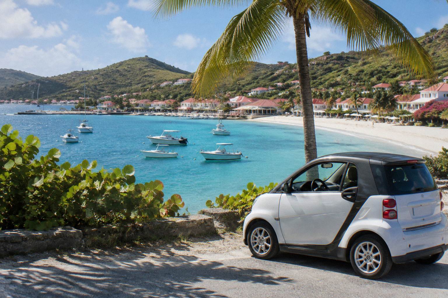
Corossol Village And Beach
Corossol is a quiet fishing village on the northwest coast of St Barts, with a public beach, a shell museum and a pace that feels far from Gustavia's harbour traffic.
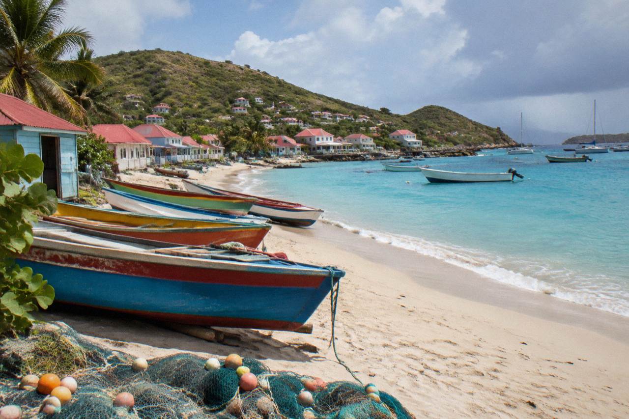
Corossol is a small village and public beach on St Barts' northwest coast, a short drive from Gustavia on the island's west side. The beach is public, and the village is known for its fishing heritage and shell museum.
Corossol sits on the northwest coast of St Barthelemy, the small French Caribbean island usually written St Barts, and it is one of the quietest named places on the map. Where Gustavia is the harbour capital and Saint-Jean holds the airport, Corossol is a fishing village of a few lanes, a public beach and a shell museum, all facing the water on the island's western side. This page covers what the village is, where the beach sits, how the visit fits into a day, and what the rules of the marine reserve mean for anyone combining Corossol with time on or near the water.
Where Is Corossol Village In St Barts?
Corossol is a village on the northwest coast of St Barts, on the island's western side facing the Caribbean Sea, a short drive north of Gustavia along the coastal road. The beach at Corossol is one of the named public beaches listed by the tourism committee, and the village sits between Gustavia to the south and the north-shore bays such as Colombier further up the coast. That drive is short.
The geography matters for planning. St Barts is about 21 square kilometres with roughly 10,700 residents, and Corossol occupies one of the closest village pockets to the capital. The road network is narrow, winding and hilly, with a 50 km/h limit island-wide and 30 km/h in populated places such as Gustavia and Saint-Jean, so moving between the west-coast villages is a matter of short hops rather than long drives. The tourism committee lists Corossol among the island's named beaches alongside Saint-Jean, Gouverneur, Saline, Shell Beach, Flamands, Colombier, Grand Cul-de-Sac, Lorient, Toiny and Marigot, all of them public.
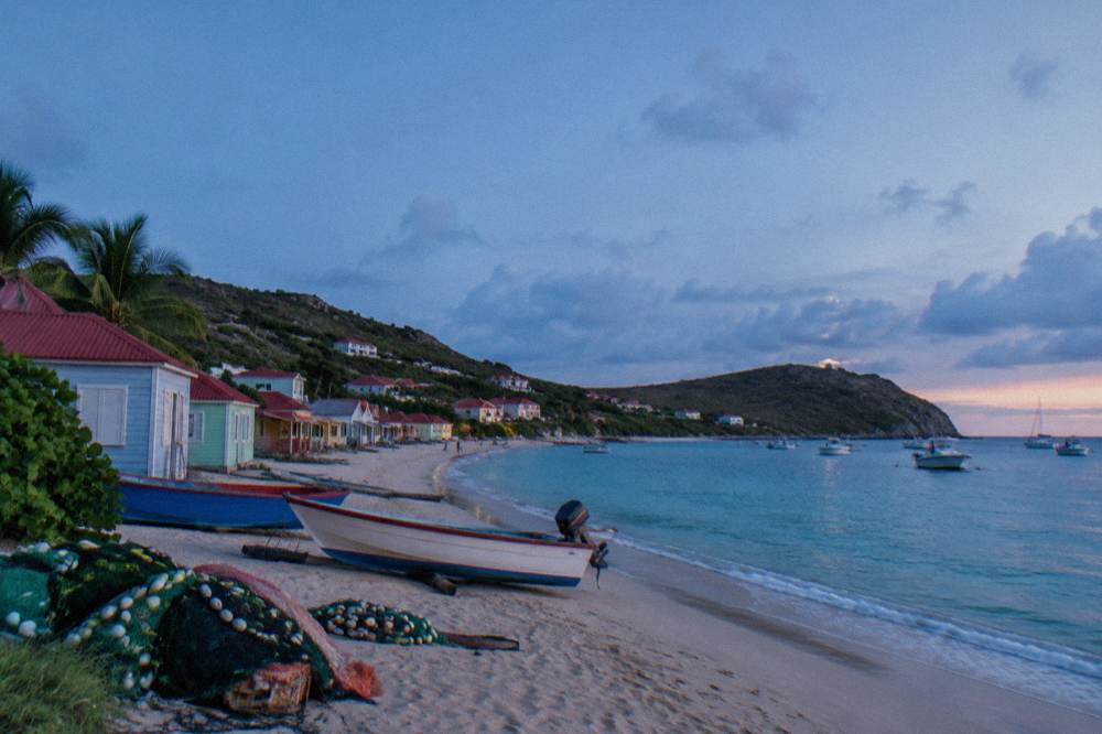
The village's identity on the map is tied to fishing. The waterfront holds small boats rather than the superyacht moorings of Gustavia, and the shell museum on the village's main lane is the attraction the destination is best known for. The wider west coast of the island is covered in the Corossol area guide, which places the village among its neighbours.
What Is There To See In Corossol Village On St Barts?
The three named points of interest in Corossol are the village waterfront itself, the public beach, and the shell museum. The village fronts a small bay on the northwest coast, the beach runs along the waterfront, and the shell museum sits on the village lane inland of the shore. Hours, ticket prices and building histories remain unknown.
The shell museum is the village's signature stop. It is covered in detail on the Corossol shell museum page, and the constraint on this destination is strict: the museum is named, located on the map and nothing more. The same applies to the village church and any other building. The only dated history for the whole island covers its status as an overseas collectivity since 2007, Hurricane Irma in September 2017, and the airport's name, so no founding dates or colonial stories appear anywhere on this site.
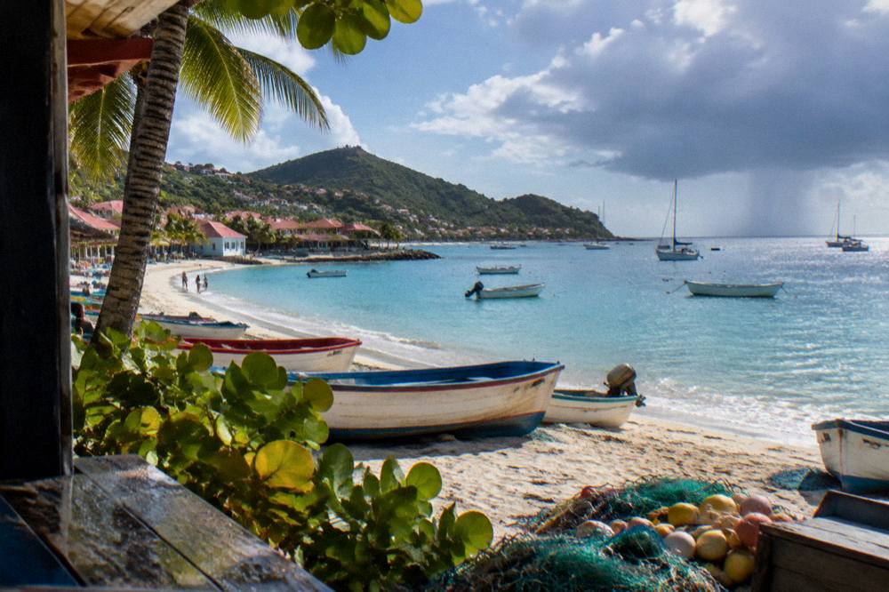
The waterfront is the second draw. Fishing boats work from the bay, and the village's scale is part of the point: a handful of lanes, houses set back from the shore, and a beach that belongs to the public like every other beach on the island. Visitors who want a fuller picture of how the settlements compare can read the overview of the nicest beach in St Barts, which sets Corossol against the better-known strands.
A practical note on combining the village with a boat day: every bookable tour listed here departs from St Martin or Sint Maarten, never from St Barts itself. That includes the featured Gustavia, Colombier and Ile Fourchue group sail, which circles the island's coast from a neighbouring island's dock. Corossol is a place to reach by road while staying on St Barts, not a tour departure point.
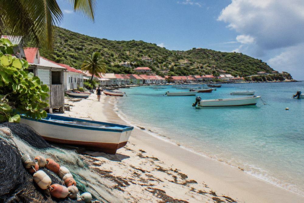
Is Corossol Beach In St Barts Good For Swimming?
Corossol beach is a public beach on St Barts' northwest coast, and this site prints no claim about its sand, waves, currents, lifeguards, facilities or suitability for children. Every beach on the island is public and free to access. The rules that do apply are the marine reserve's island-wide restrictions on dogs and on touching protected species.
That answer is deliberately narrow, and it is the honest one. The tourism committee's beach list confirms Corossol as a named public beach. The environment agency's beach page adds the rules that hold everywhere on the island: dogs are prohibited on all beaches, even on a leash, under a municipal order, and sea turtles, corals and other protected species must not be touched, chased or fed. Collecting shells, sand and rocks is banned in the reserve's zones.
| Rule or fact | What applies at Corossol | Source basis |
|---|---|---|
| Access | Public beach, free to access, like all St Barts beaches | Tourism committee beach list |
| Dogs | Prohibited on all beaches island-wide, even on a leash | Environment agency beach page |
| Turtles and corals | No touching, chasing or feeding protected species | Environment agency regulatory-zones page |
| Jet skis and seabobs | Banned in the marine reserve's zones | Environment agency regulatory-zones page |
| Speed on the water | 5-knot limit in the reserve's zones | Environment agency regulatory-zones page |
| Sand and shells | No collecting in the reserve's zones | Environment agency regulatory-zones page |
Swimmers comparing options along the same coast can look at Shell Beach near Gustavia and Flamands beach, both named public beaches on the island's western and northern shores. The site's beach guide by type gathers the comparison in one place, again without inventing unstated conditions.
How Does Corossol Compare With Other Beaches On St Barts?
Corossol is one of eleven named public beaches on St Barts, sitting on the northwest coast nearest to Gustavia, and its distinction is the village attached to it rather than its sand or water. The other named beaches cluster elsewhere: Saint-Jean and Lorient on the north shore, Flamands and Colombier on the northwest tip, Grand Cul-de-Sac and Toiny on the east, and Gouverneur and Saline on the south coast.
The table below lists every named beach with its map position, and nothing beyond what the name and map support.
| Beach | Position on the island | Character on the map |
|---|---|---|
| Corossol | Northwest coast, nearest village to Gustavia on that shore | Fishing village waterfront |
| Shell Beach (Grand Galet) | West coast, just south of Gustavia | Small cove by the capital |
| Flamands | North shore, west of Saint-Jean | Long bay on the north coast |
| Saint-Jean | North shore, beside the airport | Bay with the airport strip behind it |
| Lorient | North shore, east of Saint-Jean | Village bay on the north coast |
| Colombier | Northwest tip | Bay reached by boat or by a walk |
| Grand Cul-de-Sac | East coast | Sheltered bay on the east side |
| Toiny | Southeast coast | Bay on the windward shore |
| Gouverneur | South coast | Broad bay south of the island's spine |
| Saline | South coast, east of Gouverneur | Bay behind a coastal ridge |
| Marigot | Northeast coast | Small bay east of Grand Cul-de-Sac |
Colombier deserves its own note because it is the one beach on the list with a stated access pattern: it is reached by boat or by a walk, and no walk time or length is given. The walk is covered on the Colombier hike page, and the bay itself on the Colombier beach page.
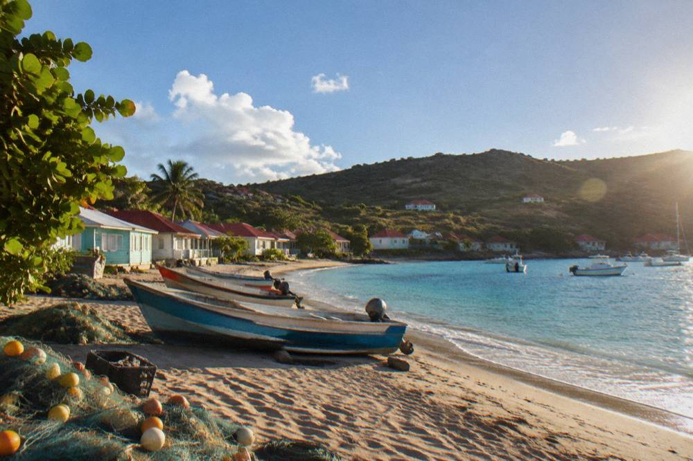
When Is The Best Time To Visit Corossol In St Barts?
The climate data points to December through April as the months with lower rainfall and comfortable temperatures, using the Meteo-France normals, 1991-2020: February averages 38.4 mm of rain against October's 135.6 mm, and mean daily highs run from 28.5 C in January to 31.7 C in September. Hurricane season runs 1 June to 30 November with its peak from mid-August to mid-October, and no storm, crowd or availability level is predicted here.
The island is warm in every month, which is the first thing the normals show. The second is the rain pattern: October is the wettest month at 135.6 mm, November follows at 118.6 mm, and February is the lowest at 38.4 mm, within a yearly total of 891.3 mm. The season structure follows from that. Everything else covered here is indexed on St Barthelemy Travel.
| Month | Mean daily high (C) | Mean daily low (C) | Rain (mm) |
|---|---|---|---|
| January | 28.5 | 23.5 | 52.6 |
| February | 28.6 | 23.3 | 38.4 |
| March | 29.0 | 23.5 | 41.4 |
| April | 29.8 | 24.2 | 50.9 |
| May | 30.7 | 25.1 | 61.7 |
| June | 31.2 | 25.9 | 56.0 |
| July | 31.2 | 26.0 | 80.4 |
| August | 31.6 | 26.3 | 79.6 |
| September | 31.7 | 26.2 | 96.9 |
| October | 31.4 | 25.8 | 135.6 |
| November | 29.9 | 25.0 | 118.6 |
| December | 28.9 | 24.1 | 79.2 |
Two seasonal patterns affect a Corossol visit beyond the weather. Many hotels and restaurants across St Barts close each autumn and reopen between mid-October and early November, which shapes what is open in the villages in September and early October. And the island's calendar leans on winter events: the Music Festival runs 8 to 18 January 2027, the Bucket Regatta is mid-March, and the Gourmet Festival runs 9 to 15 November 2026. The monthly guides, including St Barts in January and the wider season guide, track these in detail.
How Do You Get To Corossol Village In St Barts?
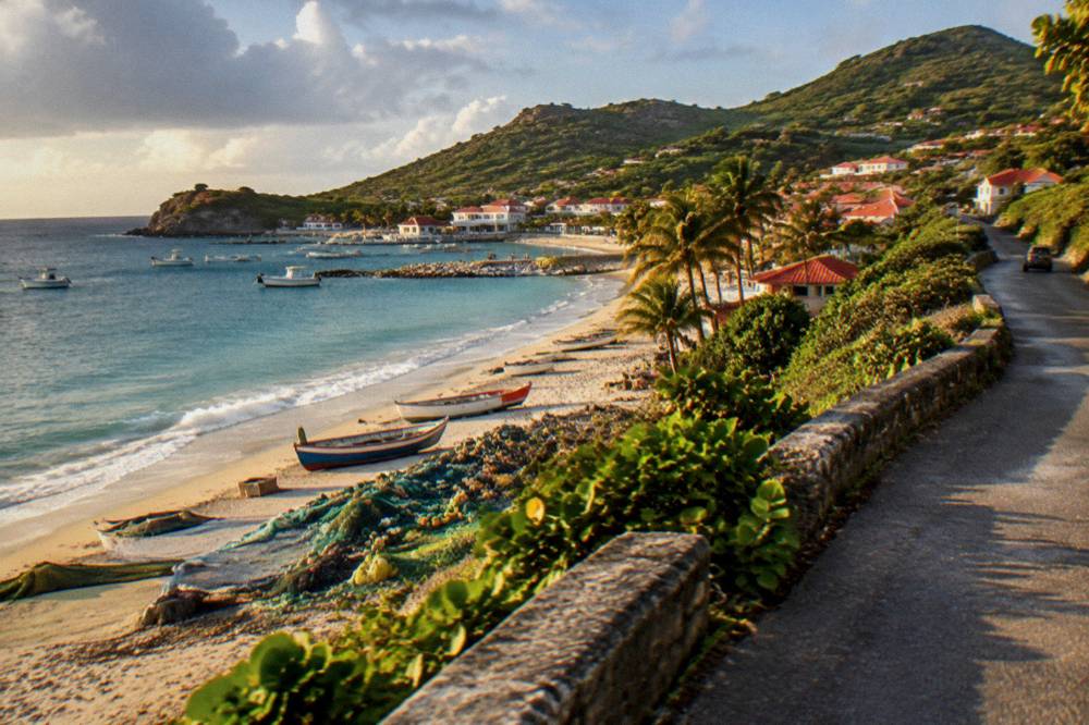
Corossol is reached by road from Gustavia along St Barts' northwest coastal road, on an island where driving is on the right, limits are 50 km/h island-wide and 30 km/h in populated places, and rental counters at Gustaf III Airport include Avis, Budget and Hertz alongside local agencies and Mini Moke specialists. No drive time is printed, and no rental price, minimum age or fuel figure appears.
Arrival on the island comes first. Travellers reach St Barts via St Martin, either by small plane from Princess Juliana Airport or the Grand Case airfield, or by ferry: Great Bay Express from Philipsburg, about 45 minutes, and Voyager from Marigot, about 50 to 60 minutes, with the operators' own pages carrying current schedules. The airport at St Barts is Gustaf III, also called Remy de Haenen, with a 646 m runway served only by small turboprops in daylight conditions. The full picture is on the how to get to St Barts guide.
| Item | Detail | Note |
|---|---|---|
| Fly to the region | St Martin (SXM) or Grand Case (SFG) | Gateway airports for the hop to St Barts |
| Hop to St Barts | St Barth Commuter from SXM, SFG and PTP; Tradewind from SJU and ANU; Winair Twin Otters | Small STOL aircraft only, daylight flying |
| Ferry to Gustavia | Great Bay Express from Philipsburg; Voyager from Marigot | About 45 minutes and about 50 to 60 minutes respectively |
| On the island | Rental car, Mini Moke or taxi | Counters at SBH include Avis, Budget and Hertz |
| To Corossol | Coastal road north from Gustavia | Narrow, winding, hilly roads; drive on the right |
Parking and driving rules matter everywhere on the island, not just in Corossol: the roads are steep in places, the one roundabout sits near the airport, and French right-of-way rules apply at unsigned intersections. The getting around guide and the rental car tips page carry the full detail.
What Can You Combine With A Corossol Visit On St Barts' Northwest Coast?
A Corossol visit pairs naturally with Shell Beach and the forts around Gustavia on the west coast, or with Flamands and the Colombier walk on the island's northern side, all reached by the same coastal road network. For a day on the water, the group sail from St Martin calls at Gustavia, Colombier and Ile Fourchue, three points on or near the same coastline, and departs from the neighbouring island rather than from St Barts.
On land, the cluster is compact. From Corossol, the road south reaches Gustavia with its harbour, shopping streets and the Wall House Museum, covered on the Gustavia harbour page. The road north climbs toward Colombier's trailhead on the northwest tip. A full plan is laid out in the St Barts itinerary and the beach hopping itinerary, which sequences the west-coast stops into one day.
On the water, the featured group sail is the one per-person product listed here, and it runs on its listing from 12 May to 31 August 2027. It visits Gustavia's harbour, Colombier Beach and Ile Fourchue in a single day from St Martin. For travellers who prefer their own boat, a private option is a different shape of day:
Where Should You Stay Near Corossol In St Barts?
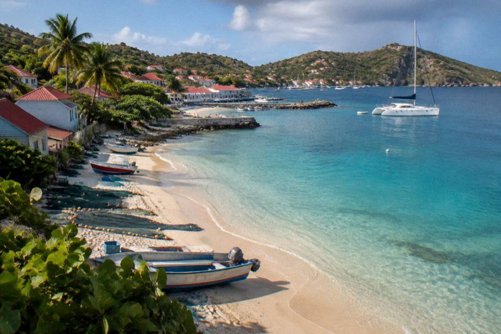
St Barts lodging divides between hotels and a large villa market, with WIMCO, Sibarth and St Barth Properties named as villa managers. Corossol itself is a small village pocket close to Gustavia, so stays on the west coast put the village within a short drive.
The honest summary of accommodation near Corossol is structural rather than promotional. The island's named hotel properties are covered on the St Barts hotels page and the beach hotels guide; villas are covered on the St Barts villas page. Autumn closures follow the island pattern, with many properties reopening between mid-October and early November for the season. Seasonal items are flagged with their own dates rather than presented as permanent facts.
| Item | Detail | Note |
|---|---|---|
| Hotels | Named properties across the island, no rates | St Barts hotels guide |
| Beach hotels | Named properties by beach, no rates | Beach hotels guide |
| Villas | Large villa market; managers WIMCO, Sibarth, St Barth Properties | St Barts villas guide |
| Autumn pattern | Many hotels reopen between mid-October and early November | Season guide |
What Does A Day In Corossol Look Like On A St Barts Trip?
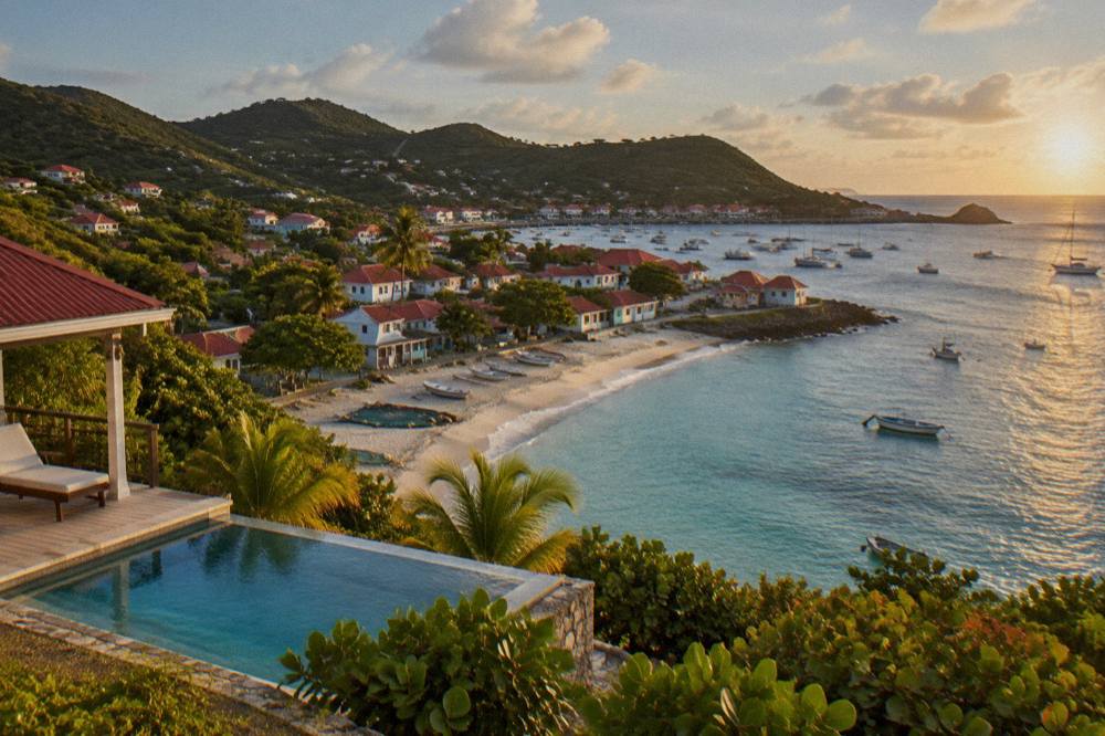
A day built around Corossol fits the village, its public beach and the shell museum into a slow morning, adds a walk or a drive along the northwest coast in the middle of the day, and ends in Gustavia or on the sand at Shell Beach, all within the island's short driving distances. The plan below uses only named places, with no hours, prices or walking times, and it slots into the site's wider itineraries for three or more days.
| Item | Detail | Note |
|---|---|---|
| Morning | Corossol village and waterfront | Named village on the northwest coast; public beach |
| Morning | Corossol shell museum | Named attraction; no hours or tickets printed |
| Midday | Northwest coast road toward Flamands | Named beach on the north shore; public access |
| Afternoon | Colombier walk or boat view | Reached by boat or by a walk; no length printed |
| Late day | Shell Beach (Grand Galet) by Gustavia | Named public cove on the west coast |
| Evening | Gustavia harbour | Capital and harbour town; shops and museums by name |
The sequence scales. A first-timer can fold it into the first timer itinerary, a couple into the honeymoon itinerary, and a family into the family itinerary. Travellers with only a stopover can use the layover itinerary to judge whether Corossol fits at all.
For a second day, the water calls. Two more options follow, both private and both departing from St Martin or Sint Maarten:
The private sailboat option is a quieter variant of the same idea:
Common Questions About Corossol Village And Beach In St Barts
Is Corossol beach in St Barts public?
Yes. The tourism committee lists Corossol among the island's named beaches, and every beach on St Barts is public and free to access.
Can you swim at Corossol beach?
The beach is public and swimming is not restricted, but this site prints no claim about its sand, waves, currents or facilities. Island-wide rules from the environment agency apply: no dogs on any beach, and no touching or feeding of protected species in the water.
What is the shell museum in Corossol?
It is a small museum on the village lane in Corossol, known for its shell displays. It is on the Corossol shell museum page, with no hours or ticket details printed.
How far is Corossol from Gustavia?
Corossol is the nearest named village to Gustavia on the northwest coast, connected by the coastal road. No drive time is printed for that exact journey.
Can you collect shells at Corossol?
No collecting of shells, sand, coral or rocks is allowed within the marine reserve's zones, under the environment agency's regulatory-zones rules. Looking is fine; taking is not.
Are there tours of Corossol village?
No walking tour of Corossol or any St Barts village exists, and no free or tip-based walk is offered on the island. The bookable trips listed here are boat day tours and charters departing from St Martin or Sint Maarten.
Corossol rewards the traveller who slows down: a public beach, a fishing waterfront, a shell museum and a coastal road that links the village to the rest of St Barts' western shore. Pair it with a boat day around the island's northwest bays and the west coast opens up completely, from Gustavia's harbour to Colombier's boat-only sand.