Corossol Area Guide
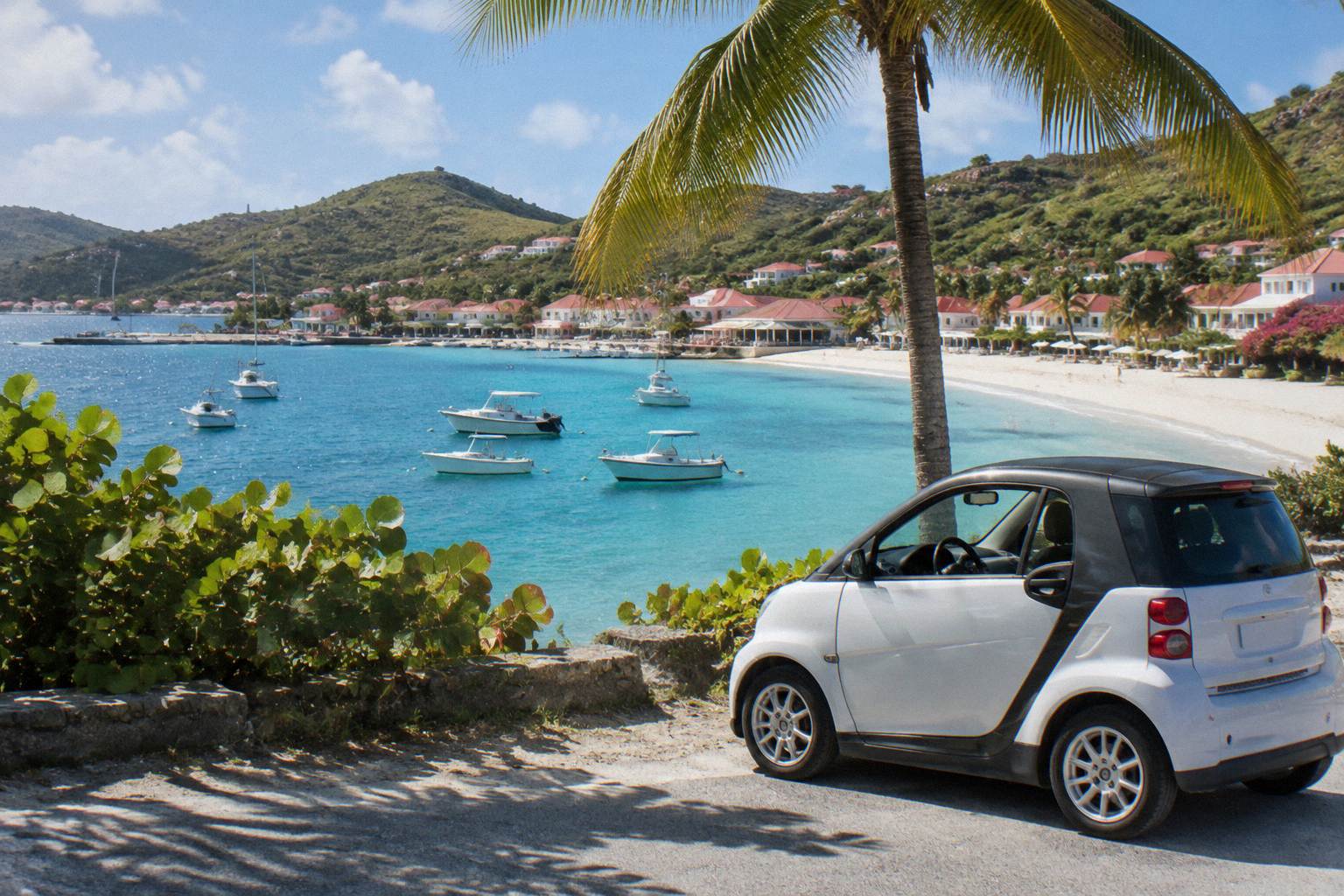
Corossol is a quiet village area on the sheltered western side of St Barthelemy, a short drive north of Gustavia, with a public beach, a shell museum and a pace that differs from the island's busier shores.
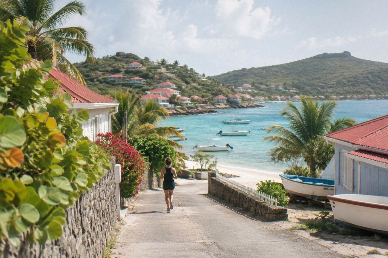
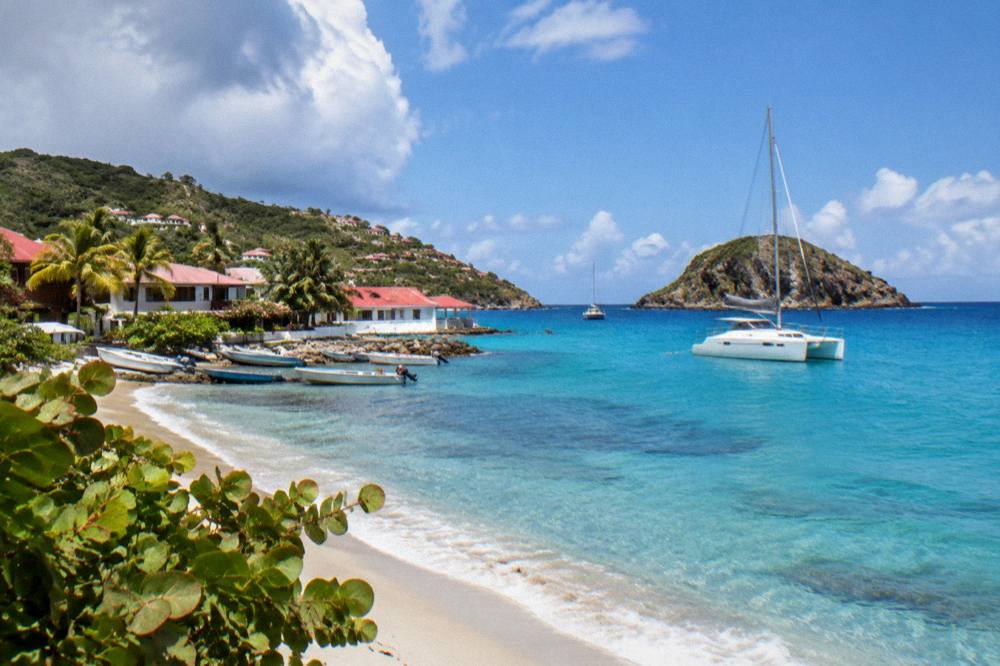
Corossol sits on St Barts' west coast just north of Gustavia, around a shallow bay with a public beach. The area covers the village itself, the Corossol beach and the hillside behind it, and it is reached by road from the capital.
Corossol is a small village area on the western coast of St Barthelemy, the French Caribbean island usually written St Barts, sitting around a shallow bay a short drive north of Gustavia, the capital. The tourism committee's beach list names Corossol among the island's public beaches, and the village gives its name to one of the island's distinct areas: a cluster of houses, a church, a shell museum and a waterfront that faces the evening sun. This guide covers where the area sits, what is in it, how it connects to the rest of the island and how a visit fits into a wider St Barts trip.
Where Is Corossol Village In St Barts?
Corossol village sits on the island's western, Caribbean-facing coast, just north of Gustavia, around a shallow bay that looks toward Sint Maarten on a clear day. The area covers the village itself, the public beach of the same name and the hillside inland of it, and it lies between the capital and the Lorient area on the island's ring road. All of St Barts spans only about 21 square kilometres, so Corossol is never far from anywhere on the island.
St Barts is an overseas collectivity of France since 2007, with Gustavia as its capital and harbour, the euro as currency and French as the official language alongside widely spoken English. Roughly 10,700 residents live on the island. Within that small scale, the areas each have a clear identity: Gustavia for the harbour and shopping, Saint-Jean for the airport and beach energy, and the quieter settlements spread along the coasts. Corossol belongs firmly to the quieter group, on the shore that faces away from the prevailing Atlantic swell.
The map position matters for planning. The island's single airport, Gustaf III (SBH) at Saint-Jean, lies on the opposite, northern side of the island, and the ferry terminal and cruise tenders arrive at Gustavia to the south. Both put a visitor a short drive from the village. For orientation, the site's St Barts neighborhoods map guide lays out every area and how they connect.
What Defines The Corossol Area Of St Barts?
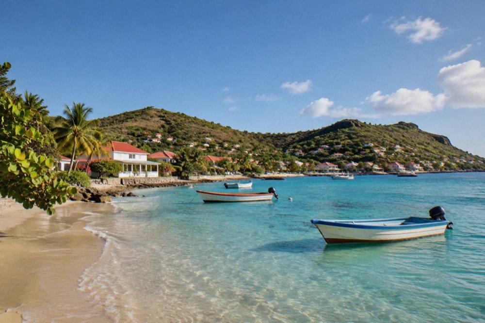
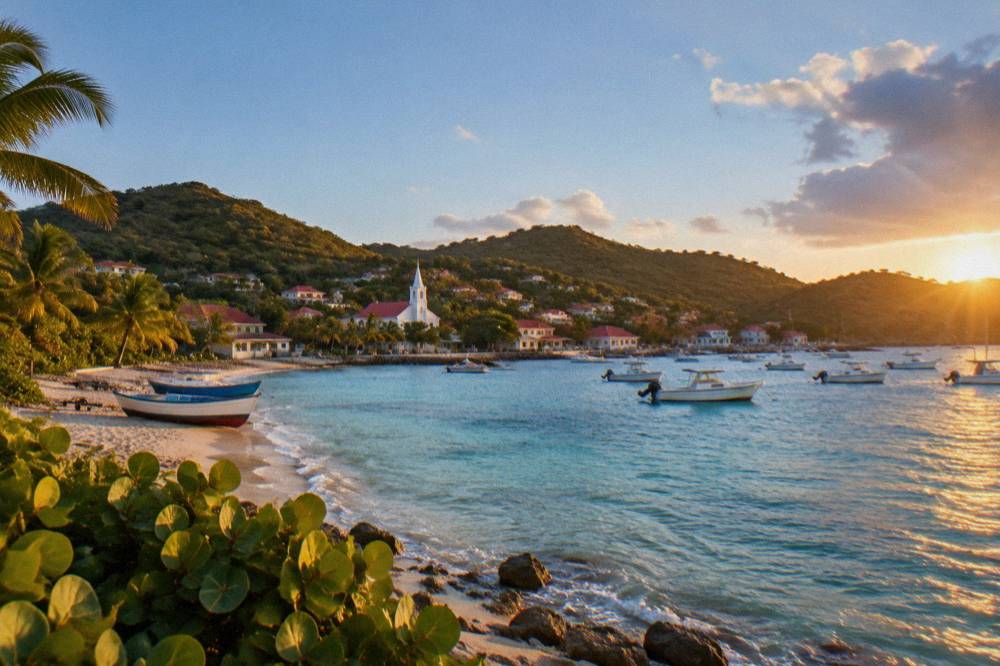
Corossol is defined by scale and orientation: a single village core beside a public beach, set on the island's sheltered west coast rather than its open Atlantic side. The area has no large hotel district, no airport and no cruise pier; those sit elsewhere. What it has is a compact waterfront, a church that anchors the village, a shell museum, and the evening light that a west-facing shore receives on an island whose sunsets are famous from its western shores.
The village is one of the places on St Barts where the island's fishing past remains visible in the boats and nets around the bay. Dated history for the island runs to France's overseas-collectivity status since 2007, Hurricane Irma in September 2017 and the airport's naming. So this guide describes Corossol by what a map and a visit show, not by founding dates or building stories.
The area's character also comes from what surrounds it. To the south, Gustavia carries the harbour, the shops and the restaurants. To the north and east, the Lorient and interior hill areas hold villas and quieter coves. The Lorient area guide covers the neighbouring stretch of coast, and for weighing the whole island, the best area to stay guide compares them side by side. The evening light the bay receives is covered in the site's guide to the island's best St Barts sunset spots.
The comparison below places Corossol against the island's other named areas using only what the map supports: position, coastline and the presence or absence of the island's few major facilities.
| Area | Coast / Position | Notable Map Features |
|---|---|---|
| Corossol | West coast, north of Gustavia | Village core, public beach, shell museum |
| Gustavia | Southwest harbour | Ferry terminal, cruise tenders, shops, forts |
| Saint-Jean | North coast | Gustaf III Airport (SBH), public beach |
| Lorient | North coast, east of Saint-Jean | Public beach, village settlement |
| Flamands | Northwest coast | Long public beach |
| Colombier | Northwest point | Public beach, reached by boat or a walk |
| Grand Cul-de-Sac | Northeast coast | Public beach, lagoon |
| Toiny | Southeast coast | Public beach, wild coast |
| Saline | South coast | Public beach behind dunes |
| Gouverneur | South coast | Public beach below the road |
What Can You See In And Around Corossol Village?
The area's sights are few and close together: the waterfront and its boats along the bay, the village church at the core, the shell museum the area is known for, and the hillside road that climbs inland toward the island's interior. Nothing in Corossol requires a ticket or a timetable, and the beaches and open public places are free to enter.
The shell museum is the area's one named attraction beyond the shore. It can be : no hours, ticket price or collection history is printed. The same rule holds for the church, which stands as the village's visual anchor and appears in nearly every view of Corossol from the water. The dedicated Corossol beach and village page describes the waterfront itself.
Above the village, the road climbs into the island's green interior. St Barts is an island of hills, and the drive out of Corossol toward the centre passes some of the steepest terrain on the map. The island's hiking network, covered in the St Barts hiking trails guide, includes routes on this western side of the island, including the path network around Colombier described in the Colombier area guide.
One dated local note belongs to the village calendar. The Saint-Louis feast day, honoured in Corossol on 25 August each year with processions and local food according to the tourism committee, follows the island's own patron-saint day on 24 August. It is the one event on the calendar that carries the village's name.
Prose between the blocks: the shell museum, the church and the waterfront sit within a few minutes of one another on foot, which makes Corossol one of the easiest areas to explore without a vehicle, though the hill roads beyond the village demand a car or a taxi. Visitors planning a fuller circuit often pair the village with a morning in Gustavia and an afternoon on one of the south-coast beaches.
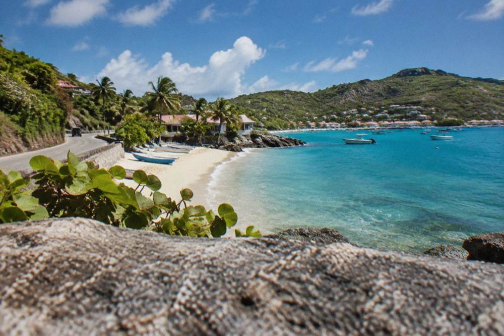
Which Beaches Sit Near Corossol In St Barts?
Corossol's own beach is public, like every beach on St Barts, and sits directly on the village bay; the nearest other named beaches are Flamands to the northwest and the Gustavia-area Shell Beach (Grand Galet) to the south. The island's full beach list also includes Saint-Jean, Gouverneur, Saline, Colombier, Grand Cul-de-Sac, Lorient, Toiny and Marigot. Sand, wave, current and lifeguard details are not provided for any of them, so only names and map positions are given.
The tourism committee's list names all these beaches as public and free to access. The environment agency adds one rule that applies across the island's shores: dogs are prohibited on beaches, and the marine reserve zones carry a 5-knot boat speed limit, a jet-ski ban and a strict no-touching rule for turtles. Green and hawksbill turtles appear around the island's waters, and the agency asks that nests and sightings be reported to it.
From Corossol, a beach day usually means driving. Flamands Beach lies on the island's northwest stretch, while Shell Beach is the closest sandy option to Gustavia and pairs naturally with a morning in the capital. Further afield, Saline Beach on the south coast sits behind dunes, and Colombier on the northwest point is reached by boat or on foot.
The marine reserve's rules matter most at the boat-accessed beaches. The environment agency's regulatory-zones page covers Colombier Bay and Ile Fourchue, where vessels over 25 m are banned and ecological mooring buoys are preferred. For a day on the water from St Martin that calls at Colombier, the Gustavia, Colombier and Ile Fourchue sail is the site's featured option. See the live listing
The table below lists every beach named by the tourism committee, with its coast, so the island's shore can be planned as a set.
| Beach | Coast | Reach From Corossol |
|---|---|---|
| Corossol | West, on the village bay | At the village |
| Flamands | Northwest | Short drive northwest |
| Shell Beach (Grand Galet) | West, by Gustavia | Short drive south |
| Saint-Jean | North | Drive via the airport side |
| Lorient | North | Drive east past Saint-Jean |
| Grand Cul-de-Sac | Northeast | Drive across the island |
| Toiny | Southeast | Drive across the island |
| Marigot | West, north of Corossol | Short drive north |
| Saline | South | Drive south over the interior |
| Gouverneur | South | Drive south over the interior |
| Colombier | Northwest point | Drive plus a walk, or by boat |
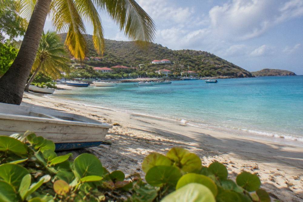
How Do You Get To Corossol And Around The Area?
Arriving visitors reach Corossol by road, whichever way they land: the airport sits at Saint-Jean on the north coast, the ferries dock at Gustavia to the south, and cruise passengers tender into Gustavia harbour, all a short drive from the village. On the island's roads, driving is on the right, speed limits run at 50 km/h island-wide and 30 km/h in built-up areas such as Gustavia and St Jean, and the roads are narrow, winding and steep.
There is no cruise pier on St Barts: ships anchor offshore and transfer passengers by tender to Gustavia, and the port's own pages confirm the arrangement. Scheduled ferries arrive from two directions: Great Bay Express from Philipsburg on the Dutch side, and Voyager from Marigot on the French side, both landing at Gustavia. From there the village is a short taxi or rental-car hop north along the coast road.
For driving, rental counters at the airport include Avis, Budget and Hertz, with local agencies and the island's open-air Mini Mokes also available. No rental price, minimum-driver-age figure or parking tariff is listed. The table below lists a few practical driving facts. For the full picture, the getting around St Barts guide and the car rental guide cover the details.
| Driving Fact In St Barts | Detail |
|---|---|
| Side of the road | Right |
| Island-wide speed limit | 50 km/h |
| Built-up area limit (Gustavia, St Jean) | 30 km/h |
| Road character | Narrow, winding, steep grades |
| Roundabouts | One, near the airport |
| Rental brands at SBH | Avis, Budget, Hertz, plus local agencies and Mini Mokes |
Taxis operate on route-based tariffs with surcharges in the evening and on Sundays, but no fare figure is available for any journey, including the run between Gustavia and the village, so none is quoted. The practical rule is simple: the island is small, the roads demand attention, and any journey is a matter of minutes rather than hours.
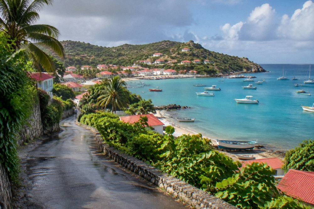
Where Does Corossol Rank For Stays In St Barts?
Corossol is a stay option for quiet and proximity to Gustavia rather than for beach resorts or nightlife, and the island's hotel names cluster in other areas: Eden Rock at Saint-Jean, Cheval Blanc at Flamands, Le Sereno and Le Guanahani at Grand Cul-de-Sac, Le Toiny at Toiny, Christopher at Pointe Milou and Le Barthélemy at Grand Cul-de-Sac. No hotel rate, villa price or minimum stay is printed.
The area's lodging picture is modest: no Corossol property appears in the hotel list, and the area's accommodation role is chiefly villas and small guesthouses, which the villa market supplies island-wide. Named villa managers are WIMCO, Sibarth and St Barth Properties, listed here as managers only, with no count and no ranking. The St Barts villas guide covers that market in depth.
Two seasonal patterns shape any stay anywhere on the island. First, many hotels and restaurants close each autumn and reopen in waves between mid-October and early November, so an autumn visit anywhere, Corossol included, meets a quieter island with fewer open tables. Second, high season runs through the northern-hemisphere winter, anchored by events such as the Bucket Regatta in mid-March and the Music Festival on 8 to 18 January 2027.
For comparing areas rather than properties, the island's main stay decisions break down as in the table below, using only what the map and the property locations support.
| Item | Detail | Note |
|---|---|---|
| Gustavia | Harbour town, shops and dining | Carl Gustaf (reported as Fouquet's Saint-Barth) |
| Saint-Jean | Airport side, beach energy | Eden Rock; Hotel Le Village St Jean |
| Flamands | Northwest beach area | Cheval Blanc Isle de France |
| Grand Cul-de-Sac | Northeast lagoon shore | Le Sereno; Le Barthélemy; Le Guanahani (becoming Airelles Le Guanahani on 1 November 2026) |
| Toiny | Southeast, wild coast | Le Toiny |
| Pointe Milou | Central-east headland | Christopher St Barth |
The Gustavia where to stay guide covers the capital's options, and St Barthelemy Travel carries the island-wide hotel and villa pages for each named property.
What Is The Weather Like In The Corossol Area?
Corossol shares the island's single climate: mean daily highs of 28.5 C in January rising to 31.7 C in September, with 891.3 mm of rain across the year and October the wettest month at 135.6 mm, all per the Meteo-France normals, 1991-2020, for the St Barthelemy station. The sea stays warm year-round, about 26 C in winter and about 29 C from August to October. The west-facing bay receives afternoon and evening sun.
The climate table below gives the full monthly picture from the site's Meteo-France normals. No sunshine-hour or humidity figure appears.
| Month | Mean Daily High C | Mean Daily Low C | Rain mm |
|---|---|---|---|
| Jan | 28.5 | 23.5 | 52.6 |
| Feb | 28.6 | 23.3 | 38.4 |
| Mar | 29.0 | 23.5 | 41.4 |
| Apr | 29.8 | 24.2 | 50.9 |
| May | 30.7 | 25.1 | 61.7 |
| Jun | 31.2 | 25.9 | 56.0 |
| Jul | 31.2 | 26.0 | 80.4 |
| Aug | 31.6 | 26.3 | 79.6 |
| Sep | 31.7 | 26.2 | 96.9 |
| Oct | 31.4 | 25.8 | 135.6 |
| Nov | 29.9 | 25.0 | 118.6 |
| Dec | 28.9 | 24.1 | 79.2 |
The hurricane season runs from 1 June to 30 November, with its peak from mid-August to mid-October and a climatological peak near 10 September. Hurricane Irma struck the island in September 2017 and remains the reference storm for the island.
The season guide at best time to go to St Barts unpacks the trade-offs month by month, including the autumn closure pattern that affects hotels and restaurants island-wide.
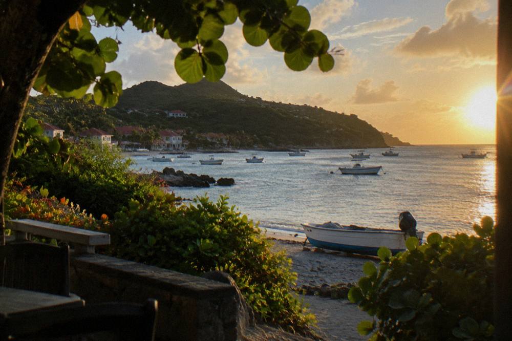
Can You Visit Corossol On A St Barts Day Trip?
Corossol appears on St Barts day trips as a drive-through village stop on island tours and as part of the view from the water, since every bookable boat tour listed here departs from St Martin or Sint Maarten and lands at Gustavia, from which the village is a short drive. There is no tour listed here that starts in Corossol or anywhere else on St Barts itself.
The crossing from St Martin is a real journey. Ferries run from Philipsburg and Marigot to Gustavia, a crossing that can be rough, and small STOL turboprops fly the hop into Gustaf III, whose 646 m runway admits no jets and operates in daylight and visual conditions only. A day-tripper arriving by either route reaches Corossol within minutes of landing by taxi or rental car.
The boat tours themselves concentrate on Gustavia harbour, Colombier Beach and Ile Fourchue. The trio below spans the main formats: a per-person day sail, a private charter for up to 8 and an overnight catamaran for up to 4.
Between the options, the differences are format and price structure, both rendered by the listings above rather than typed here. The per-person sail runs on scheduled dates on its listing; the private products are priced per group. For a fuller treatment of the crossing itself, the how to get to St Barts guide covers gateways, ferries and the small-plane carriers, and the St Barts to St Martin guide covers the corridor in reverse.
For travelers who want the island at mooring pace, the overnight format below spends two days and one night on a private catamaran.
Common Questions About The Corossol Area
Is Corossol beach public?
Yes. The tourism committee lists Corossol among the island's public beaches, and all beaches on St Barts are public and free to access. The environment agency's rules apply on all shores: no dogs on beaches, and no touching or disturbing of protected species such as sea turtles.
How far is Corossol from Gustavia?
Corossol sits on the west coast just north of Gustavia, a short drive along the coast road. On an island of about 21 square kilometres, every point is close by Caribbean standards.
What is there to see in Corossol village?
The village waterfront with its boats, the church at the village core and the shell museum are , with no hours or ticket details given. The Saint-Louis feast day on 25 August is the village's named annual observance, per the tourism committee.
Are there hotels in Corossol?
No Corossol property appears among the island's named hotels. The island's named hotels sit in Gustavia, Saint-Jean, Flamands, Grand Cul-de-Sac, Toiny and Pointe Milou, and villas and small guesthouses cover the quieter areas. No rate is printed for any property.
Can you walk from Corossol to other beaches?
The village bay holds Corossol beach itself. Other named beaches, such as Marigot to the north and Shell Beach near Gustavia to the south, are reached by road, and no walking time or trail detail is available for any coastal route from the village.
Do tours leave from Corossol?
No. Every bookable tour on this site departs from St Martin or Sint Maarten and visits St Barts, landing at Gustavia or anchoring offshore. Corossol is a village stop on island drives, not a tour departure point.
The Corossol area rewards a slow visit: a bay facing the evening sun, a museum of shells, a church above the water, and the island's capital a few minutes down the coast. Pair it with a morning in Gustavia, a beach on whichever coast the wind favors, and a boat day from St Martin, and the western side of St Barts shows the quiet character that sits beside the island's famous harbour.