Getting Around St Barts
St Barts is a small, hilly French Caribbean island where the practical question is not whether to move around but how: rental car, taxi, on foot in Gustavia, or by sea.
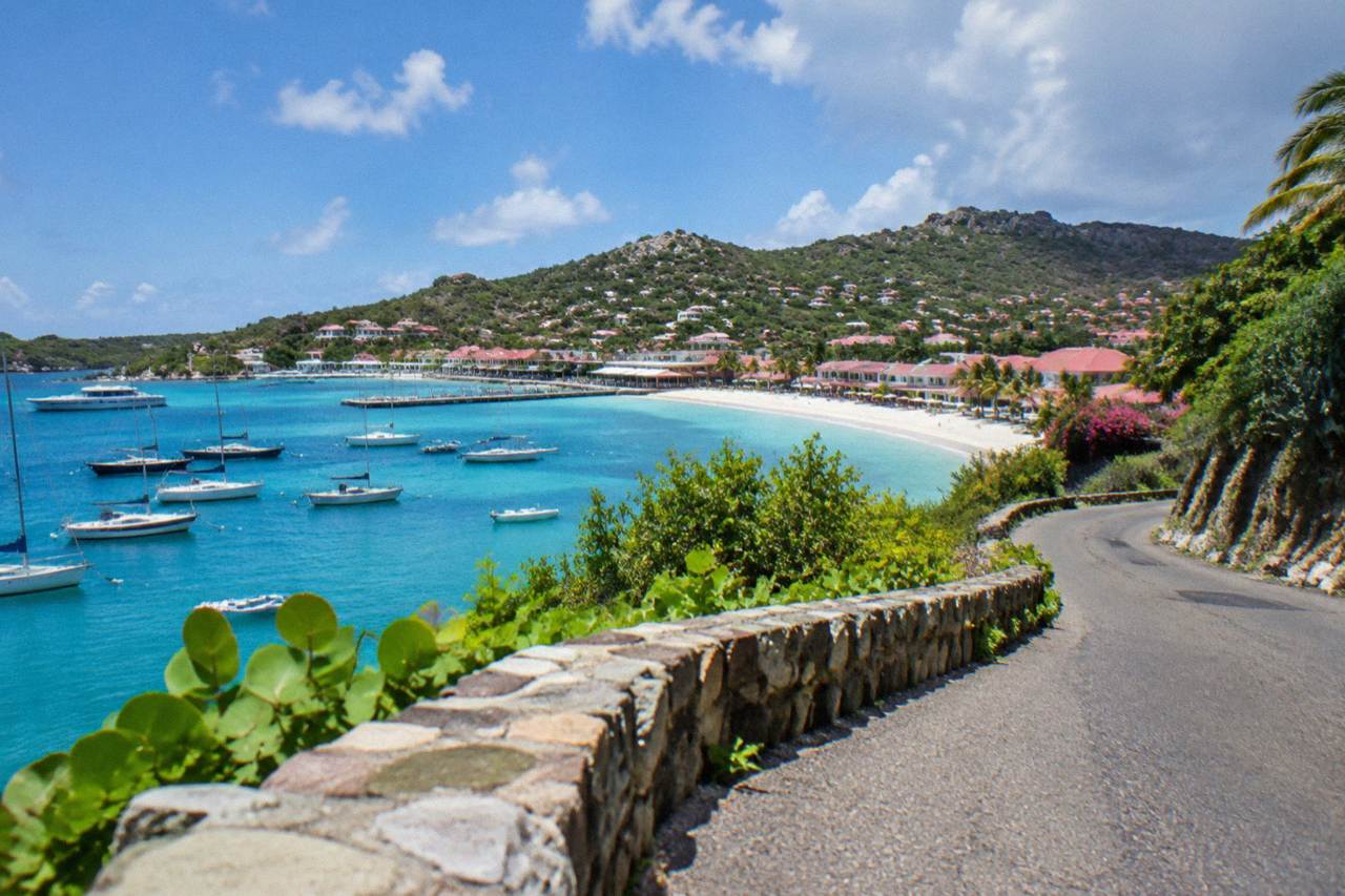
Renting a small car or a Mini Moke is the usual way to get around St Barts. Traffic drives on the right, roads are narrow and steep, Gustavia and Saint-Jean are compact enough to walk, and there is no public bus network. Access is through St Martin, then a small plane or the ferry.
St Barthelemy, written St Barts, is a French overseas collectivity in the Caribbean covering about 21 square kilometres, and on an island that size the question of how to get around resolves into a handful of clear options. There is one airport with a famously short runway, two ferry links from neighbouring St Martin and Sint Maarten, a road network that is narrow, steep and winding, and a harbour capital, Gustavia, whose centre is compact enough to cover on foot. This guide sets out what the operators, the rental companies and the environment agency actually publish about each of those, and where the honest answer is simply that a car is the practical choice.
Do You Need A Car To Get Around St Barts?
A car is the practical answer for seeing more of St Barts than Gustavia and one beach, because the island has no public bus network and its roads climb steeply between bays. Gustavia itself is compact and walkable, taxis exist, and many visitors stay put in one area, but the beaches, the villages and the viewpoints are spread across roughly 21 square kilometres of hills connected by winding roads.
That is the honest framing rather than a hard rule. The island's resident population is about 10,700 people, and the road network serves them as much as visitors: single-lane stretches, blind crests and descents that need low gear are all part of the picture described by villa-manager and rental guides to the island. There is no public bus service to fall back on, and no ride-hailing operation on the island, so the choice is effectively between a rental vehicle, taxis and your own feet.
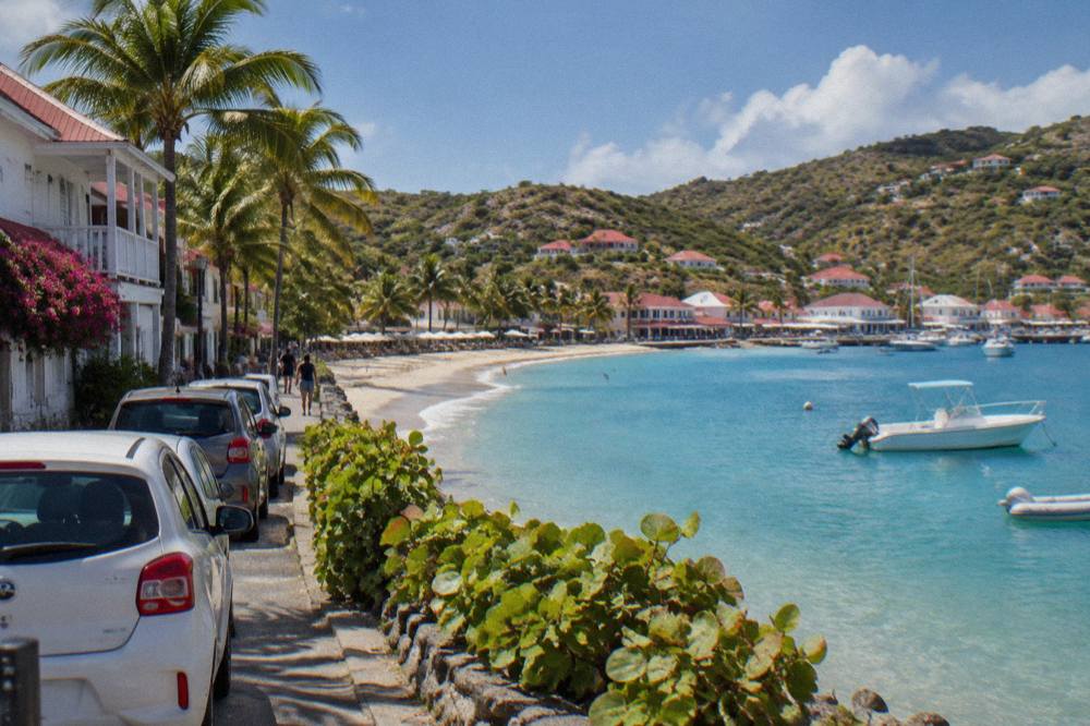
Feet go further than you might expect in the capital. Gustavia wraps around its harbour, and its shops, galleries and harbour front sit close together; the tourism committee's own materials present the town as a place to wander. The same is broadly true of Saint-Jean around its bay and of Lorient's small village core. What walking does not solve is the connection between areas, since each sits in its own bowl of hills.
For a first sense of how the pieces fit, this site's overview of things to do in St Barts groups the island's attractions by area, which is the fastest way to see why a vehicle earns its keep. If you are planning a short stay built around one beach and the harbour, a car can wait; if the plan is to move, read on.
| Way of moving | Where it works well | What to know |
|---|---|---|
| Rental car or Mini Moke | Whole island, multiple beaches a day | Counters at the airport include Avis, Budget and Hertz, plus local agencies |
| On foot | Gustavia centre, Saint-Jean bay, Lorient village | Hills between areas make walking a town option, not an island one |
| Boat | Colombier, Ile Fourchue, Gustavia by sea | Bookable day trips depart from St Martin or Sint Maarten, not from St Barts |
Is Renting A Car In St Barts Worth It?
Renting a small car or a Mini Moke is worth it for any stay that reaches beyond one area, because the island's beaches and villages are spread across hills with no bus service to connect them. The rental market is genuine and simple: Avis, Budget and Hertz all have counters at Gustaf III Airport, local agencies operate alongside them, and Mini Mokes are available through local specialists. Rates vary by season and by company.
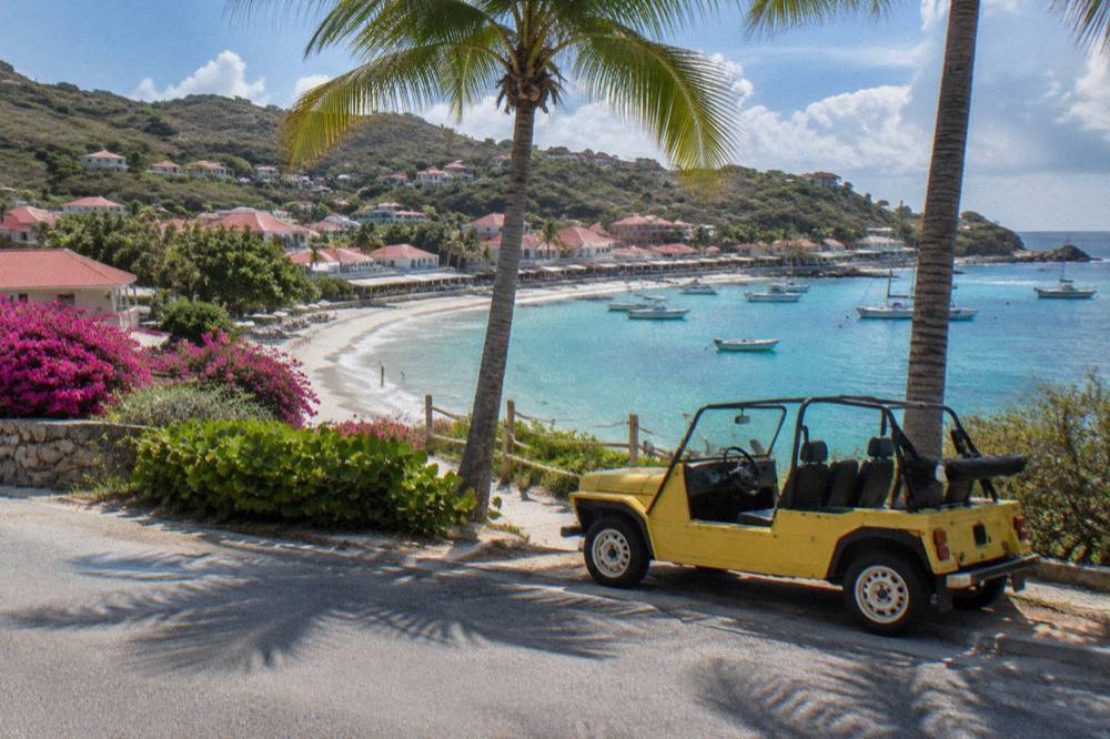
The choice of vehicle matters more here than on a flat island. Rental and villa-manager guides consistently recommend small, higher-clearance vehicles, because the roads reward short wheelbases on tight corners and modest width on single-lane stretches. Compact cars, small SUVs and the open-air Mini Moke dominate the fleet for exactly that reason. The Moke is the island's signature vehicle, open to the air and minimal on protection, which is a style statement and a practical trade-off in one.
Paperwork follows French overseas practice. Drivers present a valid licence from home, and an International Driving Permit is generally only needed where a licence does not use the Roman alphabet; companies typically ask for a credit card in the driver's name. The minimum driver age varies from company to company, so confirm it with the company you book. Many local agencies deliver vehicles to hotels and villas, which saves an airport counter stop.
Booking ahead is the standard advice for the December to April period, when the island's season is at its fullest. This site's detailed page on renting a car in St Barts goes deeper on vehicle types and pickup logistics, and the wider question of arrival logistics is covered in the guide to how to get to St Barts.
What Are Driving And The Roads Like In St Barts?
Traffic in St Barts drives on the right, under French traffic rules, on roads that are narrow, winding and steep with tight passing places and short blind crests. Reported speed limits are 50 km/h island-wide and 30 km/h in the built-up areas of Gustavia and Saint-Jean. There is one roundabout near the airport, few traffic lights, and French right-of-way rules apply at unsigned intersections.
None of that is a reason not to drive; it is a reason to drive calmly. The island's road signs are French, so a "rue sans issue" is a dead end and "défense de stationner" means no parking, and a modest pace matters more on St Barts than anywhere a visitor might have rented before. Descents into bays can be long enough to want a low gear, and local drivers are used to sharing narrow stretches with oncoming traffic, taking turns at the passing places.
The 30 km/h zones in Gustavia and Saint-Jean are where nearly all the pedestrian activity is, so they change the feel of driving as much as its legality. The roundabout by the airport, at the top of the Saint-Jean bay, is the island's one true roundabout and a useful landmark for orientation. Beyond those specifics, the golden rule the rental guides all repeat is simple: allow more time than a map suggests, park considerately, and take the hills at their own pace.
| Road rule or feature | Detail as reported |
|---|---|
| Side of the road | Right |
| Island-wide speed limit | 50 km/h, as reported by villa-manager guides |
| Built-up speed limit | 30 km/h in Gustavia and Saint-Jean |
| Roundabouts | One, near the airport |
| Right of way | French rules, including priority from the right at unsigned junctions |
| Signage | French signage throughout |
Parking deserves a word without any numbers attached: parking in Gustavia is described in local guides as limited in the high season, with street parking, public lots and timed blue-zone spaces using a parking disc. Arriving earlier in the day is the usual advice. Beyond the town, beach entrances generally have informal parking areas.
For anyone who would rather not drive at all, there is a waterborne alternative that covers some of the same ground with none of the gears: the group day sail that visits Gustavia, Colombier Beach and Ile Fourchue in one outing, departing from St Martin. See the operator's live listing.
Are There Taxis Or Public Transport In St Barts?
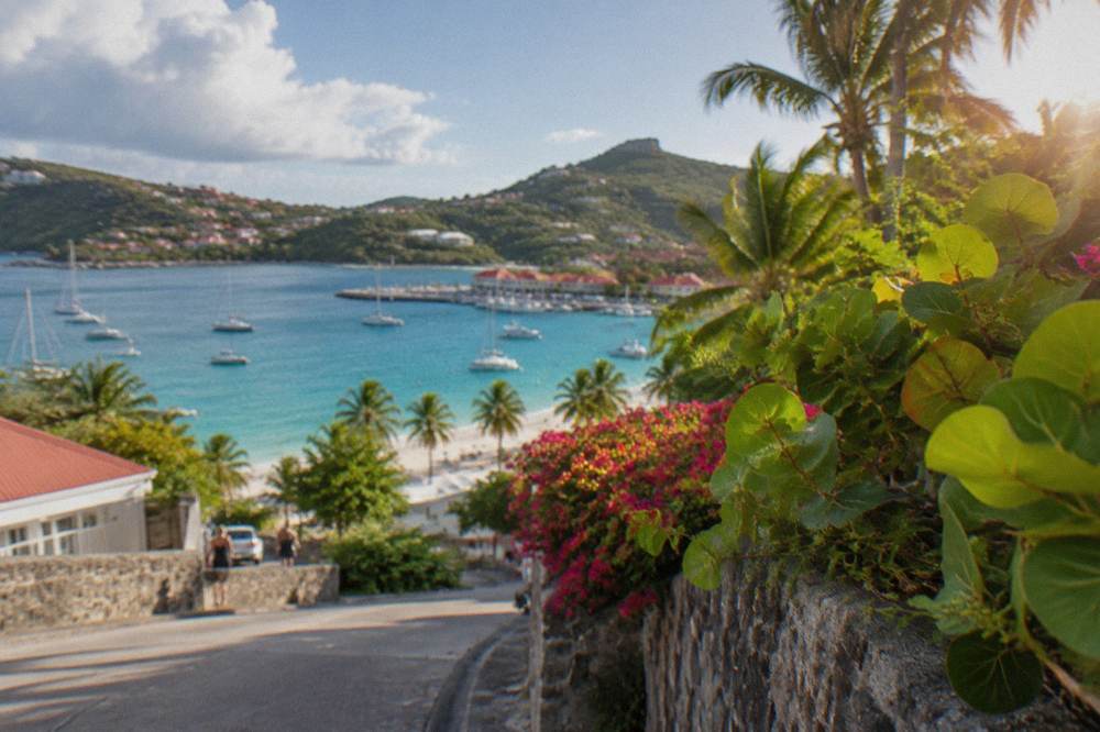
Taxis exist in St Barts, focused on the airport, the ferry terminal and evening runs, but there is no public bus network and no ride-hailing service on the island. Taxi fares follow route-based tariffs rather than meters, with surcharges reported for evening and weekend rides. For anything beyond a point-to-point ride, a rental vehicle remains the dependable option.
That makes taxis a useful tool rather than a system. They are strongest for the moments a car is not to hand: landing at SBH after a light-aircraft hop, stepping off the ferry in Gustavia, or an evening out that ends late. Confirm the price with the driver before setting off, since the tariff structure is local and route-based. The island's small size means any ride is short in distance even when the road between is steep.
Public transport, in the sense of scheduled buses, does not operate. No timetable, route or fare for a public bus is to be found, and guides to the island treat the absence as a defining feature: the island's transport economy is rental cars, taxis and boats. For a place with roughly 10,700 residents spread over about 21 square kilometres, that is a coherent arrangement, if an inconvenient one for a visitor without wheels.
The practical workaround is to plan days around single areas. A morning in Gustavia, an afternoon at Shell Beach, an evening in Saint-Jean can all be done on foot within their areas, with a taxi or your own car only for the hops between. This site's guide to the cruise port at Gustavia covers the tender-boat arrival and the walkable town from a day-visitor's angle.
How Do You Arrive In St Barts: Plane, Ferry Or Cruise Tender?
Visitors reach St Barts through St Martin, then either a short hop by small plane or a ferry crossing of about 45 minutes from Philipsburg or 50 to 60 minutes from Marigot. Gustaf III Airport at Saint-Jean has a 646 m runway that only small STOL turboprops can use, in daylight and visual conditions only; no jets land on the island, and cruise ships anchor offshore and tender passengers into Gustavia because there is no cruise pier.
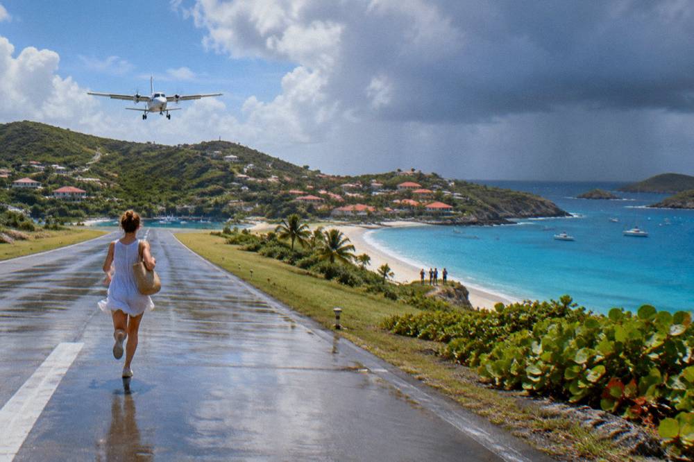
The airport shapes everything about air arrivals. Its single 646 m runway, set between a hill and a beach, means only specially certified pilots flying STOL-rated turboprops land there, and only in daylight under visual conditions. St Barth Commuter flies to SBH from St Martin (SXM), Grand Case (SFG) and Pointe-a-Pitre in Guadeloupe (PTP); Tradewind flies from San Juan (SJU) and Antigua (ANU). A traveller arriving on a wide-body jet therefore connects through one of those gateways first, and the airport guide and the page on landing at St Barts airport cover the experience in detail.
The sea options are two scheduled ferry operators, both "about" figures from the operators themselves. Great Bay Express runs from Bobby's Marina in Philipsburg on the Dutch side, Sint Maarten, with a crossing of about 45 minutes; check-in is typically 45 to 60 minutes before departure and closes shortly before sailing, and a passport is required. Voyager runs from the Marigot Ferry Terminal on the French side, St Martin, with a crossing of about 50 to 60 minutes. The crossing can be rough and sailings are weather-dependent, so never plan a same-hour connection. The site's page on ferry operators and schedules and the connection guide from SXM airport to the St Barts ferry go deeper.
| Arrival route | Operator or mode | Gateway | Notes from the operators |
|---|---|---|---|
| Air | St Barth Commuter | SXM, SFG, PTP | Small STOL aircraft, daylight, visual conditions only |
| Air | Tradewind | SJU, ANU | Small turboprops to SBH |
| Ferry | Great Bay Express | Philipsburg, Sint Maarten | About 45 minutes, passport required, check-in closes before departure |
| Ferry | Voyager | Marigot, St Martin | About 50 to 60 minutes, weather-dependent |
| Sea | Cruise tender | Anchored offshore | Ships tender to Gustavia; there is no cruise pier |
Once on the island, the arrival point matters less than you would think: the airport sits at the top of Saint-Jean bay and the ferry terminal sits in Gustavia harbour, and both connect straight into the road network described above. From either, the same small set of modes takes over: your rental, a taxi, or feet. More of these guides are collected on St Barthelemy Travel.
Can You Get Around St Barts By Boat Instead Of By Road?
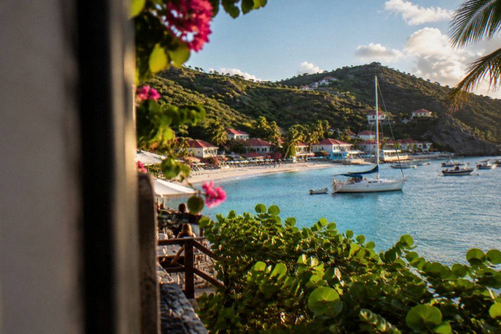
Yes, for part of the island: the sea is a real transport option in St Barts, especially for Colombier Beach and Ile Fourchue, which sit on the island's wild northwest side and are classic arrivals by water. Every bookable boat trip listed here departs from St Martin or Sint Maarten rather than from St Barts itself, and within the marine reserve a 5-knot speed limit applies in protected zones, jet skis are banned, and dogs are not allowed on the beaches.
Colombier can also be reached on foot along its coastal path, which this site covers in its Colombier hike page, but the boat arrival is the usual way in, and the group sail that links Gustavia harbour, Colombier and Ile Fourchue in a single day is the flagship example. It runs per person and, on its current listing, operates from 12 May to 31 August 2027, a seasonal window worth checking before building an itinerary around it. The rest of the trip list is made up of private charters priced per group, all departing from the St Martin or Sint Maarten side.
The reserve rules are not fine print; they shape the trip. The environment agency's regulatory-zones page lists a maximum of 5 knots in its zones, a ban on jet skis, seabobs and towed motorised sports, no touching or chasing of protected species including turtles, no collecting of shells or coral, and no dogs on beaches or in the water within the reserve. Vessels over 25 m are excluded from Colombier and Fourchue bays, and ecological mooring buoys are preferred to anchoring. A visitor who understands those rules understands why the bays feel as they do.
| Reserve rule | What the environment agency's page lists |
|---|---|
| Speed | Maximum 5 knots in protected zones |
| Motorised sports | Jet skis, seabobs, electric surfboards and towed sports banned |
| Wildlife | No touching, chasing or feeding turtles, corals, rays or sharks |
| Collecting | No coral, shells, plants, sand or rocks |
| Dogs | Not allowed on beaches or in the water in reserve areas |
| Large vessels | None over 25 m in Colombier and Fourchue bays |
For a longer water-based plan, an overnight catamaran from St Martin gives the island two days and a night without any road time at all, and private day charters can be built around Gustavia and the northwest bays. Those options, and the group sail, are collected below.
Can You Walk Or Cycle Around St Barts?
Walking works well within St Barts' towns and along its coastal paths, and cycling suits confident riders on selected roads, but neither replaces a vehicle for crossing the island, because the roads between areas are steep, narrow and shared with cars. Gustavia's centre is compact, the Colombier path is a genuine hike, and the beaches and open public places are free to enter, but there is no walking tour product listed here and no cycling route or rental network.
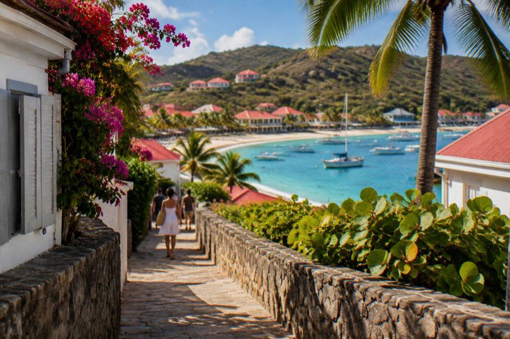
The foot options are real and pleasant. Gustavia rewards wandering, and the island's Swedish-era forts and museums, including Wall House and the fort sites above the harbour, sit within an easy stroll of the quay. The Colombier coastal path is the island's signature walk, covered in its own page on this site, and the wider guide to hiking trails in St Barts collects the rest. What walking is not, on this island, is transport: the hills between bays are steep enough that a round-island walk becomes a multi-day project.
Cycling exists in the same qualified way. Local scooter and bicycle rental is mentioned in villa-manager guides, but the guides give no route network, rental price or operator detail, so treat two wheels as a fair-weather option for a single area rather than an island system. The roads' gradients and the absence of shoulders are the honest constraints.
Two more trip ideas sit between foot and boat. This site's guide to a sunrise to sunset day in St Barts strings the island together by area, and the classic three-day St Barts itinerary shows how little driving a well-planned short stay can need once you anchor each day in one part of the island.
What Should You Know Before Driving In St Barts As A First-Timer?
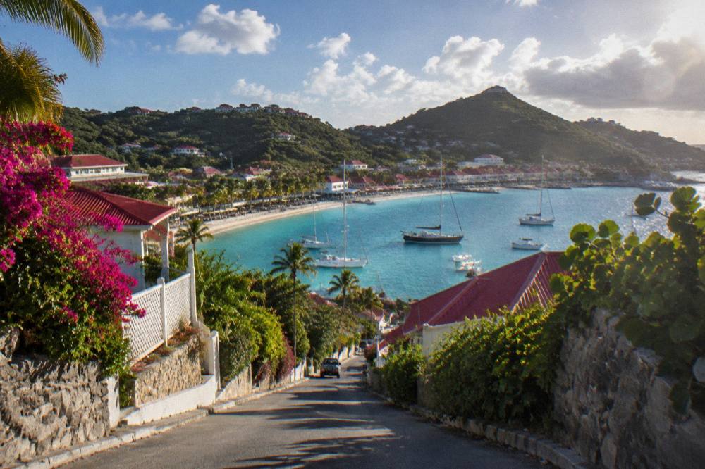
Take the first hour slowly, book a small automatic, and expect the island's rhythm rather than a mainland one: drive on the right, hold to the reported 50 km/h limit and 30 km/h in Gustavia and Saint-Jean, use the passing places on single-lane stretches, and park with consideration. Insurance, delivery to your hotel, and a walk-around inspection at pickup are the practical details the rental guides consistently emphasize.
A few specifics earn their place in any first-timer's planning. Confirm at pickup whether the vehicle is automatic, since manuals exist in the fleet but automatics dominate. Photograph the car at handover, which protects you on an island where stone walls and vegetation sit close to the roadway. Ask about delivery and collection if you are staying in a villa, since many local agencies offer it. And keep the airport's daylight-only operation in mind on departure day, because the same rule that shapes arrivals shapes the flight schedule you will be driving back to.
Fuel is unremarkable in the best way: the island has fuel stations, and the rental desks point arrivals to the nearest one for the return. The one thing no guide can schedule for you is the island's weather in the September to November stretch, when the Atlantic hurricane season, running 1 June to 30 November with its peak from mid-August to mid-October, can bring rain to the wettest months of the year; the Meteo-France normals, 1991-2020, put October at 135.6 mm of rain, the highest month, against February's 38.4 mm. Rain on steep roads is a slow-down matter, not a stay-off-the-road matter.
For the seasonal picture in full, including the November reopening wave that follows the autumn closures, see the site's guide to the best time to go to St Barts.
| First-timer checklist | Why it matters |
|---|---|
| Book a small automatic | Narrow roads and steep grades suit short, simple vehicles |
| Inspect and photograph at pickup | Walls and vegetation sit close to the roadway |
| Learn the two limits | 50 km/h reported island-wide, 30 km/h in Gustavia and Saint-Jean |
| Use passing places | Single-lane stretches are normal, not a fault |
| Mind the French signs | A parking disc may be needed in timed blue-zone spaces |
| Plan departure around daylight | SBH operates in daylight and visual conditions only |
Common Questions About Getting Around St Barts
Is it hard to drive in St Barts?
The roads are narrow, winding and steep, traffic drives on the right, and the reported limits are 50 km/h island-wide and 30 km/h in Gustavia and Saint-Jean. It is demanding but manageable at a calm pace in a small vehicle, with passing places used to share single-lane stretches.
Can you get around St Barts without a car?
Partly. Gustavia's centre is compact and walkable, taxis serve the airport, the ferry terminal and point-to-point rides, and some visitors base themselves in one area. There is no public bus network, so a rental car or Mini Moke remains the dependable way to reach beaches and villages across the island.
Are there Ubers or buses in St Barts?
There is no ride-hailing service or public bus network on the island. Transport is rental cars and Mokes, taxis, and boats, with the sea handling some of the distance to places like Colombier and Ile Fourchue.
How do you get to St Barts in the first place?
Getting to the island means flying to St Martin (SXM), San Juan (SJU), Guadeloupe (PTP) or Antigua (ANU) and connecting with a small STOL turboprop into Gustaf III Airport, whose 646 m runway takes no jets, or taking the ferry: about 45 minutes from Philipsburg with Great Bay Express or about 50 to 60 minutes from Marigot with Voyager.
Do cruise passengers dock in St Barts?
No. Cruise ships anchor offshore and tender passengers into Gustavia harbour, because the island has no cruise pier. The town centre sits close to the tender point, which makes a walkable day straightforward.
Can you visit Colombier without a car?
Yes. Colombier Beach is reachable on foot along its coastal path, described in this site's Colombier hike page, or by boat, and the group day sail from St Martin includes it alongside Gustavia and Ile Fourchue. The road network does not reach the beach directly.
Getting around St Barts is a solved problem with a short list of answers: a small rental vehicle for the island, feet for Gustavia, a taxi for the airport run, a ferry or a ten-seat turboprop for the arrival, and a boat for the bays the roads never reached. Choose the two or three that match your stay, book the car ahead for the December to April season, and the island's geography stops being an obstacle and becomes the point.