Shell Beach (Grand Galet), Gustavia
Shell Beach, also called Grand Galet, is the public beach closest to Gustavia, the harbour capital of St Barthelemy. This guide covers where it is, what the name means, the marine reserve rules that apply on and off its shore, and the boat day trips from St Martin that pass along the same coast.
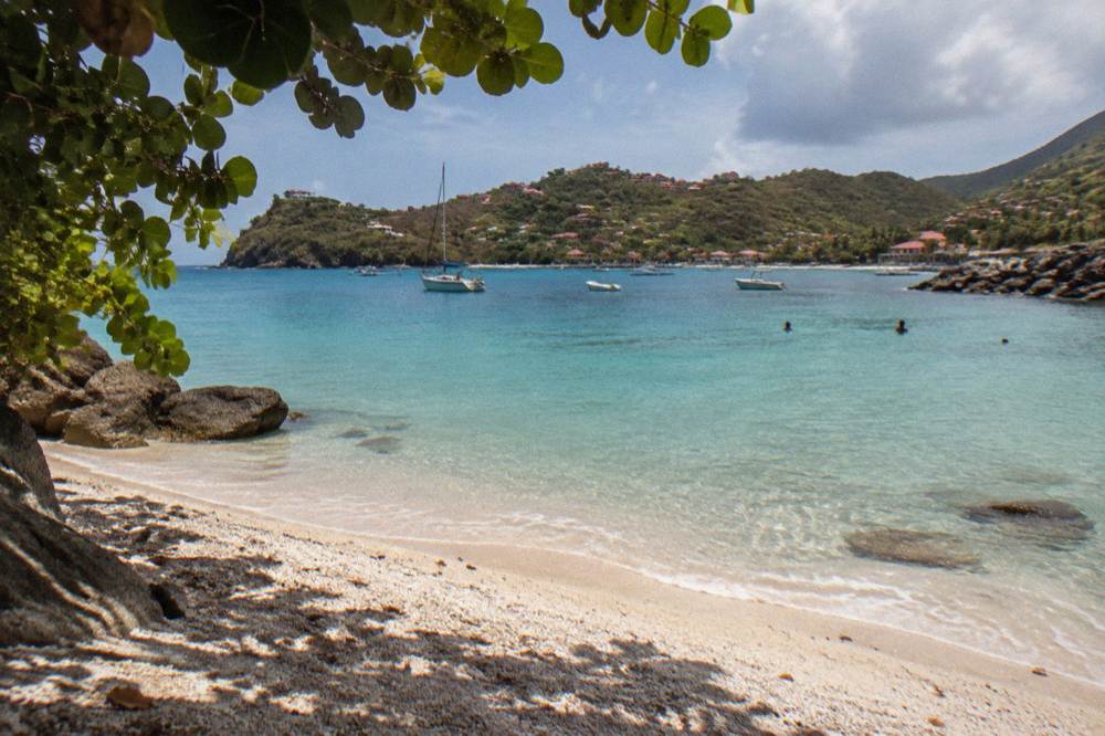
Shell Beach (Grand Galet) is a small public beach on the south side of Gustavia, St Barts, about a five-minute downhill walk from the harbourfront. Its shore is made up of broken shells rather than soft sand, it sits inside the island's marine reserve rules, and boats from St Martin pass it on arrival in Gustavia.
St Barthelemy, usually written St Barts, is a small French island in the Caribbean, and Shell Beach is the public beach that sits closest to its harbour capital, Gustavia. The beach carries two names: Shell Beach in English, and Anse de Grand Galet, often shortened to Grand Galet, in French. It lies on the southern edge of Gustavia below the low headlands that separate the town from the open Caribbean side of the island, and its shore is defined by one thing above all: broken shells, washed and piled by the sea over years, in place of the fine sand found on several other beaches around St Barts. All beaches on the island are public, and this one is no exception.
This page from St Barthelemy Travel covers the beach: its position, its two names, the marine reserve rules that apply in its waters, how it fits into a day in Gustavia, and the boat trips from St Martin that pass along the same stretch of coast. Where a common guidebook detail is not in a primary source, it is left out rather than guessed at.
Where Is Shell Beach In St Barts?
Shell Beach sits on the southern side of Gustavia, the capital and harbour town of St Barts, below the rocky ground between the harbour and the open sea. It is the public beach closest to the town centre, reached on foot from the harbourfront by a short downhill lane, and it faces the exposed Caribbean side of the island rather than the sheltered harbour basin. Its French name, Anse de Grand Galet, marks it on most maps of the island, and both names refer to the same single stretch of shore. The tourism committee lists Shell Beach among the island's named public beaches, all of which are free to access.
The position matters for planning. Gustavia wraps around its harbour, where ferries from St Martin dock and cruise ship tenders come ashore, and the town is compact enough that its attractions sit within a short walk of one another. Shell Beach is on the quiet southern edge of that walkable core, below Gustavia harbour and within reach of the town's two historic forts on the headlands above. Anyone staying in Gustavia can reach the beach without a car, which is not true of beaches on the far side of the island such as Colombier or Toiny.
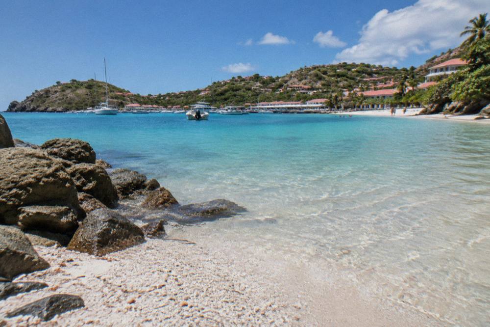
The beach is small, it is public, and it sits by Gustavia. No claim about sand width, wave height, currents, lifeguards, toilets or parking belongs in an honest description of it, because no primary source verifies any of those details for this specific beach. What can be said is structural: the shore is formed largely of shell fragments, the water in front of it lies within the island's marine reserve framework, and the walk down from town is part of the visit.
The other named public beaches of St Barts, for orientation, are listed below. Every one of them is public and free to access, per the tourism committee's own listing.
| Beach | Position on the island |
|---|---|
| Saint-Jean | North coast, by the airport |
| Gouverneur | South coast, east of Gustavia |
| Saline | South coast, east of Gouverneur |
| Shell Beach (Grand Galet) | South edge of Gustavia |
| Flamands | North-west coast |
| Colombier | North-west tip, reached by boat or on foot |
| Grand Cul-de-Sac | East coast |
| Lorient | North coast, east of Saint-Jean |
| Toiny | South-east coast |
| Marigot | East coast |
| Corossol | West coast, north of Gustavia |
Why Is It Called Shell Beach And What Does Grand Galet Mean?
Shell Beach takes its English name from the broken shells that make up much of its shore, deposited over time by the sea on this small bay beside Gustavia. Its French name, Anse de Grand Galet, refers to the same place, and the two names are used interchangeably on the island: the tourism committee lists both, and maps of St Barts mark the bay as Grand Galet. The shells are the beach's defining feature and the reason it stands apart from the sandier bays elsewhere on the island.
The name is not just trivia for a quiz. It sets expectations correctly. A visitor picturing a wide, soft, sandy bay will find something different here: a shore built from shell fragments, which underfoot behaves like shell fragment shores everywhere. Beach shoes are a matter of personal comfort rather than an official recommendation, and this page prints no rule about them. What the shells do support, in general terms, is the beach's reputation among shell hunters, since new material continues to arrive with the swell. Collecting live shells, corals and similar is another matter entirely, and the marine reserve rules covered below restrict it.
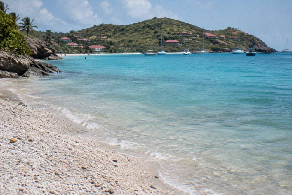
Grand Galet is one of the few St Barts beaches whose identity is inseparable from a town. Colombier belongs to its bay, Saline to its dunes, but Shell Beach belongs to Gustavia in the practical sense that a visit to one is naturally a visit to the other. A morning in the harbour town, a look at the Swedish-era forts above Gustavia, and a walk down to the shell shore form a single loop on foot, no car needed. The island's car-free options are limited, which makes this corner unusually convenient.
For anyone comparing beaches before a trip, the honest framing is that St Barts has a range of public shores with very different characters, and this site keeps a beach guide organised by what each is known for. Shell Beach's entry in that conversation is its shells and its position beside the capital, not a claim that it is the best beach on the island.
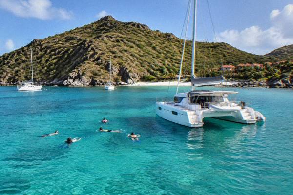
Boat day trips from St Martin are one way to see this coast from the water, and the group sail that anchors this site's St Barts coverage rounds Gustavia and stops at Colombier and Ile Fourchue on its route.
Can You Swim At Shell Beach In St Barts?
Yes, swimming is possible at Shell Beach, and the bay is used for swimming by people staying in and around Gustavia; the water is clear and the beach is public, so access is free and unrestricted. Swimmers should judge the bay's currents, its surf, and whether it is safe for children on the day and follow any local signage at the entrance. The site's dedicated answer page, can you swim at Shell Beach in St Barts, covers the question directly.
Two honest cautions apply to any swimming on this coast. First, the shore is shell and rock rather than sand, which shapes how people enter the water. Second, the sea state on the exposed Caribbean side of St Barts varies with the swell, and conditions can differ from the sheltered water inside the marine reserve's other bays. Neither point is a barrier; both are reasons to look at the water before committing to a long swim, as on any beach without a lifeguard service the island's official pages do not document.
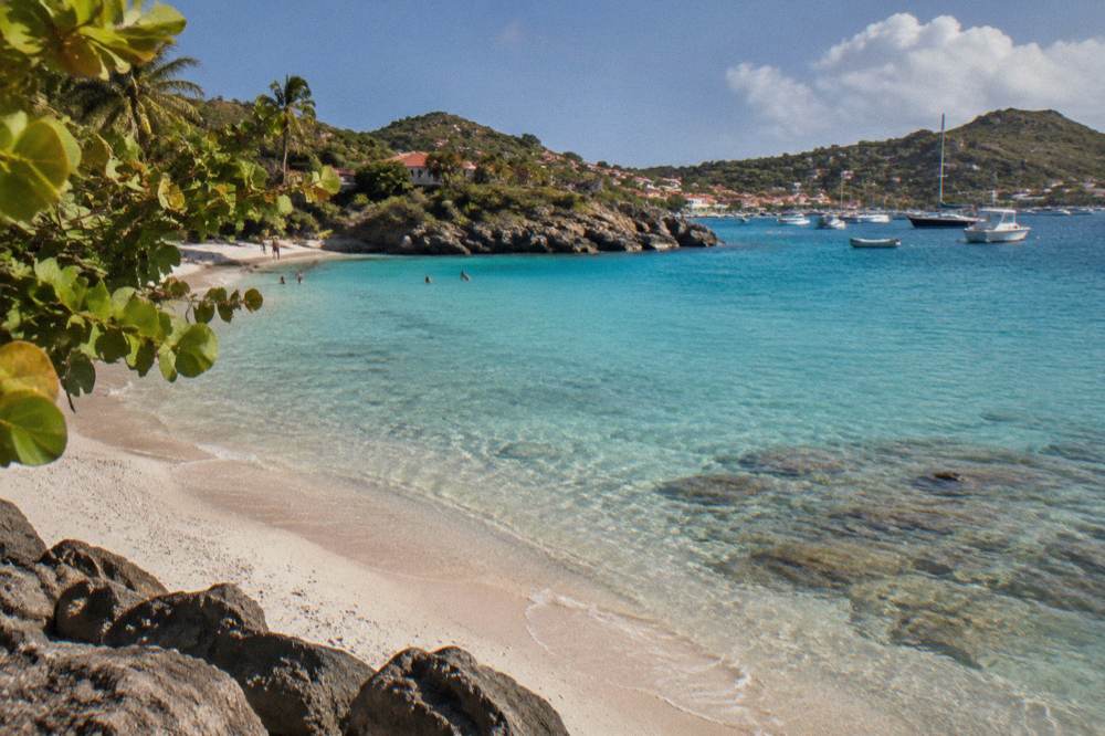
The marine reserve context matters for swimmers here more than at most beaches. The environment agency's regulatory zones page lists the rules that apply in the waters around St Barts, and they apply to people, not only to boats. The table below sets out the ones most relevant to anyone swimming or walking the shore at Shell Beach.
| Marine reserve rule | What it means for a beach visit |
|---|---|
| No touching, chasing or feeding protected species | Applies to turtles, corals, urchins, starfish, sharks and rays in the water |
| No gloves while swimming | Prevents collecting coral, shells and marine life by hand |
| No collecting coral, plants, crustaceans, sand, rocks or shells | Applies inside the reserve's regulated zones |
| No dogs on beaches or in the water | Island-wide ban under a municipal order, even on a leash |
| 5-knot speed limit in protected zones | Governs boats in the bays, including near Gustavia |
| No jet skis, seabobs or towed water sports | Banned in the reserve's zones |
The dog ban deserves emphasis because it is island-wide rather than reserve-specific. The environment agency's beach page states that dogs are prohibited on all beaches in St Barthelemy under a standing municipal order, even on a leash, with fines possible. Travellers planning a trip with a pet should read the site's pet travel guidance before assuming any beach is available to them.
How Do You Get To Shell Beach From Gustavia?
Shell Beach is reached on foot from Gustavia by a short downhill lane from the harbour side of town, and no car is needed for the walk itself; the beach sits just below the headland between the harbour and the open coast, so it forms a natural extension of a walking loop around the town. Because the beach is public and free to access, there is no gate, entry fee or ticket involved. The lane is the standard route shown on maps of Gustavia, and the walk is short enough that the beach functions as the town's own shore.
The site's pack gives no walking time for this route, and guessed times on steep island lanes mislead. What can be said is structural: Gustavia is compact, the beach is on its southern edge, and the drop from the town to the shore is downhill going and uphill returning, on a lane that serves the properties above the bay. Visitors with limited mobility should expect an incline rather than a flat promenade, since the island's terrain is hills throughout.
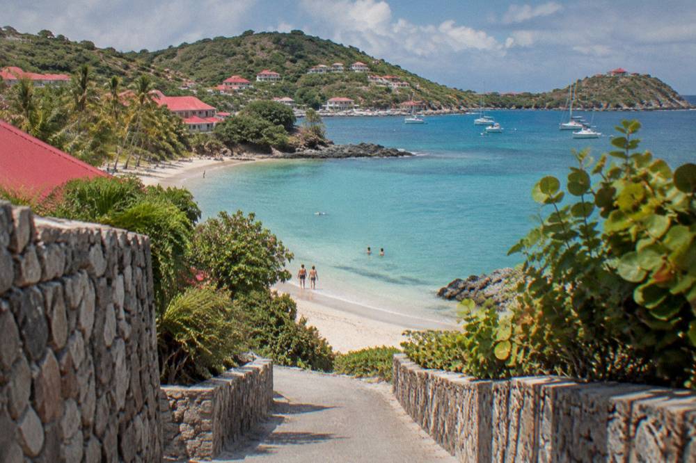
For visitors not based in Gustavia, the beach pairs naturally with a car day or a boat day. Driving on St Barts is on the right, on narrow and steep roads, with speed limits of 50 km/h island-wide and 30 km/h in Gustavia and St Jean; the counters at Gustaf III Airport include Avis, Budget and Hertz alongside local agencies and Mini Moke specialists. Parking in Gustavia is not something this page will characterise. Ferries from St Martin dock within the same walkable town: Great Bay Express from Philipsburg and Voyager from Marigot both arrive at Gustavia, making a ferry day trip that ends with time at Shell Beach entirely practical.
The beach also sits within a cluster of walkable Gustavia sights, which is why a visit rarely stops at the shore alone.
| Gustavia sight | Relation to Shell Beach |
|---|---|
| The harbourfront | Uphill walk back into town, where ferries and tenders arrive |
| Fort Karl | On the headland above the bay's side of town |
| Fort Gustaf | On the opposite headland overlooking the harbour entrance |
| Wall House Museum | In the town centre, harbour-side |
| The shell museum at Corossol | A short drive north, in the village of Corossol |
| Le Select | A long-standing Gustavia bar referenced across the town's own history |
The pairing of Shell Beach with the shell museum in Corossol is a nice symmetry: one shows the sea's own shells piled on a shore, the other shows worked shells and crafts from the island's tradition. Both are covered by separate pages on this site.
What Rules Apply On Shell Beach And The St Barts Marine Reserve?
Shell Beach lies beside waters governed by the St Barts marine reserve framework, whose rules the environment agency publishes on its regulatory zones page: a 5-knot speed limit in protected zones, no jet skis or towed motorised sports, no touching or feeding of turtles, corals and other protected species, no gloves in the water, no collecting of coral, shells, crustaceans, sand or rocks in regulated zones, and no dogs on any beach on the island. The reserve covers five zones around St Barts, including bays on the north-west coast such as Colombier and Fourchue.
The practical reading of those rules for a Shell Beach visit is straightforward. Swim, walk, look and enjoy; do not take, touch or chase. The shells underfoot on the shore are the beach's signature, but the reserve's zoning governs what may be collected from the sea and its regulated areas, and the environment agency's page is the authority on where those boundaries run. Anyone unsure should treat the sea and its life as strictly look-only, which is the safest reading of the published rules and the least harmful one. Other pages covering the same trip are gathered on St Barthelemy Travel.
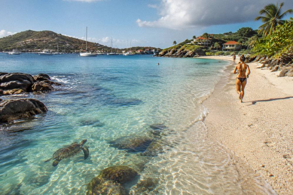
Turtles deserve a specific word because they are the rule most often broken by accident. Green and hawksbill turtles are present around St Barts, and the environment agency asks that nests and sightings be reported to it rather than disturbed, with light and noise kept down near nesting areas. Touching a turtle, in the water or on the sand, is prohibited. Snorkellers at Shell Beach or anywhere on the island should keep their distance and let the animal move away. The site's page on St Barts sea turtles covers the wider context of the reserve's protected species.
Drones are the other rule that catches visitors out. The environment agency's page states that drones are prohibited in or near the reserve's zones without prior authorisation, which covers much of the coastline a visitor most wants to film, and the areas around Gustavia are no exception in practice. Anyone planning aerial photography should check the agency's current rules first rather than assume.
What Else Is Near Shell Beach On A Gustavia Day?
A day built around Shell Beach naturally takes in the rest of walkable Gustavia: the harbourfront where ferries and tenders arrive, the two forts on the headlands, the Wall House Museum on the quay, and the town's shops and long-standing bars, all within the same compact capital of about 10,700 islanders in total. The beach is the swimming and shoreline element of that loop; the rest is history, shopping and people-watching around one of the Caribbean's best-known small harbours.
Gustavia's character comes from its harbour. Named for Sweden's Gustav III during the island's Swedish period, the town wraps a U-shaped bay where superyachts, ferries and tenders share the anchorage; cruise ships never dock at a pier here, they tender passengers ashore to the quay. The town's stone warehouses and its forts date from that era, and the island's history page is the place for that context in full. From the harbourfront, the walk to Shell Beach is one of the town's shortest excursions, and the return climb passes the headland paths toward Fort Karl.
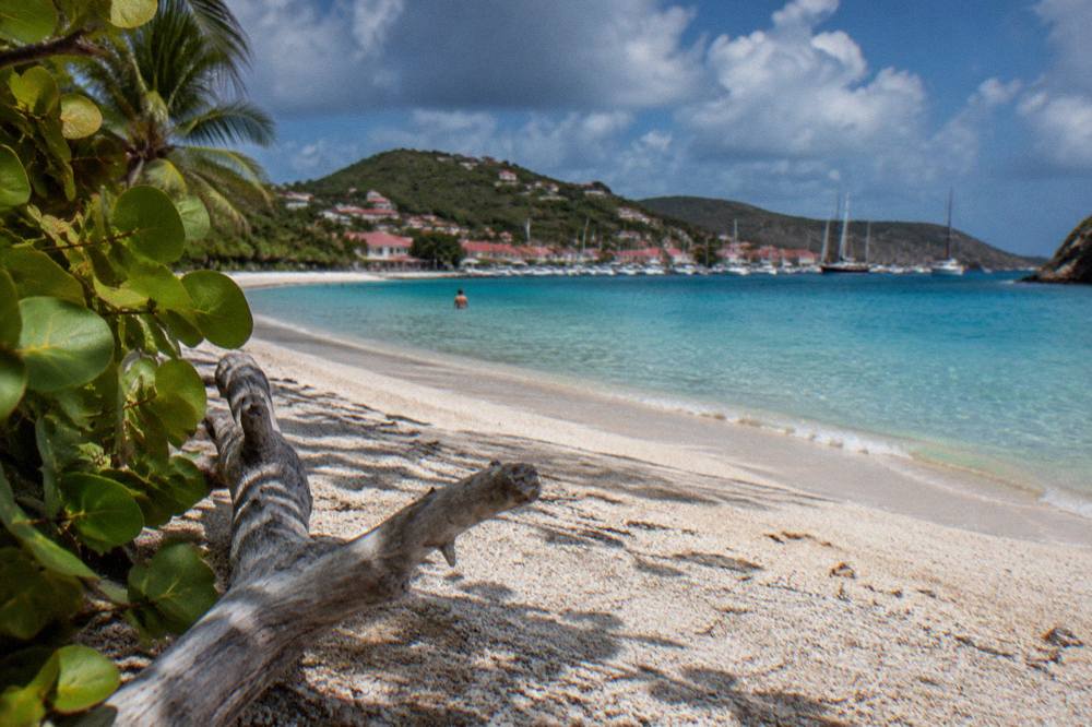
For beaches, Shell Beach is only one stop on a coastline of public shores. A visitor with a car, or a full itinerary, can build a beach-hopping day across the island's other public beaches, from Gouverneur and Saline on the south coast to Flamands, Lorient and Saint-Jean on the north. Colombier, on the north-west tip, is reached by boat or on foot, and it is the stop on most sailing itineraries from St Martin. The site's one-page beach guide by coast keeps the full list.
For staying overnight, Gustavia is one of the island's established areas, and beach hotels around the island are covered on the site's beach hotels guide. Rates vary by season, and each property's own booking page shows current ones. The autumn pattern is worth knowing when planning: many hotels and restaurants on St Barts close each year in late August and through September, reopening in waves between mid-October and early November, so a shoulder-season visit should confirm what is open before booking around it.
Planning where to stay overnight? Book a hotel stay.
When Is The Best Time To Visit Shell Beach In St Barts?
St Barts is warm year-round, with Meteo-France normals for 1991-2020 showing mean daily highs from 28.5 C in January to 31.7 C in September, and 891.3 mm of rain across the year, of which October is the wettest month at 135.6 mm; for Shell Beach specifically, the choice is between the drier high season from December to April, when hotels are fully open, and the quieter shoulder months, when the sea is warm but hurricane season runs from 1 June to 30 November. February is the month with the lowest rain in the normals, at 38.4 mm.
The full monthly picture, taken from the Meteo-France climate normals for the St Barthelemy station, is below. These are 30-year averages, not forecasts, and no prediction of rain, crowds or storms for any date follows from them.
| Month | Mean daily high | Mean daily low | Rain mm |
|---|---|---|---|
| Jan | 28.5 C | 23.5 C | 52.6 |
| Feb | 28.6 C | 23.3 C | 38.4 |
| Mar | 29.0 C | 23.5 C | 41.4 |
| Apr | 29.8 C | 24.2 C | 50.9 |
| May | 30.7 C | 25.1 C | 61.7 |
| Jun | 31.2 C | 25.9 C | 56.0 |
| Jul | 31.2 C | 26.0 C | 80.4 |
| Aug | 31.6 C | 26.3 C | 79.6 |
| Sep | 31.7 C | 26.2 C | 96.9 |
| Oct | 31.4 C | 25.8 C | 135.6 |
| Nov | 29.9 C | 25.0 C | 118.6 |
| Dec | 28.9 C | 24.1 C | 79.2 |
Sea temperature is warm throughout the year, about 26 C in winter to about 29 C from August to October, from a secondary source, so swimming at Shell Beach is a year-round proposition in principle. Hurricane season overlaps the warmest months, with its statistical peak of activity near 10 September; the season has been unusually quiet so far in 2026, and no prediction is made here. The island's most serious recent storm was Hurricane Irma in September 2017.
Time of day is the other axis. The beach faces the open Caribbean on the island's south-west edge, and the site keeps a separate page on sunset spots around St Barts for the evening question. Beyond that, no claim about morning versus afternoon conditions at this specific bay is verifiable, so none is made: look at the sky and the swell on the day, as anywhere.
Which Boat Trips From St Martin Pass Shell Beach?
Every bookable boat tour listed here departs from St Martin or Sint Maarten, and several round St Barts in a way that includes Gustavia and its surrounding coast, where Shell Beach sits; the group sail visits Gustavia, Colombier Beach and Ile Fourchue in one day, while the private charters, including one built around a Nikki Beach stop, tailor the route to the group. None of these trips starts on St Barts itself, so they suit visitors based on, or transiting through, the St Martin side.
The group option is the natural first comparison, priced per person, and it is the trip this page highlights. The private alternatives, priced per group of up to 8 or 10, give a family or a party of friends the whole boat and a flexible itinerary, which on a short crossing like this means the captain can weight the day toward swimming stops, the Gustavia anchorage or both. The overnight catamaran adds a night at anchor for a two-day version of the same coast. Full details, prices and ratings render from the live listings rather than from this page.
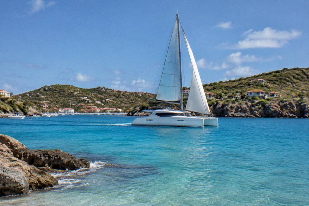
A boat day and a Shell Beach day are not mutually exclusive. The ferries from St Martin dock in Gustavia a short walk from the beach, so a ferry-based day trip can include shore time at Shell Beach before the return sailing, while a charter day puts the same coastline in view from the water. The crossing itself deserves a plain warning: the sea between St Martin and St Barts can be rough, and both operators' sailings are subject to weather, so a smooth passage is never promised by anyone honest. The site's page on ferry crossings and seasickness treats that subject in depth.
The second set of options below gives the private-charter comparison for anyone weighing a whole-boat day against the group sail.
Common Questions About Shell Beach In St Barts
Is Shell Beach in St Barts public?
Yes. All beaches on St Barthelemy are public and free to access, and Shell Beach, also called Grand Galet, is listed among the island's named public beaches by the tourism committee.
Why is it called Grand Galet?
Grand Galet is the beach's French name, Anse de Grand Galet, and it refers to the same bay on the south side of Gustavia. Both names describe the shell-strewn shore beside the island's capital.
Can you walk to Shell Beach from Gustavia?
Yes. The beach sits on the southern edge of Gustavia, reached by a short downhill lane from the harbour side of town, and no car is needed for the walk. The return is uphill, consistent with the island's hilly terrain.
Are dogs allowed on Shell Beach?
No. Dogs are prohibited on all beaches in St Barthelemy under a standing municipal order, even on a leash, according to the environment agency's beach page, and the ban carries possible fines.
Can you take shells home from Shell Beach?
The marine reserve's rules, published by the environment agency, prohibit collecting coral, plants, shellfish, crustaceans, sand, rocks and shells within its regulated zones. Treat the shore and the sea as look-only and check the agency's regulatory zones page for the boundaries.
Do tours to Shell Beach leave from St Barts?
No bookable tour listed here departs from St Barts. Every boat trip leaves from St Martin or Sint Maarten and visits St Barts, arriving in or near Gustavia, from which Shell Beach is a short walk.
Shell Beach is Gustavia's own beach: public, shell-covered and within walking distance of the harbour, ferries and forts, with marine reserve rules that ask visitors to leave its shoreline exactly as the sea left it.