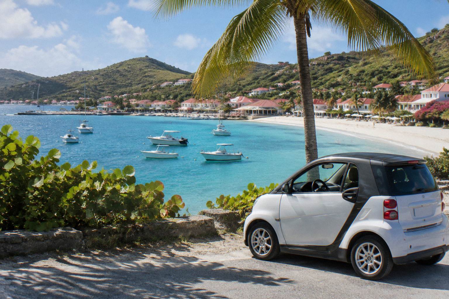
Saline Beach St Barts
Saline Beach, or Anse de Grande Saline, is one of the named public beaches on the south coast of St Barts, a long sweep of sand backed by a dune and the Grand Saline salt pond.
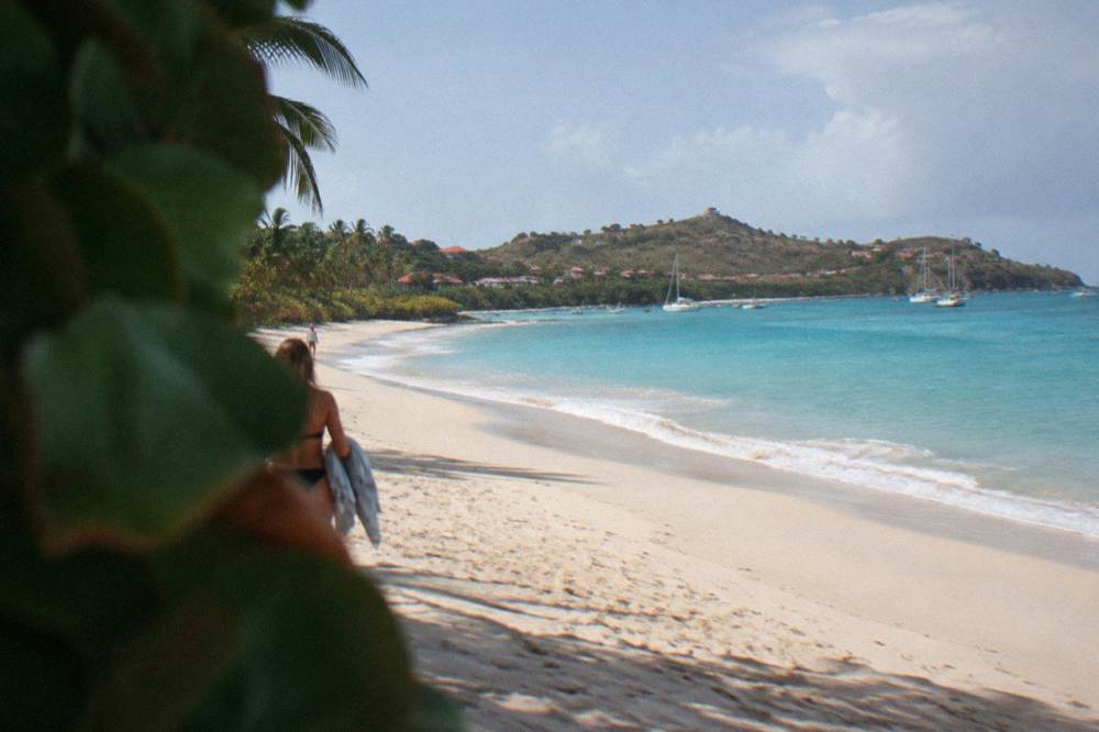
Saline Beach is a public beach on the south coast of St Barts, between Gouverneur and the island's southeastern corner. There is no development on the sand itself: the beach sits behind a dune, with the Grand Saline salt pond inland of it. It is reached by road and then a sandy path over the dune, and it is one of the beaches most often included in island sightseeing loops.
St Barthelemy, usually written St Barts, is a small French island in the Caribbean, and Saline Beach is one of its named public beaches, a long south-facing sweep of sand known in French as Anse de Grande Saline. The beach sits behind a low dune, and inland of that dune lies the Grand Saline salt pond, the feature that gives both the beach and the surrounding area their name. This guide from St Barthelemy Travel covers where Saline sits on the island map, how it is reached, how it compares with the other named beaches, and how the boat day trips that bring visitors over from St Martin fit into a day on this coast.
Where Is Saline Beach In St Barts?
Saline Beach sits on the south coast of St Barts, roughly between Gouverneur to the west and the island's southeastern end, facing the open Caribbean. It is one of eleven named public beaches on an island of about 21 square kilometres, and the Grand Saline salt pond lies directly inland behind the dune line, which is how the beach got its French name, Anse de Grande Saline.
The position matters for planning. The south coast of St Barts faces away from Gustavia and the airport, so a visit to Saline pairs naturally with Gouverneur, which occupies the same stretch of shoreline a little further west, and with the inland villages on the road between them. The territorial tourism committee lists Saline among the island's beaches, and all of them, Saline included, are public under island law. There is no private beach in St Barts and no gate at Saline.
The beach is also a landmark for anyone arriving by sea. Boats approaching St Barts from St Martin to the north often work their way around the island's coastline, and the long open bay at Saline is one of the features of the southern shore, along with the ponds and low hills that frame it. The saline area guide covers the surroundings in more detail, including the inland side of the salt pond and how the neighborhood is laid out.
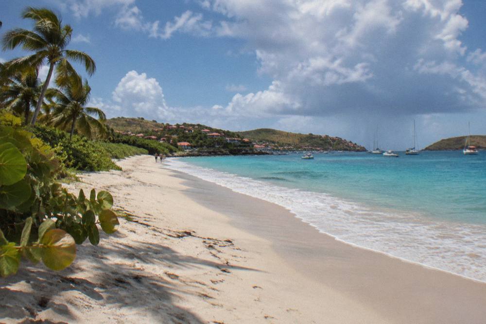
| Fact | Detail |
|---|---|
| French name | Anse de Grande Saline |
| Position | South coast of St Barts, east of Gouverneur |
| Backdrop | Dune line and the Grand Saline salt pond |
| Status | Public beach, like every named beach on the island |
| Named on | The territorial tourism committee's beach list |
How Do You Get To Saline Beach St Barts?
Saline Beach is reached by road and then a sandy path that crosses the dune from the roadside to the sand, on foot, since vehicles do not drive onto the beach itself. Visitors staying on St Barts typically drive there with a rental car or arrive by taxi, and visitors staying on St Martin can arrive either by the scheduled ferry to Gustavia or as part of a boat day trip along the coast.
The practical detail is the dune. Unlike beaches that sit directly beside the road, Saline holds its sand behind a rise, so the last stage of any arrival is a short walk over soft ground. That is part of why the beach reads as it does once you are through: the dune screens the road, the salt pond sits behind it, and the beach opens up as a single long arc. The island's roads are narrow and steep, which is described in every driving guide to St Barts, and a small vehicle handles them more easily than a large one.
Many visitors combine Saline with other beaches in a single loop, and the beach hopping itinerary exists for exactly that pattern: south coast beaches in one drive, north coast beaches in another. For anyone based on St Martin or Sint Maarten rather than on the island, the crossing options are the Great Bay Express ferry from Philipsburg, about 45 minutes according to the operator's page, or the Voyager ferry from Marigot, about 50 to 60 minutes, and from there a rented car or a taxi covers the rest.
The other route is by water. Day trips from St Martin and Sint Maarten run to St Barts year after year, and the coast around Saline is part of what a boat passing the south shore sees. The Boomerangs Group Sail and Snorkel, the group day trip listed here, departs from the St Martin side and spends a full day around St Barts, including its coastline stops: See the live listing.
| Way of arriving | The route | Notes from the operators' pages |
|---|---|---|
| Rental car or taxi | Road to the Saline area, then the dune path on foot | The last stretch is a sandy walk over the dune |
| Ferry from Philipsburg | Great Bay Express from Bobby's Marina, about 45 minutes | Passport required, check-in well before departure |
| Ferry from Marigot | Voyager from the Marigot terminal, about 50 to 60 minutes | Two to three sailings a day in each direction |
| Boat day trip | Departures from St Martin and Sint Maarten marinas | Every boat tour listed here leaves from the St Martin side |
What Can You Expect At Saline Beach St Barts?
Saline is an open public beach with no buildings standing on the sand, framed by the dune and the salt pond behind it rather than by hotels, shops or beach clubs. It appears on the territorial tourism committee's list of the island's beaches, every one of which is public, and its name refers to the Grand Saline pond that lies a few minutes inland across the dune line.
That absence of beachfront development is the defining feature, and it is a matter of layout rather than of any rule: the beach sits apart from the island's built-up spots, with Gustavia on its harbor to the northwest and the hotel areas of Saint-Jean and Flamands on the opposite side of the island. What a visitor carries in, a visitor carries out, and the sun over an exposed south-facing bay is strong year round. The Meteo-France normals for St Barthelemy show a mean daily high of 28.5 C in January rising to 31.7 C in September, so shade, water and sun protection belong in the bag in every month of the year.
The salt pond is not scenery only. Ponds of this kind on small Caribbean islands function as resting and feeding habitat for birds, and the island's environmental agency, the Agence Territoriale de l'Environnement, manages protected natural areas across the territory, including the marine reserve whose zones cover parts of the coastline. The environment agency's regulatory-zones page lists its zones and rules, among them a 5-knot speed limit on the water inside reserve zones, a ban on jet skis, 23 listed dive sites, no dogs on beaches and no touching of sea turtles. Those rules shape what happens on and around the water island-wide, Saline included, and reading them before a visit takes a few minutes.
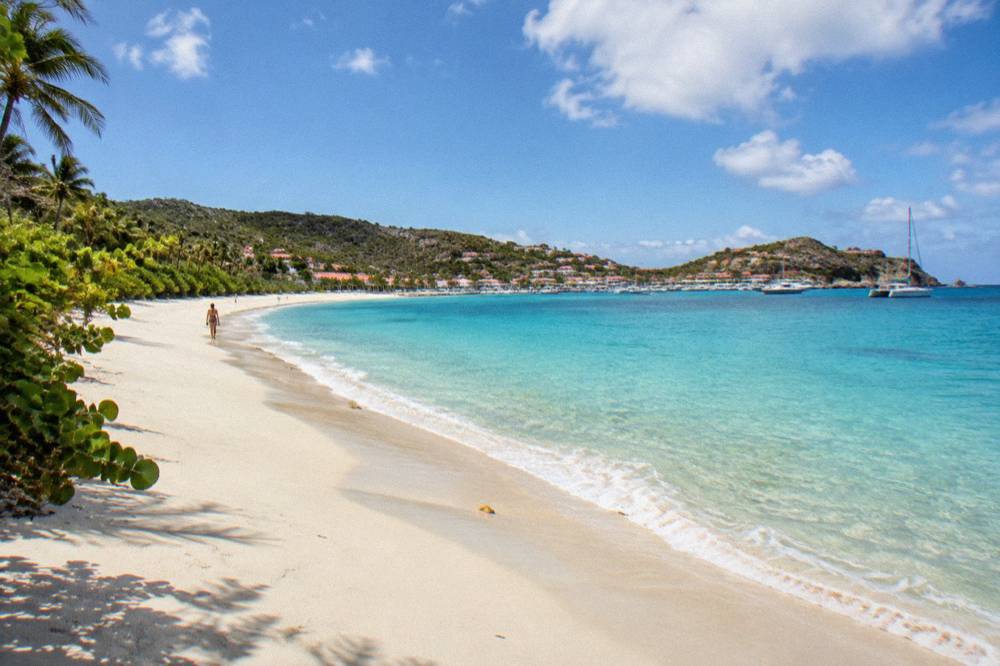
| What the beach offers | What to plan for |
|---|---|
| A long public arc of sand on the south coast | No shops or vendors on the sand, so carry water and food in |
| A dune crossing on arrival | Sandals or shoes that handle soft sand are practical |
| The Grand Saline pond behind the dune | Stay on established paths across the dune line |
| Strong sun year round | Shade, hats and sunscreen, per the climate normals |
| Open water facing south | Conditions vary, so check the day's weather before swimming |
Is Saline Beach Clothing Optional?
St Barts designates no official clothing-optional beach, and Saline has no such designation either, though the beach is one of the places where the question is asked most often because of its distance from the road and its French island setting. What people wear on any given stretch of sand varies along the bay, and families share the beach with other visitors throughout the year.
The honest answer is longer than a yes or a no, and it is covered in detail on two other pages of this site. The dedicated answer page, is Saline Beach clothing optional, works through the question directly, and the wider guide to nude beaches in St Barts sets the island's French-influenced beach culture in context, including how etiquette works around entrances and family areas. Reading those two pages before a first visit answers the practical questions this page cannot responsibly compress into a sentence.
What can be said here is behavioral. Saline is a public beach, shared by everyone, and the parts of the bay nearer the dune path see the widest mix of people, from families with coolers to swimmers doing laps of the bay. Anyone photographing the beach should be mindful that it is a shared public space, which is good practice on every beach on the island, from Gouverneur around the coast to Lorient on the north side.
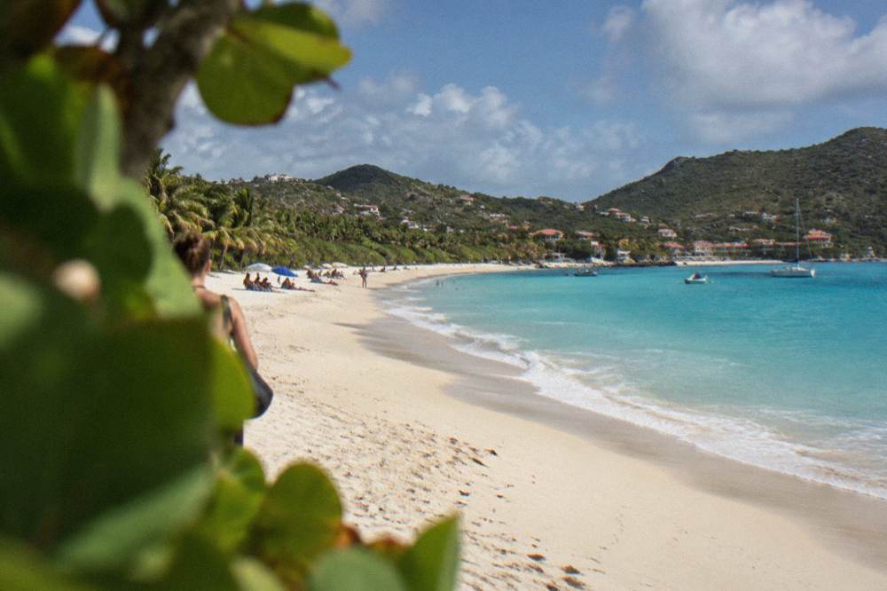
How Does Saline Compare With Other St Barts Beaches?
Saline is one of eleven named public beaches on St Barts, and its distinguishing traits are position and setting: a long south-facing bay behind a dune and salt pond, with no development on the sand. Colombier on the northwest coast is the only other named beach reached without a road to the sand, since it is accessed by boat or on foot, while beaches like Saint-Jean and Grand Cul-de-Sac sit beside the island's hotels and water-sports areas.
Each beach page on this site covers one stretch of sand in the same way, by name, map position and public status, and the comparison table below gathers them. The full beach guide, organized by what each beach suits, does the same for the whole island, and the answer page on the nicest beach in St Barts addresses the question every visitor asks and no single beach answers the same way twice.
| Beach | Position on the island | How the sand is reached |
|---|---|---|
| Saline | South coast, east of Gouverneur | Road to the area, then the dune path on foot |
| Gouverneur | South coast, west of Saline | Road runs close to the bay |
| Colombier | Northwest coast | By boat or on foot, no road to the sand |
| Shell Beach | Just outside Gustavia | A short walk from the harbor side of town |
| Flamands | North coast, west of Saint-Jean | Road access along the bay |
| Saint-Jean | North coast by the airport | Road access beside the village |
| Lorient | North coast, east of Saint-Jean | Road access along the bay |
| Grand Cul-de-Sac | Northeast coast | Road access along the shoreline |
| Corossol | West coast north of Gustavia | Road access by the village |
The differences that matter in practice are orientation and surroundings. A south coast day at Saline and Gouverneur is a day of open bays and hill roads, while a north coast day at Saint-Jean and Flamands runs past the airport, the shops and the hotel areas. The east coast around Grand Cul-de-Sac and the quieter bays such as Anse des Cayes round out the map, and Marigot and the Corossol beach and village sit on the western side. Saline's place in that list is simple to state: it is the long open bay of the south coast, the one with the pond behind it.
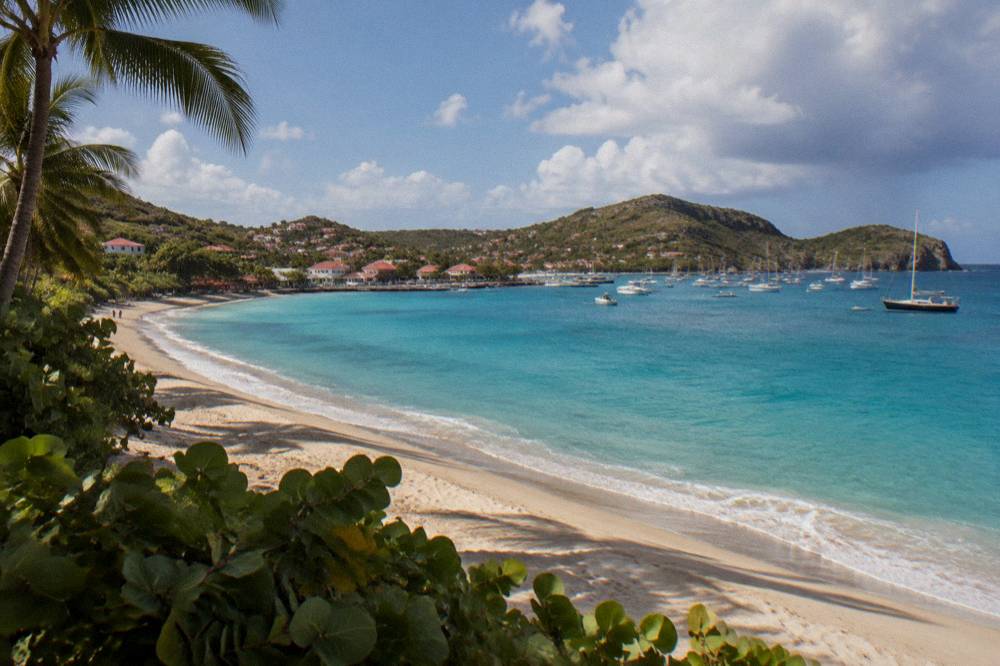
What Is The Salt Pond Behind Saline Beach?
The Grand Saline pond is a shallow coastal lagoon lying inland of the dune at Saline, and it gives the beach its French name, Anse de Grande Saline. It is one of the natural features of the island's low-lying south side, and it separates the beach from the road and the inland area, which is why every arrival at Saline crosses the dune on foot rather than stepping straight from a vehicle onto the sand.
The pond deserves respect as habitat rather than treatment as an obstacle. Coastal ponds of this kind on Caribbean islands are used by wading birds and waterfowl, and the dune itself is a fragile buffer between salt water and fresh. Walking the established path across it, rather than cutting new lines through the vegetation, is the single most useful thing a visitor can do for the site, and it costs nothing. The environment agency, which manages the territory's protected areas, asks visitors island-wide to leave sand, shells and plants in place and to take rubbish away.
The pond also explains the area's name in the wider sense. The saline area guide on this site covers the inland side of the district, the road connections toward Gustavia and the southeast, and how the neighborhood fits into the island's layout. For visitors pairing a beach morning with an afternoon of exploring, the geography works well: the same road that serves Saline continues to Gouverneur and the southwest, and Gustavia's harbor, shops and the Shell Beach walk sit within an easy island drive.
When Is The Best Time Of Year For Saline Beach?
The climate normals for St Barthelemy show a mean daily high between 28.5 C in January and 31.7 C in September, so Saline is a warm-weather beach in every month, and the choice of season is about rain and events rather than temperature. The Atlantic hurricane season runs from 1 June to 30 November with its peak from mid-August to mid-October, and many of the island's hotels and restaurants close in autumn and reopen between mid-October and early November.
Rain, not heat, is the variable. The wettest months of the normals table, October at 135.6 mm and November at 118.6 mm, sit inside the hurricane season, and the driest months, February at 38.4 mm and March at 41.4 mm, sit in the heart of the winter high season. A visit timed to the Gourmet Festival in November lands when the restaurants have reopened and the rains of October are behind the island; a visit in late spring trades the festival calendar for quieter roads.
| Month | Mean daily high | Mean daily low | Rain |
|---|---|---|---|
| January | 28.5 C | 23.5 C | 52.6 mm |
| February | 28.6 C | 23.3 C | 38.4 mm |
| April | 29.8 C | 24.2 C | 50.9 mm |
| June | 31.2 C | 25.9 C | 56.0 mm |
| September | 31.7 C | 26.2 C | 96.9 mm |
| October | 31.4 C | 25.8 C | 135.6 mm |
Source for the table: Meteo-France climate normals, 1991-2020, for the St Barthelemy station.
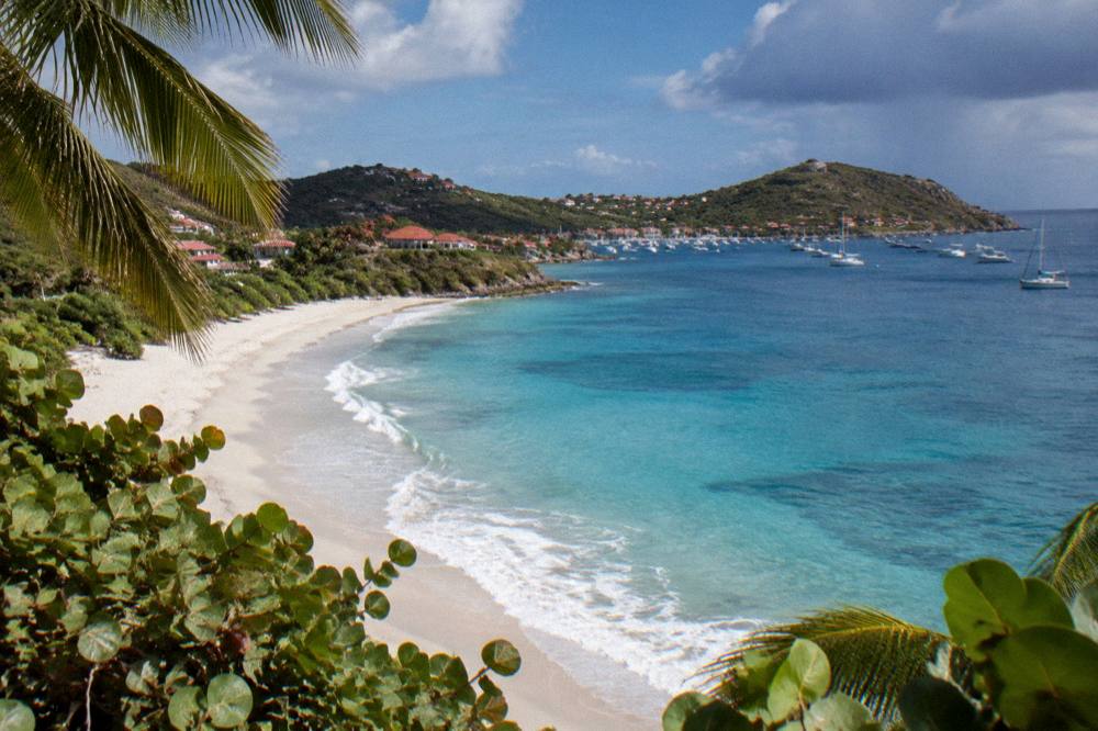
Can You Visit Saline On A Day Trip From St Martin?
Yes, and the boat day trip is the standard way to do it, since every bookable tour listed here departs from St Martin or Sint Maarten and visits St Barts rather than the reverse. A full-day sail crosses to St Barts, spends time around its coastline and bays, and returns the same evening, while private charters run the same route on a renter's own schedule. The ferry is the other option, running from Philipsburg and Marigot to Gustavia.
The group option listed here is the one already mentioned above, the Boomerangs Group Sail and Snorkel, which departs from the St Martin side and spends its day around St Barts, Gustavia and the northwest anchorages. For visitors who want the coast to themselves, the private charter route covers the same crossing with a boat and crew hired by the group, and the trip list holds several of them at different sizes and styles, from a conventional full-day charter to an overnight catamaran run that turns the day trip into two days on the water. The listing for each one shows its own price, capacity and departure details.
The Nikki Beach charter deserves its own line because of where it lands: its route ties the boat crossing to the island's best known beach club scene on Saint-Jean, which makes it a different day out from the wilder anchorages. The full picture of that scene, including how the clubs work and what to expect at each, is in the site's guide to beach clubs in St Barts, and the question of which beach club is best has its own answer page. The Nikki Beach attraction page and the tour page for the Nikki Beach charter cover the details.
One thing no visitor should plan around is a walking tour. There is no guided or free walking tour on St Barts listed here, and the beaches and open public places, Saline included, are free to visit without any booking at all. A day trip by boat, a rental car on the island, or the ferry plus a taxi are the three real ways a Saline visit happens.
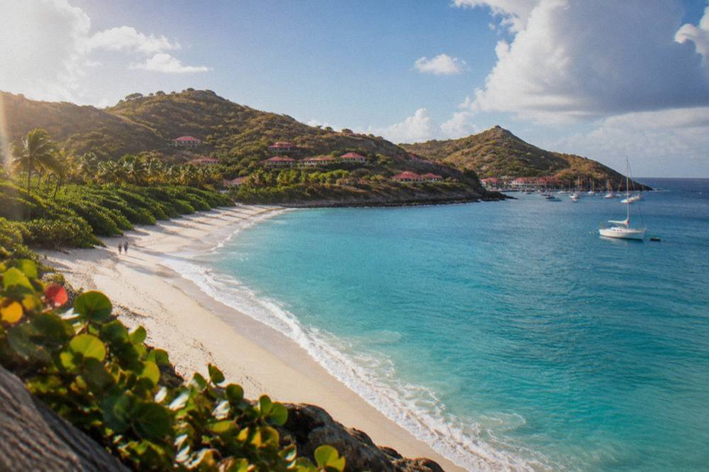
| Option listed here | Departs from | Style |
|---|---|---|
| Group sail and snorkel day trip | St Martin / Sint Maarten | Shared day trip, per person |
| Full-day private charter | St Martin / Sint Maarten | Private day charter, per group |
| Private charter to St Barth | St Martin / Sint Maarten | Private day charter, per group |
| Nikki Beach private charter | Sint Maarten | Private day charter, per group |
| Overnight private catamaran | St Martin / Sint Maarten | Two-day private run, per group |
| Private sailboat charter | St Maarten | Private day charter, per group |
What Should You Bring To Saline Beach?
A Saline visit is a carry-in, carry-out day: water, food, shade and sun protection, because nothing is sold on the sand and the walk over the dune is the last stop before the bay. Footwear that handles soft sand, a hat and reef-safe sunscreen cover the basics, and a bag for rubbish on the way out covers the island's expectations of its public beaches.
The sun is the one constant. The climate normals never drop below a mean daily high of 28.5 C, and the beach is open to the southern sky with little natural shade, so the standard Caribbean kit applies in full. Water matters most: the dune crossing and a hot walk back at midday are the parts of a Saline day people forget to plan for. The colombier hike page makes the same point for the island's walk-in beach on the other coast, and the beach hotels guide covers where to stay to keep both coasts within easy reach.
| Item | Why it earns its place |
|---|---|
| More water than seems reasonable | No sales point on the sand, and the dune crossing is exposed |
| Shade, hat or umbrella | Open southern exposure, mean highs of 28.5 to 31.7 C |
| Reef-safe sunscreen | The environment agency's rules protect marine life island-wide |
| Sand-friendly footwear | The path to the beach crosses soft dune sand |
| A rubbish bag | Public beaches are carry-in, carry-out |
| Dry bag for keys and phone | Salt pond, dune and surf all sit within a few steps of each other |
Common Questions About Saline Beach St Barts
Is Saline Beach public?
Yes. Every named beach on St Barts is public, and Saline appears on the territorial tourism committee's list of the island's beaches alongside Gouverneur, Colombier, Saint-Jean and the rest.
Is Saline Beach clothing optional?
St Barts has no officially designated clothing-optional beach, and Saline has no such designation. The question is answered in full on this site's dedicated page, is Saline Beach clothing optional, and in the wider guide to nude beaches in St Barts.
How do you get to Saline Beach?
By road to the Saline area, then on foot over the sandy dune path that separates the road and salt pond from the beach. Visitors based on St Martin can also arrive by ferry to Gustavia or on a boat day trip around the island's coastline.
Is there anywhere to eat at Saline?
This page names no restaurant, beach club or bar, and the beach itself has no development on the sand. Visitors should plan to carry water and food in and rubbish out.
When is the best time of year to visit?
Every month is warm: the Meteo-France normals, 1991-2020, show mean daily highs from 28.5 C in January to 31.7 C in September. February is the lowest-rain month at 38.4 mm, October the wettest at 135.6 mm, and hurricane season runs 1 June to 30 November with its peak from mid-August to mid-October.
Can dogs come to Saline Beach?
No. The environment agency's rules prohibit dogs on beaches and in the water in the reserve's areas, and the island applies its beach rules across its public sands.
Saline is the long open bay of St Barts' south coast, public, undeveloped and backed by its salt pond, and one crossing of the dune is all it takes to understand why it holds its place on every beach list the island has.