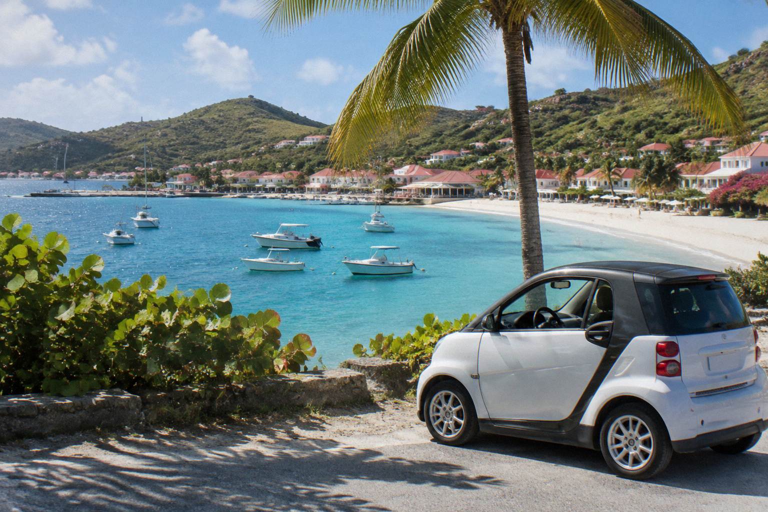
Saline And Grand Fond Area Guide
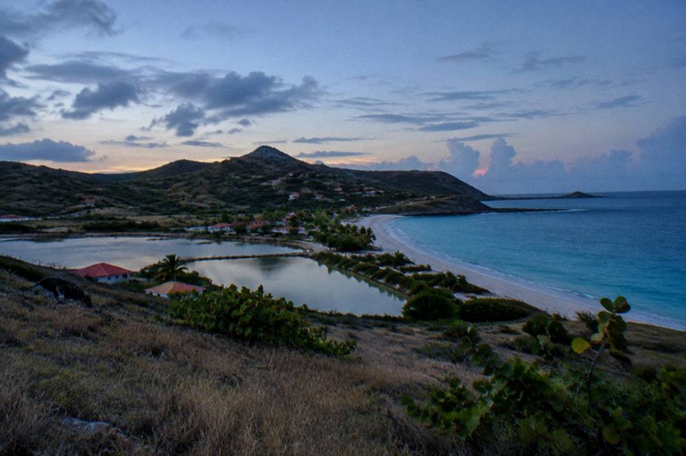
Saline and Grand Fond sit on the south coast of St Barthelemy, a small French island in the Caribbean, where a long public beach meets a salt pond and a quiet residential bowl of hills behind it.
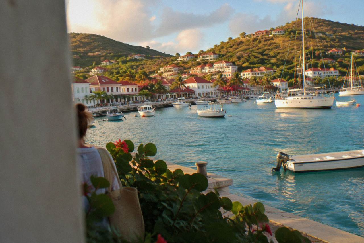
Saline is a public beach on St Barts' south coast with a salt pond behind it and the small residential area of Grand Fond on the hills above; there are no hotels on the sand and no named waterfront restaurants to plan around, so the area works best as a beach and scenery stop on a driving or boating day.
Saline and Grand Fond occupy the south coast of St Barthelemy, usually written St Barts, a French overseas collectivity in the Caribbean since 2007 with Gustavia as its harbour capital. The area pairs one long public beach with the salt pond that gives it its name, and a small residential bowl of hills, Grand Fond, rising behind. There is no village centre, no waterfront promenade and no hotel row on the sand, which is exactly why the area draws the attention it does. This guide covers what the area is, how it fits an island plan, and what the surrounding rules and logistics actually allow, in the reporting voice this site uses throughout.
Where Is The Saline Area In St Barts?
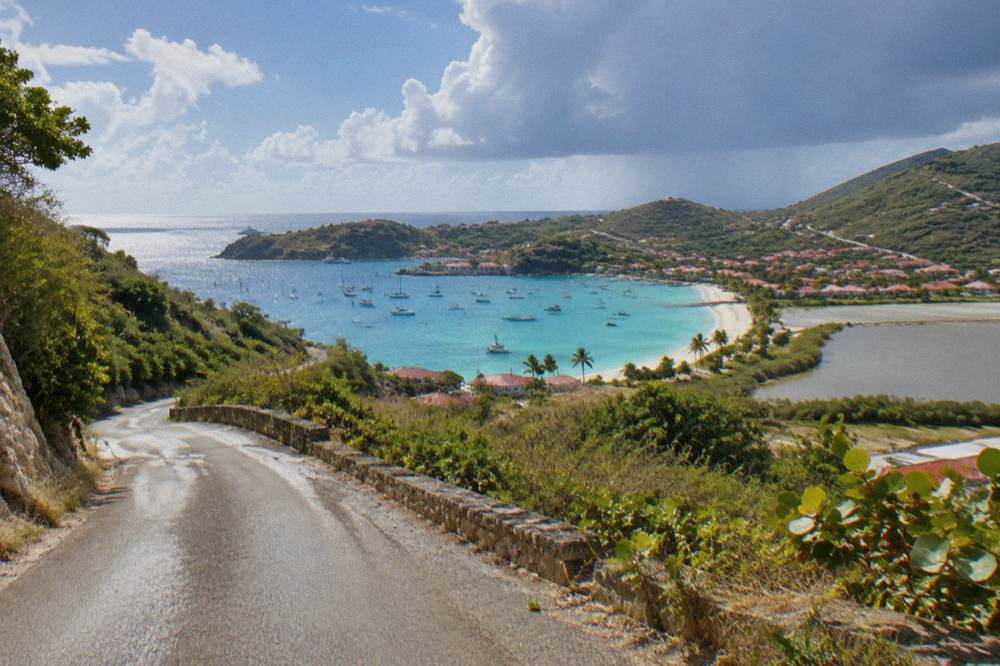
The Saline area sits on the exposed south coast of St Barts, between Gustavia to the west and Grand Fond and Toiny to the east, with the beach facing open water and a salt pond held behind it by a low line of dunes. Grand Fond is the residential quarter on the hillside above and inland. The area is about 21 square kilometres of island in total, home to roughly 10,700 residents, and Saline is one of the named public beaches the tourism committee lists.
On the map the area is straightforward. Gustavia, the capital, lies to the west along the south coast road. Follow that road east and it climbs over a col before dropping toward the Saline beach access, then continues up into Grand Fond and on toward the Toiny coast. The Toiny coast is the next named stretch east, and the Grand Cul-de-Sac area lies over the northern side of the same hills on the island's east-facing shore.
Grand Fond itself is a loose cluster of houses, lanes and viewpoints rather than a village. The tourism committee's beach list names Saline, and the map places the pond behind it, but beyond that little detail is available, so this guide does not invent it. What the map does show is that the area sits at one of the higher, wilder corners of the island's road network, with views south toward the sea from several points along the Grand Fond lanes.
For orientation purposes the St Barts neighborhoods map places Saline and Grand Fond in context against Gustavia, Saint-Jean and the north shore, and the broader best area to stay in St Barts comparison explains where this coast fits among the island's accommodation areas.
What Is There To Do Around Saline And Grand Fond?
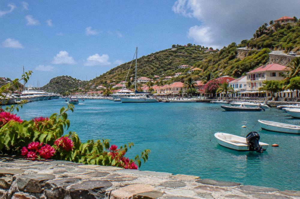
The honest answer is that Saline and Grand Fond offer scenery, walking and a public beach, and little else by design. There is no beach club strip, no shop row and no attraction with a ticket. The beach itself is public and free, the hills carry lanes worth driving for the views, and the salt pond is a landscape feature to look at, not a facility. Everything bookable listed here is a boat day departing from St Martin or Sint Maarten, not an activity based in Saline.
The beach is the draw. It appears on the tourism committee's list of the island's public beaches alongside Saint-Jean, Gouverneur, Colombier and the others, and every beach on St Barts is public by rule. Access to the sand is on foot from the parking area over the dune line, with the pond on the inland side of that dune line. No claims are made here about sand, waves, currents, lifeguards, facilities or parking, and none about the beach being calm or the island's finest.
A note on clothing comes up in search constantly, and the island has an answers page on whether Saline beach is clothing optional covering what is and is not legal on a public beach in a French territory. Read that before planning, and treat the law as the law rather than folklore.
Beyond the sand, the area's other use is as a passage on a southern loop. Drivers coming from Gustavia cross the col, pass the Saline turn, climb into Grand Fond and can continue toward Toiny or cut north toward Grand Cul-de-Sac. Several hiking routes cross the island's hills, and the St Barts hiking trails guide covers what the network includes.
The water angle deserves a paragraph of its own. The one per-person group sail listed here, the Boomerangs Group Sail and Snorkel, runs only from 12 May to 31 August 2027 on its listing, and it departs from St Martin or Sint Maarten, as every bookable product here does. It rounds the island with stops at Gustavia, Colombier and Ile Fourchue, giving a view of this south coast from seaward that no road on St Barts can match. Full details, pricing and availability render in the block above, and the same trip is covered in more depth on the Gustavia, Colombier and Ile Fourchue sail page, with See the live listing for live dates.
How Do You Get To Saline Beach In St Barts?
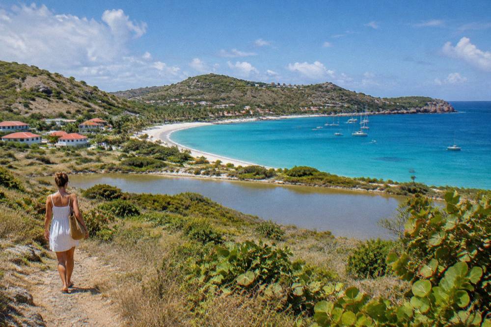
Saline beach is reached by road from Gustavia along the south coast, on the island's network of narrow, winding and steep lanes, with the final approach on foot over the dune line from the parking area. Driving is on the right, French rules apply, the speed limit is about 50 km/h island-wide and about 30 km/h in built-up areas, and there is no public transit substitute worth planning around. No drive time figure exists for this journey.
The road reality matters more here than on most Caribbean islands. The approach involves climbing and descending with tight bends, and the same caution applies to every area guide on this site: small vehicles with higher clearance are the common choice, Mini Mokes are available from local agencies, and the counters at Gustaf III Airport include Avis, Budget and Hertz. The St Barts car rental and rental car tips guides cover the mechanics, and the question of whether a car is worth it at all is handled in the do you need a car in St Barts article. No rental price, deposit or minimum age figure appears anywhere on this page.
Arriving by sea is the alternative, and it is the one the trip list supports. Ferries from St Martin and Sint Maarten land at Gustavia, with Great Bay Express running from Philipsburg on the Dutch side and Voyager from Marigot on the French side, both crossing to Gustavia in roughly 45 to 60 minutes subject to weather. From Gustavia the beach is a drive east. The how to get to St Barts guide covers the gateways, the small STOL turboprop flights into SBH and the ferry operators in full, and no fare or timetable figure is printed anywhere in this area guide.
| Way To Arrive | Where It Starts | Where It Lands | Notes |
|---|---|---|---|
| Rental car from SBH | Gustaf III Airport area | Road to Saline | Right-hand driving, narrow steep roads |
| Ferry from Dutch side | Philipsburg, Bobby's Marina | Gustavia | Great Bay Express, about 45 minutes |
| Ferry from French side | Marigot terminal | Gustavia | Voyager, about 50 to 60 minutes |
| Small plane | SXM, SFG, PTP, SJU, ANU gateways | SBH (Gustaf III) | 646 m runway, turboprops only, daylight only |
| Boat day tour | St Martin or Sint Maarten | Gustavia, Colombier, Ile Fourchue | Every bookable product listed here |
Where Does Saline Sit Among The Best Areas To Stay In St Barts?
Saline and Grand Fond are overwhelmingly residential, with no hotel on the beach, so the area suits travellers who book a villa in the hills or stay elsewhere and visit for the day. Gustavia, Saint-Jean, Flamands and Grand Cul-de-Sac carry the named hotels on this site's lists, and the villa market island-wide is large, managed by firms including WIMCO, Sibarth and St Barth Properties. No rate, rating or room claim is made.
To find somewhere to stay nearby, book a hotel in St Barts.
The honest planning frame is that St Barts concentrates its known accommodation in a handful of areas, and Saline is not one of them. The Gustavia where to stay, Saint-Jean area, Flamands area and Grand Cul-de-Sac area guides name the properties in each, and the general St Barts hotels and St Barts villas pages cover the island-wide picture. For Grand Fond specifically, the villa route is the realistic one, and villa availability runs year-round even when hotels close.
That closure pattern is worth knowing whenever you book. Many hotels and restaurants across St Barts close each autumn and reopen in waves between mid-October and early November, a recurring pattern rather than a fixed set of dates, so an autumn stay anywhere on the island should be confirmed directly with the property. Villas are the steadier option in that window, and the St Barts low season guide covers what stays open.
| Area Of St Barts | Character | Known For On This Site |
|---|---|---|
| Gustavia | Harbour capital | Shops, restaurants, ferry and tender port |
| Saint-Jean | Airport-side beach area | Beach, airport approach, hotels |
| Flamands | North-west beach area | Wide beach, named hotels |
| Grand Cul-de-Sac | East-facing shore | Lagoon area, family appeal |
| Saline and Grand Fond | South-coast residential | Public beach, salt pond, hill lanes |
| Colombier | North-west remote cove | Reached by boat or by a walk |
What Rules Apply At Saline Beach And The Salt Pond?
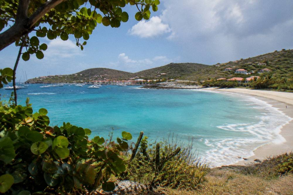
The marine reserve rules that govern St Barts coastal waters come from the environment agency's regulatory-zones page: a 5-knot speed limit in protected zones, no jet skis, no touching or feeding of protected species including turtles, no collecting coral or shells, and no dogs on reserve beaches. Island-wide, a municipal order bans dogs from all beaches, on or off leash. Saline's beach is public, and the pond behind it is a natural feature with no facilities.
The dog rule is the one that catches visitors out most often, because it applies on every beach on St Barts, not just inside reserve boundaries, under a standing municipal order. Signs stand at beach entrances, and violations are an infraction. The environment agency's beach page explains the reasoning: protecting nesting birds, reptiles and turtles, and keeping the sand clean. Everything else covered here is indexed on St Barthelemy Travel.
The turtle protections matter on this coast. Green and hawksbill turtles are present in St Barts waters, the environment agency asks that nests and sightings be reported to it directly, and touching, chasing or feeding a turtle is prohibited everywhere in the territory. The St Barts sea turtles guide covers the rules and the reporting route in full. Drone flying is another regulated activity: drones are prohibited in or near the nature reserve without prior authorization, which affects anyone filming the coastline here.
No claim about the pond's wildlife appears beyond its existence on the map, and the beach's sand, surf or safety goes unmentioned on this page. The Saline beach attraction page keeps to the same discipline.
When Is The Best Time To Visit The Saline Area?
The climate supports a visit in any month, with Meteo-France normals for 1991 to 2020 showing mean daily highs from 28.5 C in January to 31.7 C in September, and February the lowest-rain month at 38.4 mm against October's 135.6 mm, the year's wettest. Hurricane season runs 1 June to 30 November with a peak from mid-August to mid-October, which overlaps the area's warmest and wettest stretch. No prediction of weather, crowds or availability is made here.
The numbers deserve a table, because they are the whole honest answer to the season question on this coast.
| Month | Mean Daily High C | Rain Mm (Meteo-France Normals, 1991-2020) |
|---|---|---|
| January | 28.5 | 52.6 |
| February | 28.6 | 38.4 |
| March | 29.0 | 41.4 |
| April | 29.8 | 50.9 |
| May | 30.7 | 61.7 |
| June | 31.2 | 56.0 |
| July | 31.2 | 80.4 |
| August | 31.6 | 79.6 |
| September | 31.7 | 96.9 |
| October | 31.4 | 135.6 |
| November | 29.9 | 118.6 |
| December | 28.9 | 79.2 |
Sea temperature is warm year-round, about 26 C in winter rising to about 29 C from August to October, on rounded secondary figures. The seasonal planning consequences are practical ones. The island's high season runs through the northern winter months, the autumn carries the hotel and restaurant closure pattern described above, and the group sail listed here runs its per-person dates only from 12 May to 31 August 2027. The best time to go to St Barts and St Barts hurricane season guides work through the trade-offs in detail.
How Does Saline Compare With St Barts' Other Beach Areas?
Saline trades convenience for scale and scenery: it has no adjacent village, no beach clubs and a walk-in access, while Saint-Jean sits beside the airport and the island's main commercial stretch, Flamands carries named hotels at the sand, and Colombier is reachable only by boat or on foot. Every beach named here is public, per the tourism committee's list, and no ranking of them is offered.
The comparison that matters is access against atmosphere. Saint-Jean pairs its beach with the airport approach and the island's shopping strip, described in the Saint-Jean area guide. Flamands offers a wide north-facing bay, covered with its area guide. Colombier, covered in the Colombier area guide and its own beach page, is the island's boat-in cove and the stop the group sail makes on its loop. Saline sits apart from all of these precisely because nothing commercial stands at it, and Grand Fond behind it is quieter again.
For a full beach-by-beach comparison, the best beaches in St Barts by coast guide arranges the whole public-beach list geographically, and the things to do in St Barts overview places the area in an island-wide plan.
| Beach Area | Access | What Sits At It |
|---|---|---|
| Saline | Road access, walk over the dune line | Salt pond, residential Grand Fond behind |
| Saint-Jean | Road access beside the airport | Commercial strip, hotels |
| Colombier | By boat or by a walk | Nature reserve setting |
| Grand Cul-de-Sac | Road access on the east shore | Lagoon, family-oriented area |
| Gouverneur | Road access on the south coast | Residential hills above |
Can You See The Saline Coast From A Boat Tour?
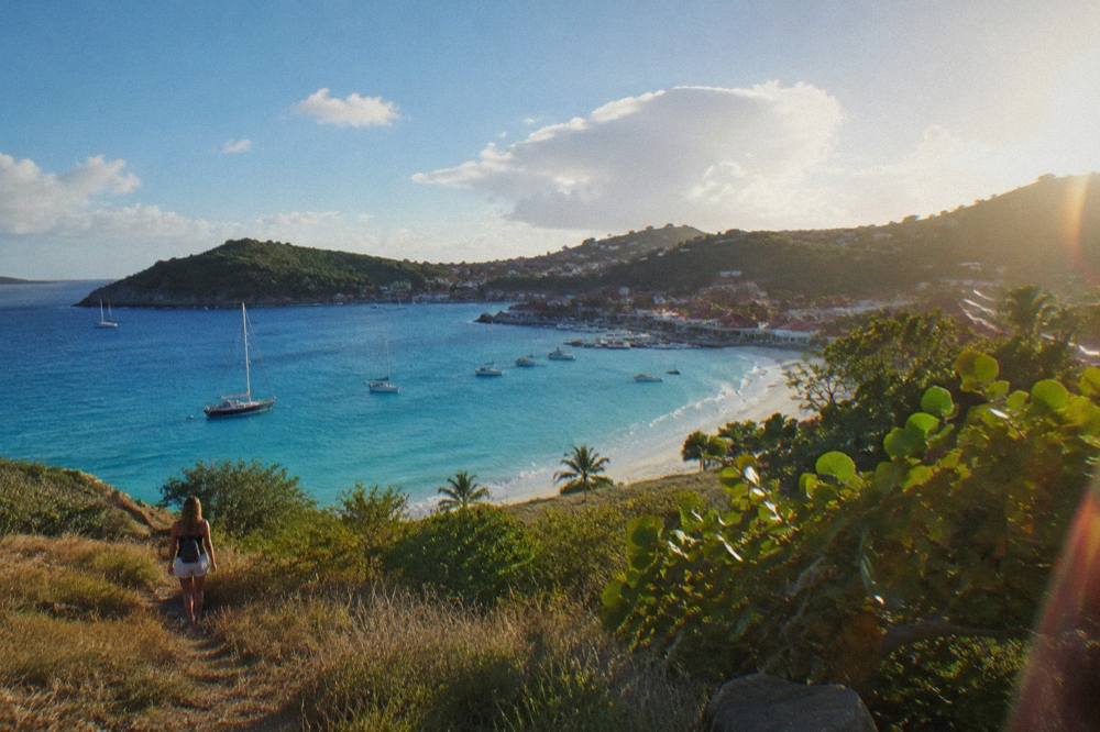
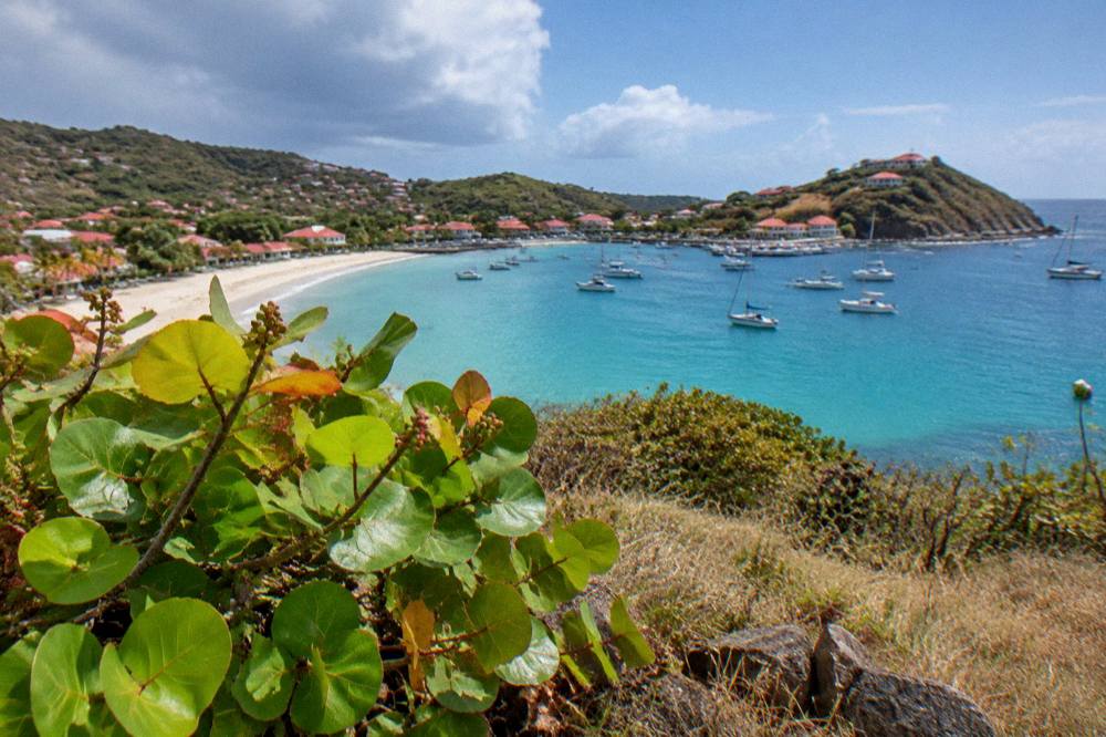
Yes, as coastline rather than a scheduled stop: the boat products listed here depart from St Martin or Sint Maarten and circle St Barts with calls at Gustavia, Colombier and Ile Fourchue, passing the island's south shore, where Saline sits, en route. Private charter options listed here allow the day's route to be set with the operator directly. No product listed here departs from St Barts itself, and none runs a Saline-specific landing.
The shape matters to planning. There are three kinds of product: a group sail and snorkel day, private day charters, and an overnight private catamaran. The group sail is the one per-person option, running 12 May to 31 August 2027 on its listing. The private day charters, including the 8-Hour Private Charter and the Private Charter from St Martin, are priced per group, and the overnight catamaran runs two days with one night aboard. Details, prices and ratings render in the blocks on this page and never in prose, per this site's rules.
The overnight option deserves a specific mention for this area: a catamaran anchored overnight in St Barts waters puts the island's coastline, this south coast included, in view at dawn and dusk, and the boat itself becomes the accommodation. Rules still apply aboard and at anchor, with the reserve's 5-knot zones, its mooring preferences and its 25-metre vessel limit in Colombier and Fourchue bays all listed on the environment agency's regulatory-zones page.
What Should You Know Before Planning A Saline Day?
Bring what you need, because the area offers nothing to buy: no beach club, no shop and no facility at Saline. The beach is public, dogs are banned from it, the sun is strong year-round on the Meteo-France normals, and a car, a taxi or a boat is the only realistic way in. Confirm any autumn visit against the island's seasonal closure pattern, and book any boat day well ahead in the winter months.
Packing for a south-coast beach day on a tropical island is common sense: sun protection, water, and shade, since nothing is rented or sold here. Electricity on the island uses plug types C and E, time is UTC minus 4 with no daylight saving, the currency is the euro, and French is the official language with English widely spoken, all of which matters more for the island-wide trip than for the beach itself. The St Barts packing list and St Barts essentials pages on this site cover the details, including the tourist tax, which is collected by accommodation providers rather than at any entry point.
The last planning point is the one this site repeats across every area guide: very little of what St Barthelemy Travel reports is specific to this stretch of coast, which is itself the area's character. Plan the beach, drive the Grand Fond lanes for the views, follow the reserve's rules at the waterline, and let the boat days, which all leave from St Martin or Sint Maarten, show the coast from the seaward side.
Common Questions About The Saline Area In St Barts
Is Saline beach public?
Yes. Every beach on St Barts is public, and Saline appears on the tourism committee's list of named public beaches alongside Saint-Jean, Gouverneur, Flamands, Colombier and the others.
Is Saline beach clothing optional?
Public nudity is not legal on public beaches in this French territory, though discretion at the far ends of some beaches is a known tradition reported in secondary sources. This site's dedicated answers page covers the question in detail without endorsing any rule-breaking.
Can you drive to Saline beach?
Yes, along the narrow, steep south-coast road from Gustavia, with the final stretch to the sand on foot over the dune line. Driving is on the right, and the island-wide limit is about 50 km/h, about 30 km/h in built-up areas.
Are there hotels at Saline or in Grand Fond?
No hotel stands at Saline, and Grand Fond is residential. The island's named hotels cluster in Gustavia, Saint-Jean, Flamands and Grand Cul-de-Sac, and the villa market covers the hills island-wide.
Can you take a boat tour to Saline?
No product listed here runs a Saline landing. The boat tours depart from St Martin or Sint Maarten and circle St Barts with stops at Gustavia, Colombier and Ile Fourchue, passing the south coast in view; private charters allow a route to be discussed with the operator.
Are dogs allowed on Saline beach?
No. A municipal order bans dogs from all beaches on St Barts, on or off leash, and the marine reserve's rules additionally prohibit dogs on reserve beaches and in the water.