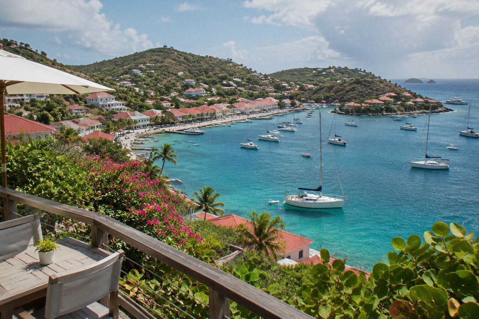
Toiny Coast And Anse Du Grand Fond
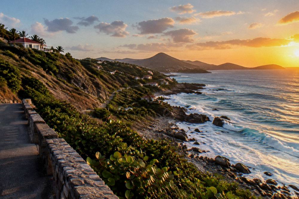
The Toiny coast is the wild southeastern edge of St Barthelemy, a stretch of green hills, red rocks and open Atlantic where the island shows its least developed face, anchored by Anse du Grand Fond below the Hotel Le Toiny ridge.
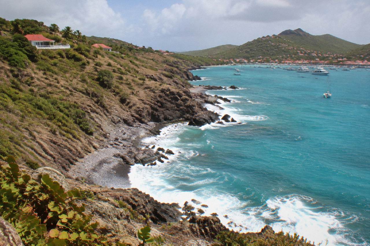
The Toiny coast is the southeastern shore of St Barts, reachable by road from Gustavia or Grand Cul-de-Sac. Anse du Grand Fond is the small bay below the ridge at Toiny; the beach there, Plage de Toiny, is public, like every beach on the island, and the area sits inside the marine reserve's wider protected waters.
St Barthelemy, a small French island in the Caribbean and an overseas collectivity of France since 2007, keeps its quietest corner in the southeast. The Toiny coast is that corner: a line of green hills and dark rock facing the open Atlantic, with Anse du Grand Fond as its central bay and the small public beach of Plage de Toiny at its foot. The tourism committee lists Toiny among the island's named public beaches, and that is essentially what the visitor needs to know: this is a natural stretch of coast, not a resort strip, and the island's planners have left it that way.
This page covers the coast as an attraction: where Anse du Grand Fond sits on the map, what the area around it contains, how the road reaches it, what the marine reserve rules mean for the water here, and how the coast fits into a wider St Barts itinerary. For the practical side of staying overnight in this part of the island, the Toiny area guide goes deeper into accommodation and services.
Where Is The Toiny Coast In St Barts?
The Toiny coast runs along the southeastern edge of St Barts, south of Grand Cul-de-Sac and east of Saline, with Anse du Grand Fond as the bay below the Toiny ridge on the island's Atlantic side. Plage de Toiny, the public beach listed by the tourism committee, sits at the head of that bay. The coast faces open ocean, away from the sheltered leeward shore where Gustavia and its harbour lie.
The island is small, about 21 square kilometres with roughly 10,700 residents, and the Toiny coast is one of the last stretches you reach driving out of the capital. The road leaves Gustavia, climbs over the central hills past Saline, and drops toward the sea at Toiny before looping back north to Grand Cul-de-Sac. That loop makes the coast a natural closing leg of a circuit of the island rather than a place you pass through by accident.
Anse du Grand Fond itself is the bay name. On its shore sits Plage de Toiny, which the island's tourism committee lists among the public beaches. Map position is the honest limit of what any guide should print about it: a southeast-facing bay below a residential ridge, with the Atlantic beyond. No lifeguard claim, no wave forecast and no facilities list belongs in print.
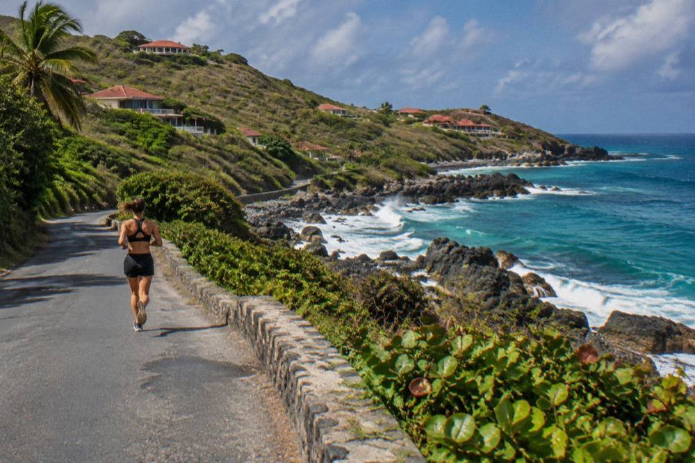
For context, here is where the named southeast-coast points sit relative to one another. The table gives names and map positions only.
| Point | Position On The Coast | Notes That Survive Verification |
|---|---|---|
| Saline | Northwest of Toiny, over the central ridge | Public beach, listed by the tourism committee |
| Anse du Grand Fond | The bay at Toiny, southeast-facing | Plage de Toiny lies on its shore |
| Plage de Toiny | Head of Anse du Grand Fond | Public beach, listed by the tourism committee |
| Grand Cul-de-Sac | North of Toiny along the loop road | Public beach, listed by the tourism committee |
| Petit Cul-de-Sac | Immediately south of Grand Cul-de-Sac | Public cove, listed among the island's beaches |
What Can You See Along Anse Du Grand Fond St Barts?
Along Anse du Grand Fond and the Toiny coast of St Barts the sights are natural ones: the bay itself, the public beach of Plage de Toiny, the rocky headlands north and south of it, and the open Atlantic horizon. The tourism committee lists no monument, museum or developed attraction here, and the ridge above carries residential villas and one hotel rather than sights.
That emptiness is the attraction. Where Gustavia offers harbour life and Fort Karl and Fort Gustaf, and where the north coast offers the airport spectacle described on the things to do in St Barts page, the southeast offers scenery with almost nothing built on it. The hills come down to the water in a way the busier parts of the island do not, and the coastline reads as the island's natural state.
The hotel on the ridge, Hotel Le Toiny, appears in this article by name and location only, and nothing beyond those belongs here: no rate, no rating, no amenity claim. Like the island's other hotels it follows the common seasonal pattern, closing for a stretch each autumn and reopening between mid-October and early November. Anyone planning a stay can check current status on the Hotel Le Toiny guide.
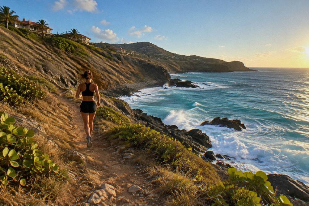
A sensible way to pair the coast with livelier stops is to combine it with the beaches to its north. The Grand Cul-de-Sac beach and the Grand Cul-de-Sac area guide cover that calmer, more built-up shore, which makes a strong contrast with Toiny's open-Atlantic character on the same drive.
The most rewarding way to see the southeast coast, though, is from the water. The boat tours below leave from St Martin or Sint Maarten and reach St Barts as a day trip, passing protected bays and mooring points on the way.
Each of these products departs from the St Martin side, never from St Barts itself, and every price, rating and duration shown renders from the operator's live listing data. The group sail runs on its listing from 12 May to 31 August 2027; the other two are private charters priced per group. More on each appears further down this page.
Is Plage De Toiny A Good Beach To Visit?
Plage de Toiny is a public beach at Anse du Grand Fond, open to everyone like all beaches on St Barts, but there is no lifeguard information, no facilities list and no description of its sand or surf. The honest summary is location and access: a southeast-facing public beach on the island's Atlantic side, reached by the Toiny road.
What can be said with confidence is structural. The tourism committee's beach list includes Toiny alongside Saint-Jean, Gouverneur, Saline, Shell Beach, Flamands, Colombier, Grand Cul-de-Sac, Lorient, Marigot and Corossol, and every one of them is public and free to access. That principle, all beaches public, is one of the defining facts of the island and applies fully at Anse du Grand Fond.
What cannot be said is everything else. Writers frequently attach wave, current and sand descriptions to Toiny from memory, and this page declines to do the same for sand, wave, current, lifeguard, facilities or parking at any beach on the island. A reader planning a swim should check conditions on the day, treat the Atlantic side with the respect an open ocean deserves, and keep the environment agency's rules in mind.
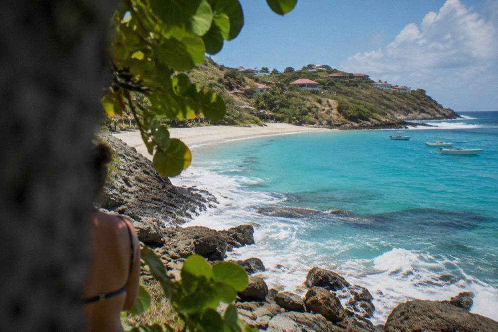
Those rules matter here more than at the sheltered beaches, because the waters around the island fall under the St Barts marine reserve. The environment agency's regulatory-zones page lists a 5-knot speed limit in its zones, a ban on jet skis and other motorized and electric water devices, 23 dive sites within the reserve, a ban on dogs on beaches and in the water, and a strict prohibition on touching, chasing or feeding protected species including sea turtles. Turtles are reported around the island's bays, and the agency asks that nests and sightings be reported to it directly.
The same agency prohibits collecting coral, shells, sand and rocks, and restricts drones near and within reserve zones without authorization. For a wild coast like Toiny's, the practical reading is simple: look, swim if conditions invite it, and take nothing away.
How Do You Get To The Toiny Coast Of St Barts?
You reach the Toiny coast by road from either direction of the island loop: over the ridge from the Saline side or along the shore from Grand Cul-de-Sac, on the narrow, steep and winding roads that characterize St Barts, driving on the right. No bus system serves the coast, and no journey time exists for that exact drive.
Driving on St Barts follows French rules. The speed limit runs about 50 km/h island-wide and about 30 km/h in populated areas such as Gustavia and Saint-Jean, with one roundabout near the airport and French right-of-way rules at unsigned intersections. The roads are narrow, hilly and winding, which is why small vehicles are the norm and why the rental counters at the airport, including Avis, Budget and Hertz alongside local agencies and Mini Moke specialists, skew toward compacts and open-top Mokes. The getting around question is covered in more detail in the area guide.
For visitors without a car, taxis exist on the island. The honest planning advice is that the southeast coast is the least walkable end of a small but steep island, and a vehicle, or a driver, is the practical way to reach it. Everything else covered here is indexed on St Barthelemy Travel.
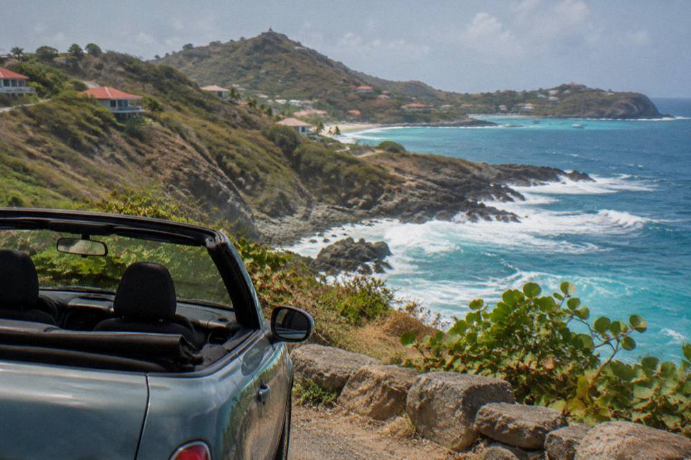
Here is how the island's beach and coast points group by shore, which is the fastest way to plan a drive that ends at Toiny. Names and map positions only.
| Shore Of St Barts | Named Public Beaches And Coasts | Character Supported By The Map |
|---|---|---|
| North shore | Flamands, Marigot, Anse des Cayes | Faces the channel toward Saint-Martin |
| East shore | Grand Cul-de-Sac, Petit Cul-de-Sac, Toiny | Sheltered lagoon side at north, open Atlantic at south |
| Southeast | Plage de Toiny at Anse du Grand Fond | The wildest end of the island's developed road network |
| South | Saline, Gouverneur | Hills close to the water, reached over the ridge |
| West near Gustavia | Shell Beach (Grand Galet) | Closest beach to the capital |
A full ranking of the coasts, with the same honesty about what can and cannot be claimed, sits on the beaches by coast guide.
When Is The Best Time Of Year For The Toiny Coast In St Barts?
The best time for the Toiny coast of St Barts depends on the trade you accept: December through April brings the drier, slightly cooler months of the island's high season, while May through July is warmer with marginally less rain in the normals, and the September to November period carries both the wettest months and the peak of the hurricane season, which runs 1 June to 30 November with its height mid-August to mid-October.
The Meteo-France normals for St Barthelemy, 1991-2020, give the frame. The mean daily high runs from 28.5 C in January to 31.7 C in September, the island is warm year-round, and total rainfall averages 891.3 mm a year. February is the month with the lowest rain total in the normals, 38.4 mm, and October the highest at 135.6 mm. The sea stays warm throughout, about 26 C in winter to about 29 C from August to October in rounded secondary figures.
| Month | Mean Daily High (C) | Mean Daily Low (C) | Rain (mm) |
|---|---|---|---|
| January | 28.5 | 23.5 | 52.6 |
| February | 28.6 | 23.3 | 38.4 |
| April | 29.8 | 24.2 | 50.9 |
| July | 31.2 | 26.0 | 80.4 |
| September | 31.7 | 26.2 | 96.9 |
| October | 31.4 | 25.8 | 135.6 |
| November | 29.9 | 25.0 | 118.6 |
Figures are Meteo-France climate normals, 1991-2020, for the St Barthelemy station. No forecast belongs in any of this: the hurricane season's dates are climatology, not prediction, and no source supports a claim that any particular month is calm, crowded or quiet at Toiny specifically.
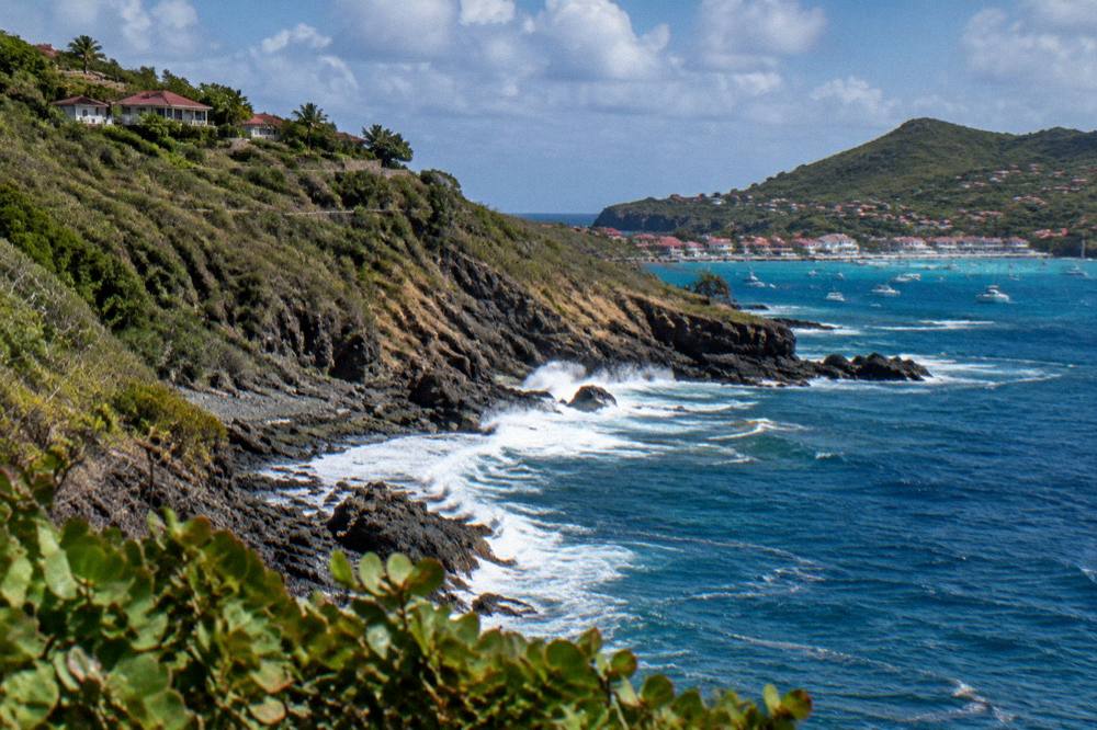
One seasonal fact matters to anyone pairing the coast with the island's sailing events. The St Barths Bucket Regatta takes place in mid-March, the Music Festival runs 8 to 18 January 2027, and the Gourmet Festival runs 9 to 15 November 2026. Beyond those, event dates for the 2027 season remain unconfirmed, and this page prints none.
Which Boat Tours Pass The St Barts Coast From St Martin?
Every bookable boat tour that visits St Barts departs from St Martin or Sint Maarten, and three fit a Toiny-focused trip: a group sail and snorkel tour that runs Gustavia, Colombier and Ile Fourchue, a Nikki Beach private charter, and a two-day one-night private catamaran that overnights at St Barts. All three are day or overnight trips from the Dutch or French side, none starts on St Barts, and prices, ratings and durations render from each operator's live listing data.
The group sail, the one per-person product listed here, runs on its listing from 12 May to 31 August 2027 and visits Gustavia, Colombier Beach and Ile Fourchue across a full day on the water. Because the reserve's 5-knot zones and its 23 dive sites shape where boats can go and how fast, the sailing routes concentrate on the protected bays, and the southeast coast is seen as scenery along the way rather than a mooring point.
The private alternatives suit travellers who want the same waters on their own schedule. The Nikki Beach charter runs from Sint Maarten to St Barts with a beach-club stop, and the overnight catamaran gives the island a night rather than an afternoon, with the anchorages chosen by the skipper within the reserve's rules.
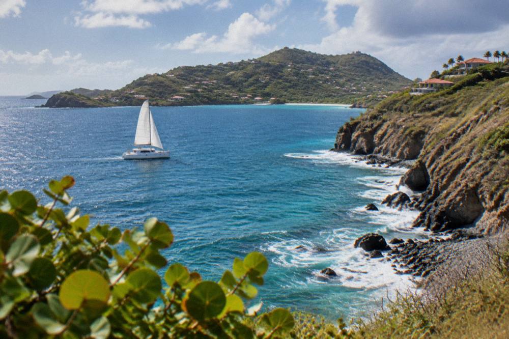
For the overnight option, the boat becomes the accommodation, which sidesteps the island's autumn hotel closures entirely: villas and boats remain available when the hotels take their annual break.
How Does The Toiny Coast Fit Into A St Barts Itinerary?
The Toiny coast fits a St Barts itinerary as the southeastern turn of the island loop: pair it with Saline and Gouverneur on the southern leg, or with Grand Cul-de-Sac and Petit Cul-de-Sac on the eastern leg, and close the loop back through Lorient or Saint-Jean toward Gustavia. A half day covers the coast by car at an unhurried pace, and a full day lets you add a swim stop and lunch in Gustavia before returning.
The logic is geographic. The island's roads form a rough ring around the central hills, and Toiny sits on the ring's far side, so every sensible route either saves it for last or reaches it first thing and works back. Combining it with the Saline beach and the Saline area guide makes a quiet south-and-east day; combining it with Grand Cul-de-Sac and the northeast's Anse des Cayes spreads the drive across a fuller circuit.
Here is how a sample day allocates, using names and sequence rather than the times no source verifies.
| Leg Of The Day | Stops On The Loop | What The Map Supports |
|---|---|---|
| Morning south | Gustavia, then over the ridge to Saline | Harbour town to hills to a public beach |
| Midday southeast | Gouverneur viewpoint road, then Plage de Toiny | Two public beaches over the southern hills |
| Afternoon east | Grand Cul-de-Sac, Petit Cul-de-Sac | Sheltered lagoon shore north of Toiny |
| Late afternoon north | Lorient, Saint-Jean | Public beaches on the return toward the airport side |
| Evening | Back to Gustavia | Harbour, dinner and the island's shops |
Readers building longer stays will find the sequencing already worked out on the things to do in St Barts page, and the contrast between shores on the beaches by coast guide. The one thing no itinerary should promise is a walking tour: no guided or free walking product is listed here, and the coast's enjoyment is either by road or by sea.
Common Questions About The Toiny Coast Of St Barts
Is Anse du Grand Fond St Barts worth visiting?
Anse du Grand Fond is worth visiting for its wild, undeveloped character: it is the southeastern edge of St Barts, facing the open Atlantic, with the public beach of Plage de Toiny at its head. Facilities, surf conditions and lifeguards are unknown there, so go for the scenery and the quiet rather than for amenities.
Can you swim at Plage de Toiny?
Plage de Toiny is a public beach and swimming is not prohibited. The beach faces the open Atlantic on the island's southeast side. Check conditions on the day and treat an open-ocean shore with ordinary caution.
How do you get to the Toiny coast?
By road, driving on the right, via either the Saline side over the ridge or the Grand Cul-de-Sac side along the eastern shore. Roads on St Barts are narrow, steep and winding. There is no fixed journey time for the drive and no bus service reaches the coast, so a rental car, a Mini Moke or a driver is the practical answer.
Are there hotels on the Toiny coast?
Yes, Hotel Le Toiny sits on the ridge above Anse du Grand Fond. No rate, rating or amenity claim is made. Like many St Barts hotels it closes for a stretch each autumn and reopens between mid-October and early November as a seasonal pattern.
Do the marine reserve rules apply at Anse du Grand Fond?
The St Barts marine reserve covers the island's surrounding waters, and the environment agency's regulatory-zones page lists a 5-knot speed limit in its zones, a jet-ski ban, 23 dive sites, no dogs on beaches and no touching of protected species such as sea turtles. No collecting of coral, shells or sand is allowed, and drones are restricted near reserve zones without authorization.
Can you visit the Toiny coast by boat tour?
Boat tours of St Barts depart from St Martin or Sint Maarten, not from the island itself, and they concentrate on the protected bays such as Colombier and Ile Fourchue within the reserve. The Toiny coast is generally seen as scenery along the way. The options listed here are a group sail and two private charters, all bookable from the Dutch or French side.
The Toiny coast will never be the loudest reason to visit St Barts, and that is exactly its value: a green headland, an open horizon and a public beach that the island has left alone. Pair it with the boat trips that show the same coastline from the water, and the southeast stops being the far end of the map and becomes the best finish to the drive.