Beaches Of St Barts By Coast
St Barthelemy, the small French Caribbean island usually written St Barts, packs about a dozen public beaches into about 21 square kilometres, and each coast has its own character. This guide walks the island shore by shore.
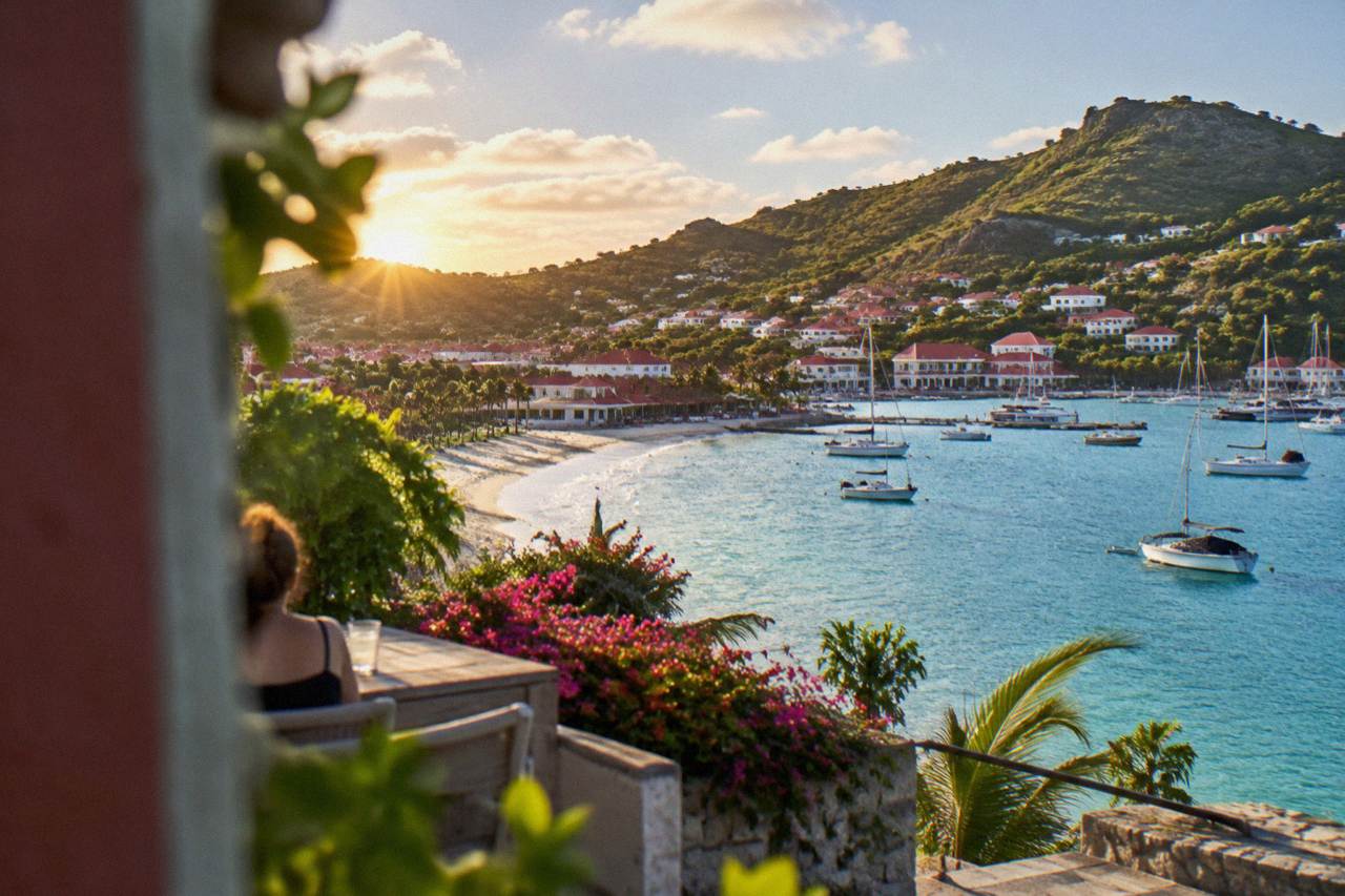
St Barts has eleven named public beaches, all public and free to access, and every one is reachable by road except Colombier, which is reached by boat or by a walk. All are public and free to access, and every one is reachable by road except Colombier, which is reached by boat or by a walk.
St Barthelemy, usually written St Barts, is a French overseas collectivity in the Caribbean with about 10,700 residents, a harbour capital at Gustavia, and a coastline of small bays that all face different water. Because the island is only about 21 square kilometres of hills, a beach on the windward east coast sits in a completely different world of swell and sky from a beach on the lee shore a ten-minute drive away. The island's own tourism committee describes all of its beaches as public and free to access, which is unusual in the Caribbean and shapes the whole beach culture here. This guide organises every named beach by coast, because on an island this small, the coast you choose matters more than the beach you pick.
Which Beaches In St Barts Sit On Which Coast?
St Barts has eleven named public beaches arranged around four coasts: the north shore holds Saint-Jean, Lorient and Grand Cul-de-Sac; the south coast holds Gouverneur and Saline; the west holds Flamands, Corossol and Shell Beach by Gustavia; and the east holds Toiny, Marigot and the small cove of Anse des Cayes, with Colombier tucked on the northwest tip reachable by boat or on foot. All are public, according to the island's tourism committee. No beach on the island is private or ticketed.
The coasts are short. Gustavia sits on the west, and from the harbour the road climbs over the central ridge and drops into Saint-Jean on the north side in a matter of minutes, passing the runway of Gustaf III Airport on the way, an airport famous enough that the landing at St Barts airport is itself a visitor attraction. The list below maps each named beach to its coast and its access reality, using only what names and the map support.
| Coast | Beaches | Access by road |
|---|---|---|
| North shore | Saint-Jean, Lorient, Grand Cul-de-Sac | Yes, all three |
| Northwest tip | Colombier | No, by boat or by a walk only |
| South coast | Gouverneur, Saline | Yes, both |
| West coast | Flamands, Corossol, Shell Beach (Grand Galet) | Yes, all three |
| East coast | Toiny, Marigot, Anse des Cayes | Yes, all three |
If you are counting, the question of how many beaches are in St Barts usually gets the answer "eleven named, more in coves", and the question of access always gets the same answer: yes, they are public, as covered in detail on are there public beaches in St Barts. What the map does not tell you is which coast suits which kind of day, and that is where the geography earns its keep.
A word on how people actually arrive at these shores. Travellers reach St Barts through St Martin, either on a small STOL turboprop into Gustaf III Airport or on one of two scheduled ferries, as explained in the guide to how to get to St Barts. The St Barts ferry operators and schedule page covers the two operators, Great Bay Express from Philipsburg and Voyager from Marigot, both with crossings of about 45 to 60 minutes that can be rough depending on conditions. Once on the island, a rental car is the practical way to sample more than one coast in a day; the St Barts car rental guide covers the counters at the airport and the Mini Moke option.
What Makes The North Shore Beaches Of St Barts Distinct?
The north shore of St Barts gathers Saint-Jean, Lorient and Grand Cul-de-Sac into a chain of bays that face the channel toward Saint Martin, with the airport runway ending at the sand of Saint-Jean itself, and the road stringing them together along the water. The tourism committee lists each of these as public. Grand Cul-de-Sac sits at the island's northeast corner, where the marine reserve's lagoon rules apply, and green and hawksbill turtles are common in its waters according to the environment agency.
Saint-Jean is the bay people photograph: the runway of Gustaf III Airport crosses its eastern edge, and the details of that unusual arrangement fill the St Barts airport guide and the page on the St Barts airport code. Lorient, west of Saint-Jean, wraps a village of the same name; the Lorient area guide covers the settlement behind the sand. Grand Cul-de-Sac, the long curve at the northeast, is one of the island's two sites the environment agency names for resident turtles, alongside Colombier.
The lagoon at Grand Cul-de-Sac falls inside the marine reserve's regulated zones, which changes what you may do in the water there. The environment agency's regulatory-zones page lists the core rules that apply across all five of its zones.
| Marine reserve rule | Applies at |
|---|---|
| 5-knot speed limit on the water | All reserve zones, including Colombier Bay and Fourchue |
| No touching, chasing or feeding turtles, corals or rays | All zones, lagoon at Grand Cul-de-Sac included |
| No dogs on beaches or in the water | Reserve areas |
| No jet skis, seabobs or towed sports | All reserve zones |
| No collecting coral, shells or sand | All zones |
The north shore is also the coast most people see first, because the airport sits on it. If your planning question is the broader one of matching a beach to a traveller, the St Barts beach guide best for page does that matching in detail, and the Grand Cul-de-Sac area guide covers the turtle lagoon's neighbourhood.
Why Do The South Coast Beaches Of St Barts Feel Different?
The south coast of St Barts holds Gouverneur and Saline, two wide bays that face open water toward the south, reached by roads that climb over the island's central spine and drop steeply to the sand. Both are public, both sit inside a stretch of coast with no settlement between them, and both appear on the environment agency's turtle pages as nesting habitat, which is why dogs are banned and lights are discouraged near the sand at night.
Gouverneur sits west of Saline in a cove ringed by hills. Saline, French name Anse de Grande Saline, lies behind a ridge from the salt pond that gives it its name. Neither bay has anything on its sand that the map does not show, and that emptiness is the point: the south coast is where the island keeps its broadest stretches of unbroken shoreline. The Saline area guide covers the low-key inland stretch behind the pond.
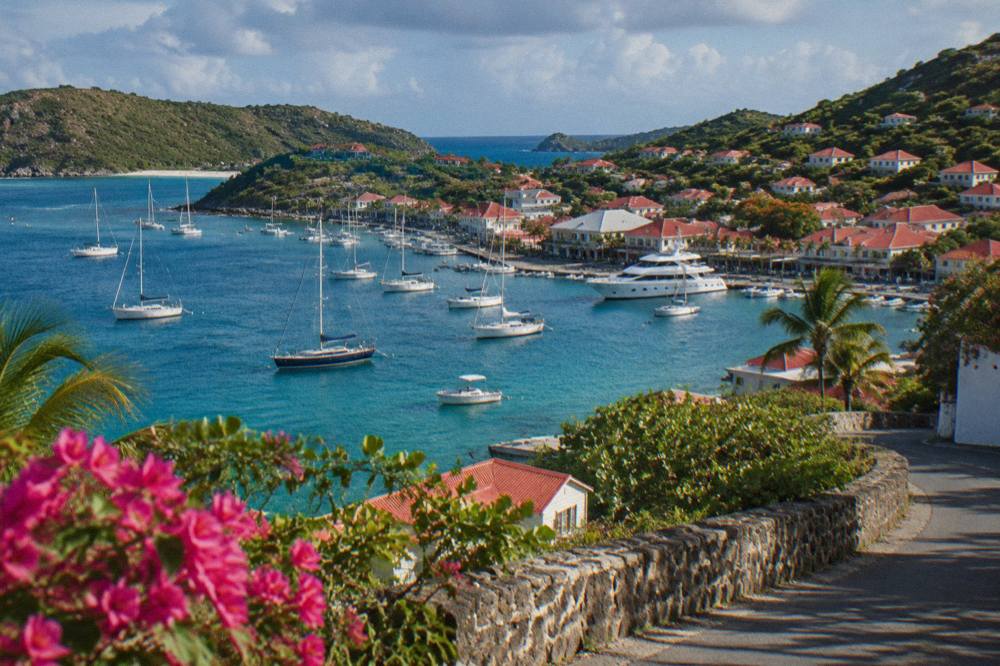
Because both beaches are nesting areas, the environment agency asks visitors to reduce light and noise near them and to report turtle nests or sightings to its local number. That request, plus the ban on touching turtles and the ban on dogs, is the whole etiquette of the south coast, and it costs nothing to follow. The turtle story extends around the island and is told at length on the St Barts sea turtles page.
A practical note on planning: the south coast faces the prevailing swell direction, and conditions vary day to day with the weather. The island's climate, per Meteo-France normals 1991-2020, stays warm year round, with a mean daily high from 28.5 C in January to 31.7 C in September, so the decision is rarely about warmth; it is about which coast holds the calmer water on the day you go. The monthly picture sits in the table below.
| Month | Mean daily high (C) | Mean daily low (C) | Rain (mm) |
|---|---|---|---|
| Jan | 28.5 | 23.5 | 52.6 |
| Feb | 28.6 | 23.3 | 38.4 |
| Mar | 29.0 | 23.5 | 41.4 |
| Apr | 29.8 | 24.2 | 50.9 |
| May | 30.7 | 25.1 | 61.7 |
| Jun | 31.2 | 25.9 | 56.0 |
| Jul | 31.2 | 26.0 | 80.4 |
| Aug | 31.6 | 26.3 | 79.6 |
| Sep | 31.7 | 26.2 | 96.9 |
| Oct | 31.4 | 25.8 | 135.6 |
| Nov | 29.9 | 25.0 | 118.6 |
| Dec | 28.9 | 24.1 | 79.2 |
The same normals table shows October as the wettest month at 135.6 mm and February the least rainy at 38.4 mm, figures from Meteo-France normals, 1991-2020, for the island's Gustavia-area station. Hurricane season runs 1 June to 30 November with its peak from mid-August to mid-October.
What Will You Find On The West Coast Beaches Around Gustavia?
The west coast of St Barts puts three beaches within easy reach of the harbour capital: Flamands north of town, Corossol west of it, and Shell Beach, French name Grand Galet, a short walk out of Gustavia itself. All three are public, all are road-served, and Shell Beach's closeness to the capital makes it the default shore for anyone staying in town, while Flamands anchors its own hillside neighbourhood on the northwest side of the island.
Shell Beach sits on the point south of Gustavia's harbour, close enough that a morning swim between shopping stops is realistic; the Gustavia shopping page covers the town at the other end of the walk, and the harbour itself is covered in the Gustavia harbor guide. Corossol, west of the capital, fronts the island's most traditional village; the Corossol beach and village page covers the pair, and the Corossol area guide the streets behind.
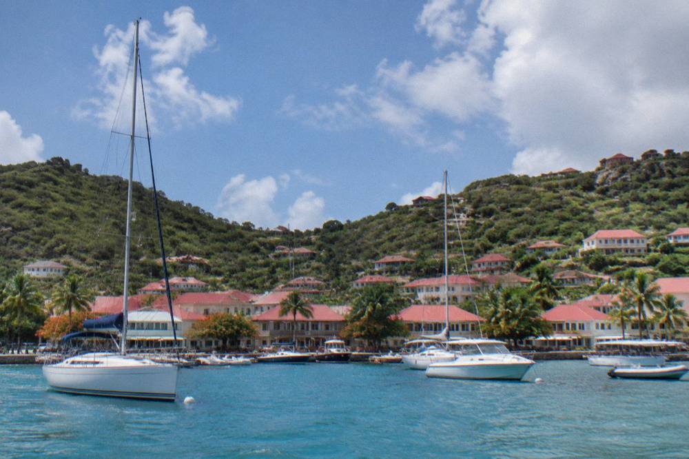
Flamands is the longest road journey of the three but still a short drive, climbing over the shoulder of the island and dropping to the bay on the northwestern shore. The Flamands area guide and the Flamands beach page cover the neighbourhood and its sand. What the west coast offers structurally is proximity: three public beaches within a small arc of the capital, each with its own village economy behind it.
For travellers arriving by sea rather than air, the west coast is also the arrival coast. Cruise passengers tender into Gustavia, there being no cruise pier, a situation the St Barts cruise port guide explains, and the ferries from St Martin dock at the quay in town. A tender passenger with a free afternoon typically walks to Shell Beach first; that is the map talking, not a recommendation.
| West coast beach | Direction from Gustavia | Settlement behind it |
|---|---|---|
| Flamands | North, over the ridge | Flamands village |
| Corossol | West | Corossol village |
| Shell Beach (Grand Galet) | South, on the point | Gustavia |
What Should You Expect From The East Coast And Toiny?
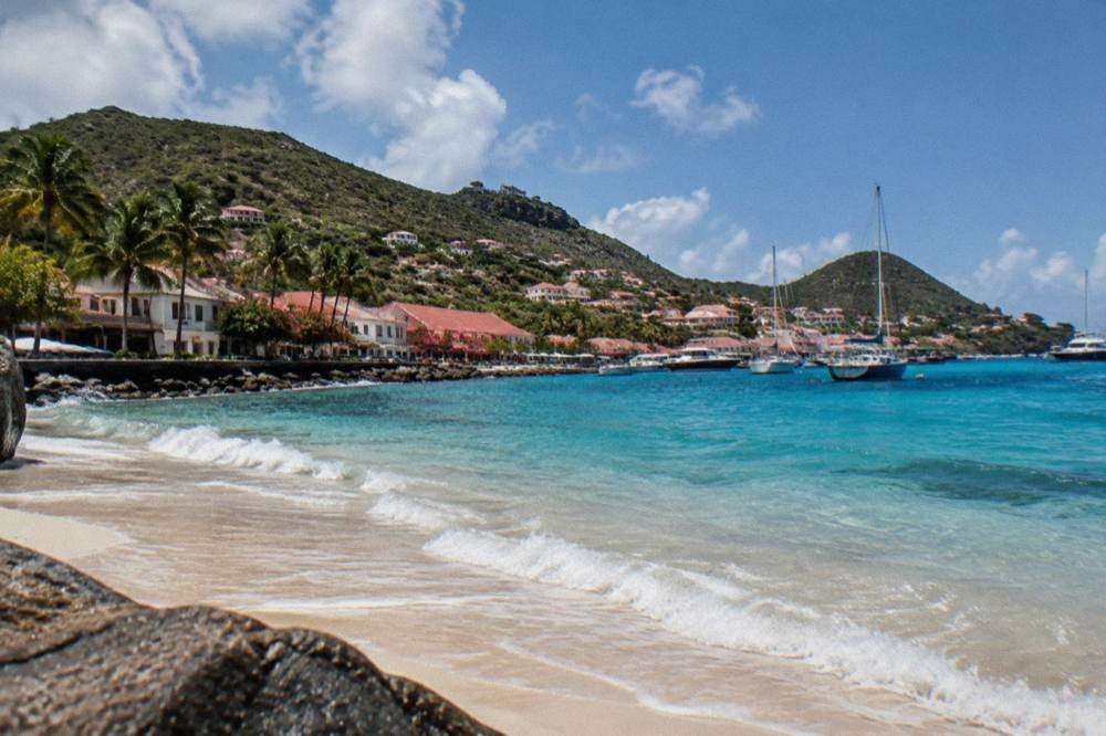
The east coast of St Barts, Toiny, Marigot and Anse des Cayes, faces the open Atlantic, sits below the island's quieter southeastern hills, and keeps the lowest profile of any coast: all three are public, all are road-served, and all sit in residential areas with no town behind them. The environment agency's reserve pages do not list either beach inside its regulated zones, so the general island-wide rules apply, including the municipal ban on dogs on every beach on St Barts.
Toiny, French name Anse de Toiny, sits at the southeast in front of the Toiny coast stretch and the Toiny area guide neighbourhood. Anse des Cayes holds the island's northeast-facing shore below its own low headland; the Anse des Cayes page covers the bay. The east coast is where the island turns its back on the channel and faces weather arriving from open water, which is why conditions here vary more from day to day than on any other coast.
The dog ban deserves its own sentence because it surprises travellers with pets: a municipal order prohibits dogs on all beaches island-wide, even on a leash, and the environment agency posts signs at beach entrances explaining the wildlife reasoning. The island's pet logistics, including this rule's practical effect on planning, sit on the St Barts pet travel page. That is one of the few beach rules on St Barts that applies everywhere rather than in reserve zones.
The east coast also holds the island's small surf story, which is told on the St Barts surfing page, and it is the coast you see last on a clockwise drive of the island, a loop that the St Barts neighborhoods map renders visually.
How Do You Reach Colombier, The Beach With No Road?
Colombier, on the northwest tip of St Barts, is the island's one named beach with no road access, reached either by a walk over the headland from Flamands or by boat, and it sits inside the marine reserve's regulated zone, which imposes the 5-knot speed limit on arriving vessels, a ban on anchoring outside permitted arrangements, and a 25-metre vessel-length ceiling in the bay. The environment agency's regulatory-zones page lists these rules for both Colombier Bay and nearby Ile Fourchue.
The walk exists and is described, without times or lengths, on the Colombier hike page; the hiking trails guide places it among the island's paths. The beach itself has its own page at Colombier beach, and the reserve whose rules shape the bay is covered on the St Barts nature reserve page. Turtles are common in the bay's waters, the environment agency states, and the no-touching rule applies there as it does at Grand Cul-de-Sac.
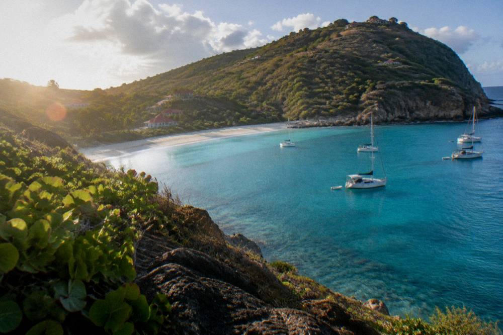
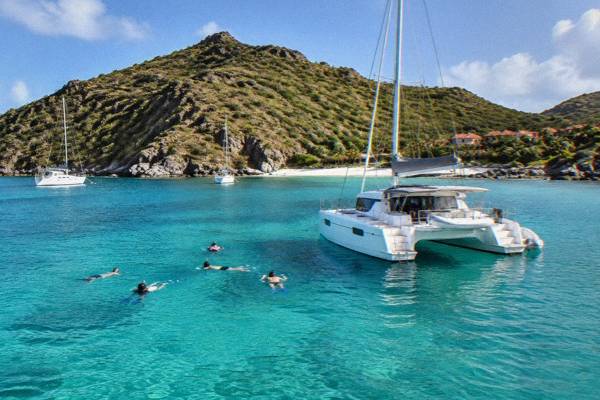
Because Colombier and Ile Fourchue are boat destinations, they anchor the sailing side of the island's beach life. The group sail that this site features, the Gustavia, Colombier Beach and Ile Fourchue tour, departs from St Martin or Sint Maarten and runs to both bays with Gustavia, and it is the one per-person option, running 12 May to 31 August 2027 on its listing. A the operator's listing link shows the operator's live listing. Private alternatives leave from the same St Martin side, and the strongest fit for a full day across several coasts is shown below.
The reserve's zone rules sum up neatly, and the table below restates them as they apply to a boat day on the northwest coast.
| Rule for vessels | Colombier and Ile Fourchue |
|---|---|
| Speed inside the zone | 5 knots maximum |
| Vessels over 25 m | Not permitted in the bays |
| Anchoring | Restricted, ecological mooring buoys preferred |
| Mooring duration | Limited, with a stated maximum in hours on the agency page |
| Drones | Prohibited without authorization in and near the reserve |
Which Coast Of St Barts Should You Choose For Your Trip?
Choosing a coast on St Barts is a choice of daily rhythm rather than scenery ranking: the north shore puts you beside the airport, the villages and the turtle lagoon; the south coast trades convenience for open shoreline; the west stacks three beaches beside the capital; and the east suits travellers who want the quiet residential side. No coast is closed, gated or private, and all eleven named beaches are free.
The honest planning frame is time. A stay built around the things to do in St Barts beyond the sand, shopping in Gustavia, the St Barts shopping scene, a wedding as covered on the St Barts weddings page, or the St Barts New Year's Eve period, argues for the west coast's proximity to town. A stay built around long beach days argues for the south or the east. Travelers matching a beach to snorkeling should start at the best snorkeling beaches on St Barts from land page, and those with questions about dress on the sand can read the careful treatment on the St Barts nude beaches guide.
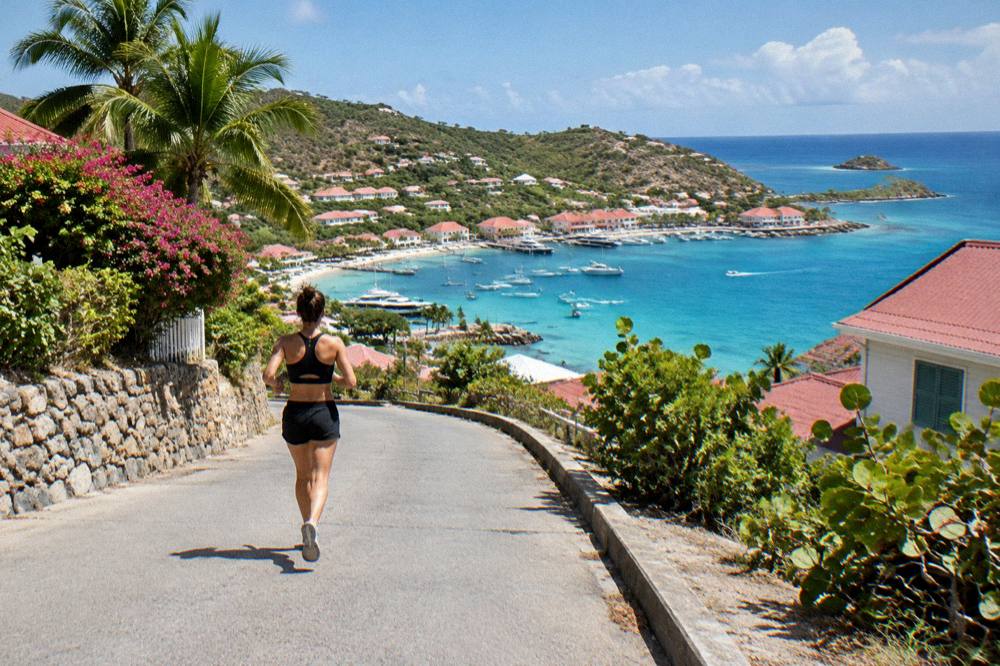
Season shapes the choice less than you might expect and more than you might hope. Meteo-France normals, 1991-2020, show the island warm in every month, and the sea stays warm year round, about 26 C in winter to about 29 C from August to October. What changes is rain: October averages 135.6 mm and November 118.6 mm, against February's 38.4 mm, and the autumn overlap with hurricane season, 1 June to 30 November, is also when many hotels and restaurants close and reopen between mid-October and early November. The trade-off for an autumn trip is quiet shores; the trade-off for a winter trip is everything open.
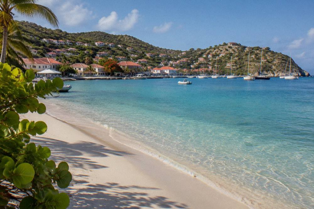
The comparative table below compresses the coasts into the practical columns a planner actually uses. Nothing in it ranks beauty, because beauty cannot be ranked, and this guide will not rank it either.
| Coast | Beaches | Best suited to | Reachable without a car |
|---|---|---|---|
| North | Saint-Jean, Lorient, Grand Cul-de-Sac | First visits, turtle lagoon, village life | Partly, with taxis |
| South | Gouverneur, Saline | Long uncrowded shorelines | No |
| West | Flamands, Corossol, Shell Beach | Gustavia-based stays, tender arrivals | Yes, Shell Beach by foot |
| East | Toiny, Marigot, Anse des Cayes | Quiet residential stretches, surf conditions | No |
| Northwest tip | Colombier | Boat days and walkers | No, boat or walk only |
Can You See Several Coasts Of St Barts In One Day?
Yes, one day is enough to touch every coast of St Barts by car, since the island spans about 21 square kilometres and every named beach except Colombier sits on the road network, but a single day compresses what the island does best, which is slow time on one shore. The alternative is to see the coasts from the water, on a boat day from St Martin calling at Gustavia, Colombier and Ile Fourchue in sequence.
To drive that loop at your own pace, book a rental car.
The pace question is covered page by page in this site's itinerary set, from the St Barts long weekend and St Barts in 3 days plans through the St Barts one week itinerary and the dedicated St Barts beach hopping itinerary, which is the natural companion to this guide. First-timers get their own St Barts first-timer itinerary, and families a matching family itinerary.
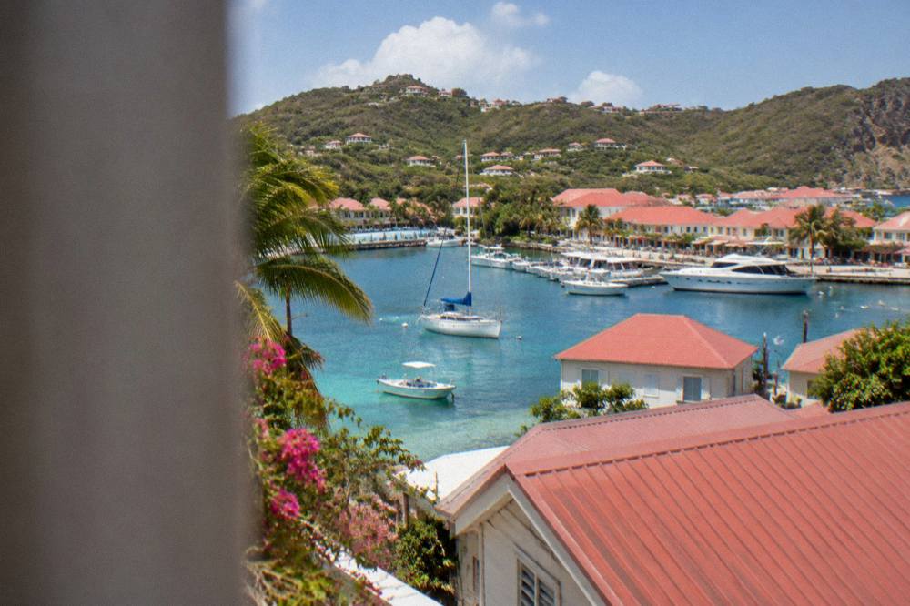
Seeing the coasts from the water changes the geometry entirely. From a boat, the eleven beaches read as one continuous shoreline, the reserve's five zones appear as the marked bays they are, and Colombier and Ile Fourchue, the two shores no road reaches, become the easiest stops of the day rather than the hardest. Every bookable boat trip listed here departs from the St Martin or Sint Maarten side and visits St Barts, never the reverse, and the options below show the range.
For travellers flying into St Martin to catch one of those boats, the SXM airport to St Barts ferry guide handles the connection, and the flights to St Barts page the airborne alternative, including flying to St Barts from the US via Winair and the St Martin hop, or the longer flights from Miami to St Barts routing. However you arrive, the coasts will be waiting, public, free and arranged, as they have been since the sea put them there, one to each side of a very small island.
Common Questions About Beaches In St Barts
Are all beaches in St Barts public?
Yes. The island's tourism committee describes all of its named beaches as public and free to access, from Saint-Jean and Grand Cul-de-Sac on the north shore to Gouverneur, Saline, Flamands, Toiny and Shell Beach. There are no private or gated beaches on St Barts.
How many beaches are in St Barts?
The island has eleven named public beaches: Saint-Jean, Gouverneur, Saline, Shell Beach (Grand Galet), Flamands, Colombier, Grand Cul-de-Sac, Lorient, Toiny, Marigot and Corossol, plus smaller public coves such as Anse des Cayes.
Which coast of St Barts has the best beaches?
No source ranks the island's beaches, and this guide does not either. The practical differences are structural: the north shore gathers the villages and the turtle lagoon, the south coast holds the broadest open shoreline, the west stacks three beaches beside Gustavia, and the east is the quiet residential side.
Can you walk to Colombier Beach?
Yes. Colombier is reached by a walk over the headland or by boat; it is the one named beach on St Barts with no road access. The bay sits inside the marine reserve, so the 5-knot limit and the no-touching rules for turtles apply in the water.
Are dogs allowed on beaches in St Barts?
No. A municipal order prohibits dogs on all beaches island-wide, even on a leash, and the environment agency posts signs at beach entrances. The rule protects wildlife including nesting turtles and shore birds.
Which St Barts beaches can you reach without a car?
Shell Beach is a short walk from Gustavia, so harbour and tender visitors reach it on foot. The other beaches are spread along the road network and are normally reached by car or taxi; Colombier is reached by boat or on foot only.