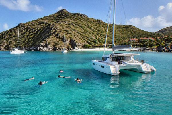
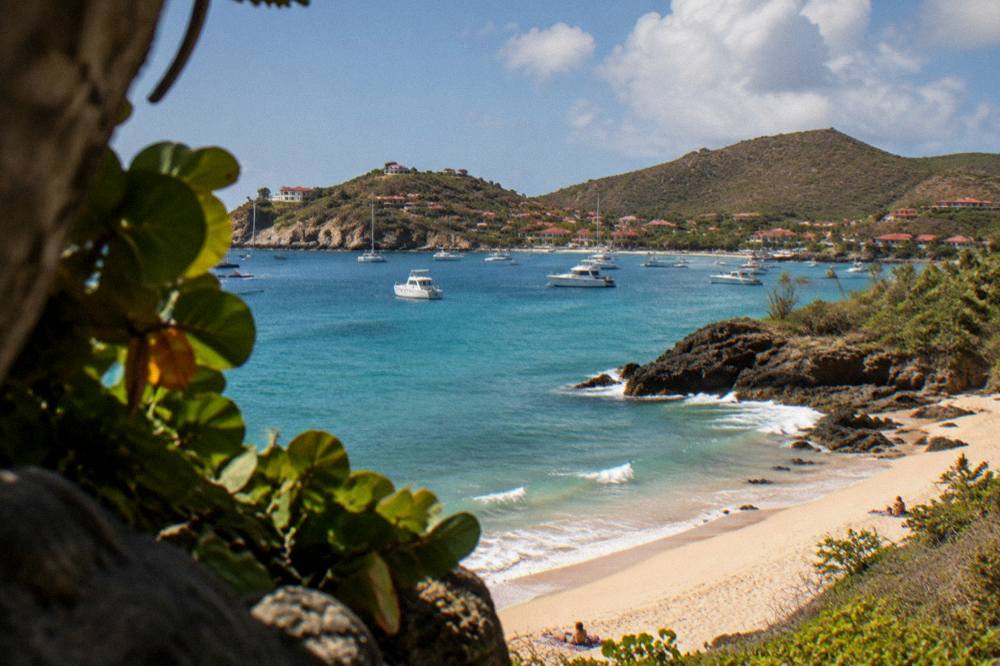
Anse Des Cayes, The Surf Beach
Anse des Cayes is one of the public beaches of St Barthelemy, the small French island in the Caribbean, sitting on the north shore of the island between Saint-Jean and Lorient. This guide covers its map position, how to reach it, the rules that apply on every St Barts beach, and the boat trips from St Martin that pass the island's coasts.
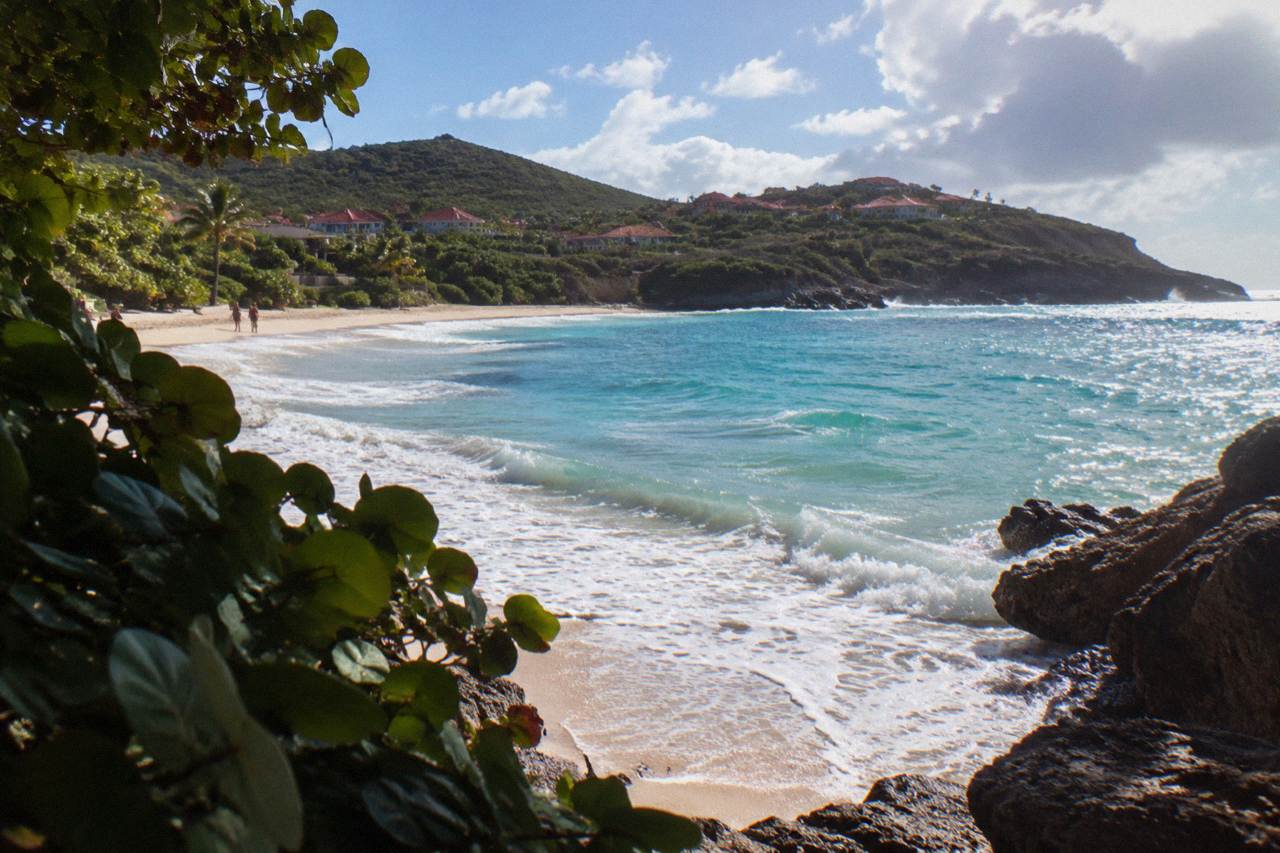
Anse des Cayes is a public beach on the north shore of St Barts, between Saint-Jean and Lorient. It appears in the tourism committee's beach list, sits a short drive from Gustavia, and is free to access like every beach on the island.
This page from the St Barthelemy Travel editorial desk sets out the beach's position, how the island's road network reaches it, the marine reserve and municipal rules that apply to visitors, and the boat trips from St Martin that give a second view of the island's coasts.
Where Is Anse Des Cayes In St Barts?
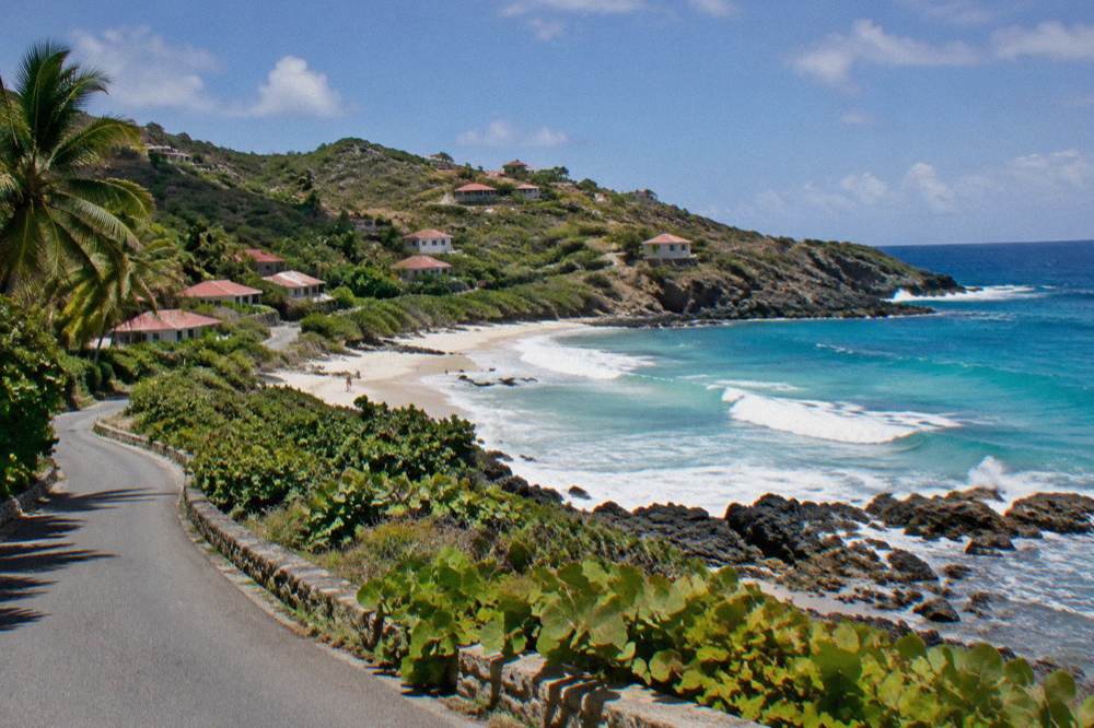
Anse des Cayes sits on the north shore of St Barts, between Saint-Jean and Lorient on the island's map, a short drive east of the airport at Saint-Jean and roughly opposite the hills that separate the coast from the interior. The tourism committee's beach list includes it, and like all beaches on the island it is public and free to access. No ferry, no ticket and no club membership is needed to set foot on it.
St Barts is small, about 21 square kilometres, and the island's road network threads along its coasts with one principal route connecting Gustavia to Saint-Jean, Lorient and the eastern bays. Anse des Cayes sits just off that corridor, which is why it works as a stop on almost any north-shore day of driving. The island's geography is simple to hold in your head: Gustavia and its harbour on the west, the airport at Saint-Jean in the middle of the north shore, then Lorient, and the big calm bays of Grand Cul-de-Sac and Toiny on the east. Anse des Cayes belongs to the north-shore group, facing the open Atlantic side of the island rather than the sheltered leeward bays near the capital.
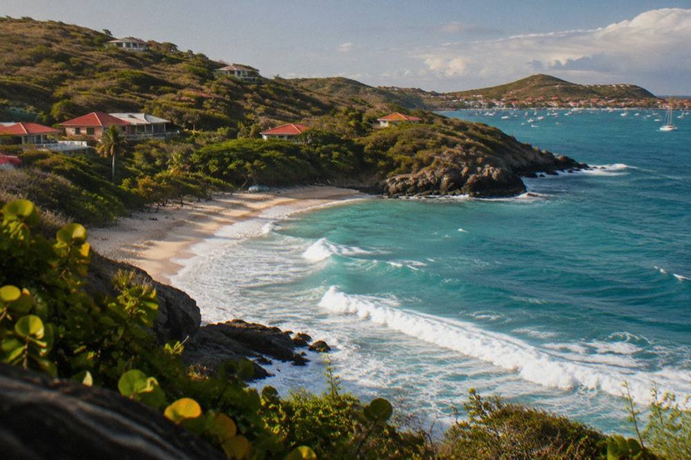
For context, here is where the named public beaches of St Barts sit relative to each other. The tourism committee's homepage lists them all as public.
| Beach | Side of the island | Nearest notable point |
|---|---|---|
| Anse des Cayes | North shore | Between Saint-Jean and Lorient |
| Saint-Jean | North shore | Gustaf III Airport |
| Lorient | North shore | Lorient village |
| Grand Cul-de-Sac | East shore | Le Barthelemy area |
| Toiny | Southeast shore | Anse de Toiny |
| Flamands | Northwest shore | Cheval Blanc area |
| Corossol | West shore | Corossol village |
| Shell Beach (Grand Galet) | West shore | Walkable from Gustavia |
| Gouverneur | South shore | South of Gustavia |
| Saline | South shore | East of Gouverneur |
| Colombier | Northwest tip | Reached by boat or on foot |
| Marigot | East side | Near Grand Cul-de-Sac |
The north shore group, Anse des Cayes included, is covered in more detail in the Anse des Cayes area guide, which describes the neighbourhood around the beach.
What Can You Say About Anse Des Cayes Beach Itself?
The honest answer is that only the essentials are certain: Anse des Cayes is a named public beach on the tourism committee's list, free to access, on the island's north shore. No lifeguard service, no facilities inventory, no sand description and no wave or current assessment is certain. The name and the map position are what is certain.
That restraint is deliberate. St Barts beaches attract a lot of descriptive copy online, much of it recycled between sites, and the claims do not trace back to official pages. What does trace back is this: the tourism committee treats every beach on the island as public, the territorial environment agency regulates behaviour on and around them, and the municipal order on dogs applies island-wide. Those three facts shape a visit to Anse des Cayes more than any adjective would.
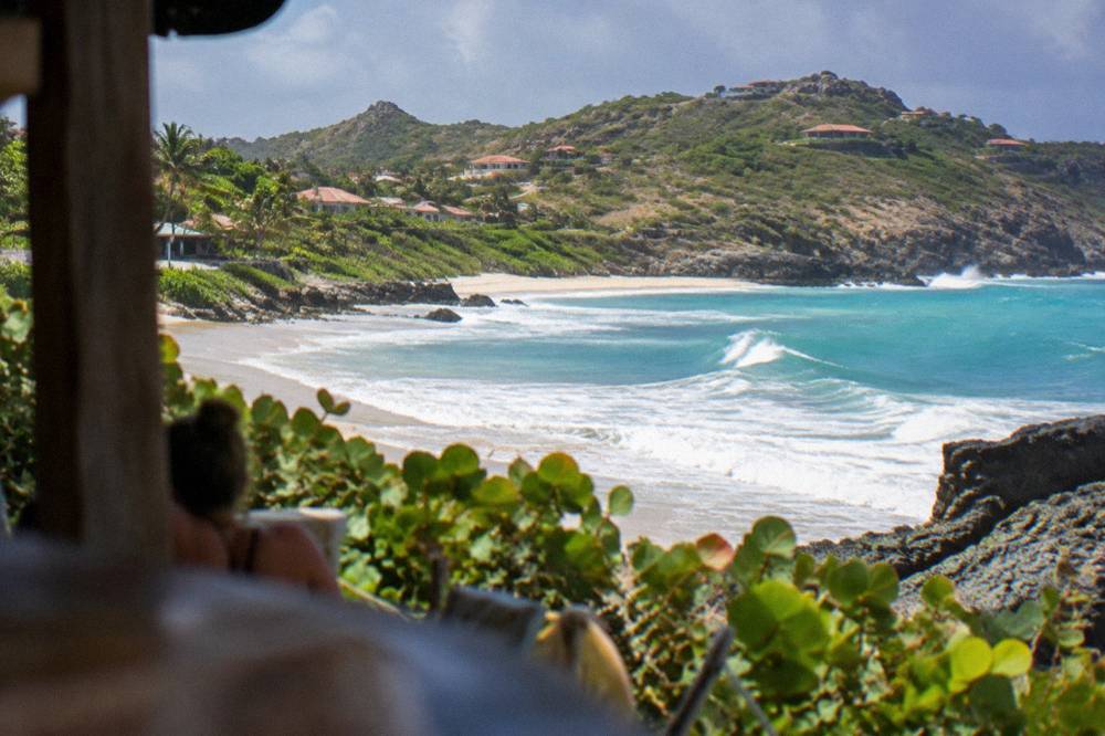
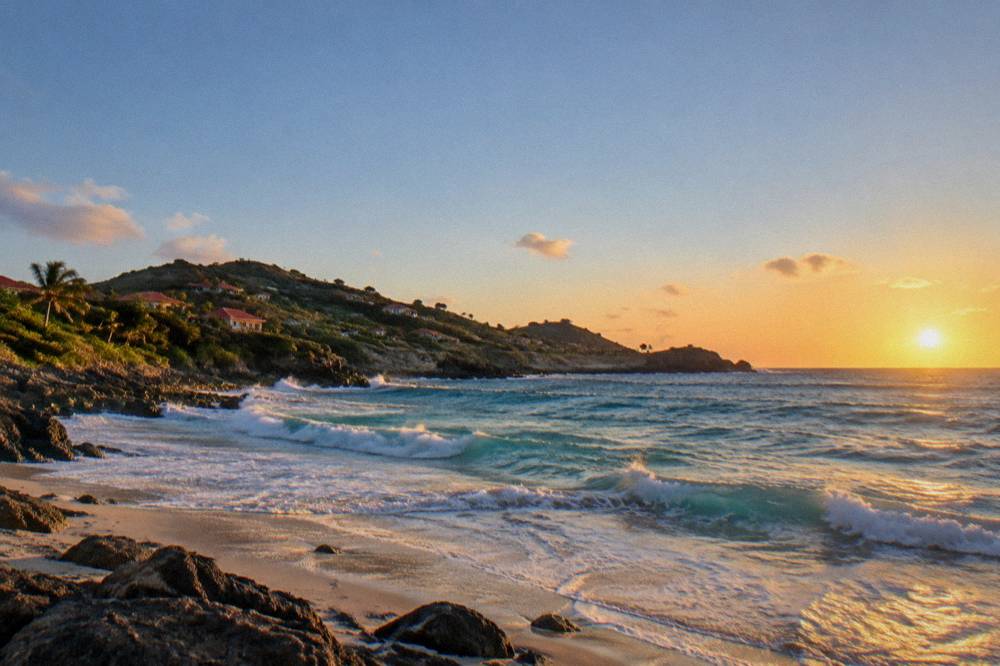
The beach's reputation as a surf spot gives this page its title, and St Barts does have a documented surfing scene on its Atlantic-facing coasts. The environment agency's rules matter for anyone carrying a board: the marine reserve's zones cover parts of the island's waters, though the reserve's named regulatory zones centre on Colombier and Ile Fourchue rather than the north shore bays. The general island-wide rules, on dogs, wildlife and litter, apply everywhere.
If your interest is comparing shores before committing to a day of sand, the site's beach guide by type lists every named beach against what each is known for in general terms, and the answer page what is the nicest beach in St Barts addresses the comparison question directly.
How Do You Get To Anse Des Cayes In St Barts?
Anse des Cayes is reached by road, by rental car or taxi, off the main north-shore corridor between Saint-Jean and Lorient. There is no ferry stop and no airport at the beach itself; the airport, Gustaf III at Saint-Jean, is the nearest fixed landmark on the map. Travellers arrive on St Barts through St Martin, then a small plane or a ferry to Gustavia, and drive from there.
The arrival chain is worth understanding before any beach day. Flights from North America and Europe land at St Martin (SXM) on the Dutch side, or at San Juan, Guadeloupe or Antigua, and the final leg to St Barts is a small STOL turboprop into Gustaf III or a ferry across from St Martin. The runway at SBH is 646 m, which limits the airport to small turboprops in daylight and visual conditions only. St Barth Commuter serves the island from SXM, Grand Case and Pointe-a-Pitre, and Tradewind from San Juan and Antigua. On the sea side, Great Bay Express runs from Philipsburg to Gustavia, about 45 minutes, and Voyager from Marigot, about 50 to 60 minutes. The operator's ferry page shows current sailing days and check-in cut-offs.
| Leg | Operator or route | Notes |
|---|---|---|
| Gateway to St Martin | Flights to SXM | Main feeder airport for St Barts |
| SXM to St Barts by air | St Barth Commuter | Small turboprop, short hop |
| Grand Case to St Barts | St Barth Commuter | Short hop, French side |
| San Juan to St Barts | Tradewind | Pilatus aircraft |
| Antigua to St Barts | Tradewind | Seasonal |
| Philipsburg to Gustavia | Great Bay Express | About 45 minutes |
| Marigot to Gustavia | Voyager | About 50 to 60 minutes |
Once on the island, a car is the practical way to reach Anse des Cayes. Avis, Budget and Hertz have counters at the airport, local agencies rent the small open cars the island is known for, and driving is on the right with 50 km/h as the island-wide limit and lower limits in Gustavia and Saint-Jean. The roads are narrow, steep and winding, which is the single most useful driving fact on an island of 21 square kilometres. The site's St Barts car rental guide covers the practicalities, and the question do you need a car in St Barts addresses whether to bother.
For travellers connecting through the Dutch side, the guide to getting from SXM airport to the St Barts ferry explains the transfer between Princess Juliana airport and the ferry terminals at Philipsburg and Marigot.
What Rules Apply At Anse Des Cayes And St Barts Beaches?
The rules that govern Anse des Cayes are island-wide: the environment agency's regulatory-zones page lists a 5-knot speed limit in the marine reserve's zones, a ban on jet skis and other motorised water devices, 23 dive sites in the reserve, and prohibitions on touching turtles, collecting coral or shells, and bringing dogs onto any beach. The dog ban comes from a long-standing municipal order and applies even to leashed dogs.
These rules are enforced by the territorial environment agency, and the beach-facing summary is short: leave wildlife alone, take nothing, and keep pets off the sand. Turtles nest on St Barts beaches, green and hawksbill turtles swim in the island's waters, and the agency asks that nests and sightings be reported rather than approached. Drones are restricted around the reserve's zones without prior authorisation. More of these guides are collected on St Barthelemy Travel.
| Rule | Scope | Source |
|---|---|---|
| 5-knot speed limit on the water | Marine reserve zones | Environment agency regulatory-zones page |
| No jet skis or towed motorised devices | Reserve zones | Environment agency regulatory-zones page |
| No touching or feeding protected species | All St Barts waters | Environment agency regulatory-zones page |
| No collecting coral, shells or sand | All St Barts waters | Environment agency regulatory-zones page |
| No dogs on beaches, even leashed | Island-wide, all beaches | Municipal order |
| No anchoring in enhanced protection zones | Marked zones | Environment agency regulatory-zones page |
The dog rule catches many visitors out because it is stricter than on neighbouring islands: it applies to every beach on St Barts, not only the reserve zones, and signs at beach entrances repeat it. The agency's stated reasons are the protection of nesting birds, reptiles and turtles, and sand hygiene. If you are travelling with a pet, the site's pet travel guide covers the practical picture; if you are travelling with a board or a drone, check the reserve rules before you launch either.
Beyond the rules, the free things on St Barts are exactly the public beaches and open public places. No guided walking tour is listed here, so a visit to Anse des Cayes is a self-directed one: drive or taxi in, walk the sand, swim at your own judgement, and move on. There is no fee, and no booking, for any beach on the island.
Which Other St Barts Beaches Sit Near Anse Des Cayes?
The nearest named neighbours to Anse des Cayes are Saint-Jean to the west and Lorient to the east, both on the north shore and both on the tourism committee's public beach list. Flamands lies further west past Saint-Jean, Grand Cul-de-Sac wraps around to the east side, and the south shore beaches of Gouverneur and Saline sit across the island's narrow waist.
A beach-hopping day on St Barts is genuinely feasible because the island is small and the beaches are strung along its coastline. Starting at Anse des Cayes, a natural loop runs west through Saint-Jean and Flamands to the island's northwest tip, then back across the interior hills to the south shore at Gouverneur and Saline, or east through Lorient and Grand Cul-de-Sac. The site's St Barts beach hopping itinerary sequences exactly this kind of day.
Each of the neighbour beaches has its own page on this site with the same restrained treatment: Saint-Jean, Lorient, Flamands, Grand Cul-de-Sac, Gouverneur, Saline and Colombier, the last of these reached only by boat or on foot. Colombier is also the destination of the group sailing trip covered lower on this page, which is one way to see a beach that has no road.
For a slower comparison of the shoreline options, the area guides describe the neighbourhoods around each bay, and the question of what part of St Barts is best to stay in weighs the same geography from an accommodation angle. If your beach day is really a beach club day, the answer page on the best beach club in St Barts covers that side of the island's shoreline culture.
To narrow down where to sleep near this shore, book a hotel stay.
What Is The Best Time Of Year For Anse Des Cayes In St Barts?
The Meteo-France normals, 1991-2020, for St Barts show a mean daily high of 28.5 C in January rising to 31.7 C in September, with 891.3 mm of rain across the year and October the wettest month at 135.6 mm. The island is warm in every month of the normals table, so the choice of season is about rain, hurricane-season timing and what is open, not about escaping cold.
The Atlantic hurricane season runs from 1 June to 30 November, with the peak of activity from mid-August to mid-October and the climatological peak near 10 September. Hurricane Irma struck the island in September 2017 and remains the reference event for the island's autumn. The seasonal pattern is the guide, and travellers weigh it themselves.
| Month | Mean daily high C | Mean daily low C | Rain mm |
|---|---|---|---|
| January | 28.5 | 23.5 | 52.6 |
| February | 28.6 | 23.3 | 38.4 |
| March | 29.0 | 23.5 | 41.4 |
| April | 29.8 | 24.2 | 50.9 |
| May | 30.7 | 25.1 | 61.7 |
| June | 31.2 | 25.9 | 56.0 |
| July | 31.2 | 26.0 | 80.4 |
| August | 31.6 | 26.3 | 79.6 |
| September | 31.7 | 26.2 | 96.9 |
| October | 31.4 | 25.8 | 135.6 |
| November | 29.9 | 25.0 | 118.6 |
| December | 28.9 | 24.1 | 79.2 |
The second seasonal factor is the autumn closure pattern: many St Barts hotels and restaurants close each year in the late-August-to-October window and reopen between mid-October and early November for the high season. The beaches themselves never close, and Anse des Cayes remains public and free in every month, but accommodation and dining options thin out in the deepest low season. The sea stays warm year-round, about 26 C in winter to about 29 C from August to October in rounded secondary figures.
Can You See Anse Des Cayes From The Water On A St Barts Boat Trip?
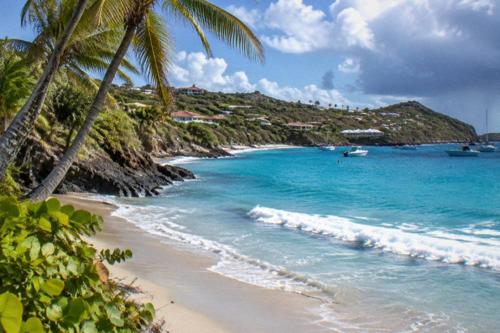
Yes, indirectly: the bookable boat trips listed here depart from St Martin or Sint Maarten and approach St Barts by sea, cruising the island's coastline on the way to stops such as Gustavia, Colombier and Ile Fourchue. No tour listed here departs from St Barts itself, and none runs a scheduled stop at Anse des Cayes, so the beach is scenery on the approach rather than a destination of the trip.
The featured trip on this site is the group sail from St Martin that circles St Barts' coasts, calls at Gustavia, and stops at Colombier Beach and Ile Fourchue for swimming and snorkelling. It is the one per-person product listed here, and its listing shows it running from 12 May to 31 August 2027 as its operating window. The other options are private charters, priced per group, which can shape their own routing with the captain.
Colombier deserves the emphasis here because it is the beach on St Barts with no road access, reachable only by boat or on foot, which makes the sailing trip the practical way onto its sand. The environment agency's rules apply in Colombier Bay: the 5-knot limit, no anchoring in the enhanced protection zones, and the ecological mooring arrangements the reserve provides.
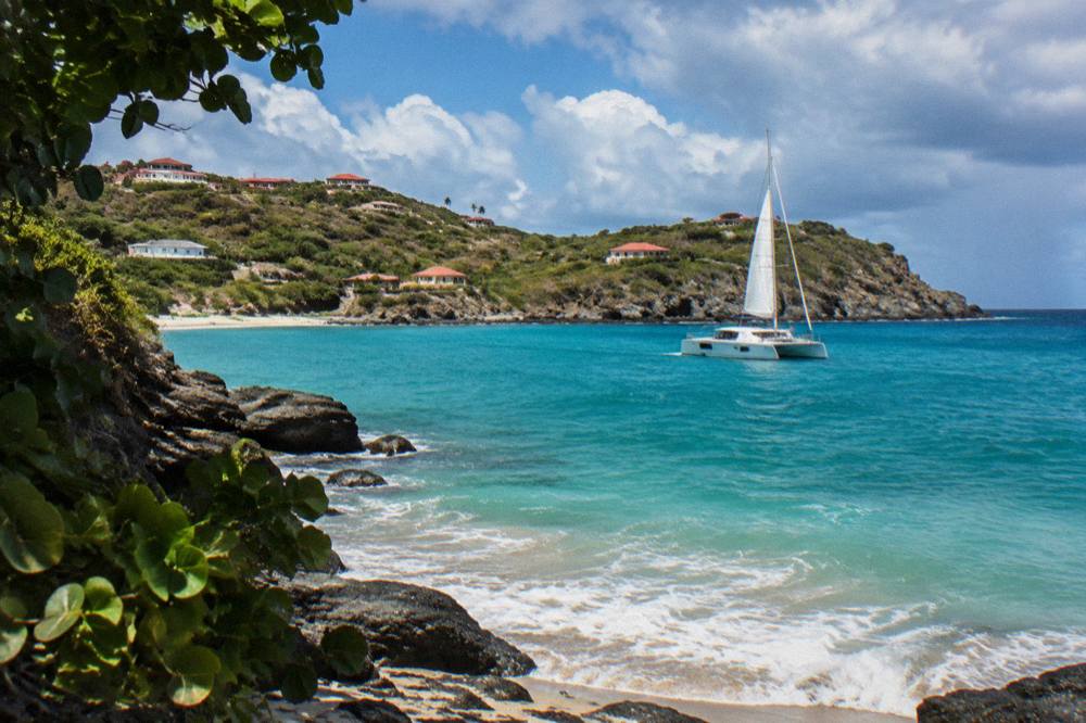
Two charter alternatives suit different plans. The Nikki Beach charter from Sint Maarten pairs the crossing with the island's best-known beach club stretch of shoreline, and the two-day one-night private catamaran turns the crossing into an overnight stay on the water.
The site's overview of things to do in St Barts places the boat trips in the wider context of the island's offering, and the day-trip pages cover the mechanics of crossing from St Martin in both directions. For a longer read on the island's shoreline culture, the St Barts beach clubs guide covers the club scene, and the beach hotels guide covers sleeping within walking distance of sand.
Common Questions About Anse Des Cayes In St Barts
Is Anse des Cayes a public beach?
Yes. The tourism committee lists Anse des Cayes among the island's public beaches, and every beach on St Barts is public and free to access. There is no entry fee and no club membership requirement.
Where is Anse des Cayes on the St Barts map?
Anse des Cayes sits on the island's north shore, between Saint-Jean and Lorient, a short drive from the airport at Saint-Jean and east of Gustavia along the main coastal road.
Can you surf at Anse des Cayes?
St Barts has a documented surfing scene on its Atlantic-facing coasts, and Anse des Cayes is widely associated with it in general island coverage. Check current conditions locally before you go.
Are dogs allowed on Anse des Cayes?
No. A long-standing municipal order prohibits dogs on every beach on St Barts, even on a leash, and signs at beach entrances repeat the rule. The stated reasons are protection of nesting wildlife and beach hygiene.
Do you need a car to reach Anse des Cayes?
A rental car or taxi is the practical way to reach the beach, since it lies off the main north-shore road between Saint-Jean and Lorient. Avis, Budget and Hertz have counters at the airport and local agencies rent small cars suited to the island's narrow, steep roads.
Is there a tour that visits Anse des Cayes by boat?
No tour listed here stops at Anse des Cayes. The bookable boat trips depart from St Martin or Sint Maarten and visit St Barts stops such as Gustavia, Colombier Beach and Ile Fourchue, so the north shore is passed as scenery rather than visited.
Anse des Cayes rewards exactly the kind of visit St Barts makes easy: a public beach, a free shoreline, a short drive from Saint-Jean, and a set of clear island-wide rules that keep the sand and the water in good order. Pair it with the neighbouring north-shore beaches in a single day, or see the whole coastline from the deck of a sailing trip out of St Martin, and the island shows both of its faces, the quiet local bay and the famous harbour, in one small loop.