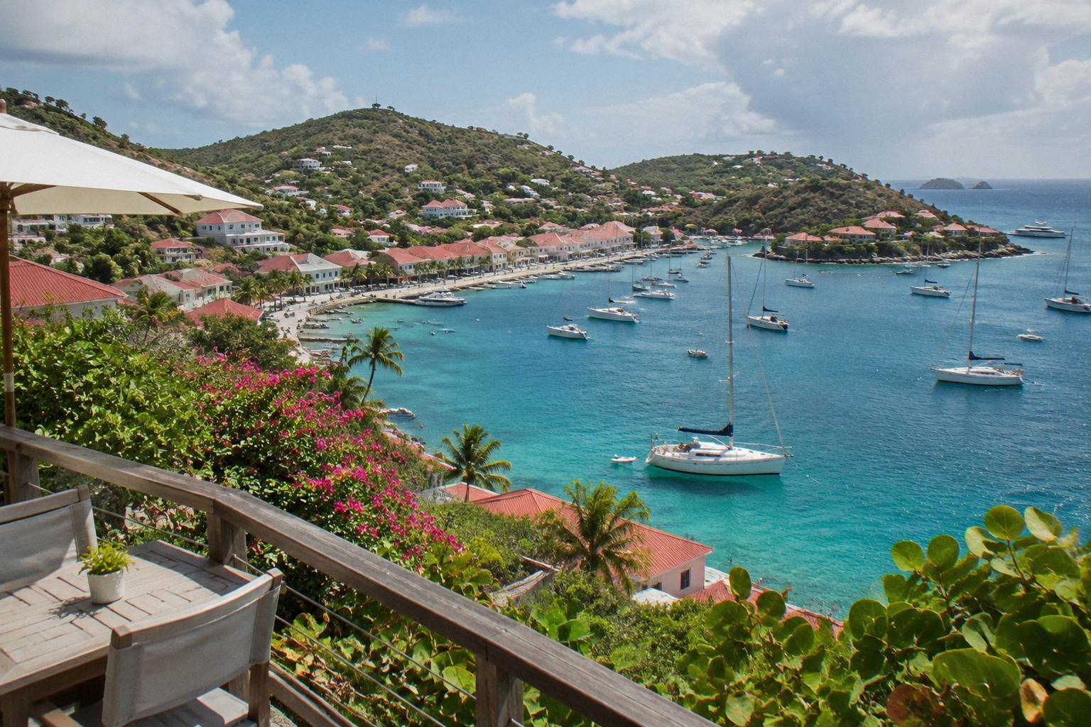
Lorient Beach St Barts
Lorient Beach sits on the north shore of St Barts, a short arc of public sand in one of the island's most lived-in areas. Here is what the map, the tourism committee and the environment agency actually say about it.
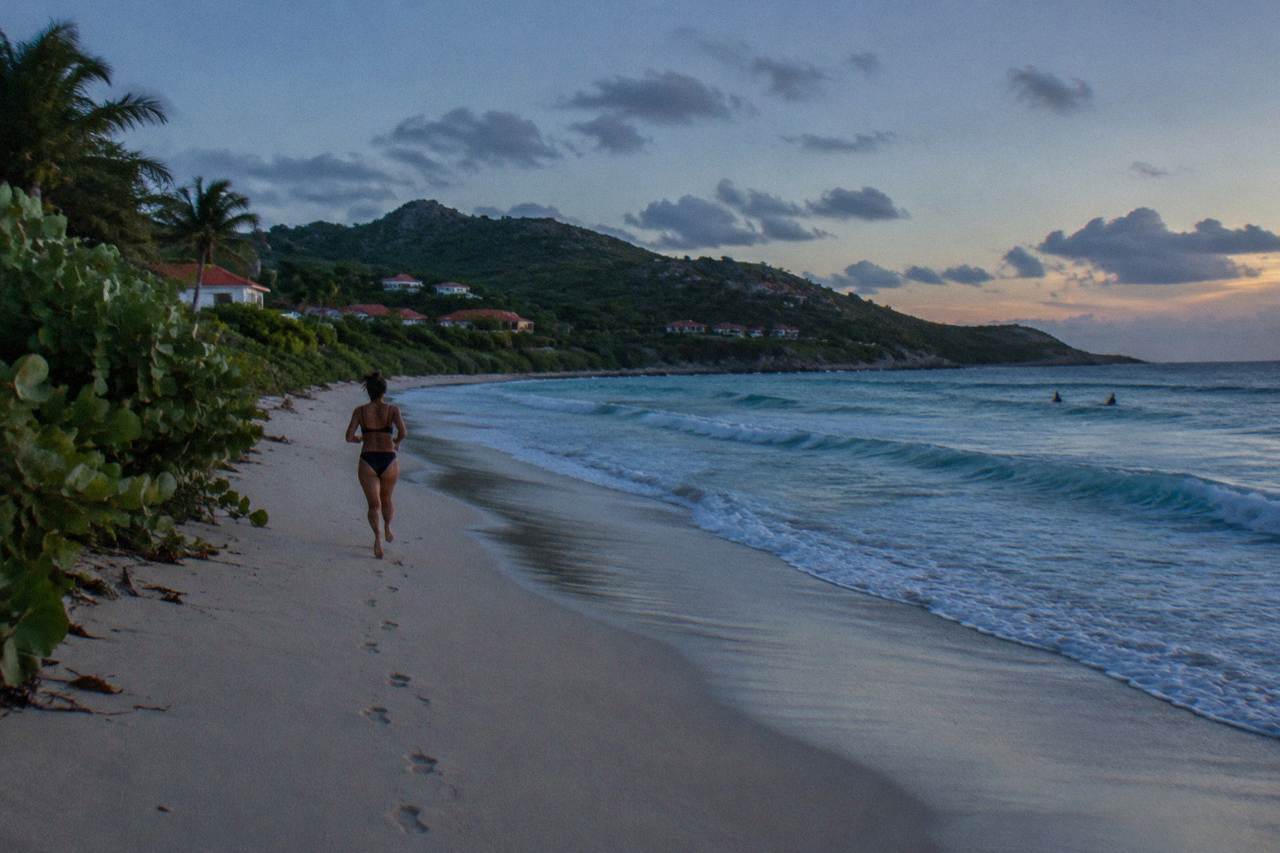
Lorient Beach is a public beach on St Barts' north shore, in the Lorient area east of Gustavia, reached by the island's coastal road. All St Barts beaches are public, dogs are banned island-wide, and the area also holds Lorient village.
St Barthelemy, usually written St Barts, is a small French island in the Caribbean, about 21 square kilometres of hills, red-roofed Gustavia and turquoise water, home to about 10,700 residents. On its north shore, facing the Atlantic side of the island, sits Lorient Beach, one of the named public beaches on the tourism committee's list and the heart of the Lorient area. This guide sets out what visitors need to know about the beach: where it is, what the area around it offers, how it fits into a beach-hopping route, and the island-wide rules the environment agency asks every visitor to follow.
Where Is Lorient Beach In St Barts?
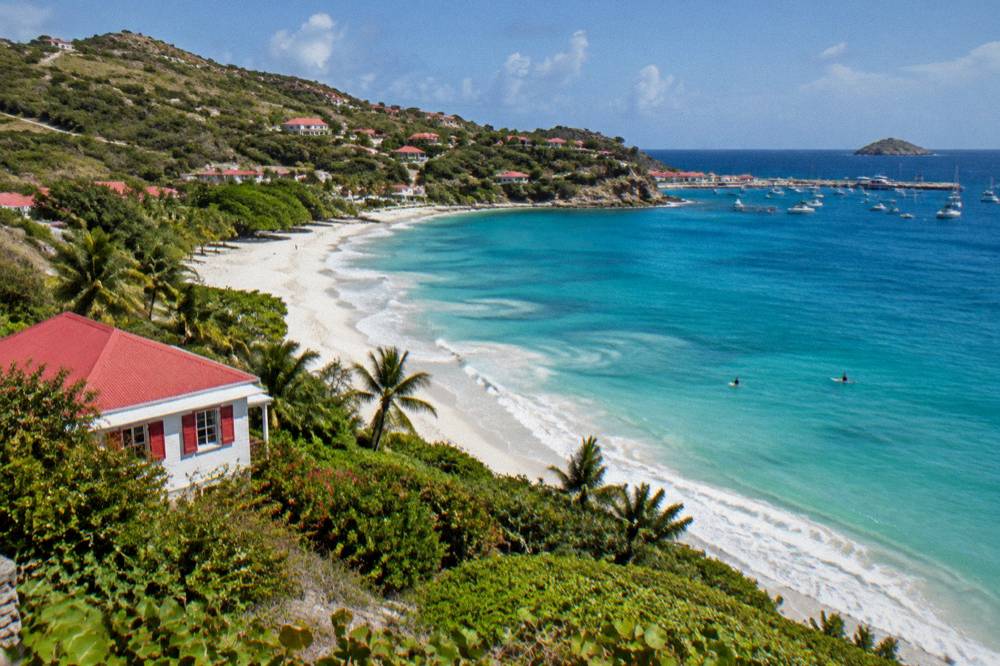
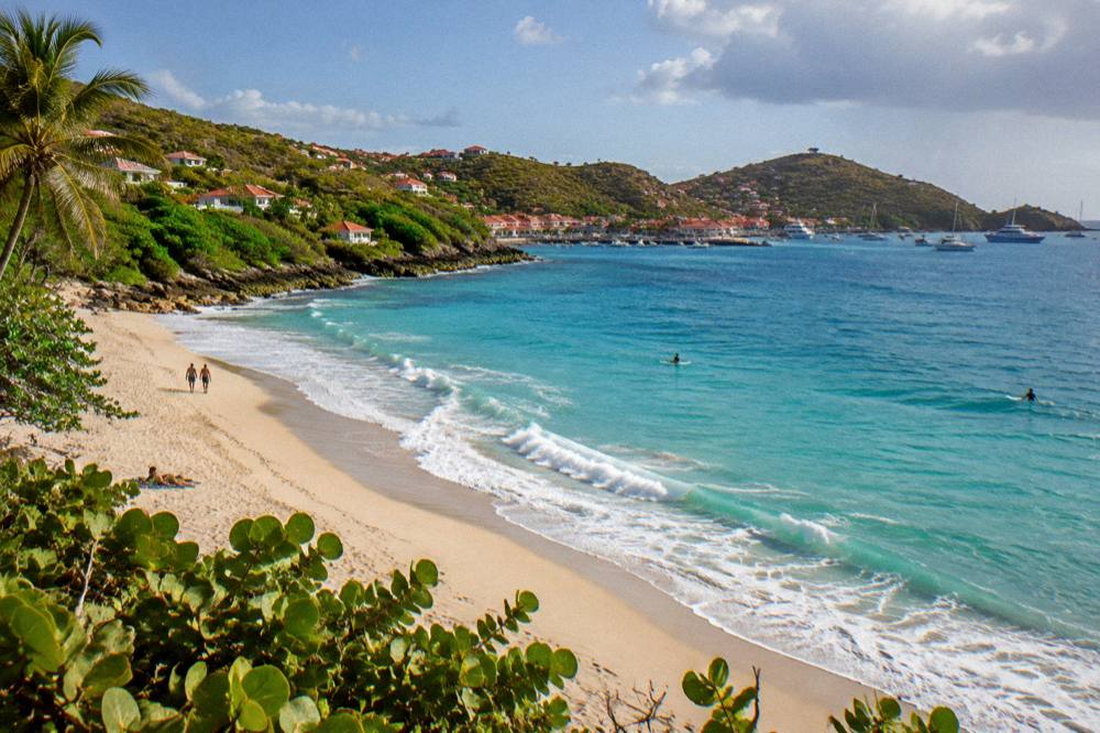
Lorient Beach sits on the north shore of St Barts, in the Lorient area east of Gustavia and west of Saint-Jean, facing the Atlantic Ocean. The island's coastal road runs behind the beach, connecting it to Gustavia in one direction and the Saint-Jean area, where the airport sits, in the other. Like every beach on St Barts, it is public and free to access.
That geography is the single most useful thing to know. St Barts is small, and the whole island hangs off one loop of road with a single roundabout near the airport, so the beach is never complicated to find: the coastal road passes it. The island is an overseas collectivity of France since 2007, with the euro as currency and French as the official language, English widely spoken. Lorient gives the area its name, and the area guide covers the village behind the shore: it is one of the island's more residential corners, with a school, a church and a year-round village feel rather than a hotel strip.
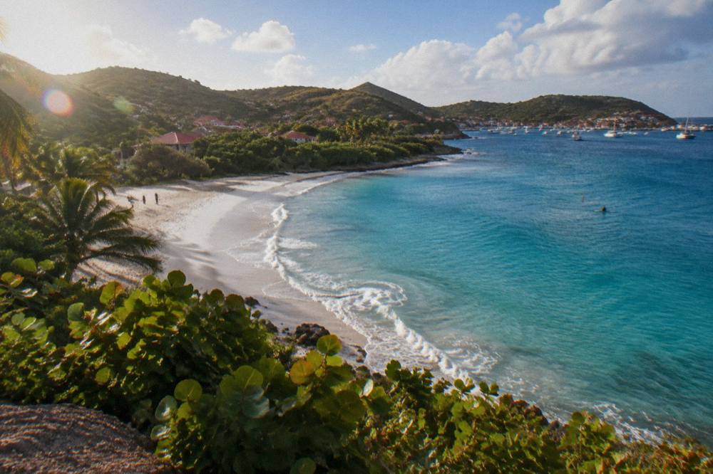
For orientation, the island's named public beaches divide by coast, and Lorient belongs to the northern group:
| Beach | Area of St Barts | Map position |
|---|---|---|
| Lorient | Lorient | North shore, east of Gustavia |
| Saint-Jean | Saint-Jean | North shore, by the airport |
| Grand Cul-de-Sac | Grand Cul-de-Sac | Northeast shore |
| Toiny | Toiny | Southeast shore |
| Marigot | Marigot | Northeast shore |
The other named public beaches on the tourism committee's list, including Gouverneur, Saline, Colombier, Shell Beach, Flamands and Corossol, sit on the southern and western sides of the island. The beach guide by coast covers the full set, and the beach hopping itinerary strings several of them into one day's driving loop.
What Can You Do At Lorient Beach St Barts?
Lorient Beach is a public beach, so the core activity is free and open to all: swimming and time on the sand, with no entrance, no club membership and no reservation. Beyond the shore itself, the area around Lorient holds a village, and the wider island offers beaches, Gustavia's harbour, hiking trails and boat day trips, the bookable ones all departing from St Martin or Sint Maarten.
The rules for what happens on and in the water come from the environment agency, and they matter anywhere on St Barts. Within the marine reserve's zones, the speed limit on the water is 5 knots, jet skis, seabobs, electric surfboards and towed sports are banned, and there are 23 listed dive sites. Touching, chasing or feeding protected species, including sea turtles, corals, urchins and rays, is prohibited, as is collecting coral, shells, sand or rocks. Drones are not allowed without authorization. The reserve's zones include Colombier Bay and Ile Fourchue, not Lorient itself, but the turtle protections and the island-wide dog ban apply everywhere.
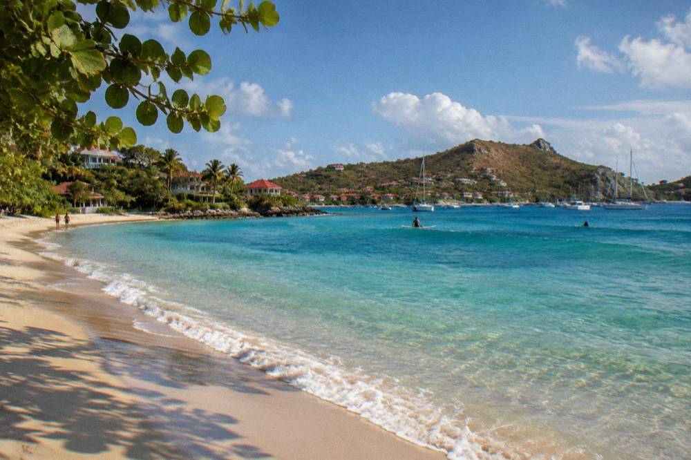
Sea turtles are a genuine draw around St Barts. Green and hawksbill turtles are the species the environment agency names, with the Grand Cul-de-Sac lagoon and the Colombier area as the places its pages mention. Sightings near Lorient are not documented, so this guide makes no promise about them there. The environment agency asks that nests or sightings be reported and that light and noise be kept down near nesting areas. The sea turtle guide covers the rules in full.
No guided walking tour is listed here, and no on-island activity, whether diving, kayaking or a sunset sail, is bookable through this site. The beaches and open public places are free, full stop. What is bookable are boat day trips from St Martin and Sint Maarten, and one of them reaches the two protected bays:
That day trip, the Boomerangs group sail and snorkel, is the one product listed here priced per person rather than per group, and its listing runs the per-person format only from 12 May to 31 August 2027. The rest of the year the site's boat options are private charters. It is also the featured trip for this page: it sails from the St Martin side to Gustavia, Colombier and Ile Fourchue, which pairs well with a stay based in the Lorient area, since the operator's listing is the live route to dates and current pricing on the operator's listing.
How Do You Get To Lorient Beach St Barts?
Lorient Beach is reached by the island's coastal road, which runs behind the sand, with driving on the right and French traffic rules applying. Visitors arrive on St Barts via St Martin, either by small plane into Gustaf III Airport or by ferry from Philipsburg or Marigot into Gustavia, then drive or take a taxi east to Lorient. No printed drive time is available for that journey.
The airport context shapes every arrival. Gustaf III Airport, also called Remy de Haenen and coded SBH, has a 646 m runway: only small STOL turboprops land there, no jets, in daylight and visual conditions only. Gateway flights go to St Martin (SXM), San Juan (SJU), Guadeloupe (PTP) or Antigua (ANU), then a small plane or the ferry covers the last hop. St Barth Commuter flies from SXM, Grand Case (SFG) and PTP; Tradewind flies from SJU and ANU; Winair also serves the island from the St Maarten side.
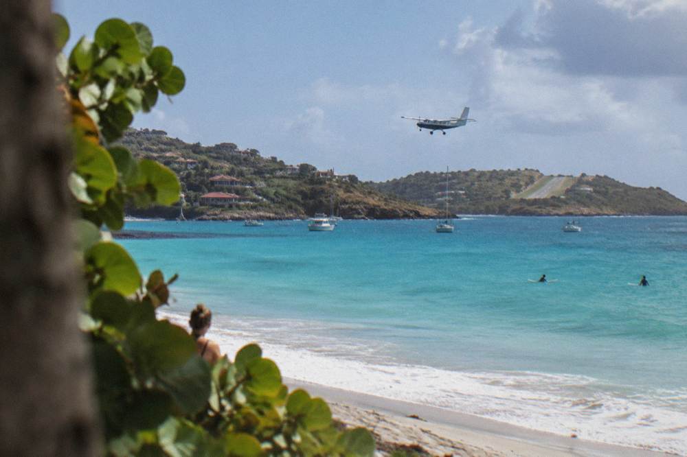
The ferry alternative is a short crossing that can be rough: Great Bay Express runs from Philipsburg on the Dutch side, about 45 minutes, and Voyager runs from Marigot on the French side, about 50 to 60 minutes. Both operators' pages require a passport and recommend arriving well before departure. No fare is listed. The two operators, their ports and the check-in rules are covered in the ferry guide on this site.
| Arrival route | Gateway | Operator or mode | Notes |
|---|---|---|---|
| Small plane from SXM | St Maarten | St Barth Commuter, Winair | Short hop, frequent route |
| Small plane from SFG | St Martin, Grand Case | St Barth Commuter | Short hop |
| Small plane from PTP | Guadeloupe | St Barth Commuter | Longer hop |
| Small plane from SJU | San Juan | Tradewind | Pilatus PC-12 aircraft |
| Small plane from ANU | Antigua | Tradewind | Seasonal frequency |
| Ferry from Philipsburg | Sint Maarten | Great Bay Express | About 45 minutes |
| Ferry from Marigot | St Martin | Voyager | About 50 to 60 minutes |
Once on the island, the practicalities of driving are consistent everywhere: roads are narrow, winding and steep, the island-wide limit is 50 km/h with 30 km/h in Gustavia and St Jean, and rental counters at the airport include Avis, Budget and Hertz alongside local agencies and Mini Moke specialists. Rates vary by season and the rental company's own page shows them. The airport transfer and taxi guides cover the rest.
Where To Stay Near Lorient Beach St Barts?
The Lorient area and the adjacent north shore hold a mix of hotels and villas, with St Barts properties skewing upscale and many closing each autumn before reopening between mid-October and early November. Hotels on the island include Eden Rock, Cheval Blanc, Le Barthélemy, Le Sereno, Le Toiny, Christopher and Manapany, none of them in Lorient itself. Rates vary by season and are shown on each property's own booking page.
This guide names no hotel in Lorient village. What the file does support is the pattern: the island's larger properties, from Flamands to Grand Cul-de-Sac to Pointe Milou, close in late summer and reopen in a wave across late October, with some following in early November. Villas, by contrast, stay available year-round, and St Barts has a large villa market with no reliable count; WIMCO, Sibarth and St Barth Properties manage villas there. The nearest named-property clusters to Lorient sit along the north and northeast shore, at Saint-Jean, Grand Cul-de-Sac and Pointe Milou.
The area guides on this site cover the trade-offs street by street: the Saint-Jean beach guide for the airport-side shore, Flamands to the west, and the best-area-to-stay guide for the island-wide comparison. For beach proximity in general terms, the beach hotels guide lists the properties that sit directly on sand.
| Area | Position relative to Lorient | Lodging character |
|---|---|---|
| Lorient | The area itself | Residential village, villas |
| Saint-Jean | East, by the airport | Hotels and shops |
| Grand Cul-de-Sac | East, northeast shore | Resort properties |
| Flamands | West, north shore | Hotel properties |
| Gustavia | West, the capital | Town stays, walking access to Shell Beach |
Staying in the Lorient area and wanting a day on the water raises one question worth settling early: which boat day trip to book. That decision usually comes down to a group sail versus a private charter, and the featured option for this page is the sail to Gustavia, Colombier and Ile Fourchue.
What Is There To Do Near Lorient Beach St Barts?
Within reach of Lorient the island's documented attractions are its other public beaches, the harbour town of Gustavia with its Forts Karl and Gustaf and the Wall House Museum, the Corossol shell museum, hiking trails including the Colombier walk, and boat day trips from St Martin. No attraction in the island's records sits on Lorient Beach itself beyond the public shore.
Gustavia, the harbour capital, is the anchor. Ships tender passengers into the harbour because there is no cruise pier, and the town holds the two fort sites, the Wall House and the Swedish-history museum, a legacy of the island's Swedish period that the museums cover. The Gustavia guides on this site detail the harbour, the shopping streets and the sunset spots. From Lorient the whole island is one driving loop, so nothing on St Barts is far in absolute terms.
The beach set around Lorient is the real neighborhood draw. Nearest by the loop of road are Saint-Jean and Grand Cul-de-Sac on the same shore, then Flamands to the west and, across the island's spine, Saline, Gouverneur and Shell Beach on the south and west coasts. Colombier, the far one, is reached by boat or by a walk. The beach-by-beach pages, from Saline to Corossol, cover each one's map position and nothing that the file does not support.
| Attraction near the north shore | Type | Segment on this site |
|---|---|---|
| Saint-Jean Beach | Public beach | Attractions |
| Grand Cul-de-Sac Beach | Public beach | Attractions |
| Flamands Beach | Public beach | Attractions |
| Colombier Beach and walk | Public beach, boat or walk access | Attractions |
| Gustavia harbor and forts | Town, historic sites | Attractions |
| Corossol village and shell museum | Village, museum | Attractions |
The boat day trips are the one bookable category that touches this itinerary, and all of them leave from the other island. That is worth repeating because it is the single most common mistake in planning a St Barts trip: there is no boat tour listed here that departs from Gustavia. The Nikki Beach charter, for instance, runs from Sint Maarten across to the St Barts beach club of the same name, and the overnight catamaran makes a two-day loop of it. The Nikki Beach page covers the details, and the operator's listing shows live dates.
When Is The Best Time To Visit Lorient Beach St Barts?
St Barts is warm all year, with Meteo-France normals for 1991 to 2020 showing a mean daily high of 28.5 C in January rising to 31.7 C in September, and 891.3 mm of rain a year, of which October is the wettest month at 135.6 mm. The Atlantic hurricane season runs 1 June to 30 November, peaking mid-August to mid-October. The sea stays warm, about 26 C in winter to about 29 C from August to October.
Those are station normals, not forecasts, and the island never turns cold. The practical seasonal split is between the December-to-April high season, when hotels, restaurants and the sailing events fill the calendar, and the quieter summer and autumn months, when many properties close for their annual break. The pattern, not any single date, is what matters: closures run late summer into autumn, reopenings land between mid-October and early November.
| Month | Mean daily high C | Mean daily low C | Rain mm |
|---|---|---|---|
| Jan | 28.5 | 23.5 | 52.6 |
| Feb | 28.6 | 23.3 | 38.4 |
| Mar | 29.0 | 23.5 | 41.4 |
| Apr | 29.8 | 24.2 | 50.9 |
| May | 30.7 | 25.1 | 61.7 |
| Jun | 31.2 | 25.9 | 56.0 |
| Jul | 31.2 | 26.0 | 80.4 |
| Aug | 31.6 | 26.3 | 79.6 |
| Sep | 31.7 | 26.2 | 96.9 |
| Oct | 31.4 | 25.8 | 135.6 |
| Nov | 29.9 | 25.0 | 118.6 |
| Dec | 28.9 | 24.1 | 79.2 |
Two dated events anchor the calendar: the St Barth Music Festival from 8 to 18 January 2027, its 43rd edition, and the St Barth Gourmet Festival from 9 to 15 November 2026. The Bucket Regatta falls in mid-March, Les Voiles de St Barth in April, the Film Festival in late April or early May, and New Year's Eve brings fireworks over Gustavia harbour, though 2027 specifics for these are unconfirmed. Hurricane Irma struck the island in September 2017, the one storm date worth knowing, and no prediction of any storm belongs on a planning page.
What Rules Apply On St Barts Beaches Like Lorient?
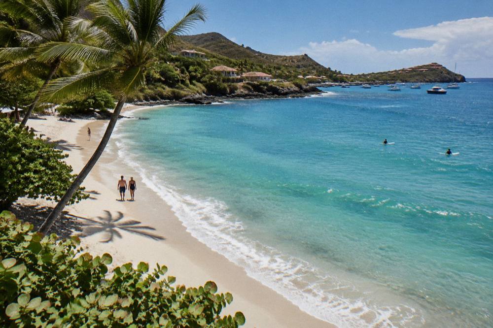
Every beach on St Barts, Lorient included, is public, and a municipal order bans dogs from all beaches island-wide, even on a leash. The marine reserve adds its own rules in its zones: a 5-knot speed limit on the water, no jet skis or towed motorized devices, no touching or feeding of turtles and other protected species, and no collecting coral, shells, sand or rocks. Violations of the dog ban are subject to a fine.
Those rules come from the environment agency's regulatory-zones page and its beach page, and they are the closest thing St Barts has to a beach code. The dog order exists to protect wildlife, including nesting turtles and shore birds, and to keep the sand clean. Signs stand at beach entrances. For families travelling with pets, the pet-travel guide on this site covers the implications: the beach itself is off limits to dogs, so lodging with a yard matters more than beach access.
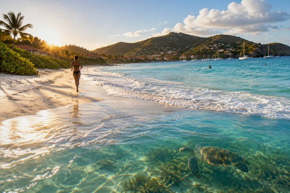
Turtles are the rule most often broken by accident. Green and hawksbill turtles feed in the island's shallow waters, and the instinct to reach out is exactly what the rules prohibit. Drones, which the reserve restricts without authorization, are the other quiet trap for photographers. No rule governs clothing at Lorient specifically; the nude-beaches guide covers what is documented island-wide, which is discretion at certain remote beaches and nothing official anywhere.
The comparison worth carrying is between Lorient and its neighbours: the choice between Lorient, Saint-Jean and Saline comes down to position on the map and the area each sits in. The question of the nicest beach is one this site answers only with that caveat, in the what is the nicest beach in St Barts page.
For a trip built around the north shore, the overnight catamaran is the outlier option: a private two-day, one-night run from St Martin that turns the crossing itself into the stay. It suits a Lorient-based plan only as a bookend, since it boards on the other island, but it is the one way listed here to wake up on the water off St Barts. The listing shows live dates and the per-group price. For everything bookable on one page, the things to do in St Barts index lists every product listed here with its operator listing.
Common Questions About Lorient Beach St Barts
Is Lorient Beach public?
Yes. All beaches on St Barts are public and free to access, Lorient included, per the tourism committee's list of the island's named beaches.
Can you swim at Lorient Beach?
Swimming is not restricted at any public beach on St Barts. The environment agency's rules on protected species and the island-wide dog ban apply at every shore.
Are dogs allowed on Lorient Beach?
No. A municipal order bans dogs from all beaches on St Barts, even on a leash, with signs at entrances and fines for violations.
How do you get to Lorient Beach from the airport?
The coastal road connects Gustaf III Airport and the Saint-Jean area to Lorient, with driving on the right. No drive time is available for that specific journey. Rental counters at the airport include Avis, Budget and Hertz plus local agencies.
What is close to Lorient Beach?
Saint-Jean and Grand Cul-de-Sac sit on the same north shore, Flamands lies to the west, and Gustavia with its harbour, forts and museums is a short drive along the loop road. The Lorient area guide covers the village itself.
Are there boat tours from Lorient Beach?
No. Every bookable boat trip listed here departs from St Martin or Sint Maarten and visits St Barts, including the group sail to Gustavia, Colombier and Ile Fourchue. No tour departs from St Barts itself.
Lorient Beach remains a public north-shore beach, a village behind it, and a set of island-wide rules that keep it that way. For more from St Barthelemy Travel, start with the beach guide by coast or the beach hopping itinerary and plan the loop from there.