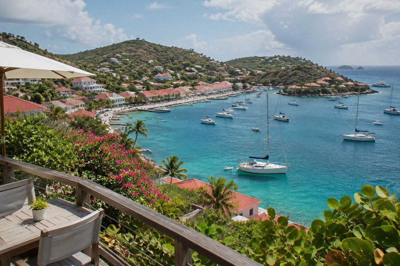
Flamands Beach
Flamands Beach sits on the northwest coast of St Barthelemy, a long public bay backed by green hills a short drive from Gustavia. This guide covers its position, access, swimming conditions in general terms, nearby places to stay and how it compares with the island's other beaches.
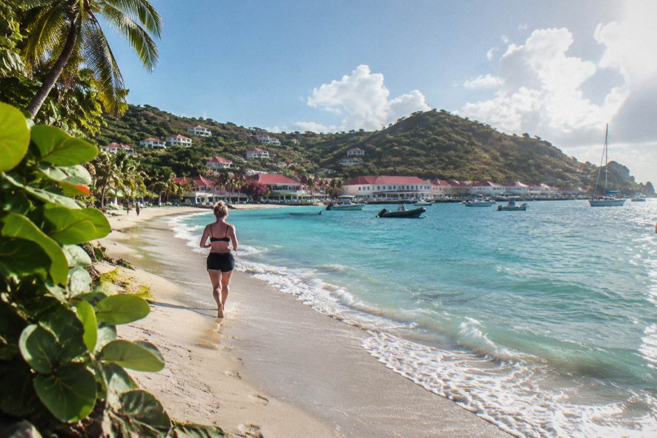
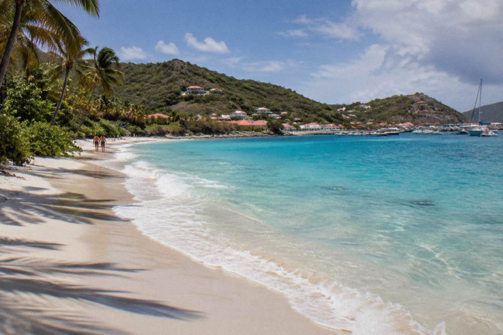
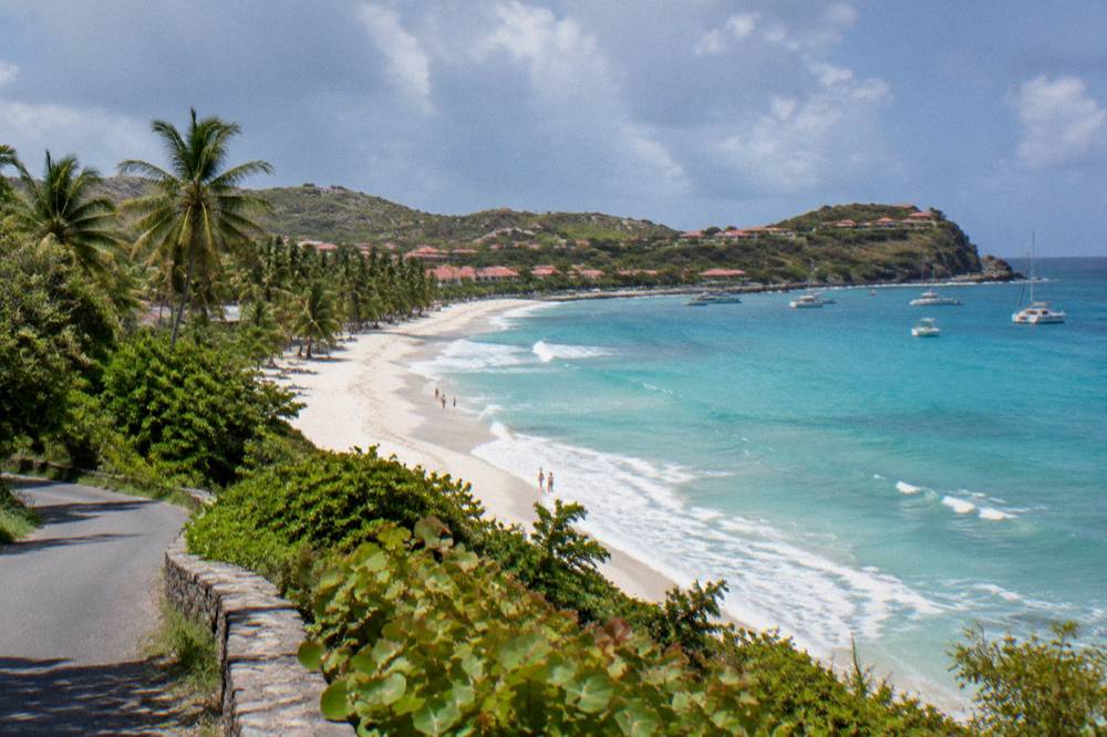
Flamands Beach is a public beach on the northwest coast of St Barts, below the hills between Gustavia and Saint-Jean. All beaches on the island are public, it is reached by road, and the bay is one of the longest on the island.
Flamands Beach is one of the named public beaches of St Barthelemy, the small French Caribbean island usually written St Barts, and it lies on the island's northwest coast in the hills between Gustavia and Saint-Jean. The bay is one of the longest stretches of sand on an island of about 21 square kilometres, and like every beach on St Barts it is public and free to access. This page sets out where the beach sits, how it is reached, what the surrounding area offers, and how it compares with the island's other bays.
Where Is Flamands Beach In St Barts?
Flamands Beach sits on the northwest coast of St Barts, in the hillside area that carries its name between Gustavia, the island's harbour capital, and the Saint-Jean bay where the airport runway meets the sea. It is one of the island's named public beaches, listed by the tourism committee among beaches such as Gouverneur, Saline and Colombier, and it faces the open Caribbean to the north and west.
On a map of the island, Flamands occupies a wide bay below the hills of the Flamands area, one of the recognised neighbourhoods of St Barts. The road from Gustavia climbs over the headland and drops toward the bay; the road from Saint-Jean crosses the island's spine the other way. The tourism committee's listing places Flamands among the island's principal beaches alongside Saint-Jean, Gouverneur, Saline, Shell Beach (Grand Galet), Colombier, Grand Cul-de-Sac, Lorient, Toiny, Marigot and Corossol.
The bay's position matters for two practical reasons. First, it looks out toward the channel between St Barts and the French side of St Martin, so the water in front of it is open sea rather than a sheltered lagoon. Second, the hills behind the beach are among the higher ground on a steep little island, which shapes the roads that reach it: they are narrow, winding and steep, as the general driving guidance for the island notes.
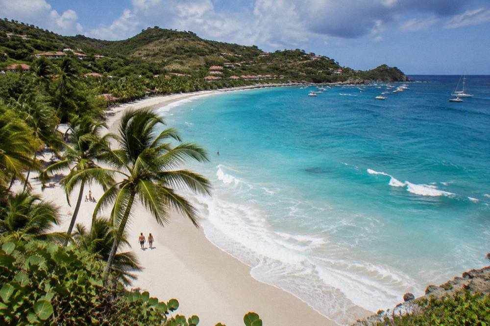
The named beaches of the island, as the tourism committee lists them, fall on different coasts, and each has a distinct map position:
| Beach | Coast of St Barts | Position relative to Gustavia |
|---|---|---|
| Flamands | Northwest | Over the headland north of the harbour |
| Saint-Jean | North | East of Flamands, at the airport bay |
| Grand Cul-de-Sac | Northeast | Across the island, facing east |
| Lorient | North | East of Saint-Jean |
| Corossol | West | North of the harbour on the west side |
| Shell Beach (Grand Galet) | West | A short walk from Gustavia |
| Gouverneur | South | Over the southern hills |
| Saline | South | East of Gouverneur |
| Colombier | Northwest tip | Beyond Flamands, reached by boat or a walk |
| Toiny | Southeast | On the Atlantic side |
All of these are public. That is the single most useful fact about beaches on St Barts: the island's law and custom treat the shoreline as open to everyone, and no beach on this list is private.
What Can You See And Do At Flamands Beach?
Flamands Beach is an open public bay for swimming, walking along the sand and sitting with a view of the sea and the green hills of northwest St Barts. No activity on the island is bookable through this site, and the beach itself needs nothing booked: access is free, the sand is public and the bay's length makes it a straightforward place to spend hours on the shore.
The essentials are simple. The beach is public and free. Its map position gives it a long curve of sand below wooded slopes. Beyond that, the constraints for this island are deliberately strict: nothing reliable supports a claim about the sand's colour or width, the wave height, currents, lifeguards, toilets or parking at this specific beach, so this page prints none of them. A planning guide that describes Flamands in vivid, confident detail is usually filling that same gap with invention.
The things to do around the bay, in general terms, are the things St Barts offers everywhere: swimming from a public beach, walking, driving the hill roads between bays, and eating in the French-influenced restaurants of the island described in general terms only. The things to do in St Barts page collects the island-wide options. For a day structured around several beaches, the St Barts beach hopping itinerary lays out a realistic order.
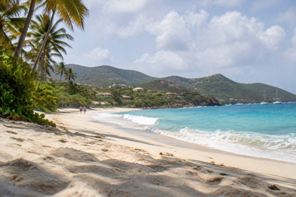
One experience this site does sell is the water: boat trips from St Martin and Sint Maarten that visit St Barts by sea. Every bookable product listed here departs from the neighbouring island, never from St Barts itself, so a stay at Flamands pairs with a boat day only when the trip is planned as a crossing. The featured option for this page is the Gustavia, Colombier Beach and Ile Fourchue sail, a day trip by boat from St Martin that anchors the island's northwest coast.
The reason a boat belongs in a beach guide is geography. Colombier, the next bay beyond Flamands at the island's northwest tip, is reached by boat or by a walk, and the marine reserve that governs its waters is the same one that shapes boating along this whole coast. The environment agency's regulatory-zones page lists the rules: a 5-knot speed limit inside reserve zones, no jet skis, no dogs on beaches, and no touching or chasing protected species, including the green and hawksbill turtles that live around the island. Those rules apply on the water in front of Flamands' neighbouring bays and are worth knowing before any day on a boat.
Is Flamands Beach Good For Swimming And Snorkeling?
Flamands Beach is an open bay for swimming, and the water is warm year-round: sea temperature around St Barts runs about 26 C in winter to about 29 C from August to October, according to secondary climate data. This page prints no claim about waves, currents, lifeguards or safety at this specific beach, and the marine reserve's turtle and speed rules apply on the water rather than on the sand.
Swimming is the honest answer. The sea around St Barts stays warm enough to swim in every month of the year, and the climate normals for the island, Meteo-France 1991-2020, show air temperatures that never fall far: the mean daily high is 28.5 C in January, the lowest month, and 31.7 C in September. Those figures are station normals for the whole island, not measurements taken at Flamands, but nothing on this small island varies much by bay.
Snorkeling is different. The named land-based snorkeling spots of St Barts are covered on the best snorkeling beaches page. The marine reserve context is clear: the environment agency lists 23 dive sites in its waters and strict rules protecting turtles, coral and shellfish. Anyone snorkeling anywhere on St Barts is inside that framework, and the no-touching, no-collecting rules apply.
For visitors who want the water as the main event, the boat trips from St Martin reach the protected bays that road access cannot:
A practical note on timing: the one per-person group sail listed here runs only from 12 May to 31 August 2027 on its listing. Outside that window the bookable products are private charters priced per group. This is the kind of seasonal detail that changes a plan, and it comes from the listing itself.
How Do You Get To Flamands Beach?
Flamands Beach is reached by road from Gustavia or from Saint-Jean, on the narrow, steep, winding routes that cross the hills of northwest St Barts. There is no ferry or flight to the bay itself: visitors arrive on the island through Gustaf III Airport or the ferry terminals at Gustavia, then drive, take a taxi or use a rental car, with Avis, Budget and Hertz counters at the airport alongside local agencies and Mini Moke hire.
The island's road network is small and hilly. General driving guidance for St Barts notes roads that are narrow, winding and steep, with tight passing and limited markings in places, which is why small vehicles with higher clearance are commonly recommended. Driving is on the right, and French traffic rules apply. The drive time to Flamands is not specified. Other pages covering the same trip are gathered on St Barthelemy Travel.
For travellers arriving from outside the Caribbean, the route to Flamands always runs through a gateway. There are no jets at St Barts: the runway at Gustaf III is 646 m, served only by small STOL turboprops in daylight and visual conditions. Gateway flights go to St Martin (SXM), San Juan (SJU), Guadeloupe (PTP) or Antigua (ANU), then a small plane or the ferry completes the trip. St Barth Commuter flies from SXM, SFG and PTP; Tradewind flies from SJU and ANU. The ferries are Great Bay Express from Philipsburg on the Dutch side, about 45 minutes, and Voyager from Marigot on the French side, about 50 to 60 minutes, both landing at Gustavia, from where the road climbs toward Flamands.
The full island-wide picture, including the ferry operators and small-plane carriers in detail, is on the how to get to St Barts guide.
Where To Stay Near Flamands Beach In St Barts?
The Flamands area holds several named hotels, including Cheval Blanc St-Barth Isle de France on the bay itself, together with Hotel Taiwana and Les Ilets de la Plage nearby, and a large villa market across the whole island managed by firms including WIMCO, Sibarth and St Barth Properties. Rates vary by season and each property's own booking page shows them.
The hotels of the Flamands area, from the accommodation list:
| Property | Area of St Barts | Seasonal pattern |
|---|---|---|
| Cheval Blanc St-Barth Isle de France | Flamands | Closes in late summer, reopens in the October wave |
| Hotel Taiwana | Flamands | Follows the island's seasonal pattern |
| Les Ilets de la Plage | Saint-Jean, next headland east | Beachfront villa-style rooms |
| Rêve de St Barth | Flamands hillside | Small residence of apartments |
| Hotel Manapany | Anse des Cayes, west of the bay | Standard seasonal operations |
The seasonal pattern matters more on St Barts than almost anywhere a visitor might compare it with. Many hotels and restaurants close each autumn, typically from mid-August, and reopen in waves between mid-October and early November. That is a pattern, not a fixed calendar, and the reopening wave for the 2026 to 2027 season saw the major properties come back across mid-to-late October, with tables at Cheval Blanc and Le Barthelemy reopening 22 October 2026 and the former Rosewood Le Guanahani, becoming Airelles Le Guanahani on 1 November 2026, following on 1 November 2026. Anyone booking an autumn stay should confirm directly with the property.
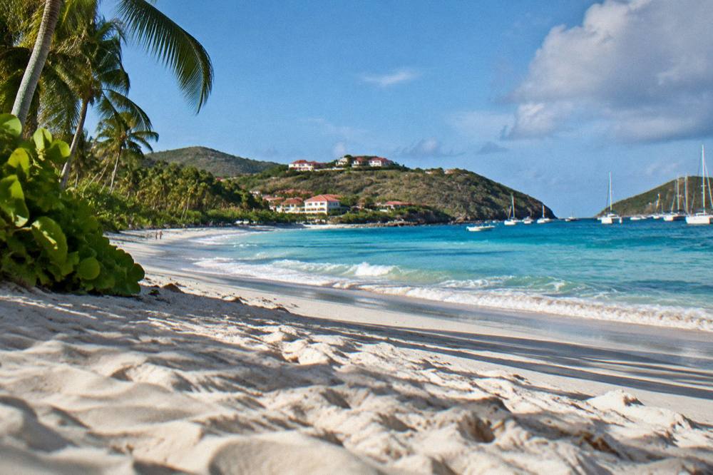
Villas are the other half of the island's accommodation, and they run year-round, which makes them a common choice during the autumn closure window. The specialist managers are WIMCO, Sibarth and St Barth Properties, named here as managers only, with no claim about which is best. The trade-offs between a hotel and a villa are set out on the hotel and villa pages, and the wider options are collected in the beach hotels guide.
What Is The Weather Like At Flamands Beach?
The weather at Flamands follows the island's climate normals, Meteo-France 1991-2020: mean daily highs run from 28.5 C in January to 31.7 C in September, with 891.3 mm of rain across the year and October the wettest month at 135.6 mm. The island is warm in every month, the sea stays warm year-round, and hurricane season runs from 1 June to 30 November with its peak from mid-August to mid-October.
The monthly figures for the island, from the Meteo-France normals for the St Barthelemy station:
| Month | Mean daily high C | Mean daily low C | Rain mm |
|---|---|---|---|
| January | 28.5 | 23.5 | 52.6 |
| February | 28.6 | 23.3 | 38.4 |
| April | 29.8 | 24.2 | 50.9 |
| July | 31.2 | 26.0 | 80.4 |
| September | 31.7 | 26.2 | 96.9 |
| October | 31.4 | 25.8 | 135.6 |
| December | 28.9 | 24.1 | 79.2 |
February has the lowest monthly rain total at 38.4 mm and October the highest at 135.6 mm, but no month is cold and no month is dry in absolute terms. The wettest months overlap the warmest, and both overlap hurricane season, which is the main planning variable for an autumn trip. Hurricane Irma struck the island in September 2017 and remains the reference storm for this coast, but no source supports predicting a storm for any future date, and this page does not try.
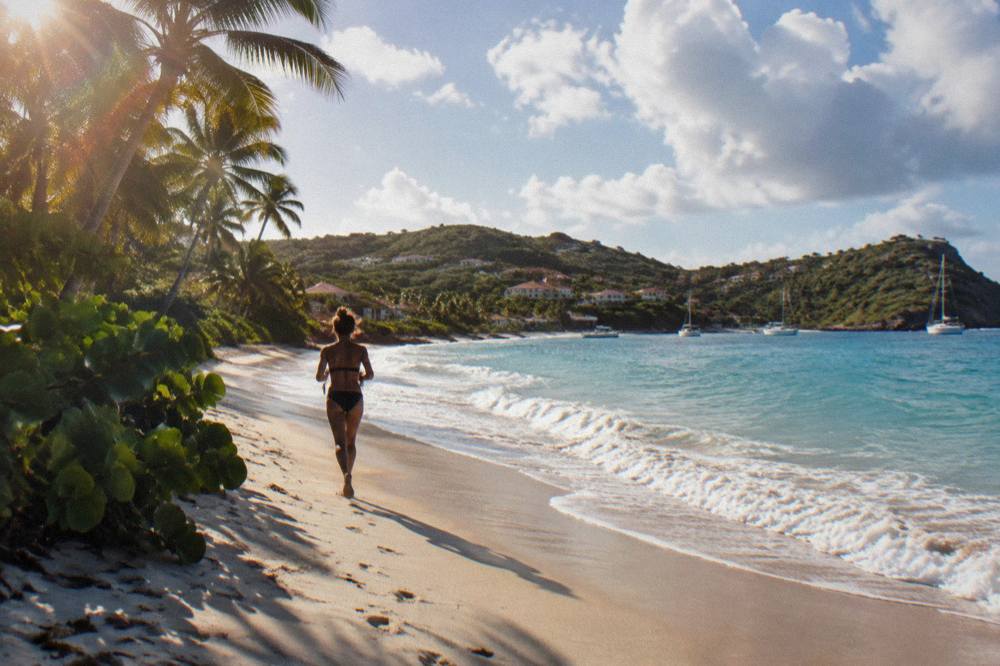
What the seasons mean in practice:
| Season | Months | Planning notes for St Barts |
|---|---|---|
| High season | December to April | Aligned with the northern winter, driest normals |
| Early shoulder | May and June | Rain totals near the annual average, warm sea |
| Hurricane season | 1 June to 30 November | Peak mid-August to mid-October, climatological peak near 10 September |
| Autumn closure window | Mid-August to mid-October | Many hotels and restaurants close, villas run year-round |
| Reopening | Mid-October to early November | Properties return in waves ahead of high season |
How Does Flamands Beach Compare With Other St Barts Beaches?
Flamands Beach is the long northwest bay closest to Gustavia's side of the island, distinguishing it from the south-coast beaches Gouverneur and Saline, the airport bay of Saint-Jean and the east-facing lagoon at Grand Cul-de-Sac. All are public, all are free, and the differences that matter are position and access: Colombier beyond Flamands needs a boat or a walk, while the others sit on the island's road network.
The comparison, in map terms only:
| Beach | Setting | Access |
|---|---|---|
| Flamands | Long northwest bay below hills | Road from Gustavia or Saint-Jean |
| Saint-Jean | Bay at the airport, with the runway beside the water | Road, next to the airport |
| Gouverneur | Deep south-coast bay | Road over the southern hills |
| Saline | Open south-coast bay behind dunes | Road, then a walk from the parking area |
| Grand Cul-de-Sac | Northeast lagoon bay | Road along the east coast |
| Shell Beach (Grand Galet) | Rocky west-coast cove by Gustavia | Short walk from town |
| Colombier | Northwest tip, in the marine reserve | Boat, or a walk over the headland |
Readers deciding between bays will find the arguments laid out on the nicest beach in St Barts and most beautiful beach in St Barts pages. This page makes no such ranking: no beach on the island can fairly be called the best or the most beautiful, and the honest differentiators are coast, access and what surrounds the sand.
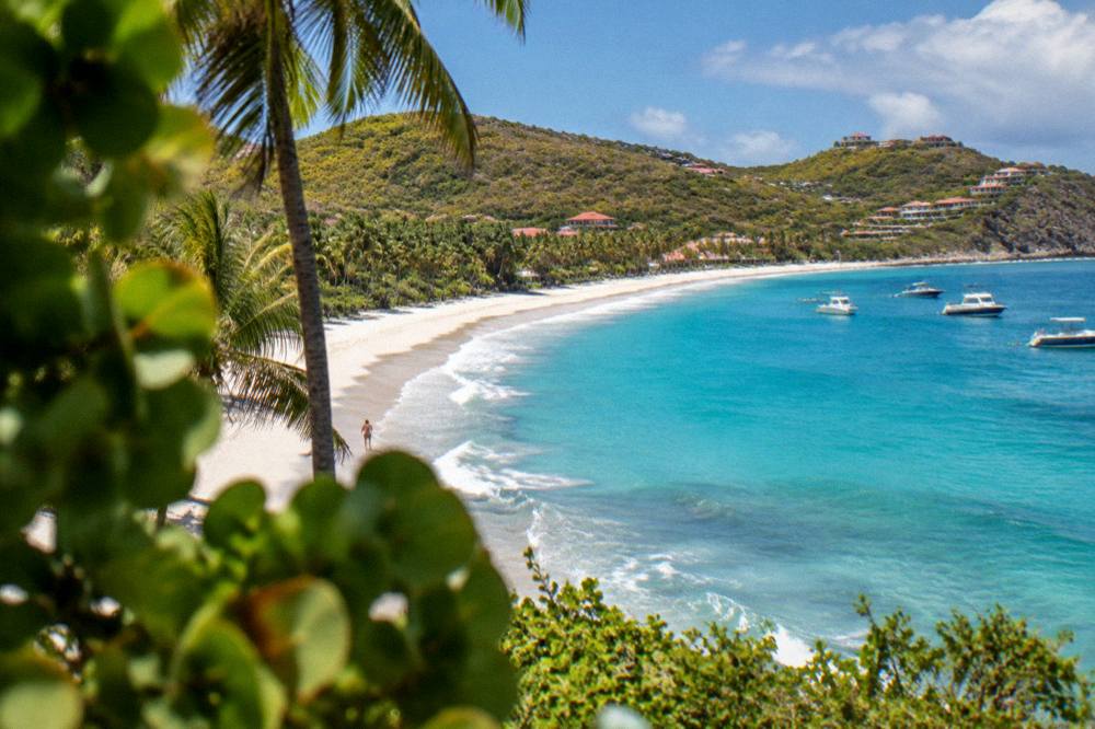
One pairing worth making explicit: Flamands and Colombier sit on the same corner of the island, but they are reached completely differently. Flamands is a road beach, a short steep drive from the capital. Colombier sits inside the marine reserve at the island's tip, reached by boat or by a walk over the headland. Many visitors treat them as a pair: Flamands for the easy day on the sand, Colombier for the boat trip.
For that second half of the pairing, the overnight option is the fullest version:
And for a beach-club day rather than an anchorage, the Nikki Beach charter reaches the island's most established club scene by water:
Common Questions About Flamands Beach
Is Flamands Beach public?
Yes. All beaches on St Barts are public and free to access, and Flamands is listed among the island's named beaches by the tourism committee.
Where is Flamands Beach in St Barts?
Flamands Beach lies on the northwest coast of St Barts, in the hillside area between Gustavia and the Saint-Jean bay, facing open water toward the channel to St Martin.
Can you swim at Flamands Beach?
Swimming is the bay's main use, and the sea around St Barts stays warm year-round, about 26 C in winter to about 29 C from August to October. This page prints no claim about waves, currents or lifeguards at this specific beach.
How do you get to Flamands Beach?
By road from Gustavia or Saint-Jean, on narrow, steep island roads, by rental car or taxi. Rental counters at Gustaf III Airport include Avis, Budget and Hertz, alongside local agencies and Mini Moke hire.
Are dogs allowed on Flamands Beach?
No. The environment agency states that dogs are prohibited on beaches and in the water in the reserve areas of St Barts, and an island-wide municipal order bans dogs from all beaches, even on a leash.
What is close to Flamands Beach?
The Flamands area itself, the walk over to Colombier at the island's northwest tip, and by road the capital Gustavia and the Saint-Jean bay. The beach-hopping itinerary covers a realistic day combining them.
Flamands Beach rewards exactly what its map position promises: a long public bay on the green northwest coast of St Barts, a short steep drive from Gustavia, with the marine-reserve corner of the island just beyond the headland. Pair a day on its sand with a boat trip from St Martin to Colombier and Ile Fourchue, and the two halves of this coast are covered.