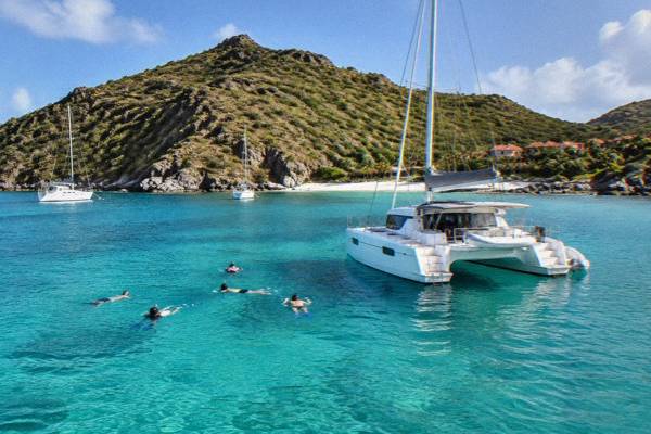
What Is The Most Beautiful Beach In St Barts?
St Barthelemy's beaches are all public, and no official ranking crowns one as the most beautiful. Here is how the island's named beaches compare by position and access.
St Barthelemy, usually written St Barts, is a small French island in the Caribbean with about 21 square kilometres of hills, red-roofed Gustavia and a ring of public beaches. The question of which one is the most beautiful gets asked constantly, and the honest answer is that no ranking exists: every beach on the island is public, the tourism committee lists them by name rather than by order of merit, and beauty has never been measured. What can be reported is which names come up, where each beach sits on the map, and how you reach it. That is what this page does, along with the boat routes that string several of them into a single day. St Barthelemy Travel keeps the island's beach pages updated as the list of named shores does not change.
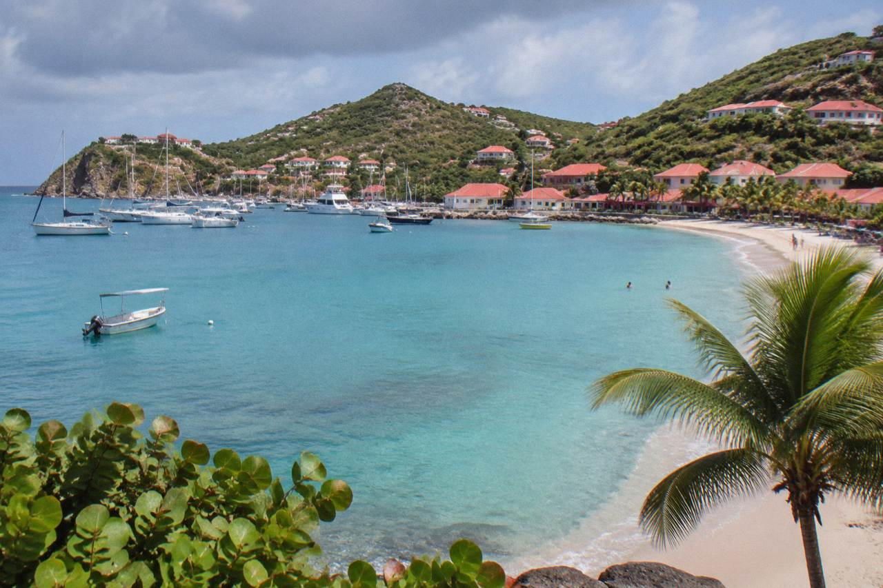
There is no official answer, because no authority on St Barts ranks its beaches by beauty, and every shore on the island is public and free to access. The names that anchor the conversation are Gouverneur, Saline, Colombier and Shell Beach, all listed by the tourism committee alongside Saint-Jean, Flamands, Lorient, Grand Cul-de-Sac, Toiny, Marigot, Anse des Cayes and Corossol. Any single pick is a matter of taste rather than a verifiable fact.
The island's tourism committee names eleven public beaches on its site and assigns none of them a ranking. That matters for two reasons. First, it means a page that crowns one beach is offering an opinion. Second, it means every beach named above is open to anyone, with no private shoreline to work around.
The practical shortlist, if you want one, narrows by position and access rather than by looks. Colombier sits at the northwest tip of the island and is reached only by boat or by a walk, which makes it the least "drive-up" beach on the list and the name most often whispered in answer to this question. Gouverneur and Saline sit on the south coast, one bay apart, with no development between them on the map. Shell Beach, or Grand Galet, is the closest to Gustavia, a short distance from the harbour on foot. Each of these is described in more detail on its own page: Gouverneur Beach, Saline Beach and Shell Beach.
If the question behind your question is where to spend a whole day, the answer depends on how you want to arrive. A beach you sail to feels different from a beach you drive to, and St Barts is unusual in offering both within a few kilometres of each other. The guided comparison continues at the nicest beach in St Barts, a related question with a slightly different emphasis.
Which Beaches In St Barts Appear On Every Shortlist?
Four names recur whenever the island's shores are discussed: Colombier on the northwest tip, Gouverneur and Saline one bay apart on the south coast, and Shell Beach beside Gustavia. The tourism committee lists all of them as public, and the marine reserve's regulatory-zones page places Colombier Bay and Ile Fourchue inside its protected area, which is the closest thing to an official distinction any St Barts beach carries.
That reserve status deserves a line of explanation. The Agence Territoriale de l'Environnement, the island's environment agency, administers a marine nature reserve whose zones include Colombier Bay and the waters around Ile Fourchue. Its rules apply there: a 5-knot speed limit on the water inside the zones, no jet skis or other motorized water devices, no touching or chasing of protected species including sea turtles, no collecting coral, shells or sand, no dogs on beaches or in the water, and no drones without authorization. Vessels over 25 metres are barred from the bays, and mooring is managed by ecological buoys.
For a beach-goer this changes little except the mood of the place: the bays you reach by boat are governed by quiet rules, which shapes what a day there feels like. It also means the sand, the shells and anything living stay where they are.
The wider list of public beaches gives every visitor a fallback. Saint-Jean curves beside the airport runway on the north coast, Flamands faces north on the widest stretch of shoreline, Grand Cul-de-Sac and Lorient sit on the calm eastern side of the island, Toiny faces east below the hotel of the same name, and Marigot, Anse des Cayes and Corossol fill in the smaller coves. None of these is ranked above another, and all are free to walk onto.
| Beach | Position on the island | Access | Note |
|---|---|---|---|
| Colombier | Northwest tip | Boat or walk only | Inside the marine reserve's zones |
| Shell Beach (Grand Galet) | West edge of Gustavia | Short walk from the harbour | Also called Grand Galet |
| Saint-Jean | North coast by the airport | Road | Public, faces the runway approach |
| Flamands | North coast | Road | Public |
| Grand Cul-de-Sac | East coast | Road | Public, lagoon side of the island |
| Lorient | East coast, north of Grand Cul-de-Sac | Road | Public |
The two south-coast bays and the northwest tip get the attention because of what surrounds them: green hills, no road along the sand, and water that is part of a protected area. If your own shortlist of "most beautiful" prizes a sense of remoteness, Colombier wins on geography alone, since it is the only listed beach with no road to it. If it prizes convenience, Shell Beach is minutes from Gustavia's restaurants and shops.
How Do You Reach Colombier Beach In St Barts?
Colombier Beach, on the island's northwest tip, is reached either by boat or on foot, and there is no road to it; the marine reserve's rules apply in its bay, including a 5-knot speed limit and a ban on jet skis. Boats depart St Barts harbours and, for day visitors, St Martin and Sint Maarten, and the walk descends from the Flamands side on a trail described on the island's hiking pages.
The boat option is the one most day visitors take, and it is the reason Colombier appears on so many St Barts itineraries. Charters and scheduled sails from the neighbouring island call in the bay, anchor or pick up a mooring, and give passengers the late morning and afternoon ashore. The hike to Colombier is the alternative for anyone staying on the island with a rental car or a taxi drop at the trailhead above Flamands; the trail page covers the route.
Because the bay is inside the reserve, the rules from the previous section shape the day. No jet skis, no dogs, nothing collected from the water or the sand, and turtles left entirely alone. The environment agency lists green and hawksbill turtles among the species commonly present in the reserve's waters, and its page asks that nests and sightings be reported rather than approached.
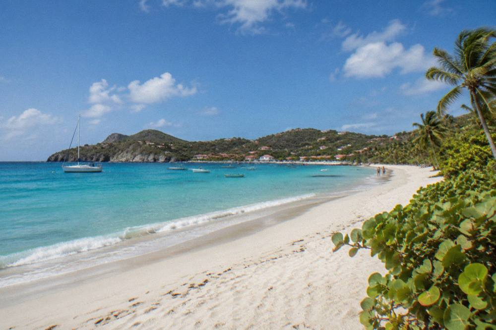
For visitors arriving from St Martin or Sint Maarten, the day-trip market has one product built around exactly this shoreline: the Boomerangs group sail and snorkel, which departs the neighbouring island, calls at Gustavia, then spends time at Colombier and Ile Fourchue. It is the per-person group sail, running 12 May to 31 August 2027 on its listing, and it is the closest thing to a scheduled boat service to this bay. See the live listing if that window matches your dates; outside it, the private charters below cover the same water.
What Does Each St Barts Beach Look Like On The Map?
The eleven public beaches of St Barts ring the island: Colombier at the northwest tip, Flamands and Saint-Jean on the north coast, Grand Cul-de-Sac, Lorient and Toiny on the east, Gouverneur and Saline on the south, and Shell Beach, Corossol and Marigot close to Gustavia and the western coves. Anse des Cayes fills the northwest stretch between Colombier and Flamands.
Position is what can be said with confidence, and position is genuinely useful when planning. The airport sits at Saint-Jean, so the first beach many arrivals see is the one the runway almost touches. Gustavia, the harbour capital, anchors the west, and Shell Beach is its nearest sand. The east coast beaches sit on the leeward side of the island in the prevailing weather, which the island's sailing pages note as the mooring side. The south coast bays face open water between St Barts and St Martin.
Two practical groupings follow from the map. Beaches within reach of Gustavia on foot or a short drive, Shell Beach above all, suit a morning or an evening hour between other plans. Beaches at the ends of the island, Colombier, Toiny, Saline, are destinations in themselves, worth a half-day each, and the beach guide by best-for sorts them by what you want from a day rather than by coastline.
To reach the shores at the far ends of the island, book a rental car.
| St Barts beach | Coast | Nearest landmark on the map |
|---|---|---|
| Colombier | Northwest | Ile Fourchue, offshore in the reserve |
| Anse des Cayes | Northwest | Between Colombier and Flamands |
| Flamands | North | The widest north-coast bay |
| Saint-Jean | North | Gustaf III Airport and Eden Rock point |
| Lorient | East | Village of Lorient |
| Grand Cul-de-Sac | East | The lagoon and the hotels above it |
| Toiny | East-southeast | Pointe de Toiny |
| Saline | South | The salt pond behind the beach |
| Gouverneur | South | The hill road from Gustavia |
| Marigot | West, near Gustavia | South of the harbour |
| Shell Beach (Grand Galet) | West | The edge of Gustavia |
Read the table as a menu rather than a ranking. Nothing suggests Saline outranks Flamands or that Grand Cul-de-Sac outranks Lorient, and this site will not pretend otherwise. What the map does show is variety: within about 21 square kilometres you can stand on an airport-side beach in the morning and a boat-only bay in the afternoon of the same day.
Can You See Several St Barts Beaches In One Day?
Yes, and the most efficient way is by boat: day trips from St Martin and Sint Maarten call at Gustavia, then Colombier Bay and Ile Fourchue inside the marine reserve, covering the shoreline that no road reaches. On the island itself, a rental car strings the road-accessible beaches together, since the island measures about 21 square kilometres and the listed shores sit a short drive apart.
The boat day deserves the headline because it solves the one problem a car cannot: Colombier. A sailing from the neighbouring island delivers you into the reserve's bays, with time ashore and snorkelling in the same protected water, and the trip list carries private versions of the same route for groups that want the boat to themselves. The group sail runs per person from 12 May to 31 August 2027 on its listing; the private charters run year-round on theirs, priced per group, with the details rendered on their listings rather than typed here.
On land, the rhythm is simpler. Pick a coast, park, walk down. The beach hotels guide and the beach clubs guide cover where to base yourself for a shore-first trip, and the related question of the best beach club on the island handles the day-bed side of the equation.
For anyone weighing St Barts against its neighbours, the things to do in St Barts overview places the beaches in the context of the island's restaurants, sailing weeks and village life, which is worth reading before committing a whole trip to the sand.
Common Questions About St Barts Beaches
What Is The Most Beautiful Beach In St Barts?
No official answer exists. Every beach on the island is public, and none is officially ranked. The names that come up most are Colombier, Gouverneur, Saline and Shell Beach, and the choice between them comes down to access and position rather than a measurable difference in beauty.
Are All Beaches In St Barts Public?
Yes. The island's tourism committee lists its named beaches as public and free to access, including those in front of hotels. There is no private shoreline to work around.
Which St Barts Beach Has No Road To It?
Colombier, on the northwest tip. It is reached by boat or on foot by trail from the Flamands side, and its bay sits inside the marine nature reserve, where the environment agency's rules apply.
Can You Take A Boat To The Best St Barts Beaches?
Yes. Day trips from St Martin and Sint Maarten call at Gustavia, Colombier Bay and Ile Fourchue, the reserve-protected shoreline no road reaches. Private charters cover the same water on your own schedule.
Are Dogs Allowed On St Barts Beaches?
No. The environment agency's pages state that dogs are prohibited on beaches and in the water in the reserve areas, and the island-wide rule is reflected on signs at beach entrances.
Is Saline Beach Clothing Optional?
No official rule makes any St Barts beach clothing optional, and public nudity is not legal on the island's public beaches. The details and the etiquette around them are covered on the Saline Beach question page.
The short version: pick by how you want to arrive. Boat-only Colombier for remoteness inside a marine reserve, the south-coast bays of Gouverneur and Saline for open water and green hills, Shell Beach for a walk out of Gustavia, and Saint-Jean or Flamands for the classic north-coast scene. Every one of them is public, and the most beautiful one is whichever of those arrivals suits your day.