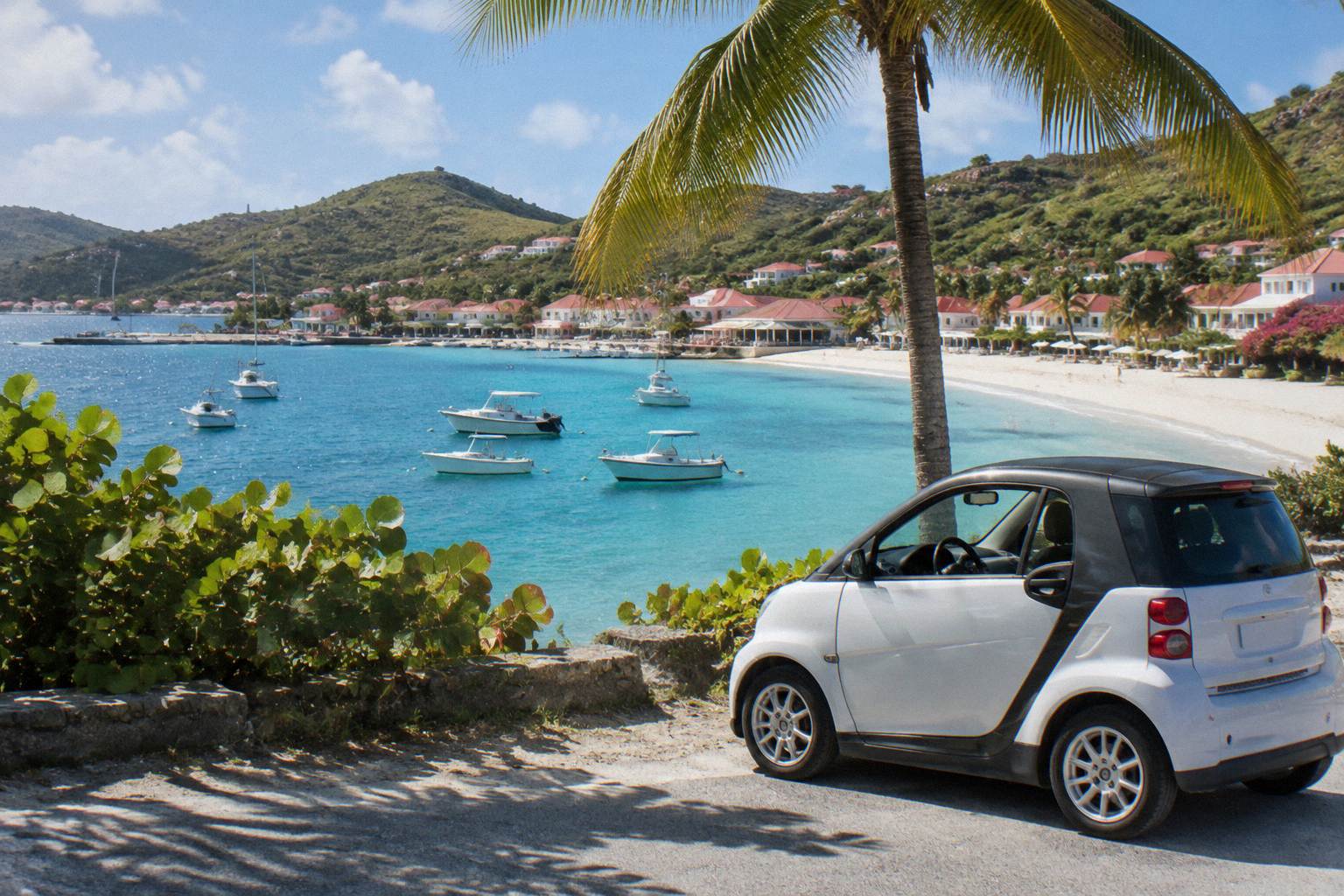
Gouverneur Beach In St Barts
Gouverneur Beach is one of the named public beaches of St Barthelemy, lying on the island's south coast west of Saline and a short drive from Gustavia. This guide covers where it sits on the map, how the access road works, which marine reserve rules apply, and how to see the bay from the water on a charter from St Martin.
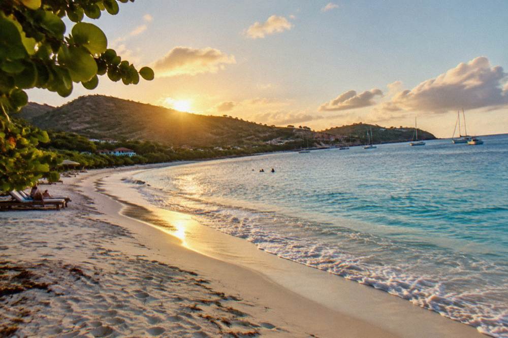
Gouverneur Beach is a public beach on the south coast of St Barts, about midway between Gustavia and Saline on the island's southern shore. All beaches on St Barts are public, access is by the island road network, and the surrounding waters fall under the rules of the national marine reserve.
St Barthelemy, usually written St Barts, packs about 21 square kilometres of hills, red roofs and turquoise water into a small French island in the Caribbean, and Gouverneur Beach is one of its named public beaches. The bay lies on the island's south coast, west of Saline and a short drive from Gustavia over the southern hills. Every beach on St Barts is public by law, and the tourism committee's own listings name Gouverneur among them alongside Saint-Jean, Flamands, Colombier and the rest. This page is the site's full guide to the beach: where it is, how the access works, which marine reserve rules shape a visit, what the climate normals say about the weather, and how the bay looks from the deck of a boat arriving from St Martin.
Where Is Gouverneur Beach In St Barts?
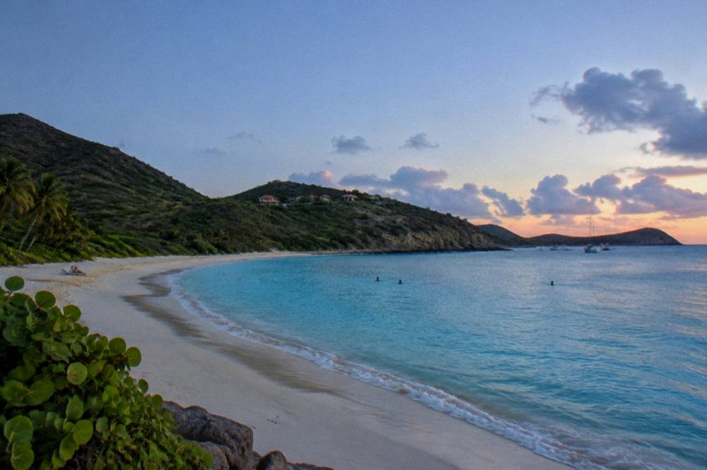
Gouverneur Beach sits on the south coast of St Barts, in the southern hills between Gustavia to the west and Saline to the east, on the island of St Barthelemy, a French overseas collectivity since 2007. The bay faces the Caribbean Sea rather than the Atlantic side, and the surrounding slopes are among the least built-up parts of the island's coastline.
The map position is the fixed, verifiable fact about Gouverneur: a south-facing bay roughly midway along the island's southern shore. Gustavia, the harbour capital, lies over the headland to the west, and the long curve of Saline lies two headlands to the east. Inland, the Gouverneur and Vitet hills rise behind the sand, and the tourism committee's beach listings place the beach in this southern sector rather than in the busy Saint-Jean corridor in the north. For orientation purposes, that is all any honest guide can add: the site's beach coverage prints map position and public status, and leaves wave height, sand width and facilities claims out because no primary source verifies them.
The island itself is small enough that position matters less than you might think. About 21 square kilometres, roughly 10,700 residents, one main road loop and short distances between every named beach. A visitor staying in Gustavia, in Saint-Jean or in Grand Cul-de-Sac is, in every case, on the same small road network with the same set of named bays within reach.
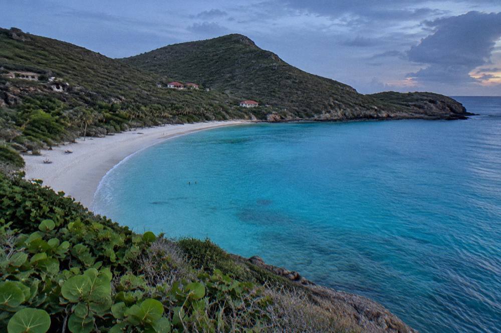
What Makes Gouverneur Beach Different From Other St Barts Beaches?
Gouverneur Beach is public, like every beach on St Barts, but it sits on the island's southern shore away from the Saint-Jean airport corridor, reached through the southern hills rather than along the busy north coast. All beaches on the island are free to access, and the named list runs Saint-Jean, Gouverneur, Saline, Shell Beach, Flamands, Colombier, Grand Cul-de-Sac, Lorient, Toiny, Marigot and Corossol.
The honest way to compare the beaches of St Barts is by position and access, not by adjectives. The north coast holds Saint-Jean under the flight path of Gustaf III Airport, Lorient on the northeast shoulder and Grand Cul-de-Sac along the eastern shore. The south coast holds Gouverneur and Saline back to back, with Colombier at the western tip reachable by boat or by a walk. Gustavia's own sandy corner is Shell Beach, also called Grand Galet. Gouverneur's place in that geography is simple: it is the first big south-facing bay east of the capital, on the quiet side of the island.
| Beach | Side of the island | Public status |
|---|---|---|
| Saint-Jean | North coast, by the airport | Public |
| Gouverneur | South coast, west of Saline | Public |
| Saline | South coast, east of Gouverneur | Public |
| Shell Beach (Grand Galet) | Gustavia, west side | Public |
| Flamands | Northwest coast | Public |
| Colombier | Western tip | Public |
| Grand Cul-de-Sac | East coast | Public |
| Lorient | Northeast coast | Public |
| Toiny | Southeast coast | Public |
| Marigot | South coast, east of Grand Cul-de-Sac | Public |
| Corossol | West coast, north of Gustavia | Public |
What Gouverneur does not have is equally documented. No beach club, restaurant, lifeguard or parking arrangement at Gouverneur is named or described. Readers planning a full circuit of the coast will find the beach guide by coast useful, and the question of which bay suits which traveller is covered in the nicest beach in St Barts.
One way to see several of these bays in a single day is from the water. The day trips listed here all depart from St Martin or Sint Maarten and none from St Barts itself, which matters for planning: a boat day is a gateway-island activity, booked before or after your stay on the island.
How Do You Get To Gouverneur Beach?
Gouverneur Beach is reached by the island's public road network: a car, a taxi or a hotel transfer over the southern hills from Gustavia or from the Saint-Jean area, on roads that are narrow, winding and steep with a 50 km/h island-wide limit and 30 km/h in Gustavia and St Jean. There is no ferry, flight or boat requirement for the beach itself, and driving is on the right.
St Barts follows French traffic rules, drives on the right, and has one roundabout near the airport with minimal traffic lights elsewhere. Rental counters at Gustaf III Airport include Avis, Budget and Hertz, and local agencies rent small cars and the open Mini Mokes the island is known for. This site prints no rental price, no taxi fare and no minimum driver age; rates and terms vary by company and season and each operator's own page shows them. The practical notes that do hold: the island is small, the roads are steep enough that small vehicles with higher clearance are commonly recommended, and parking in Gustavia is limited in high season.
For travellers arriving without a car, the alternatives are taxis and hotel or villa transfers, both bookable on the island. For the geometry of a trip, the route runs via St Martin: gateway flights land at Princess Juliana on Sint Maarten, then a small turboprop or a ferry crosses to St Barts. That whole chain is covered in the site's getting around St Barts planning hub and in the detailed transport guides linked from it.
| Way to reach Gouverneur | What applies |
|---|---|
| Rental car or Mini Moke | Counters at SBH include Avis, Budget, Hertz; local agencies also rent Mokes |
| Hotel or villa transfer | Commonly arranged by accommodations |
| From St Martin by ferry | Great Bay Express from Philipsburg, Voyager from Marigot, to Gustavia |
| From St Martin by plane | Small STOL turboprops only, no jets, daylight operations |
What Rules Apply On And Around The Water At Gouverneur?
The national marine reserve of St Barts sets a 5-knot speed limit in its zones, bans jet skis, seabobs and towed sports, prohibits dogs on the beaches, and forbids touching, chasing or feeding protected species including sea turtles, corals and rays. The rules come from the territorial environment agency's regulatory-zones page and apply across the reserve's zones.
Gouverneur's waters sit within the wider marine protected area that rings much of St Barts, and the environment agency's rules are the definitive list of what is and is not allowed. Alongside the speed limit and the jet-ski ban, the agency prohibits collecting coral, shells, sand or rocks, bans gloves in the water to prevent collecting, restricts drones near the reserve without authorization, and limits vessels in protected bays such as Colombier and Ile Fourchue to 25 metres with ecological mooring buoys preferred. Green and hawksbill turtles are present in the island's waters, and the agency's beach guidance asks anyone who finds a nest or a sighting to report it. Dogs are prohibited on the beaches island-wide under a longstanding municipal order, even on a leash.
| Rule | Applies to |
|---|---|
| 5-knot speed limit | All vessels in reserve zones |
| No jet skis, seabobs, electric surfboards or towed sports | Reserve waters |
| No touching, chasing or feeding turtles, corals, rays, sharks | All protected species |
| No collecting coral, shells, sand or rocks | Beaches and water |
| No dogs on beaches, even on a leash | Island-wide, municipal order |
| No drones without authorization | In and near reserve zones |
| Vessels over 25 m excluded, buoys preferred | Colombier and Ile Fourchue bays |
For swimmers and snorkellers the practical takeaway is simple: look, do not touch, leave shells and coral where they lie, and keep pets away from the sand. The island's sea turtles are a recurring draw, and the site's St Barts sea turtles coverage explains the protections in more depth. Snorkelling from shore elsewhere on the island is covered in the site's land-based snorkelling guide, and no tour listed here departs from the beach at Gouverneur itself.
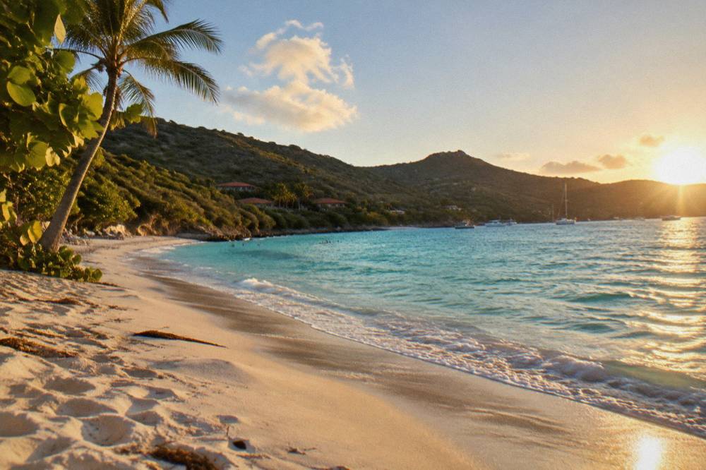
What Is The Weather Like At Gouverneur Beach?
The Meteo-France climate normals for St Barts, 1991 to 2020, show a mean daily high of 28.5 C in January rising to 31.7 C in September, with 891.3 mm of rain across the year and October the wettest month at 135.6 mm. The island is warm in every month, and the sea stays warm year-round, about 26 C in winter to about 29 C from August to October.
Those figures are station normals, not forecasts, and the site prints them exactly as the table gives them. February is the month with the lowest rainfall in the normals at 38.4 mm and October the highest at 135.6 mm, but no month is cold and no month is dry in absolute terms. The Atlantic hurricane season runs 1 June to 30 November with its peak from mid-August to mid-October and a climatological peak near 10 September; the site never predicts a storm, and Hurricane Irma of September 2017 is the historical reference point every long-term resident knows. What the normals mean for a beach day is straightforward: warm air and warm water whenever you go, with a wetter statistical profile in late summer and autumn. More of these guides are collected on St Barthelemy Travel.
| Month | Mean daily high C | Mean daily low C | Rain mm |
|---|---|---|---|
| January | 28.5 | 23.5 | 52.6 |
| February | 28.6 | 23.3 | 38.4 |
| April | 29.8 | 24.2 | 50.9 |
| July | 31.2 | 26.0 | 80.4 |
| September | 31.7 | 26.2 | 96.9 |
| October | 31.4 | 25.8 | 135.6 |
| December | 28.9 | 24.1 | 79.2 |
Season planning interacts with the island's autumn rhythm: many hotels and restaurants close each year in late summer and reopen in waves between mid-October and early November. That is a pattern, not a dated notice, and it shapes what is open near any beach, not just Gouverneur. The site's season guide covers the trade-offs month by month.
Can You See Gouverneur Beach From The Sea?
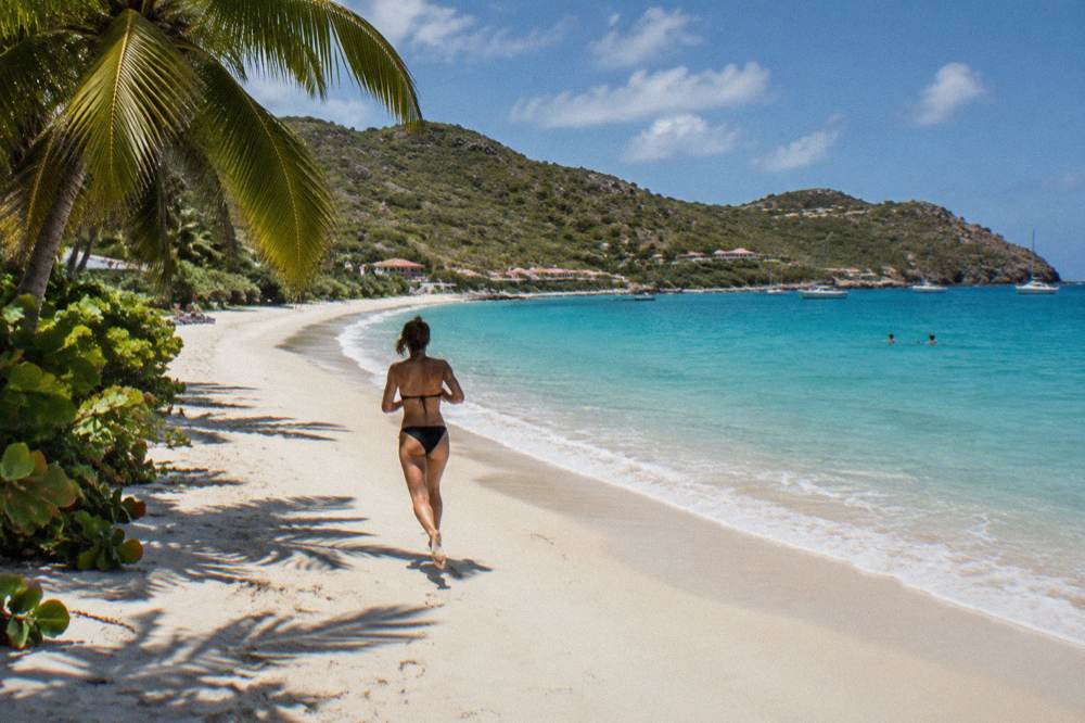
Gouverneur faces the open Caribbean Sea, and the south coast bays of St Barts are visible from boats approaching the island from the southwest, though the charter trips listed here centre on Gustavia harbour, Colombier Beach and Ile Fourchue to the west and north. Every bookable boat trip here departs from St Martin or Sint Maarten, and none departs from St Barts.
That departure rule is the single most useful fact for anyone planning a boat day around a Gouverneur stay. The group sail to Gustavia, Colombier and Ile Fourchue is one of several options that leave from the St Martin side, cross the channel, and spend the day in St Barts waters before returning. The featured trip for this page is the Boomerangs group sail and snorkel, a per-person day trip whose season runs 12 May to 31 August 2027 on its listing; its route, price, rating and duration render in the block below rather than in prose. Private charters, including a Nikki Beach run from Sint Maarten and an overnight private catamaran, cover the same corridor for groups booking a whole boat.
For readers weighing the group option against a private one, the difference is structure: the group sail is per-person and dates are fixed by its calendar, while the private charters price per boat for up to 8 or 10 guests depending on the product. Availability for both moves with the season.
Which Other Beaches Pair Well With Gouverneur Beach?
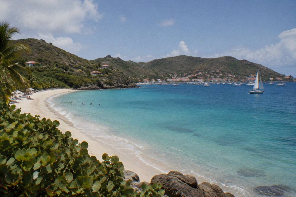
Saline sits directly east of Gouverneur on the same south coast, Flamands and Shell Beach lie to the northwest near Gustavia, and Colombier at the western tip is reachable by boat or by a walk. All are public, all are on the same short road network, and a beach-hopping day can chain the south coast bays before or after a stop at Gouverneur.
The natural pairing is Saline, the neighbouring bay over the eastern headland, which shares the same southern exposure and the same green hills behind the sand. Travellers based near the capital will find Shell Beach in Gustavia the closest sandy option to the harbour, with Saline and Flamands a short drive over the hills in opposite directions. On the north coast, Saint-Jean sits under the airport approach, and on the east coast Grand Cul-de-Sac curves along the lagoon shore. Colombier, at the island's western end, is the one bay the road does not serve directly, and the site's Colombier walk guide covers the access without printing a walking time. A full circuit is laid out in the St Barts beach hopping itinerary.
When Is The Best Time To Visit Gouverneur Beach?
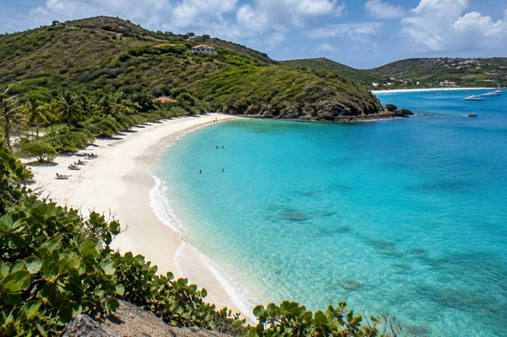
The Meteo-France normals show February with the lowest rainfall of the year at 38.4 mm and October with the highest at 135.6 mm, with mean daily highs between 28.5 and 31.7 C in every month, so the weather distinction that matters is rain statistics and hurricane season, not warmth. Hurricane season runs 1 June to 30 November, peaking mid-August to mid-October.
High season on St Barts runs roughly December to April, aligned with the drier statistics and the island's event calendar. The two dated events this site can print are the St Barth Music Festival from 8 to 18 January 2027 and the Gourmet Festival from 9 to 15 November 2026; the Bucket Regatta falls in mid-March, and Les Voiles de St Barth runs in April. Those dates do not change the beach itself, since the sand is public year-round, but they change the feel of Gustavia and the demand for rooms, cars and restaurant tables. What the site will not do is predict crowds or availability for a given month: the honest version is the statistics plus the closure pattern, that many hotels and restaurants close in autumn and reopen between mid-October and early November.
For a beach-focused trip built around Gouverneur, the planning anchors are therefore: warm weather in every month, a wetter statistical profile from August to November, the hurricane-season window, and the autumn closure rhythm on shore. Everything else is date-specific and belongs on the operator's or property's own live page.
What Should You Know Before You Go To Gouverneur Beach?
Bring what you need for the day, leave pets at the hotel since dogs are banned from every beach on St Barts, do not touch turtles or collect shells under the marine reserve rules, and drive the southern hills in daylight if the road is unfamiliar. The beach itself is public and free to access.
A few island-wide facts fill out the picture. The currency is the euro, French is the official language with English widely spoken, plugs are type C and E, and the island sits at UTC minus 4 with no daylight saving. St Barts is outside the Schengen area, so its entry rules are its own: visa-exempt nationalities including US, UK, Canadian and EU citizens generally stay up to 90 days, and travellers should check their own government's current travel advice for passport requirements. A tourist tax collected through accommodations applies year-round. Emergency numbers are the standard French ones: 15 for medical, 17 for police, 18 for fire and 112 as the general European number.
| Island fact | What applies |
|---|---|
| Status | French overseas collectivity since 2007 |
| Capital | Gustavia |
| Currency | Euro |
| Language | French official, English widely spoken |
| Size | About 21 square kilometres |
| Population | About 10,700 |
| Time zone | UTC minus 4, no daylight saving |
| Plugs | Type C and E |
| Emergency numbers | 15, 17, 18, 112 |
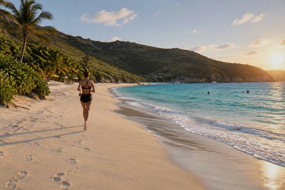
For anyone building a whole trip around the island's coast rather than one bay, the site's St Barts beach hotels guide covers where to sleep near the sand, and the best beach club in St Barts question covers the developed end of the beach scene. Gouverneur, by contrast, is on the undeveloped end.
If a boat day from St Martin is part of the plan, the three options below are the ones this site carries that fit a Gouverneur-centred trip, and every one of them departs from the St Martin side.
Common Questions About Gouverneur Beach
Is Gouverneur Beach public?
Yes. Every beach on St Barts is public, and the tourism committee's listings name Gouverneur among them. Access to the sand is free.
Where is Gouverneur Beach in St Barts?
On the island's south coast, west of Saline and a short drive from Gustavia over the southern hills, facing the Caribbean Sea.
Can you walk to Gouverneur Beach?
The beach is reached by the island road network by car, taxi or transfer. Colombier, at the western tip, is the St Barts bay known for walking access; this site prints no walking time for any trail.
Are dogs allowed on Gouverneur Beach?
No. Dogs are prohibited on all beaches on St Barts under a municipal order, even on a leash, and the environment agency enforces the rule to protect wildlife.
Can you snorkel at Gouverneur Beach?
The waters around St Barts fall under marine reserve rules: no touching turtles or coral, no collecting shells or sand, and no gloves in the water. Snorkelling from shore is possible at several island beaches, but this site verifies no specific condition claim for Gouverneur.
Is there a boat tour to Gouverneur Beach?
No tour listed here runs to Gouverneur itself. The boat trips carried here depart from St Martin or Sint Maarten and centre on Gustavia harbour, Colombier Beach and Ile Fourchue.