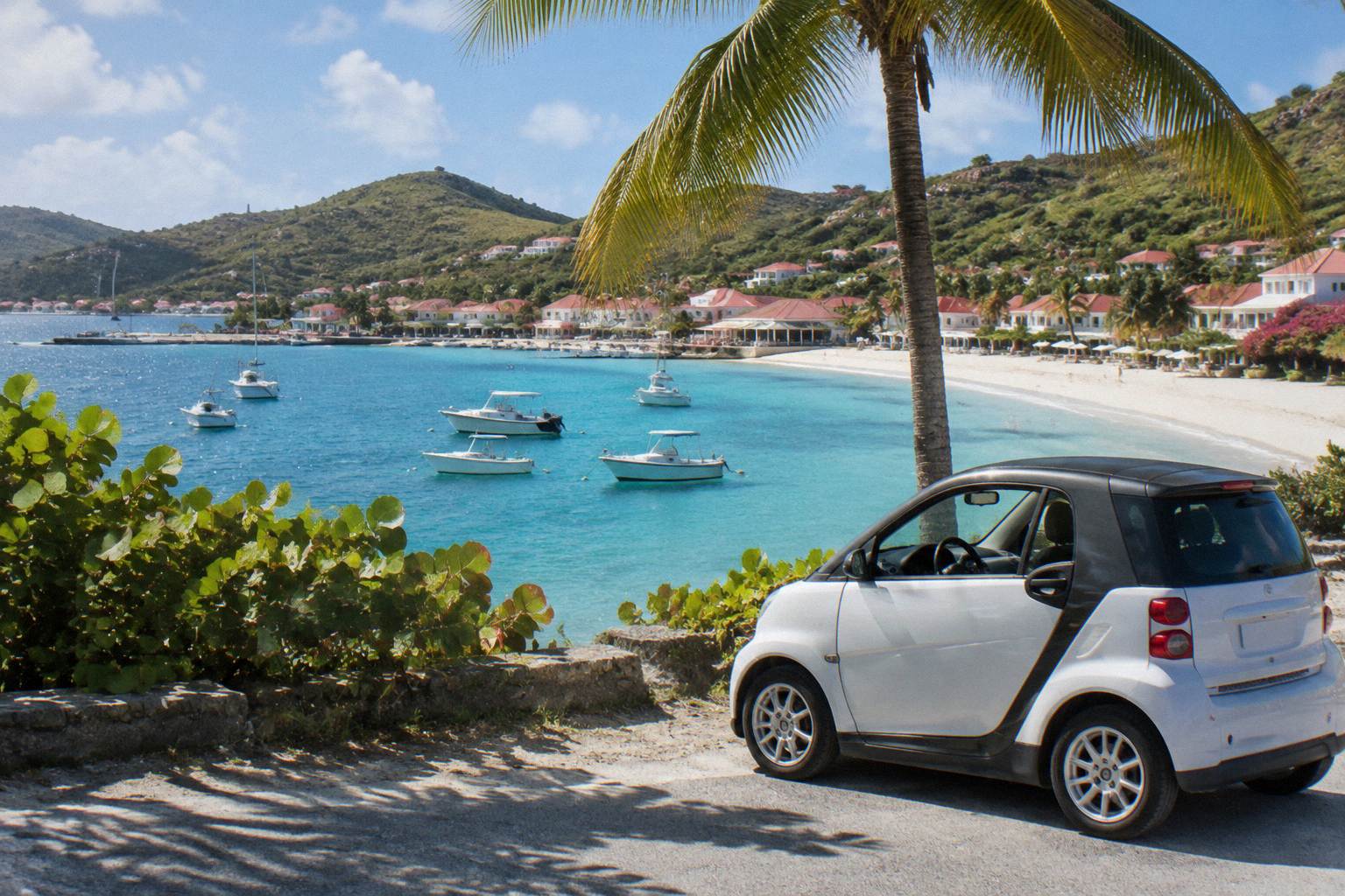
St Barts Neighborhoods Map
St Barthelemy, usually written St Barts, is a French island in the Caribbean of about 21 square kilometres, and its handful of neighborhoods each sit around a bay. This page maps them out.
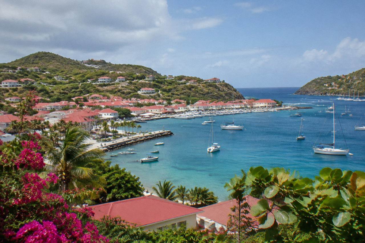
**St Barts divides into a harbor capital (Gustavia), an airport-side beach hub (Saint-Jean), a northern beach stretch (Flamands, Colombier, Corossol, Lorient), an east-coast lagoon area (Grand Cul-de-Sac, Toiny) and a dry southern tip (Saline, Gouverneur).** The island is about 21 square kilometres, so every neighborhood is a short drive apart, and each area guide below covers where to stay and what to expect.
St Barthelemy, written St Barts on every map and sign, is a French overseas collectivity in the Caribbean covering about 21 square kilometres, with roughly 10,700 residents and one harbor capital, Gustavia. The island is essentially a ridge of hills with a beach tucked into nearly every bay, so its neighborhoods are small, coastal and arranged like beads around the shoreline. Reading a St Barts map well means understanding three things: where Gustavia sits on the leeward west side, how the airport at Saint-Jean splits the center of the island, and how the wilder east and south coasts differ from the calm north. This guide walks the island area by area, and each section links to a detailed guide for that neighborhood.
Where Is St Barts On The Map?
St Barts sits in the northeastern Caribbean among the Leeward Islands, roughly 250 kilometres east of Puerto Rico, and its nearest large neighbor is the shared island of St Martin and Sint Maarten to the northwest, with Gustavia, the capital, facing west into the Caribbean Sea on the leeward side. The island covers about 21 square kilometres of steep hills, which is why almost every settlement hugs a bay and the main road runs a loop near the coast rather than crossing the interior. All bookable boat tours listed here depart from St Martin or Sint Maarten and approach the island by sea.
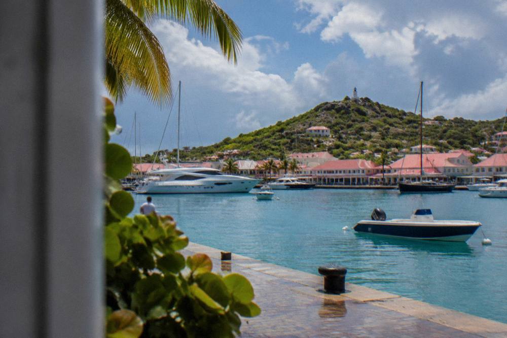
The island is an overseas collectivity of France since 2007, uses the euro, and counts French as its official language with English widely spoken. Its single airport, Gustaf III (SBH), also called Remy de Haenen, has a 646 m runway served only by small turboprops in daylight conditions, so no jet lands on the island and none can. Ferries from Philipsburg (Great Bay Express, about 45 minutes) and from Marigot (Voyager, about 50 to 60 minutes) arrive at Gustavia's quay. So on a practical map, everything radiates from Gustavia harbor, and the visitor's first view of the island is usually its waterfront.
St Barts island facts
Size, population, distance and climate figures for orienting on the map
Figures as stated in the article; climate values from Meteo-France normals, 1991-2020.
How Are The Neighborhoods Of St Barts Arranged?
The neighborhoods of St Barts form a rough coastal ring: Gustavia on the west, Saint-Jean and Lorient on the north-central shore, Flamands and Colombier on the outer northwest, Corossol and Grand Cul-de-Sac on the north and east, and Saline, Gouverneur and Toiny across the south and southeast. Every beach on the island is public, and each area guide on this site describes one stretch of that ring in detail. The island is small enough that no two named neighborhoods sit far apart, but the steep hills between them make each bay feel like a separate world once the road climbs over the ridge.
The table below gives the orientation at a glance. It lists each named area, the side of the island it occupies, the public beach or shoreline feature it contains, and the detailed guide on this site that covers it.
| Area | Side Of The Island | Shoreline Feature | Detailed Guide |
|---|---|---|---|
| Gustavia | West (leeward) | Harbor and Shell Beach (Grand Galet) | Gustavia area guide |
| Saint-Jean | North-central | Saint-Jean beach, airport runway | Saint-Jean area guide |
| Lorient | North | Lorient beach | Lorient area guide |
| Flamands | Northwest | Flamands beach | Flamands area guide |
| Colombier | Far northwest | Colombier beach | Colombier area guide |
| Corossol | Northwest, near Gustavia | Corossol beach and village | Corossol area guide |
| Grand Cul-de-Sac | Northeast | Grand Cul-de-Sac lagoon | Grand Cul-de-Sac area guide |
| Toiny | East | Toiny coast | Toiny area guide |
| Saline | South | Saline beach | Saline area guide |
| Pointe Milou | Northeast headland | Cliffs and water views | Pointe Milou area guide |
A useful map habit: the island's one roundabout sits near the airport at Saint-Jean, and from there the ring road reaches every area listed above. The best area to stay in St Barts depends less on distance than on which shore suits a traveler's plans, since the whole island fits inside a short drive. Inland, the Vitet and Devet hills rise between the coasts and hold their own residential pockets, covered in the Vitet and Devet area guide.
The best way to see how these areas relate is from the water, where the whole ring of bays is visible in one sweep. The group sail that serves as this page's featured tour departs from St Martin or Sint Maarten, rounds the island and stops at Gustavia, Colombier Beach and Ile Fourchue, the small island anchorage off the northwest coast. Its full details, price and reviews render from the compiler below.
What Sits Around Gustavia On The West Side?
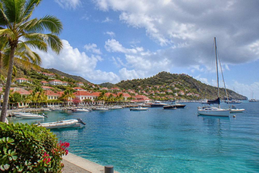
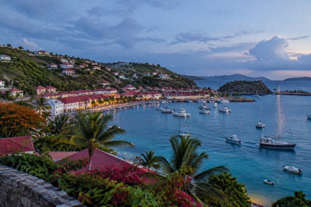
Gustavia is the capital and harbor town on the west, leeward side, and the neighborhoods closest to it are Corossol to the northwest, the Shell Beach (Grand Galet) cove at its southern edge, and the long Gouverneur bay further south, all linked by a coast road that climbs over the headlands between them. Gustavia wraps a U-shaped harbor where ferries arrive and ships anchor offshore and tender passengers in, since there is no cruise pier. The town itself holds the island's main shopping streets and several restaurants, covered in the Gustavia restaurants guide and the Gustavia shopping guide.
Corossol, a short drive north of the harbor, is a quiet fishing village with its own public beach and a small shell museum. South of the harbor, Shell Beach (Grand Galet) is a rocky cove within walking reach of town, and Gouverneur sits a few hills further south as a long crescent of public sand backed by green slopes. All are described in their own attraction pages on this site.
The west side is also where arriving boats first meet the island. Beyond the featured group sail, private charters from St Martin dock or anchor around Gustavia and the bays north of it, and two more of the options appear below with their pricing.
Where Do Saint-Jean And The Airport Sit On The Map?
Saint-Jean sits on the north-central shore and is the island's practical crossroads, because Gustaf III Airport's famously short runway ends right against Saint-Jean beach, the island's single roundabout sits just inland, and every main road on the map branches outward from this one junction toward the coasts. The runway is 646 m long, serves small turboprops only, and operates in daylight and visual conditions, which is why nearly all long-haul visitors connect through St Martin (SXM), San Juan (SJU), Guadeloupe (PTP) or Antigua (ANU) first. The Saint-Jean beach guide and the Saint-Jean area guide cover the stretch in detail.
On a map, Saint-Jean's bay forms a double crescent divided by the runway's end, with hotels and shops along the shore road. East of the airport the coast turns toward Grand Cul-de-Sac, and west it runs to Lorient. This placement makes Saint-Jean the reference point maps alike use for orientation: everything is described as being on the Gustavia side or the Saint-Jean side of the island.
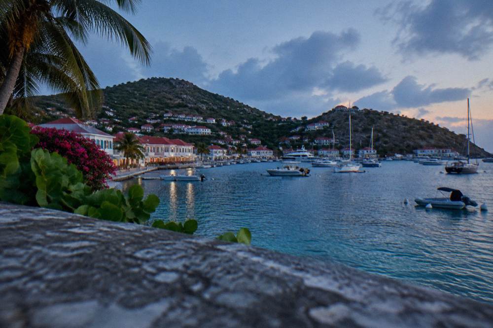
The area also anchors the island's nightlife and beach-club scene, including the Nikki Beach location on the east end of the bay, covered in the Nikki Beach guide. A private charter listed here runs specifically to that beach club from Sint Maarten, and a day-charter variant appears in the band lower on this page.
What Covers The North Coast: Lorient, Flamands And Colombier?
The north coast runs west from Saint-Jean through Lorient, then Flamands, then the road's end at Colombier, with Corossol tucked between Flamands and Gustavia on the inner shore, and each bay along the way holds its own public beach and residential slopes behind it. Lorient is a residential bay with a public beach and a village feel; Flamands is a long stretch of public sand beneath hills; Colombier, at the island's far northwest, is reachable by boat or on foot and sits inside the marine reserve's protected zones. Each has its own area guide linked in the table above.
The environment agency's regulatory-zones page lists the marine reserve's rules for Colombier Bay and nearby Ile Fourchue: a 5-knot speed limit in protected zones, a ban on jet skis, restrictions on vessels over 25 m, and a preference for ecological mooring buoys. Boats calling at Colombier on the featured sail follow those rules, which is part of why the bay stays quiet. The agency also prohibits dogs on beaches and bans touching turtles and other protected species.
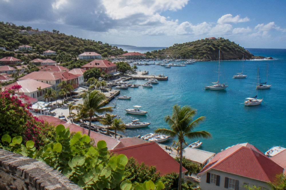
What Covers The East And South: Grand Cul-De-Sac, Toiny, Saline?
The east and south hold the island's quieter corners: Grand Cul-de-Sac's shallow lagoon on the northeast, Toiny's wild coast below it, Pointe Milou's headland between them, and the big open bays of Saline and Gouverneur across the south, all facing the Atlantic swell rather than the sheltered Caribbean side. Grand Cul-de-Sac is a shallow, sheltered lagoon area, covered here, where green and hawksbill turtles are commonly seen and the environment agency strictly prohibits touching or disturbing them. Toiny, to its south, faces the open Atlantic with a rocky shoreline.
Saline, on the south coast, is a broad public beach reached on foot from a parking area over a low rise, and Gouverneur lies just west of it. The Saline beach page and Saline area guide cover the bay. Pointe Milou, a residential headland between Grand Cul-de-Sac and Lorient, appears in the Pointe Milou attraction guide. Flamands, on the north side, rounds out the big-sand list in the Flamands beach guide. Other pages covering the same trip are gathered on St Barthelemy Travel.
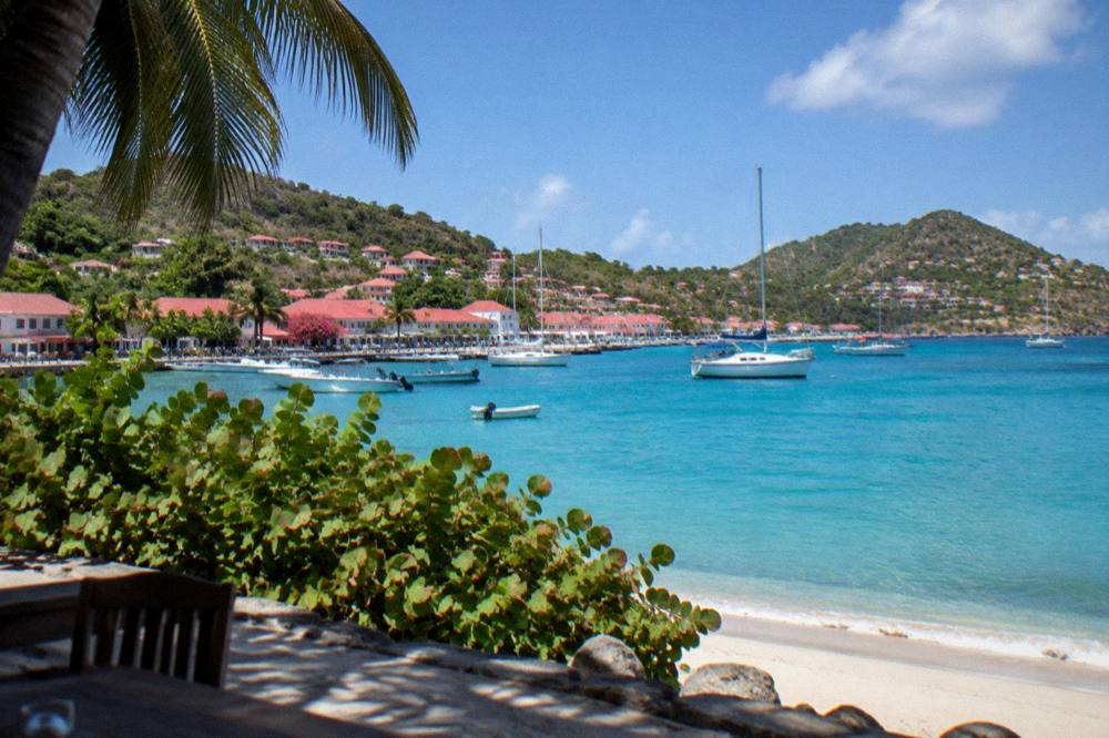
The east coast is also where the island's climate shows its Atlantic side: the Meteo-France normals, 1991-2020, show mean daily highs from 28.5 C in January to 31.7 C in September, with 891.3 mm of rain a year, October the wettest month at 135.6 mm. The trade winds that shape those figures hit the east and south coasts first, which is why those bays read differently on a map from the sheltered north shore. Hurricane season runs from 1 June to 30 November, with its peak from mid-August to mid-October, overlapping the warmest and wettest months on the table.
Which St Barts Area Matches Which Kind Of Stay?
Matching an area to a trip style on St Barts comes down to shoreline character: Gustavia for harbor life and walkable town amenities, Saint-Jean for beach-plus-nightlife energy, Lorient and Flamands for quieter residential beaches, Grand Cul-de-Sac for calm, shallow water and turtle habitat, and Saline, Gouverneur and Toiny for open, undeveloped bays at the end of a walk or a drive. The island has no hostels and skews toward hotels and a large villa market, with named managers including WIMCO, Sibarth and St Barth Properties booking directly rather than through large platforms.
The table below pairs each mapped area with the kind of stay its guide describes. No rates appear because rates vary by season and by property, and many hotels close each autumn and reopen between mid-October and early November.
| Area | Shoreline Character | Suits Travelers Looking For |
|---|---|---|
| Gustavia | Harbor town, ferry quay, shops | Walkable town, restaurants, arrivals by sea |
| Saint-Jean | Double bay beside the runway | Beach clubs, nightlife, central position |
| Lorient | Residential bay, public beach | Quiet base close to Saint-Jean |
| Flamands | Long sand beach under hills | Beach-first stay, hillside villas |
| Colombier | Road's end, marine reserve zone | Boat access, hiking, seclusion |
| Grand Cul-de-Sac | Shallow lagoon | Calm water, turtle habitat, family shore |
| Toiny | Open Atlantic coast | Seclusion, wild shoreline |
| Saline and Gouverneur | Big open southern bays | Space, walking access over low rises |
| Pointe Milou | Headland above the water | Views, quiet residential stay |
How Does A St Barts Map Help Plan Days And Boat Trips?
A St Barts map pays off in two directions: on land, because the ring road links every area and one roundabout at the airport orients all driving, and on water, because boat tours from St Martin approach the island from the northwest and typically call at Gustavia, Colombier and Ile Fourchue in a single loop that traces the same coast the road serves. Driving is on the right, roads are narrow, winding and steep, and the speed limits are typically 50 km/h island-wide with 30 km/h in Gustavia and Saint-Jean. Rental counters at SBH include Avis, Budget and Hertz, and local agencies rent the island's iconic open Mini Mokes.
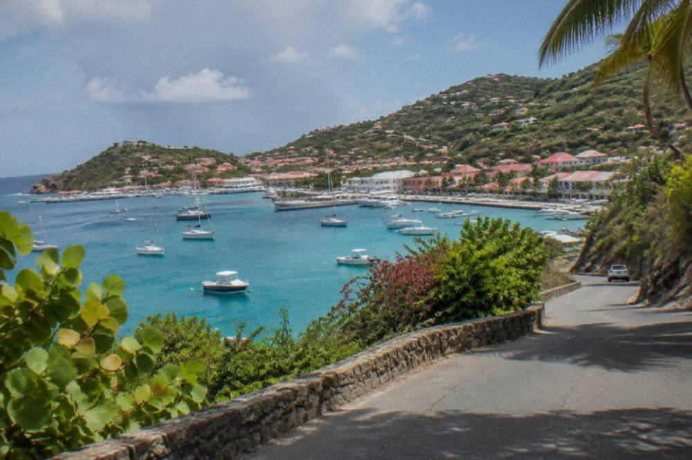
For the water half of the map, three of the boat products appear below with prices, ratings and durations. All depart from St Martin or Sint Maarten, never from St Barts, and the full things to do in St Barts page lists every bookable option alongside the island's free public beaches and open places.
| Product | Type | Departs From | Calls At On This Map |
|---|---|---|---|
| Boomerangs Group Sail and Snorkel | Group sail and snorkel | St Martin / Sint Maarten | Gustavia, Colombier, Ile Fourchue |
| 8-Hour Private Charter | Private day charter | St Martin / Sint Maarten | Gustavia and bays along the ring |
| 2-Day 1-Night Private Catamaran | Overnight charter | St Martin / Sint Maarten | Gustavia and the northwest coast |
The practical planning move is to pick a shore for sleeping, then let the ring road and the boat loops cover the rest. A traveler staying at Grand Cul-de-Sac reaches Gustavia's shops over one ridge; a traveler staying at Flamands watches the boats thread toward Colombier each morning from the hills above the bay.
How Big Is St Barts On A Map?
St Barts covers about 21 square kilometres of land, roughly 24 to 25 including its small offshore islets such as Ile Fourchue, and holds about 10,700 residents, which places it among the smaller inhabited islands of the Caribbean and means the whole ring of neighborhoods fits inside a single short drive at island speed limits. For comparison with a place a reader knows, the island is smaller than Manhattan, a fact covered in this site's dedicated comparison page. Its small size is the reason one ring road and one roundabout can serve every neighborhood listed above, and why the map rewards studying the shoreline rather than the road network.
Which Side Of St Barts Is Best To Stay On?
The best side depends on shore character rather than distance: the leeward north and west, meaning Gustavia, Lorient, Flamands and Grand Cul-de-Sac, hold the sheltered bays and the walkable town, while the south and east, meaning Saline, Gouverneur and Toiny, hold the open, undeveloped stretches that trade convenience for space and wild shoreline. The full decision guide, with area-by-area detail, sits at the best area to stay in St Barts page. Every beach on every side is public, whatever stands behind it.
Do You Need A Car To Reach The Neighborhoods?
A car, or a booked transfer, is the practical way to reach the neighborhoods, because the island's roads are steep and its public transport is minimal, and while taxis operate from the airport and Gustavia they are not a day-to-day substitute for wheels on the hills between bays. Car rental counters at SBH include Avis, Budget and Hertz, alongside local agencies renting small cars and Mini Mokes. The getting around St Barts and St Barts car rental guides cover the details.
Can You See Several Neighborhoods In One Day?
Yes, the island's size means a single day can span Gustavia, Saint-Jean, Flamands and Grand Cul-de-Sac by car, or cover the whole west and northwest ring by boat on a tour that calls at Gustavia, Colombier Beach and Ile Fourchue without any driving at all. The itinerary guides on this site, including the St Barts itinerary and the St Barts in 3 days plan, lay out day-by-day versions of exactly that loop, with beach-hopping and first-timer variants of their own.
For travelers arriving by boat, the overnight catamaran option below extends the same northwest-coast circuit into two days, with pricing and reviews rendered by the compiler.
Common Questions About The St Barts Neighborhoods Map
Where Is St Barts On The Map?
St Barts lies in the northeastern Caribbean, in the Leeward Islands, with the shared island of St Martin and Sint Maarten its nearest large neighbor to the northwest. Its capital, Gustavia, faces west into the Caribbean Sea.
What Is The Capital Of St Barts?
Gustavia is the capital and harbor town, on the island's west side. Ferries from St Martin and Sint Maarten arrive at its quay, and cruise ships anchor offshore and tender passengers in, as there is no cruise pier.
How Many Neighborhoods Does St Barts Have?
The mapped areas on this page are Gustavia, Saint-Jean, Lorient, Flamands, Colombier, Corossol, Grand Cul-de-Sac, Toiny, Saline, Gouverneur, Pointe Milou and the Vitet and Devet hills inland, each with its own guide on this site.
Are All Beaches In Every Neighborhood Public?
Yes, all beaches on St Barts are public, including those in front of hotels and villas. The environment agency prohibits dogs on beaches island-wide under a municipal order, and reserve zones add further rules at places like Colombier.
Which Neighborhood Is Closest To The Airport?
Saint-Jean. Gustaf III Airport's 646 m runway ends at Saint-Jean beach, and the island's single roundabout sits just inland, making Saint-Jean the reference point for the whole road network.