Hiking Trails In St Barts
St Barts is a small, hilly French island where walking means coastal paths to public beaches, viewpoints above Gustavia and dry upland scrub, all under a tropical sun regulated by the island's marine reserve rules.
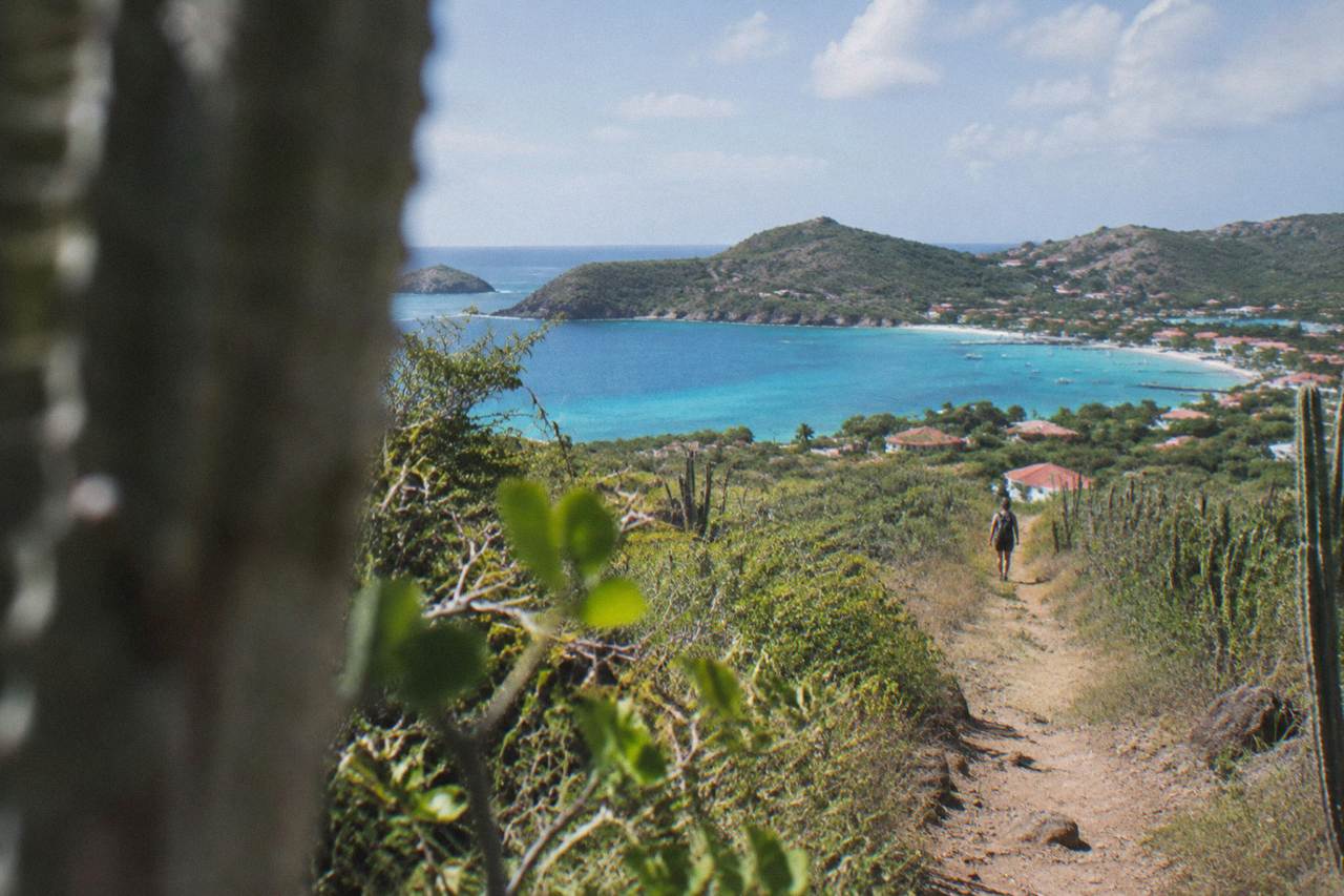
St Barts hiking centers on short coastal paths such as the walk to Colombier Beach, hillside viewpoints around Gustavia and the dry upland interior. The island is about 21 square kilometres, all beaches are public, dogs are banned from them, and the marine reserve limits what you can do at the shoreline. There is no guided walking tour; arrive via St Martin by small plane or ferry and explore on foot with serious sun protection.
St Barthelemy, written St Barts, is a French overseas collectivity in the Caribbean covering about 21 square kilometres, and its shape is the whole story for anyone on foot: a ring of hills, a capital squeezed around a harbour, and public beaches threaded along the coast. Hiking here is not alpine. It is coastal walking under a strong tropical sun, on paths that connect roads, headlands and sand, with the sea nearly always in view. This page, from St Barthelemy Travel, lays out where the island's walking terrain sits, what the rules are, how to arrive, and how the climate shapes the walking year.
What And Where Is The Walking Country In St Barts?
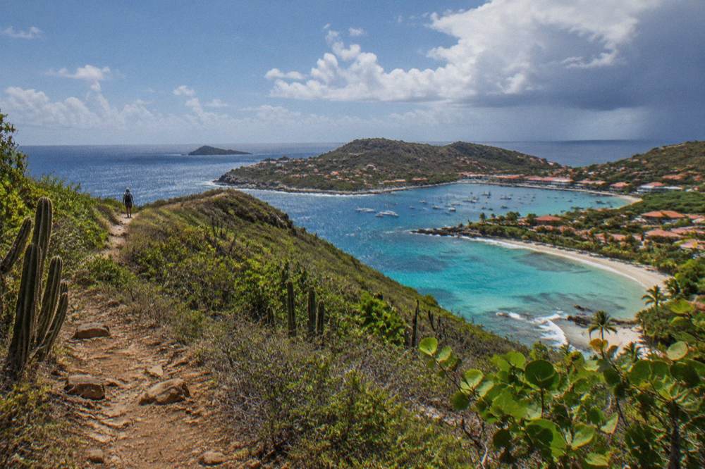
St Barts is a compact island of dry, steep hills and public beaches, and its walking country divides into three kinds of terrain: coastal paths that link roads to sand, hillside slopes above Gustavia, and the dry upland scrub of the interior. The island is about 21 square kilometres, small enough that no two shores are far apart, and every beach on it is public. There is no marked long-distance trail network of the kind found on larger islands.
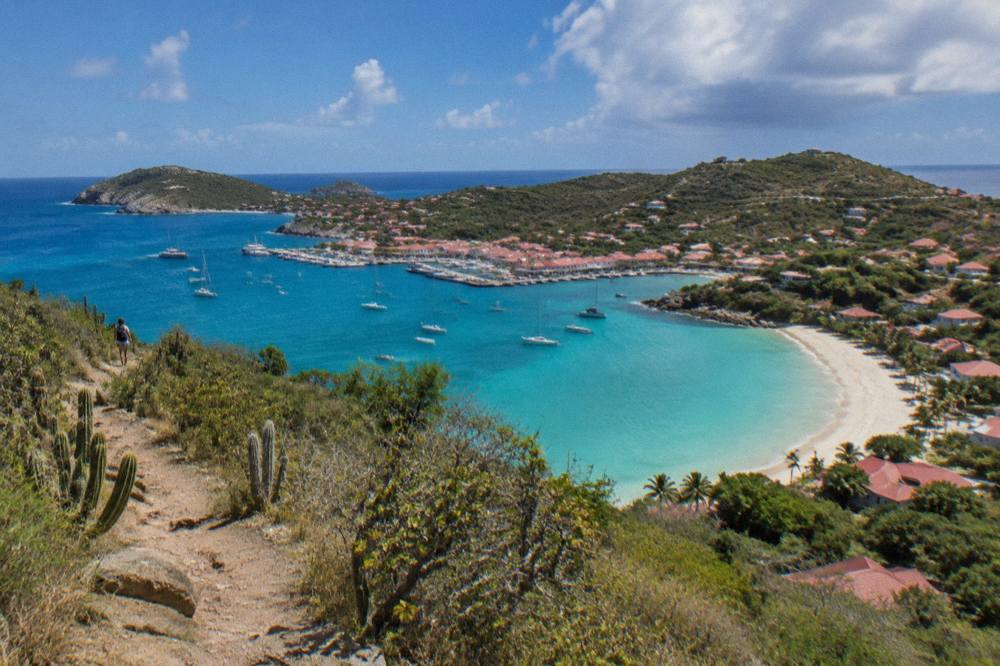
The terrain is the first thing to understand. The island is essentially a set of hills rising straight out of the sea, with Gustavia, the capital, wrapping around its harbour on the leeward side. Beaches sit in the bays between the headlands: Saint-Jean and Lorient on the north coast, Grand Cul-de-Sac and Toiny on the east, Saline and Gouverneur on the south, Flamands and Corossol on the west. Walking between or above them means short, steep gradients on narrow paths and tracks, under sun that the Meteo-France normals put at a mean daily high of 28.5 C even in January.
The most walked coastal objective is Colombier Beach, on the island's northwestern tip, reachable on foot from the road end when sea conditions do not favor boats; the beach and the whole bay sit inside the marine nature reserve, which shapes what walkers should and should not do at the shoreline. Details of the beach itself are on the Colombier Beach guide. Elsewhere, walking tends to mean the beaches themselves, the headlands beside them, and the slopes above Gustavia, where two old forts, Fort Karl and Fort Gustaf, sit as map landmarks above the harbour, near the Wall House Museum and the island's small Swedish-history museum.
The upland interior is dry, low scrub rather than forest, crossed by small roads and tracks. Walkers should treat it as open country with no shade guarantee: plan by map position and by how much water you carry, not by published trail data. That restraint is deliberate. Plenty of second-hand guides print walking times and trail lengths for St Barts; none of those figures comes from a primary island source this site can stand behind.
How Do You Get To St Barts For A Walking Trip?
There is no long-haul flight to St Barts. Arrivals route through St Martin: flights land at Princess Juliana airport on Sint Maarten, and the last leg is either a small turboprop into Gustaf III Airport or a ferry across the channel, Great Bay Express from Philipsburg in about 45 minutes or Voyager from Marigot in about 50 to 60 minutes. Both ferries need a passport.
The island's airport, Gustaf III, also called Remy de Haenen, has a 646 m runway. Only small STOL turboprops operate there, in daylight and visual conditions only; no jet lands on St Barts. The feeder carriers are St Barth Commuter, which flies from St Martin's Princess Juliana airport, from Grand Case on the French side and from Guadeloupe, and Tradewind Aviation, which serves St Barts from San Juan in Puerto Rico and from Antigua. Winair flies the SXM to SBH hop on Twin Otters. From the North American gateways, the practical chain is a flight to St Martin, San Juan, Guadeloupe or Antigua, then one short hop.
| Leg | Route | Operator Or Mode | Notes |
|---|---|---|---|
| Feeder flight | Princess Juliana (SXM) to Gustaf III (SBH) | St Barth Commuter, Winair | A short hop; STOL aircraft only |
| Feeder flight | Grand Case (SFG) to SBH | St Barth Commuter | A short hop from the French side |
| Feeder flight | Pointe-a-Pitre (PTP) to SBH | St Barth Commuter | From Guadeloupe |
| Feeder flight | San Juan (SJU) to SBH | Tradewind Aviation | From Puerto Rico |
| Feeder flight | Antigua (ANU) to SBH | Tradewind Aviation | Seasonal frequency varies |
| Ferry | Philipsburg, Bobby's Marina to Gustavia | Great Bay Express | About 45 minutes |
| Ferry | Marigot terminal to Gustavia | Voyager | About 50 to 60 minutes |
The ferry deserves a plain warning the operators themselves give: the crossing can be rough. Neither operator promises a smooth channel, sailings are subject to weather, and Great Bay Express asks passengers to arrive well before departure with a passport. The operators' live booking pages show current prices. Many walkers combine a St Barts stay with time on St Martin, and the site's Gustavia Harbor page covers the town the ferries arrive in.
If your walking plan is really a St Barts day trip from a St Martin base, the sea route matters more than the air one, because the bookable options all leave from St Martin or Sint Maarten and never from St Barts itself.
Which Beaches And Shores Can You Walk To In St Barts?
Every beach on St Barts is public and free to access, from Saint-Jean and Grand Cul-de-Sac on the north and east to Saline, Gouverneur and Shell Beach on the south and west. That single legal fact makes the island unusually walkable: no shore is closed to a walker, and the walking between beaches follows public roads and paths rather than private frontage. Access points and parking vary by bay.
Because the beaches are the island's main walking destinations, the geography matters. Saint-Jean sits beside the airport on the north coast, a long crescent under the flight path. Lorient lies just east of it, calmer and more residential. Grand Cul-de-Sac curves on the northeast corner, Toiny faces east into the Atlantic, and Petit Cul-de-Sac tucks beside it. Saline and Gouverneur open south. On the west, Flamands is wide and exposed, Corossol keeps its fishing-village character, and Shell Beach sits a short walk from Gustavia itself, which makes it the easiest shore to reach on foot from the capital.
| Beach | Side Of The Island | Character From The Map |
|---|---|---|
| Saint-Jean | North | Crescent bay beside the airport |
| Lorient | North | Residential bay east of Saint-Jean |
| Grand Cul-de-Sac | Northeast | Long curved bay, shallow water |
| Toiny | East | Open Atlantic-facing shore |
| Saline | South | Wide bay behind a dune line |
| Gouverneur | South | Long south-facing sweep |
| Flamands | West | Broad exposed beach |
| Corossol | West | Village shore northwest of Gustavia |
| Shell Beach | West, near Gustavia | Rocky cove within walking reach of town |
Each has its own page on this site with position detail: see Saline Beach, Gouverneur Beach, Shell Beach, Flamands Beach and Saint-Jean Beach. One rule cuts across all of them and surprises many visitors: dogs are prohibited on every beach on the island, on leash or not, under a municipal order the environment agency repeats on its beach-rules page. Walkers with pets should plan accordingly and keep to the roads.
Colombier deserves its own note because it is the closest thing St Barts has to a destination hike. The bay is part of the marine reserve, reached on foot from the road end on the island's northwestern approach, and it is also the anchor of several boat itineraries from St Martin.
What Rules Apply Around The Trails And Shores Of St Barts?
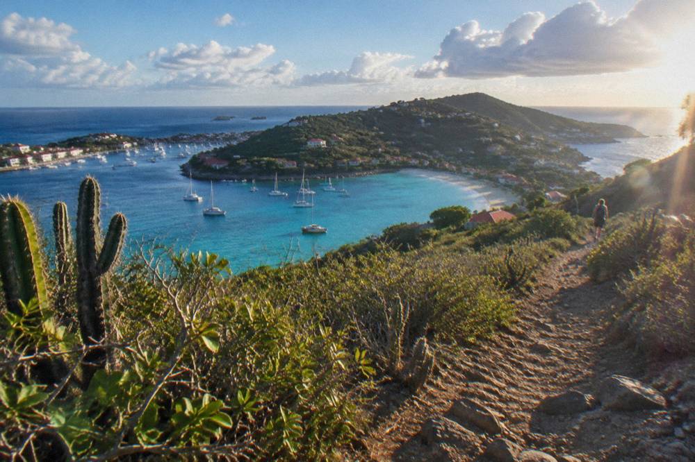
The St Barts marine nature reserve imposes a 5-knot speed limit in its zones, bans jet skis, lists 23 dive sites, prohibits dogs on beaches and forbids touching turtles or any protected species, according to the territorial environment agency's regulatory-zones page. Walkers meet these rules most directly at Colombier and other reserve shores: no collecting shells, coral, sand or rocks, and no drones without authorization.
The reserve covers five zones, including Colombier Bay and Ile Fourchue, and its rules reach above the waterline as well as below it. For a walker, the practical list is short. Do not take anything off the beach, shells included. Do not touch, chase or feed turtles, corals, urchins, starfish, sharks or rays. Keep dogs off the sand everywhere on the island, reserve or not. Do not fly a drone near or inside reserve zones without prior authorization, which matters because the headland paths are exactly where visitors want aerial photos.
| Reserve Or Island Rule | What It Means On Foot |
|---|---|
| 5-knot limit in protected zones | Boat traffic near shore is slow; swimmers and waders share the bays |
| No dogs on any beach | Applies island-wide, leashed or not |
| No collecting | Shells, coral, sand and rocks stay where they lie |
| No touching protected species | Includes sea turtles in the water and on the sand |
| No jet skis or towed devices | Reserve waters stay quiet for swimmers and snorkelers |
| Drones restricted | Authorization required near reserve zones |
| No vessels over 25 m in Colombier and Fourchue bays | Keeps the anchorage small-scale |
Green and hawksbill turtles are present in the island's waters, and the environment agency asks that nests and sightings be reported rather than approached. The agency also flags light and noise near nesting areas, so early-morning and late-afternoon walkers on southern beaches should simply give the upper sand undisturbed. None of this limits walking itself; the trails and beaches remain open and free. It limits what leaves in your pockets and what flies over your head.
For walkers whose route is really the shoreline seen from the water, the reserve rules follow the boat too, which is one reason the group sail that visits Colombier and Ile Fourchue runs the way it does.
When Is The Best Season For Hiking In St Barts?
The island is warm year-round, with mean daily highs from 28.5 C in January to 31.7 C in September per the Meteo-France normals 1991 to 2020, and 891.3 mm of rain a year falling heaviest in October at 135.6 mm. The tradeoff is direct: the cooler, drier months from December through April are the comfortable walking window, while hurricane season, 1 June to 30 November, overlaps the warmest and wettest stretch.
The climate table is worth reading rather than paraphrasing, because the island's rainfall is strongly autumn-weighted. February is the low month at 38.4 mm, March follows at 41.4 mm, and the totals climb through summer to 135.6 mm in October and 118.6 mm in November. Temperatures barely move: the mean daily high stays between 28.5 C and 31.7 C in every month of the year, and the sea stays warm throughout. Everything else covered here is indexed on St Barthelemy Travel.
| Month | Mean Daily High C | Rain Mm |
|---|---|---|
| Jan | 28.5 | 52.6 |
| Feb | 28.6 | 38.4 |
| Mar | 29.0 | 41.4 |
| Apr | 29.8 | 50.9 |
| May | 30.7 | 61.7 |
| Jun | 31.2 | 56.0 |
| Jul | 31.2 | 80.4 |
| Aug | 31.6 | 79.6 |
| Sep | 31.7 | 96.9 |
| Oct | 31.4 | 135.6 |
| Nov | 29.9 | 118.6 |
| Dec | 28.9 | 79.2 |
Figures from the Meteo-France normals, 1991 to 2020, for the St Barthelemy station.
Two seasonal realities sit beside that table. First, the Atlantic hurricane season runs from 1 June to 30 November, with the peak of activity from mid-August to mid-October. Second, the island's commercial rhythm tracks the weather: many hotels and restaurants close each autumn and reopen in waves between mid-October and early November for the new season, so a walking trip planned for October should confirm what is open. Irma, the hurricane that struck the island in September 2017, remains the reference event, and the island rebuilt around it.
The shoulder months around that window, roughly May and again late November, can offer a middle ground, and the site's season guide covers them month by month. The one per-person group sail listed here runs only from 12 May to 31 August 2027 on its listing, a useful marker of when the operators themselves consider the summer sea workable.
What Should You Pack And How Do You Move Around For Day Walks?
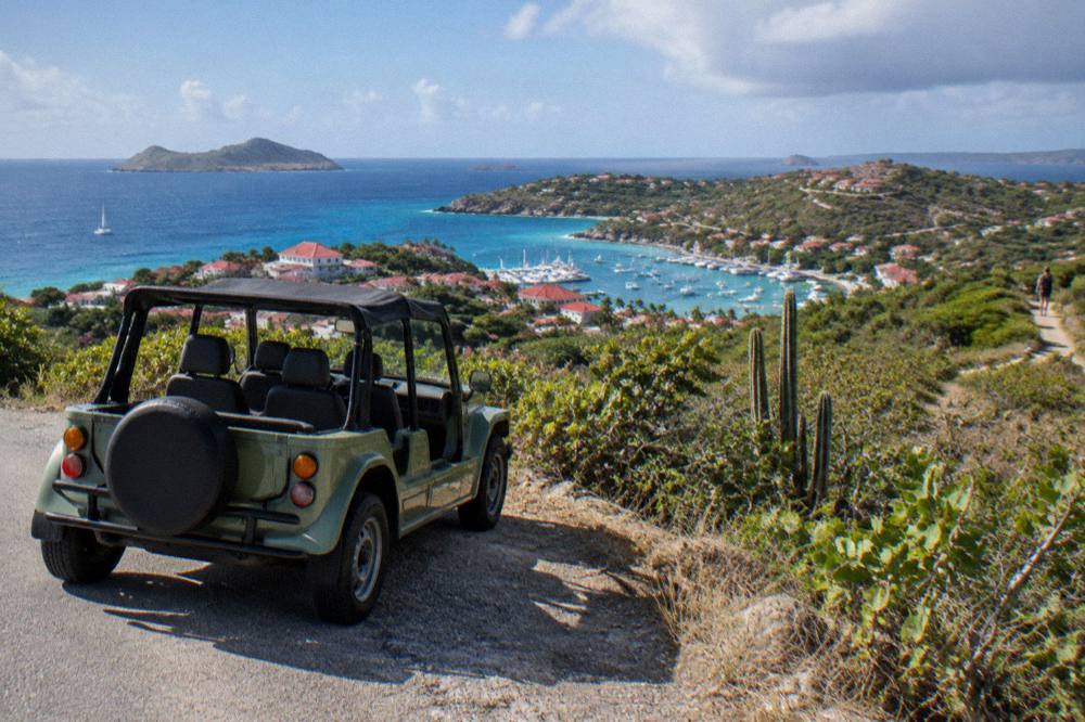
Sun protection, more water than feels reasonable and closed shoes for rocky ground are the core kit, because the Meteo-France normals show every month warm and the island's walking surfaces are steep, scrubby and exposed. For moving between trailheads, driving is on the right, roads are narrow and steep, and rental counters at Gustaf III airport include Avis, Budget and Hertz alongside local agencies and Mini Moke specialists. Printed distances and walking times on this island are approximate.
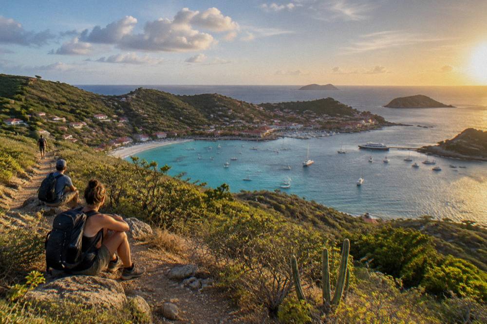
The packing logic follows the terrain. The interior scrub gives little reliable shade, the coastal paths cross rock and loose stone, and the sun is a tropical constant rather than a variable. A hat, high-factor sunscreen, more water than the distance suggests, and shoes with grip do more for a St Barts walk than any specialized equipment. The environment agency's beach rules add one packing note: nothing collected leaves the beach, so leave the bag space for water instead of shells.
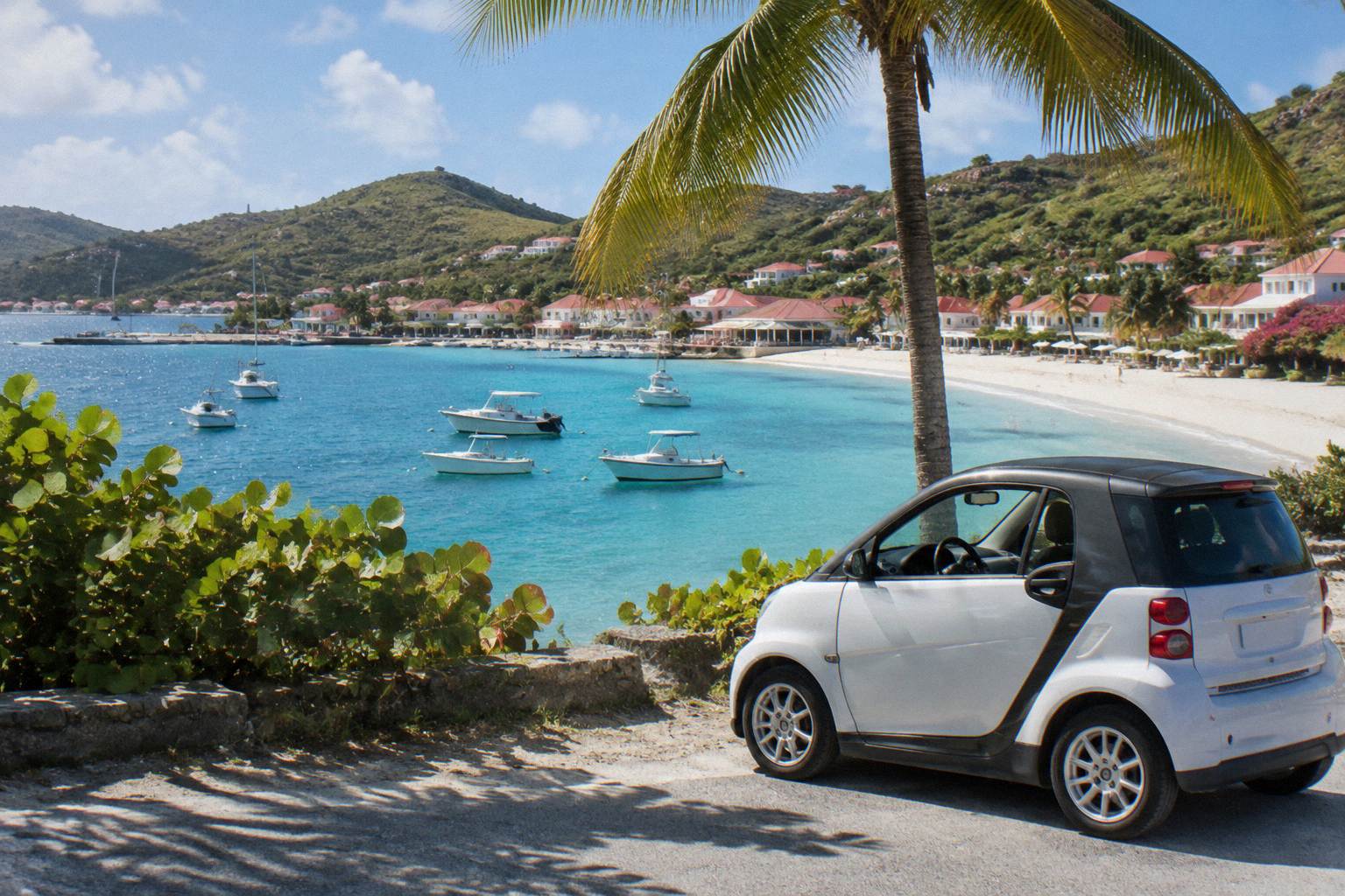
Getting between walking bases is usually by car. The island drives on the right under French traffic rules, the roads are narrow, winding and steep, and the airport rental counters include the international brands plus local operators, with Mini Mokes available through local agencies. Rental terms, including minimum driver age, vary by company, so confirm with the counter directly. Many walkers base in Gustavia for the west-coast paths or in Saint-Jean for the northern beaches; the site's area guides, including the Lorient and Grand Cul-de-Sac pages, cover each base's position. Taxis operate island-wide, with no meters; agree the fare before setting off.
A practical island snapshot, with every figure in one place:
| Island Fact | Figure |
|---|---|
| Status | French overseas collectivity since 2007 |
| Area | About 21 square kilometres |
| Population | About 10,700 |
| Capital | Gustavia |
| Currency | Euro |
| Language | French official, English widely spoken |
| Time zone | UTC-4, no daylight saving |
| Airport | Gustaf III (SBH), 646 m runway, no jets, daylight only |
One entry-level clarification worth a sentence: St Barts sits outside the Schengen area, so the entry rules are French overseas rules rather than Schengen ones, and ETIAS does not govern entry. Check your own government's travel advice for passport and document requirements before booking.
Can You See The Hiking Coast From The Water Instead?
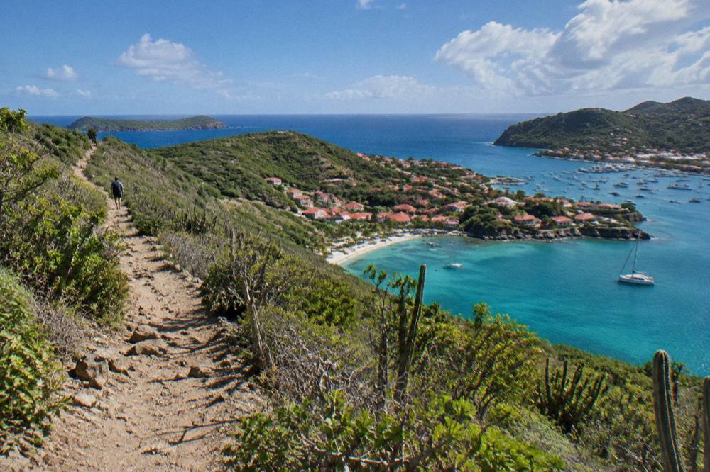
Yes, and on St Barts the water view and the walking view are two halves of the same landscape: the headlands, Colombier Bay and Ile Fourchue that the coastal paths cross are the same shores the boats from St Martin sail past. Every bookable trip listed here departs from St Martin or Sint Maarten, never from St Barts, and the options run from a per-person group sail and snorkel day to private charters and a two-day overnight catamaran.
This matters for planning because a walking itinerary and a boat day dovetail neatly. The group sail from St Martin visits Gustavia, Colombier Beach and Ile Fourchue in one day, covering by sea what would take several walks to piece together on land; its full detail is on the Gustavia, Colombier and Ile Fourchue sail page. Private charters, priced per group, let a party set its own balance of shoreline time and swimming stops, still departing from the St Martin side. The overnight catamaran option adds a night at anchor, which puts sunrise and sunset on the itinerary in a way day trips cannot.
For walkers, the sensible sequence is to do the land legs first, while legs are fresh, and reserve the boat day for the middle of the week when the marine forecast is known. Remember the reserve rules apply on the water: the 5-knot limit in protected zones, no touching turtles, and the anchoring restrictions in Colombier and Fourchue bays.
A second option for parties that want the whole boat:
And the overnight version for the fullest version of the coastline.
What Else Should A Walking Visitor Know About St Barts?
St Barts is safe, French-administered and small, with emergency numbers 15 for medical, 17 for police, 18 for fire and 112 as the European general number, euro currency and UTC-4 time with no daylight saving. Entry follows French overseas rules outside Schengen, a taxe de sejour of 5 percent of the nightly room price is collected by accommodations, and ships tender rather than dock, so there is no cruise pier.
The basics are stable and worth having in one place. Plug types on the island are C and E. Credit cards are widely accepted. Tap water quality and every soft claim of that kind sit outside the scope of this article, so nothing is asserted here. The island's attractions beyond walking cluster in Gustavia's harbor front and museums and along the beach ring; the Nikki Beach and Le Select pages cover two very different landmarks, one a beach-club institution, the other a Gustavia standby.
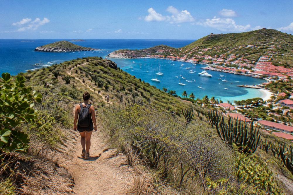
There is no guided or free walking tour on this island, and the trip list contains no on-island guided product. What exists are the beaches, open and free, the public roads and paths, and the sea trips from St Martin. That is the honest shape of a St Barts walking holiday: self-guided by necessity, small in scale, and framed everywhere by the marine reserve's rules and the sun.
Common Questions About Hiking In St Barts
Hiking in St Barths means short, self-guided coastal and hill walking on an island of about 21 square kilometres where every beach is public, no guided or free walking tour is on offer, dogs are banned from all sand, and the marine reserve forbids collecting shells or touching turtles. Access is via St Martin by STOL aircraft or ferry, and the comfortable walking season runs roughly December to April, outside the autumn rain peak.
Are there marked hiking trails in St Barts?
The island has coastal paths, hillside tracks and beach walks, with the route to Colombier Beach the best known objective. No trail has an official length, gradient, marking status or walking time, so plan by map position and daylight rather than published trail data.
Can you hike to Colombier Beach?
Yes, on foot from the road end on the island's northwestern approach. The bay sits inside the marine nature reserve, so the reserve rules apply: no collecting, no dogs, no touching turtles, and drones only with authorization. Boat trips from St Martin also call there.
Is there a free walking tour in St Barts?
No guided walking tour of any kind is offered on the island, and the trip list contains no on-island guided product. What is free are the public beaches and open public places, all of them accessible without charge or booking.
What is the best month for walking in St Barts?
By the Meteo-France normals 1991 to 2020, February and March are the lightest rain months at 38.4 mm and 41.4 mm, with mean daily highs near 29 C. October is the wettest at 135.6 mm and sits inside hurricane season, which runs 1 June to 30 November.
Do you need a car for hiking in St Barts?
Most walkers use one, because the roads are how you reach scattered trailheads and the island drives on the right. Rental counters at Gustaf III airport include Avis, Budget and Hertz plus local agencies and Mini Moke specialists; terms vary by company. Gustavia and Saint-Jean bases put several shores within walking reach.
Can I take my dog on the trails and beaches?
Not on the beaches. Dogs are prohibited on every beach on the island, leashed or not, under a municipal order the environment agency repeats on its beach page. Roads and village streets are a different matter, but plan a beach walk without the dog.