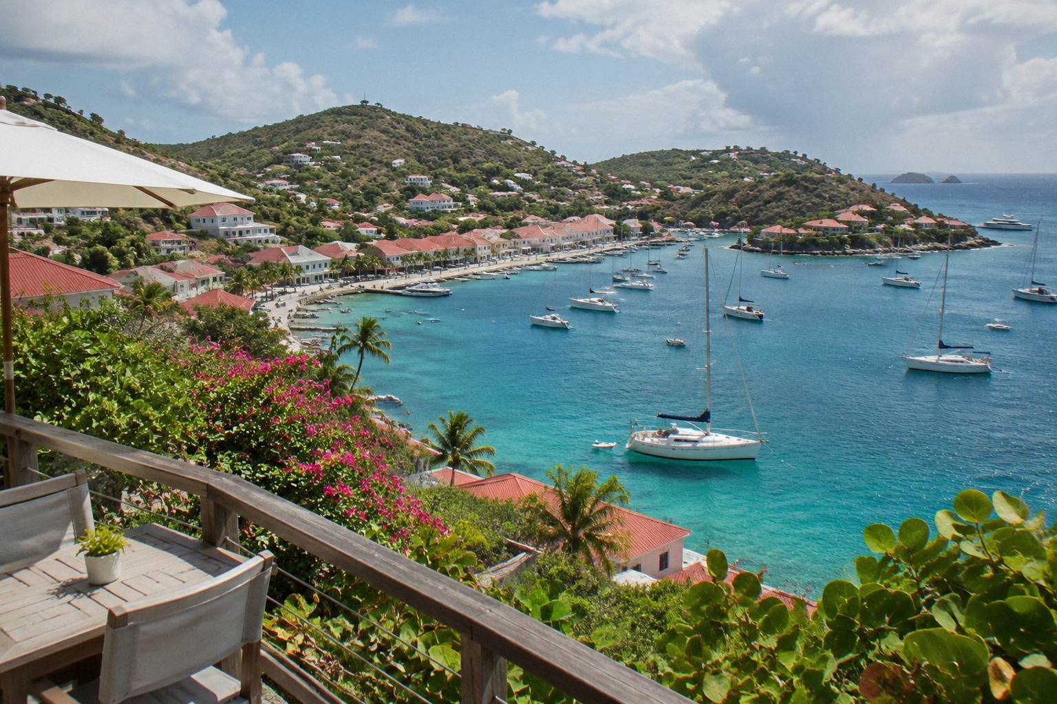
Petit Cul-De-Sac
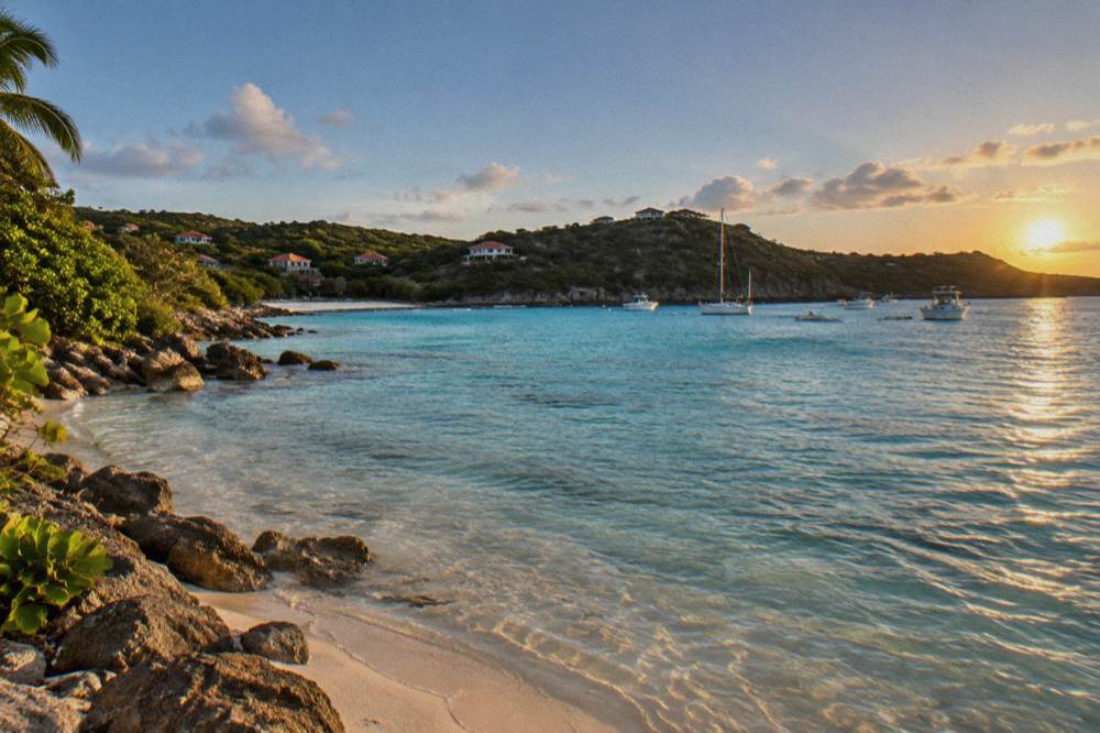
Petit Cul-de-Sac is a small cove on the northeast coast of St Barts, beside the larger bay of Grand Cul-de-Sac, with a public shoreline inside the island's marine reserve framework.
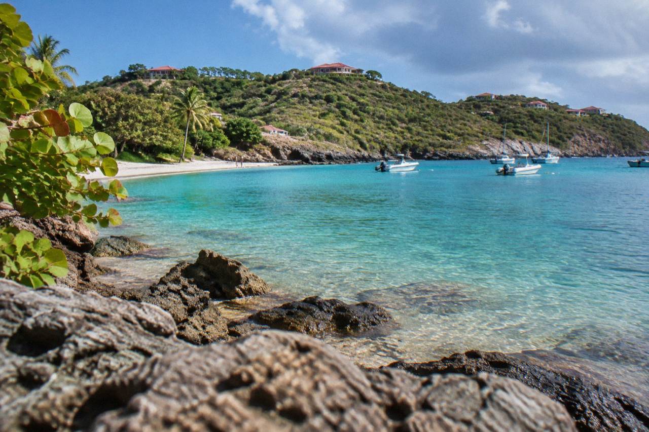
Petit Cul-de-Sac sits on the northeast coast of St Barts next to Grand Cul-de-Sac. The shoreline is public, the waters fall under marine reserve rules, and sea turtles are regularly reported in the area's lagoon.
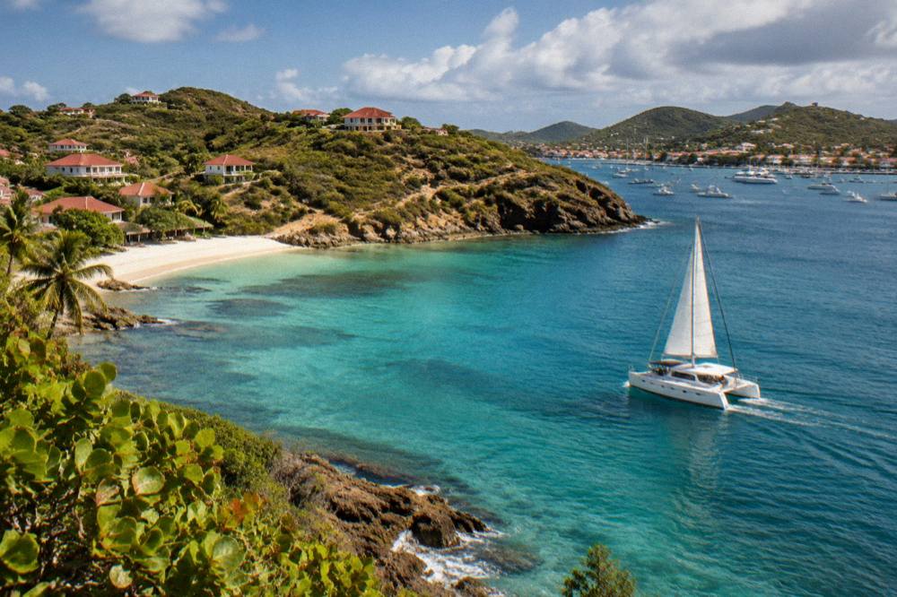
Petit Cul-de-Sac is a small cove on the northeast coast of St Barts, the French Caribbean island of St Barthelemy, sitting immediately beside the broader bay of Grand Cul-de-Sac. The island is about 21 square kilometres of hills, public beaches and turquoise water, an overseas collectivity of France since 2007, with Gustavia as its harbour capital, the euro as currency and French as the official language alongside widely spoken English. On a map, Petit Cul-de-Sac reads as the smaller eastern pocket of water tucked behind the headland that frames its larger neighbour, with the hills of Vitet rising inland behind it. This page covers the cove: its position, its public status, the marine reserve rules that govern its waters, the turtles reported in the adjacent lagoon, and how a visit fits into a wider St Barts trip.
Where Is Petit Cul-De-Sac In St Barts?
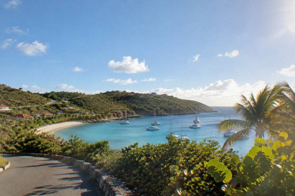
Petit Cul-de-Sac lies on the northeast coast of St Barts, directly beside Grand Cul-de-Sac, forming the smaller of the two bays behind the headland that separates them. The hills of Vitet sit inland to the south, and the coast continues north toward Toiny and the wilder eastern shore. On the island's map it is a short way east of Lorient and well east of Gustavia.
The island's road network reaches the northeast coast by narrow, winding and steep routes, a driving environment described in every practical source on the territory: French traffic rules apply, the drive is on the right, and roads climb and dip between the bays. Petit Cul-de-Sac itself is a place on the map rather than a built-up destination: the shoreline, the water and the adjacent hillside define it, not a strip of venues. This cove sits in the cluster of northeast shoreline that includes Grand Cul-de-Sac, Lorient and Anse des Cayes further around the coast.
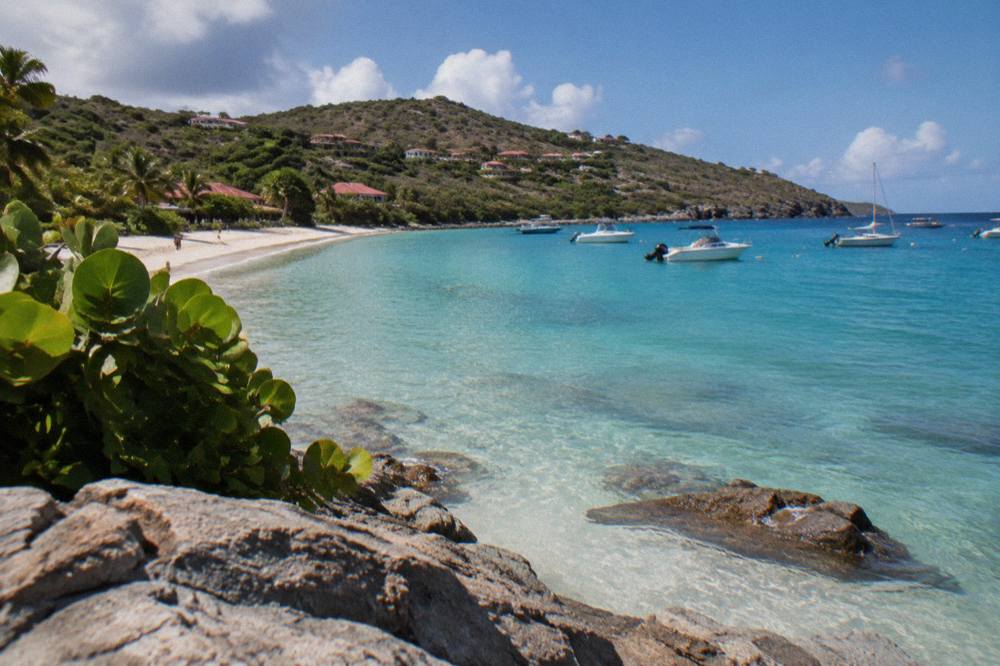
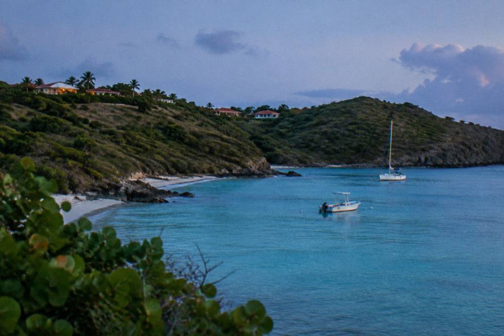
For orientation, the table below places the cove against its neighbours by position.
| Place | Position On The St Barts Map |
|---|---|
| Petit Cul-de-Sac | Northeast coast, the small bay east of Grand Cul-de-Sac |
| Grand Cul-de-Sac | Northeast coast, the large bay immediately west of Petit Cul-de-Sac |
| Lorient | North coast, west of Grand Cul-de-Sac |
| Toiny | Southeast coast, south of Petit Cul-de-Sac |
| Anse des Cayes | North coast, west of Lorient |
| Gustavia | Southwest coast, the harbour capital |
Readers planning a wider stay can pair this page with the Grand Cul-de-Sac beach guide and the Grand Cul-de-Sac area guide for the bay next door.
Is Petit Cul-De-Sac A Public Beach In St Barts?
Yes. Every beach on St Barts is public, and the tourism committee's own material lists the island's shoreline as free to access, which includes the small coves of the northeast coast such as Petit Cul-de-Sac. There is no private beach regime on the island, no entry fee framework and no members-only shoreline, whatever the properties above the sand may suggest.
The public-beach principle is one of the most consistent facts about St Barts across the tourism committee's site and the environment agency's pages. The named beaches, from Saint-Jean and Gouverneur to Saline, Flamands, Colombier, Lorient and the northeast pair of Grand Cul-de-Sac and Petit Cul-de-Sac, all sit under the same rule. Access to some of them runs along paths or lanes, and the island's rules apply equally at each one: dogs are banned from all beaches island-wide under a municipal order, even on a leash, with signs posted at entrances and fines for violations. The environment agency states the ban protects wildlife including nesting turtles and shore birds.
No description of the sand, the waves, the currents or the facilities at this or any specific cove appears here. For a planner, the shoreline is public, the setting is a map fact, and everything beyond that is discovered on arrival.
| Beach On St Barts | Coastal Position |
|---|---|
| Saint-Jean | North coast, by the airport |
| Gouverneur | South coast |
| Saline | South coast, east of Gouverneur |
| Shell Beach (Grand Galet) | By Gustavia |
| Flamands | North coast, west of Grand Cul-de-Sac |
| Grand Cul-de-Sac | Northeast coast |
| Petit Cul-de-Sac | Northeast coast, beside Grand Cul-de-Sac |
A full island-wide orientation is in the guide to things to do in St Barts, and the sister pages for Saline, Flamands and Saint-Jean cover other public shores.
Because the best of the St Barts coast is seen from the water, day trips by boat from St Martin are the main bookable option that touches these bays.
What Rules Apply In The Waters At Petit Cul-De-Sac?
The St Barts marine reserve framework sets a 5-knot speed limit in its protected zones, bans jet skis, seabobs and towed motorized devices, forbids touching or feeding protected species including sea turtles and corals, and prohibits dogs on beaches and in the water within reserve areas, according to the environment agency's regulatory-zones page. Collecting coral, shells, sand or rocks is banned.
The Agence Territoriale de l'Environnement, the territorial environment agency, administers the Reserve Naturelle Nationale of Saint-Barthelemy, whose zones cover five areas including the northeast coast's waters. The rules matter at Petit Cul-de-Sac because the adjacent lagoon of Grand Cul-de-Sac is one of the named turtle habitats, and the same protected waters continue around the headland. Alongside the headline bans, the agency prohibits gloves in the water, underwater lighting and noise pollution, restricts drones near or within reserve zones without authorization, and limits anchoring in favour of ecological mooring buoys where they exist. Vessels over 25 metres are excluded from the mooring bays at Colombier and Ile Fourchue.
For a swimmer or snorkeller the practical translation is simple: look, do not touch, take nothing, and leave the turtles alone. For anyone arriving by boat, the speed limit and the buoy rules shape the whole approach. The agency asks that turtle nests or sightings be reported, and its beach rules page repeats the island-wide dog ban in reserve areas.
| Marine Reserve Rule | What It Means At The Shore |
|---|---|
| 5-knot speed limit | Boats travel slowly inside protected zones |
| No jet skis or seabobs | Motorized and electric water devices are banned |
| No touching turtles or corals | Protected species are observation only |
| No collecting | Coral, shells, sand and rocks stay in place |
| No dogs | Banned on beaches and in the water in reserve areas |
| Drone restrictions | Authorization required near or in reserve zones |
Can You See Sea Turtles At Petit Cul-De-Sac?
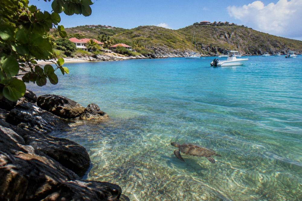
Green and hawksbill turtles are reported as common in the Grand Cul-de-Sac lagoon and around the northeast coast's waters, including the bay beside Petit Cul-de-Sac, and the environment agency strictly prohibits touching, chasing or disturbing them on beaches or in the water. Nest sightings should be reported to the agency rather than approached.
The turtle facts come from the environment agency's beach pages and its regulatory material. The lagoon at Grand Cul-de-Sac is one of the places turtles are regularly reported, and the agency's guidance covers behaviour near nesting areas: reduce light and noise, keep dogs and waste away from nests, and report sightings. The nesting season detail is not specified, so no month-by-month claim belongs here. What a visitor can hold onto is the rule, not a schedule: turtles are protected year-round, the prohibition on contact is absolute, and the fine framing of the dog ban applies to the same shores.
Snorkelling from the shore at the northeast bays is one of the free activities on the island, needing nothing but a mask and respect for the reserve rules. Boat-based snorkelling trips also operate, though every bookable product listed here departs from St Martin or Sint Maarten, never from St Barts itself. The St Barts sea turtles guide and the page on land-based snorkelling beaches carry the fuller picture.
For travellers who want a boat day built around this coast, a private charter is the most direct route, since the itinerary follows the coast and the skipper handles the reserve rules.
What Is The Weather Like At Petit Cul-De-Sac?
The Meteo-France normals, 1991-2020, for the St Barthelemy station show a mean daily high of 28.5 C in January rising to 31.7 C in September, with 891.3 mm of rain across the year and October the wettest month at 135.6 mm. The island is warm year-round, and the sea stays warm, about 26 C in winter to about 29 C from August to October.
Those numbers describe the island as a whole; there is no separate microclimate record for a single cove. February shows the lowest monthly rainfall in the normals at 38.4 mm and October the highest at 135.6 mm, while the hurricane season runs from 1 June to 30 November with its peak from mid-August to mid-October and a climatological peak near 10 September. None of that predicts any particular day at Petit Cul-de-Sac. The planning use of the table is seasonal shape: warm and drier in the winter months, warmer and wetter through late summer and autumn, with the usual autumn pattern of hotel and restaurant closures on the island before reopenings between mid-October and early November. The full index of guides sits on St Barthelemy Travel.
| Month | Mean Daily High C | Mean Daily Low C | Rain MM |
|---|---|---|---|
| Jan | 28.5 | 23.5 | 52.6 |
| Feb | 28.6 | 23.3 | 38.4 |
| Mar | 29.0 | 23.5 | 41.4 |
| Apr | 29.8 | 24.2 | 50.9 |
| May | 30.7 | 25.1 | 61.7 |
| Jun | 31.2 | 25.9 | 56.0 |
| Jul | 31.2 | 26.0 | 80.4 |
| Aug | 31.6 | 26.3 | 79.6 |
| Sep | 31.7 | 26.2 | 96.9 |
| Oct | 31.4 | 25.8 | 135.6 |
| Nov | 29.9 | 25.0 | 118.6 |
| Dec | 28.9 | 24.1 | 79.2 |
Season-by-season planning, including the hurricane-season window in detail, is covered in the best time to go guide.
How Do You Get To Petit Cul-De-Sac On St Barts?
Visitors reach St Barts through St Martin, arriving either by the small STOL turboprops that serve Gustaf III Airport with its 646-metre runway, or by the scheduled ferries from Philipsburg and Marigot to Gustavia, and then drive the island's narrow roads to the northeast coast. St Barth Commuter flies from St Martin and Guadeloupe, Tradewind from San Juan and Antigua, and no jet lands on the island.
The two ferry operators are Great Bay Express from Bobby's Marina in Philipsburg on the Dutch side, about 45 minutes to Gustavia, and Voyager from the Marigot terminal on the French side, about 50 to 60 minutes, both "about" figures from the operators and both subject to weather. The airport at St Barts operates in daylight and visual conditions only, which is why the aircraft are small turboprops and why the schedule shrinks with the daylight. From Gustavia, the way to Petit Cul-de-Sac is by road: rental counters at the airport include Avis, Budget and Hertz, local agencies rent the island's Mini Mokes and small cars, and the drive is on the right under French rules, on steep and winding roads with an island-wide speed limit of 50 km/h and 30 km/h in built-up areas such as Gustavia and St Jean. Taxis also operate on the island.
No walking time, drive time or parking information for this specific cove is available. The practical advice that does survive verification: book vehicles ahead for the December-to-April period, expect small vehicles to suit the roads better than large ones, and confirm rental terms with the company, since policies such as the minimum driver age vary by firm.
| Route To St Barts | Operator Or Mode | Notes From The Operators' Pages |
|---|---|---|
| Philipsburg to Gustavia | Great Bay Express ferry | About 45 minutes, from Bobby's Marina |
| Marigot to Gustavia | Voyager ferry | About 50 to 60 minutes, from the Marigot terminal |
| St Martin (SXM) to St Barts | Small-plane carriers | Short hop, STOL aircraft only |
| San Juan and Antigua to St Barts | Tradewind | Scheduled PC-12 service |
The full arrival picture, including the airport itself, is in the guides on how to get to St Barts and getting around St Barts.
What Sits Near Petit Cul-De-Sac On The Northeast Coast?
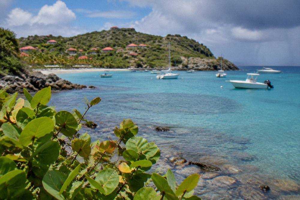
The northeast coast around Petit Cul-de-Sac holds Grand Cul-de-Sac immediately to the west, the hills of Vitet inland, and the coast running on toward Toiny to the south and Lorient to the northwest, with the island's fuller shoreline, including the hotels of the Grand Cul-de-Sac bay, mapped in the area guide. All of it sits within a short drive on an island of about 21 square kilometres.
Grand Cul-de-Sac is the anchor of the northeast. It is the large bay, the one with hotels along its shore, among them Le Barthelemy and the property at Guanahani, becoming Airelles Le Guanahani on 1 November 2026, with reopening each year following the island's autumn pattern. The isle de France property sits at Flamands on the north coast rather than here, but the northeast bay carries several of the island's established hotels, and the area guide linked above holds the detail. Inland, the Vitet hills give the northeast its backdrop, and the road between Grand Cul-de-Sac and Toiny crosses the headland that closes this corner of the island.
| Nearby Place | Direction From Petit Cul-de-Sac | Character From The Map |
|---|---|---|
| Grand Cul-de-Sac | Immediately west | Large bay, hotel shore |
| Toiny | South past the headland | Southeast coast |
| Lorient | Northwest | North-coast bay and village |
| Vitet hills | Inland south | Rising inland terrain |
| Pointe Milou | West along the coast | Headland area |
| Gustavia | Southwest across the island | Harbour capital |
Other shores worth pairing with a northeast morning include Gouverneur, Colombier, Lorient and Anse des Cayes, all public, all mapped in this site's attraction guides.
Can You Visit Petit Cul-De-Sac By Boat From St Martin?
Yes, as part of a St Barts day trip. Every bookable boat product listed here departs from St Martin or Sint Maarten, from the departure points at Simpson Bay, Cole Bay, Anse Marcel and Grand Case, and none starts on St Barts itself. Options range from a per-person group sail to private charters priced per group, plus one overnight catamaran itinerary.
The group sail listed here, the Boomerangs trip that visits Gustavia, Colombier and Ile Fourchue, runs its per-person format only from 12 May to 31 August 2027 on its listing, and its route is a full day on the water rather than a shuttle to a single cove. Private charters give the closest thing to a Petit Cul-de-Sac-focused day, since the party agrees the itinerary with the operator, subject always to the reserve's 5-knot zones and mooring rules on the day. An overnight option extends the same idea across two days. Booking and live pricing for each are on the operators' live listings, and the button below shows current availability for the featured trip.
The overnight version suits travellers who want the coast at dawn and dusk rather than on a day-return schedule.
For a fuller comparison of the two islands' characters before committing, read St Barts versus St Martin and the St Maarten before or after St Barts guide. The featured group sail also has its own detail page as a St Barts Gustavia, Colombier and Ile Fourchue sail, and live spaces can be checked with the operator directly: See the live listing.
Common Questions About Petit Cul-De-Sac In St Barts
Is Petit Cul-de-Sac a public beach?
Yes. All beaches on St Barts are public, per the tourism committee's material, including the small northeast coves. Dogs are banned on all beaches island-wide, even on a leash.
Can you swim at Petit Cul-de-Sac?
The shoreline is public and the sea is warm year-round, about 26 C in winter to about 29 C from August to October.
Are there turtles at Petit Cul-de-Sac?
Green and hawksbill turtles are reported as common in the adjacent Grand Cul-de-Sac lagoon and nearby waters. Touching, chasing or feeding them is prohibited, and sightings or nests should be reported to the environment agency.
How do you get to Petit Cul-de-Sac?
Fly or take the ferry to St Barts via St Martin, then drive the island's narrow roads to the northeast coast. Rental counters at the airport include Avis, Budget and Hertz, and local agencies rent small cars and Mini Mokes.
Are boats allowed in Petit Cul-de-Sac?
The marine reserve framework governs these waters: a 5-knot limit applies in protected zones, jet skis and seabobs are banned, anchoring is restricted in favour of ecological moorings where present, and the environment agency's rules on wildlife and waste apply.
Petit Cul-de-Sac earns its place on an itinerary as the quiet eastern pocket of the northeast coast: public, protected, and best understood through the reserve rules that keep it that way.