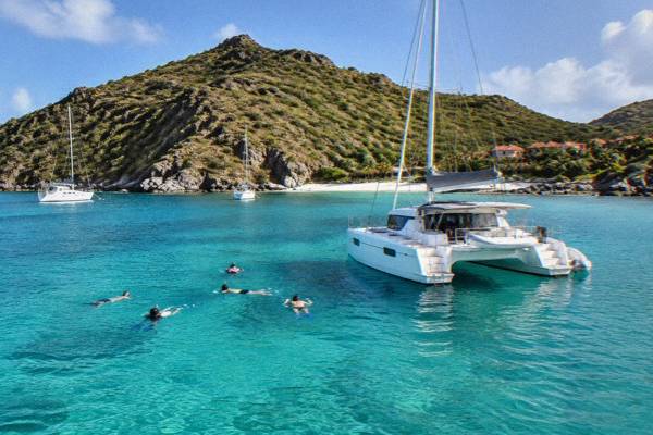
Beaches You Can Snorkel From Shore In St Barts
St Barthelemy, better known as St Barts, is a small French island in the Caribbean where every beach is public and several named bays sit close enough to reef and rock that a swim from shore puts a mask and fins over marine life.
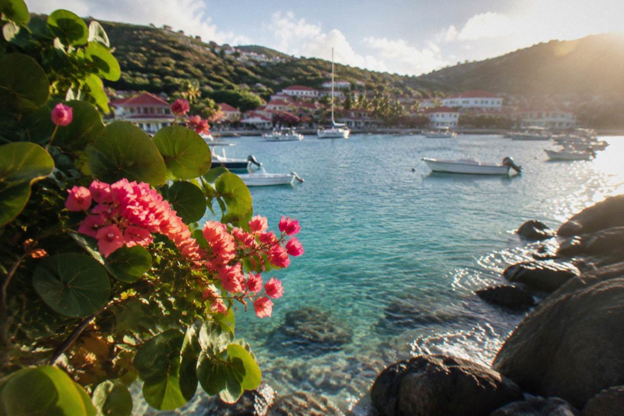
Colombier, Shell Beach (Grand Galet), Grand Cul-de-Sac, Lorient, Corossol, Anse des Cayes and Petit Cul-de-Sac are the St Barts beaches the island's map and tourism listings support for snorkelling from shore; all are public, all fall under marine reserve and municipal rules, and none promises calm or clear water on any given day.
St Barthelemy, better known as St Barts, is a small French island in the Caribbean where the water is warm year round and every beach is public. That combination makes shore snorkelling one of the simplest ways into the sea here: no pier, no club membership, no gate. What the island asks in return is that swimmers respect the rules of the Réserve Naturelle, the marine reserve that wraps much of the coastline and sets hard limits on what you may do in the water and on the sand. This guide covers the beaches the island's own map and listings support for snorkelling from shore, the reserve rules that govern them, when the sea is at its warmest, and how a boat day from St Martin compares with swimming out from the sand.
Where Can You Snorkel From Shore In St Barts?
The St Barts beaches the island's map and listings support for snorkelling straight from the sand are Colombier, Shell Beach (Grand Galet) by Gustavia, Grand Cul-de-Sac, Lorient, Corossol, Anse des Cayes and Petit Cul-de-Sac. Every beach on the island is public, each of these sits close to rock or reef on the map, and none carries a promise of calm or clear water on any given day. The sea decides that, not the beach.
The common thread among these bays is geography. Shore snorkelling in St Barts works where rock meets sand, because the island's reef life clings to hard surfaces. Grand Cul-de-Sac, on the sheltered northeastern coast, and Lorient next to it are the two bays the island's tourism listings describe alongside turtle habitat; the reserve's own turtle guidance names the Grand Cul-de-Sac lagoon as a place where green and hawksbill turtles are common. Corossol, on the west coast north of Gustavia, and Anse des Cayes, on the north shore, are rock-fringed bays where the map alone justifies packing a mask. The answer to how many beaches are in St Barts runs well beyond this shortlist, and the wider set of public beaches is covered in the island's beach guide by coast.
Colombier deserves its own sentence because it is the one shore-accessible bay that is also a headline boat destination. It sits at the northwestern tip of the island, reached by boat or by a walk. Its water falls inside the marine reserve, which changes what you may do there, covered below.
| Beach | Position on the island | Shore snorkelling basis |
|---|---|---|
| Colombier | Northwestern tip | Reserve bay, rock and reef on the map, boat or walk access |
| Shell Beach (Grand Galet) | West coast, walking distance from Gustavia | Rocky bay immediately beside the harbour capital |
| Grand Cul-de-Sac | Northeast coast | Lagoon named by the reserve's turtle guidance |
| Lorient | North coast, west of Grand Cul-de-Sac | Rock-and-sand bay, turtle habitat in reserve guidance |
| Corossol | West coast north of Gustavia | Rock-fringed bay on the map |
| Anse des Cayes | North shore | Rocky shoreline on the map |
| Petit Cul-de-Sac | East of Grand Cul-de-Sac | Small sheltered bay on the map |
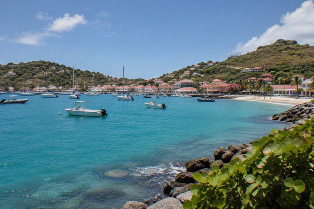
One honest caveat belongs here because the constraints of this island demand it: no source rates any of these beaches for water clarity, wave height, current or safety on any given day, and none should be promised. The Meteo-France station at Gustavia publishes a seven-day forecast for the island, and sea conditions around a small island change with wind direction. A swimmer who checks the morning forecast and looks at the water before entering is doing exactly what the island's own safety guidance would ask.
Which St Barts Beach Should You Pick For Shore Snorkelling?
Pick Grand Cul-de-Sac or Lorient for turtle habitat the reserve itself names, pick Shell Beach for a rocky swim within walking distance of Gustavia, pick Colombier for reserve water reached on foot or by boat, and pick Corossol or Anse des Cayes for rock-fringed bays away from the main swimming beaches. The choice is about position and access.
Position matters more than reputation on an island of about 21 square kilometres. The northern and eastern bays, Grand Cul-de-Sac, Lorient and Petit Cul-de-Sac, face the channel toward St Martin and hold the lagoon habitat the reserve's turtle pages describe. The western bays, Shell Beach and Corossol, sit near Gustavia and its harbour traffic, so swimmers should stay aware of boats. Colombier, the reserve bay at the island's tip, is the only one on the shortlist that routinely appears on boat itineraries from St Martin, which tells you something about its water: it is worth crossing a channel for. The island's beach guide sorted by what each is best for breaks the full set of public beaches down the same way.
| If you want | Bay that fits | Why the map supports it |
|---|---|---|
| Turtles from shore | Grand Cul-de-Sac | Reserve turtle guidance names the lagoon |
| A swim near town | Shell Beach (Grand Galet) | Walking distance from Gustavia |
| Reserve water without a boat | Colombier | Reserve bay with walk or boat access |
| A quiet northern bay | Anse des Cayes | Rock-fringed north-shore bay |
| A west-coast swim | Corossol | Fishing-village bay north of Gustavia |
| Lagoon-style water | Petit Cul-de-Sac | Small bay east of Grand Cul-de-Sac |
For swimmers who want the reef life of Colombier and Ile Fourchue without the walk or the channel swim, a day on the water from St Martin is the other route. The group sail runs to Gustavia, Colombier Beach and Ile Fourchue and carries snorkelling as a core part of the day, and it is the one product listed here priced per person rather than per group, on its listing from 12 May to 31 August 2027. It is featured in detail in the site's coverage of things to do in St Barts, and the band below shows it beside the private alternatives.
A private charter is the same water with a different shape of day: the boat, the route and the schedule are yours, and the private options run from St Martin or Sint Maarten ports such as Simpson Bay, Cole Bay, Anse Marcel and Grand Case. Nothing listed here departs from Gustavia or anywhere else on St Barts itself, which matters when planning, because a shore morning and a boat afternoon cannot both start from the island's harbour unless you live there.
What Rules Apply When You Snorkel In St Barts?
The St Barts marine reserve sets a 5-knot speed limit in its zones, bans jet skis, seabobs, electric surfboards and towed sports, lists 23 dive sites, bars dogs from every beach on the island, and forbids touching, chasing or feeding protected species including sea turtles, corals, urchins and rays, according to the environment agency's regulatory-zones page. Gloves are banned in the water, and collecting coral, shells, sand or rocks is prohibited.
Those rules come from the Agence Territoriale de l'Environnement, the territorial environment agency, and they apply inside the reserve's zones, which include Colombier Bay and the waters around Ile Fourchue. For a shore snorkeller the practical points are the species rules and the collecting ban: look, do not touch, and take nothing home, not even a shell. The turtle rules are strict and specific. Green and hawksbill turtles are common in the Grand Cul-de-Sac lagoon and around Colombier, the agency says, and touching or disturbing them on beaches or in the water is prohibited. Nest sightings should be reported to the agency, which lists a contact number on its beach pages.
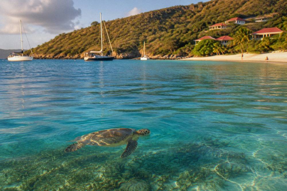
The dog ban is island-wide and long-standing: a municipal order prohibits dogs on all beaches, even on a leash, and the agency's beach page explains the reasoning as protecting birds, reptiles and nesting turtles. The island's fuller set of protected-species and zone rules is laid out in the site's guide to the St Barts nature reserve, and the turtle side of the story, including what to do near a nest, is covered in the guide to sea turtles in St Barts.
| Rule | Where it applies | Who states it |
|---|---|---|
| 5-knot speed limit in reserve zones | Reserve waters including Colombier Bay | Environment agency regulatory-zones page |
| No jet skis, seabobs, electric surfboards, towed sports | Reserve zones | Environment agency regulatory-zones page |
| No touching, chasing or feeding turtles, corals, rays | All reserve waters | Environment agency regulatory-zones page |
| No gloves in the water | Reserve zones | Environment agency regulatory-zones page |
| No collecting coral, shells, sand, rocks | Reserve zones | Environment agency regulatory-zones page |
| No dogs on beaches, even leashed | Every beach island-wide | Municipal order cited by the environment agency |
| Drones prohibited without authorization | In and near reserve zones | Environment agency regulatory-zones page |
For a swimmer the reserve rules are less restriction than invitation. A bay where boats travel at 5 knots, jet skis are absent and feeding is banned is a bay where the animals behave naturally, and the agency's own framing of the rules, protecting marine life in five zones around the island, is exactly what a mask and fins benefit from.
When Is The Water Best For Shore Snorkelling In St Barts?
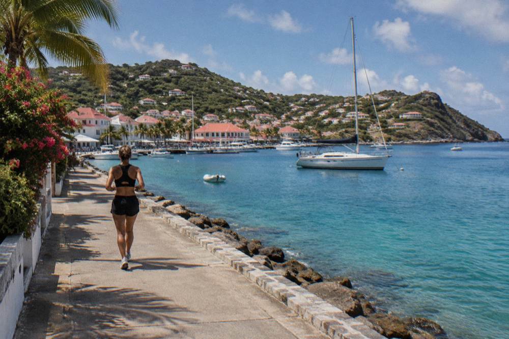
Sea temperature around St Barts runs about 26 C in winter to about 29 C from August to October, so the water is warm enough to snorkel in every month of the year, and the Meteo-France normals for 1991 to 2020 show air highs from 28.5 C in January to 31.7 C in September. What changes through the year is rain: October is the wettest month at 135.6 mm and February has the least at 38.4 mm, out of 891.3 mm across the year.
Those air figures are station normals, measured at the Meteo-France St Barthelemy station above Gustavia, and they describe the long-run average rather than any single week. The sea figures are rounded secondary estimates, which is why they carry "about". The planning consequence is simple: warmth is never the constraint on a St Barts snorkel, and weather is. Rain volume peaks in October, and October also sits inside the peak of the Atlantic hurricane season, mid-August to mid-October, so a swimmer's eye should be on forecasts rather than the calendar.
| Month | Mean daily high (C) | Mean daily low (C) | Rain (mm) |
|---|---|---|---|
| January | 28.5 | 23.5 | 52.6 |
| February | 28.6 | 23.3 | 38.4 |
| March | 29.0 | 23.5 | 41.4 |
| April | 29.8 | 24.2 | 50.9 |
| May | 30.7 | 25.1 | 61.7 |
| June | 31.2 | 25.9 | 56.0 |
| July | 31.2 | 26.0 | 80.4 |
| August | 31.6 | 26.3 | 79.6 |
| September | 31.7 | 26.2 | 96.9 |
| October | 31.4 | 25.8 | 135.6 |
| November | 29.9 | 25.0 | 118.6 |
| December | 28.9 | 24.1 | 79.2 |
The season around the water matters too. Many hotels and restaurants on the island close each autumn and reopen in waves between mid-October and early November, a recurring pattern rather than a fixed announcement, so a shoulder-season snorkelling trip lands on an island that is partly asleep and partly awake. Villas generally stay available year round. And the one per-person group sail listed here lists its 2027 season as 12 May to 31 August, which places the summer months as the window when the simplest boat-and-snorkel product from St Martin is running.
How Does A Boat Day Compare With Snorkelling From Shore In St Barts?
A boat day from St Martin reaches reserve water at Colombier and Ile Fourchue that a shore swimmer cannot get to without the Colombier walk, carries snorkel gear as part of the product, and departs from St Martin or Sint Maarten ports rather than from St Barts, while shore snorkelling costs nothing beyond gear, runs on your own schedule, and stays within swimming distance of sand. The trade is reach against freedom, and both sides of it are real.
The geography explains the trade. Colombier and Ile Fourchue sit at and off the island's northwestern tip, and the boats that visit them cross from St Martin's ports, Simpson Bay, Cole Bay, Anse Marcel and Grand Case, spend the day in reserve water, and return. A shore snorkeller on St Barts swims from public sand and stops where the map's rock and reef run out. Neither is the better experience in the abstract; the group sail below shows what the boat side of the trade looks like in price, rating and hours straight from its live listing. The full index of guides sits on St Barthelemy Travel.
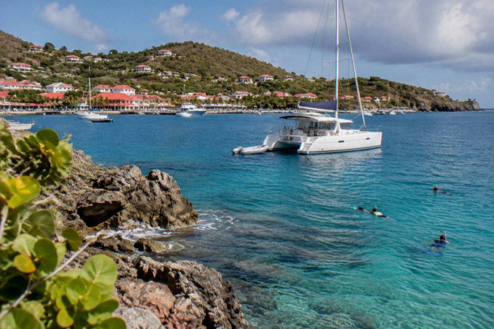
The private alternative suits swimmers travelling as a family or a group who want the reserve water with a route of their own. The full-day private charter below runs per group rather than per person, as five of the six products listed here do, and its figures render from its listing.
A third shape of day exists for swimmers who want to combine a beach club stop with the crossing. The Nikki Beach private charter below ties the boat day to that beach club's stretch of sand, and again the product leaves from Sint Maarten, not from the island.
For planning around the crossing itself, the site's guides to how to get to St Barts and the ferry operators and schedule cover the two operators, Great Bay Express from Philipsburg and Voyager from Marigot, and the small-plane carriers that make the hop from St Martin a short one.
What Should You Bring For A Shore Snorkel In St Barts?
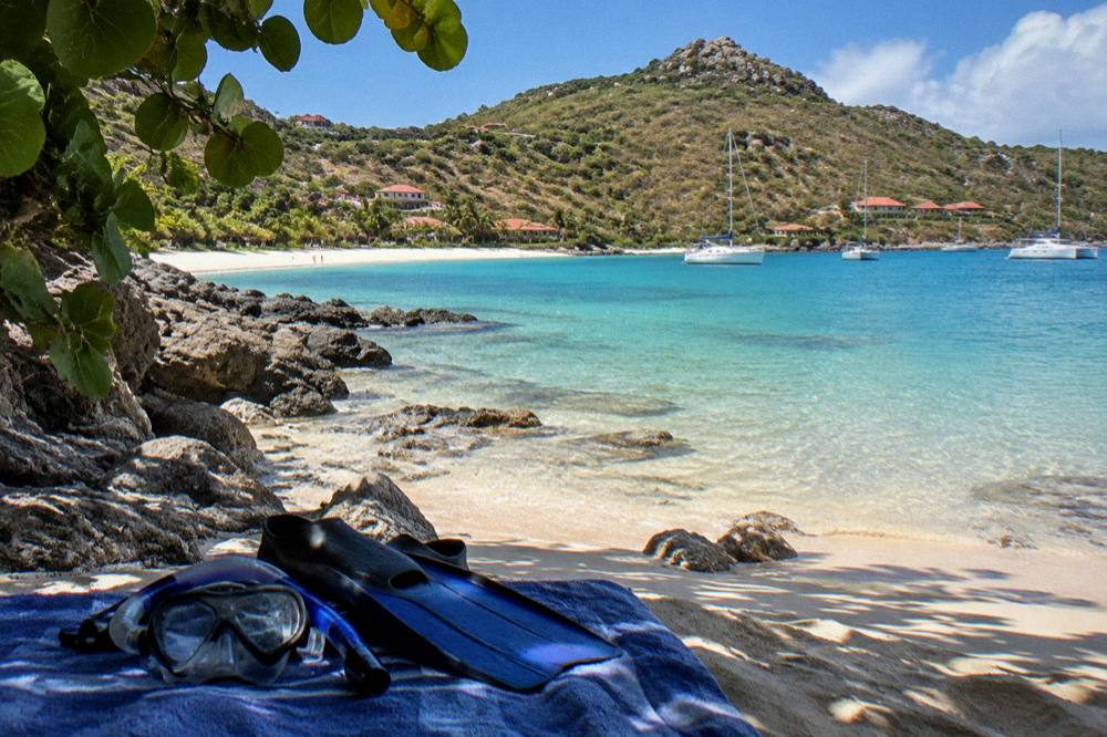
Bring a mask, fins and a rash guard or light wetsuit, reef-safe sunscreen applied before you walk to the water, water shoes for the rock-fringed bays, and nothing you plan to take home from the sea, because the reserve bans collecting coral, shells, sand and rocks and bans gloves in the water. A dry bag and a check of the morning forecast complete the kit.
The kit list follows directly from the rules. Gloves stay home because the agency prohibits them, a rule aimed at collectors, and a mesh bag for shells stays home because collecting is banned outright. Reef-safe sunscreen is standard practice in a marine reserve even where no specific sunscreen rule is printed, and the agency's broader prohibitions on polluting the water point the same way. Water shoes earn their place at Shell Beach, Corossol and Anse des Cayes, where the same rock that holds the reef life meets the sand. The Meteo-France seven-day forecast for the island is the single most useful pre-swim check, and the agency's beach pages carry the turtle and dog rules worth re-reading before a trip with children or pets in the travelling party, since dogs cannot join you on any beach.
| Item | Why it earns its place |
|---|---|
| Mask and fins | The whole point; rock and reef sit within a short swim at the shortlist bays |
| Reef-safe sunscreen | Applied before entering, standard practice in a marine reserve |
| Water shoes | Rock-fringed entries at Shell Beach, Corossol, Anse des Cayes |
| Rash guard or light suit | Sun protection for long floats in warm water |
| Dry bag | Keeps keys and phone above the tide line |
| Forecast check | Meteo-France publishes a seven-day island forecast |
One item deliberately absent from the table is anything that touches the reef: no gloves, no scoops, no collecting bag. The swimmer who arrives with eyes only leaves with the most.
How Do You Get Around To The Snorkel Beaches In St Barts?
Driving is on the right, roads are narrow, winding and steep, the island-wide limit is typically 50 km/h with 30 km/h in Gustavia and Saint-Jean, and rental counters at Gustaf III Airport include Avis, Budget and Hertz alongside local agencies and Mini Moke specialists, so a rental car or Moke is the standard way to reach the shortlist bays, with taxis as the alternative. Fares and rental prices vary.
The shortlist bays ring the island, which is the whole argument for wheels. Grand Cul-de-Sac, Lorient and Anse des Cayes sit on the north and east, Colombier at the far tip, and Shell Beach and Corossol near Gustavia on the west. The island is about 21 square kilometres, so nothing is far, but the hills in between are real, and the site's guides to car rental in St Barts and getting around cover the practical detail. Shell Beach is the one bay on the shortlist reachable on foot from Gustavia's harbour, which is why cruise visitors tendering into town, a subject covered in the guide to the St Barts cruise port, so often swim there.
To explore the bays at your own pace, book a rental car.
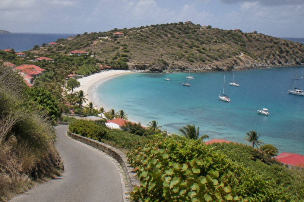
For travellers combining a stay on St Martin with a day on St Barts water, the boat products in the band below cover the group sail, a private sailboat and an overnight catamaran option, all departing from the St Martin side.
The overnight option is the one product listed here that turns the crossing into a stay, and for a snorkeller it means two days of reserve water rather than one. Its figures, like every product figure on this page, render from its live listing rather than from this page's own text.
Can You Snorkel At Colombier Without A Boat In St Barts?
Yes, Colombier can be reached on foot as well as by boat: the bay sits at the island's northwestern tip, the path is the island's best-known walk, and the site's guide to the Colombier hike covers the route without printing a time or length. The water inside the bay falls under the reserve's full rule set, from the 5-knot limit to the species protections.
The hike is the island's signature walk, and the bay it ends at is the one that appears on boat itineraries from St Martin for a reason. A swimmer who walks in gets the same water the group sail and the private charters anchor over, with gear carried on foot rather than supplied on board. The trade is effort and carrying capacity against a deck, a ladder and a crew. The Colombier beach guide and the wider guide to hiking trails in St Barts cover the land side of the trip, and the question of whether the beaches are public answers yes, all of them, Colombier included.
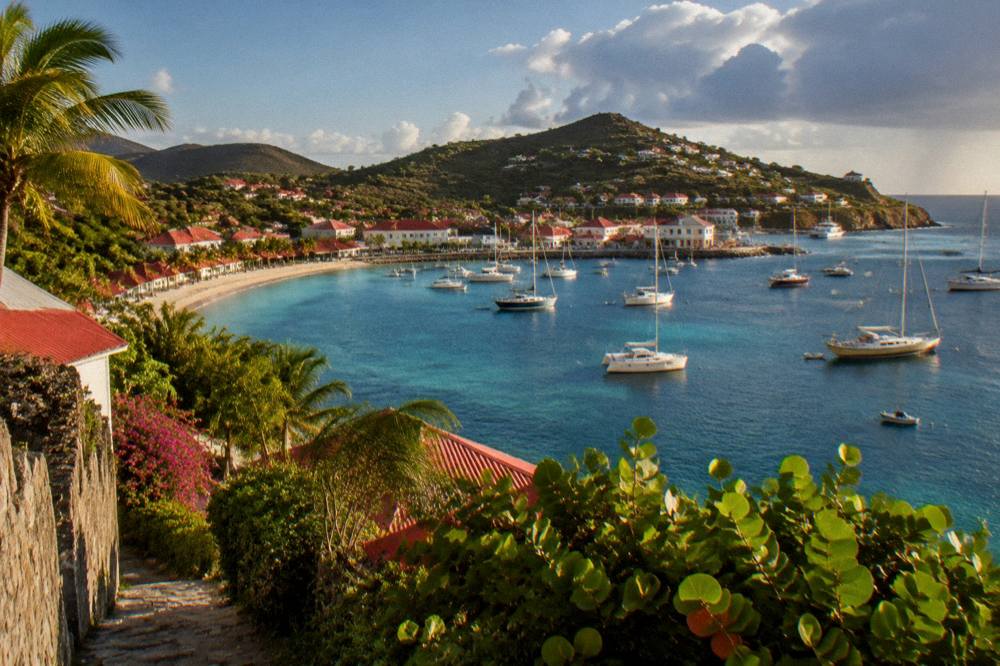
The other bays on the shortlist need no walk and no boat at all, which is the quiet strength of shore snorkelling on this island. Grand Cul-de-Sac's lagoon, Lorient's turtle water, Shell Beach's rocks beside the harbour, Corossol, Anse des Cayes and Petit Cul-de-Sac are all public sand with sea a few strokes away, governed by rules that keep that sea worth swimming in.
Common Questions About Shore Snorkelling In St Barts
Can you snorkel from the beach in St Barts?
Yes. Several named public beaches sit close to rock or reef on the island's map, including Colombier, Shell Beach (Grand Galet), Grand Cul-de-Sac, Lorient, Corossol, Anse des Cayes and Petit Cul-de-Sac, and all beaches on the island are public.
Are all beaches in St Barts public?
Yes, every beach on the island is public, though the marine reserve's rules govern what you may do in the water and on the sand in its zones, and a municipal order bars dogs from every beach.
Where can you see turtles snorkelling in St Barts?
The environment agency's turtle guidance names the Grand Cul-de-Sac lagoon and the water around Colombier as places where green and hawksbill turtles are common, and touching or disturbing them is prohibited.
Can you take shells from St Barts beaches?
No. The marine reserve bans collecting coral, plants, shellfish, crustaceans, sand, rocks and shells in its zones, and gloves are banned in the water to prevent collecting.
Do you need a boat to snorkel Colombier in St Barts?
No. Colombier can be reached on foot as well as by boat. Boat products from St Martin, including the group sail, also visit the bay.
When is the sea warmest in St Barts?
Sea temperature runs about 26 C in winter to about 29 C from August to October, so the water is warm enough to snorkel in every month of the year.