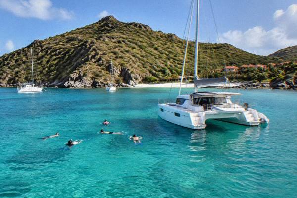
The St Barts Nature Reserve
St Barthelemy's marine nature reserve covers five protected zones, including Colombier Bay, with strict rules on speed, anchoring, wildlife and beach access.
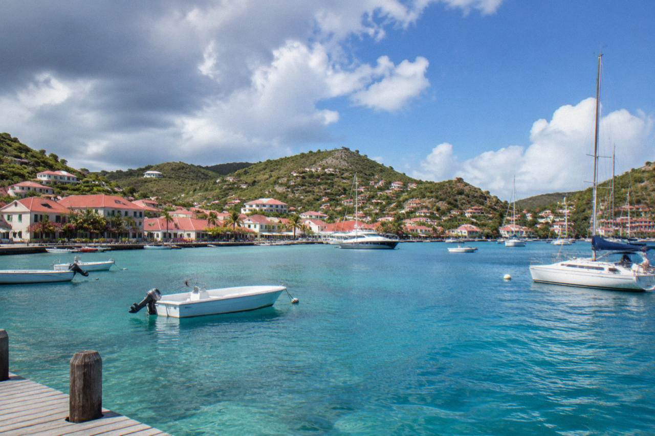
The St Barts nature reserve, managed by the territorial environment agency, sets a 5-knot speed limit in its zones, bans jet skis and other motorized water devices, lists 23 dive sites, bars dogs from beaches and forbids touching turtles or collecting shells, coral and sand.
St Barthelemy, usually written St Barts, is a small French island in the Caribbean whose surrounding waters are protected by the Reserve Naturelle Nationale de Saint-Barthelemy, a marine nature reserve managed by the Agence Territoriale de l'Environnement, the island's territorial environment agency. The reserve covers five zones, including Colombier Bay and the waters around Ile Fourchue, and it is the reason the island's snorkelling and diving sites have stayed as healthy as the environment agency's regulatory-zones page describes them. This guide sets out what the reserve protects, the rules that apply to visitors, and the ways to see its zones by boat, on foot or from a beach. For the wider island picture, start with the site's things to do on the island overview.
What Is The St Barts Nature Reserve?
The St Barts nature reserve is the Reserve Naturelle Nationale de Saint-Barthelemy, a national marine protected area around St Barthelemy managed by the territorial environment agency. Its regulatory-zones page lists five zones with simple and enhanced protection levels, covering bays such as Colombier and the waters around Ile Fourchue. The reserve regulates boat speed, anchoring, fishing, wildlife contact and beach access inside its zones.
The reserve exists to protect the marine life around an island of about 21 square kilometres, from sea turtles and corals to the seabed itself. The environment agency's regulatory-zones page divides the protected waters into simple protection zones, where the core rules apply, and enhanced protection zones, where additional bans on fishing, anchoring and scuba diving apply. The agency's beach page extends its guidance onto land, covering what visitors may and may not do on the shores inside and outside the reserve. Together these pages form the practical rulebook for anyone planning a boat day, a snorkel stop or a walk to a remote beach.
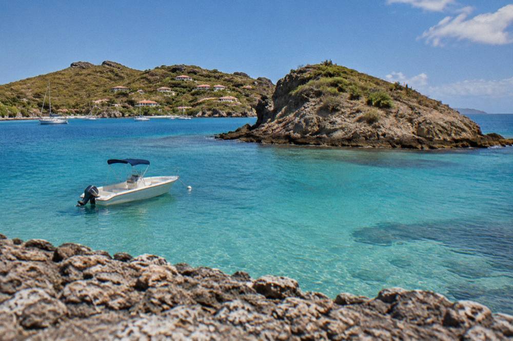
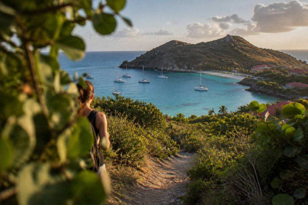
Two of the reserve's zones matter most to visitors. Colombier Bay, on the island's northwestern tip, sits at the end of a coastal trail and is one of the most photographed stretches of water on the island, described on the Colombier Beach page. Ile Fourchue, a small uninhabited islet to the northwest, is a common lunch and snorkel anchorage for boats arriving from St Martin. Both bays carry the reserve's vessel rules, including the ban on vessels over 25 metres and a preference for ecological mooring buoys over anchoring.
What Rules Apply In The St Barts Nature Reserve?
The reserve sets a 5-knot speed limit in its zones, bans jet skis, seabobs, electric surfboards and towed sports, lists 23 dive sites, and forbids touching, chasing or feeding protected species including sea turtles, corals, urchins, starfish, sharks and rays, according to the environment agency's regulatory-zones page. Dogs are not allowed on the beaches and gloves may not be worn in the water.
That is the core of it, and the agency writes the rules in plain terms. The speed limit protects marine life from propeller strike and wake damage. The wildlife rules cover the animals people most want to see: green and hawksbill turtles, which the agency says are common in the Grand Cul-de-Sac lagoon and around Colombier, may not be touched or disturbed in the water or on the beaches. Collecting is banned across the board, whether coral, plants, shellfish, crustaceans, sand, rocks or shells, which is why a beach walk here leaves everything behind. Drones are prohibited in or near the reserve without prior authorization, and underwater lighting and noise pollution are addressed by the same page.
The table below gathers the rules a visitor is most likely to meet.
| Rule | What It Means | Where It Applies |
|---|---|---|
| 5-knot speed limit | Boats travel at walking pace in protected zones | All reserve zones |
| No jet skis or towed sports | Jet skis, seabobs, electric surfboards and similar devices are banned | Reserve waters |
| No touching wildlife | Turtles, corals, urchins, starfish, sharks and rays may not be touched, chased or fed | All reserve zones |
| No collecting | Coral, shells, sand, rocks, plants and crustaceans stay where they are | All reserve zones |
| No dogs on beaches | Dogs are barred from beaches and from the water in reserve areas, and a municipal order bars them from all island beaches | Island-wide |
| No gloves in the water | Gloves are banned to prevent collecting | Reserve waters |
| Vessel size limit | No vessels over 25 metres in Colombier and Fourchue bays | Colombier, Ile Fourchue |
| Drone restrictions | Drones prohibited without authorization in or near the reserve | Reserve zones |
The dog ban deserves a note of its own because it catches many visitors out. The environment agency's beach page cites a municipal order that bars dogs from every beach on the island, on a leash or not, on the grounds of protecting birds, reptiles and nesting turtles and preventing sand pollution. Signs stand at beach entrances. The turtle guidance is equally direct: the agency asks visitors to report nest sightings to its listed emergency number, and to reduce light and noise near nesting areas.
One practical consequence of the reserve's reach is that no on-island motorized water activity exists to book. The bookable boat products that visit St Barts waters all depart from St Martin or Sint Maarten, and the group sail that anchors at Colombier and Ile Fourchue is one of them.
Can You Snorkel In The St Barts Nature Reserve?
Yes, snorkelling is allowed in the reserve, and the environment agency lists 23 dive sites around the island, but the wildlife rules bind every swimmer: no touching turtles, corals or starfish, no gloves, no collecting, and no feeding or chasing anything that lives there. Snorkelling is a stated activity in the same zones that ban motorized devices.
The agency's pages frame snorkelling as welcome when done passively. Floating above a turtle is permitted, reaching out to one is not. The distinction matters because green and hawksbill turtles are the animals snorkellers around Colombier and Grand Cul-de-Sac are most likely to meet, and the agency's beach page names them explicitly among the species that may not be disturbed. Corals and urchins fall under the same no-touch rule, and the no-glove rule exists because gloves invite handling.
Where you snorkel shapes what the rules cover. The land-accessible snorkelling beaches are covered in the site's best snorkelling beaches guide, while boat-based trips reach the reserve's island sites such as Ile Fourchue. The beaches themselves are all public and free, from Grand Cul-de-Sac with its lagoon to Shell Beach a short walk from Gustavia. None of the public beaches charges an entrance fee, and the reserve's marine rules, not entry fees, are what a visitor needs to know before getting in the water.
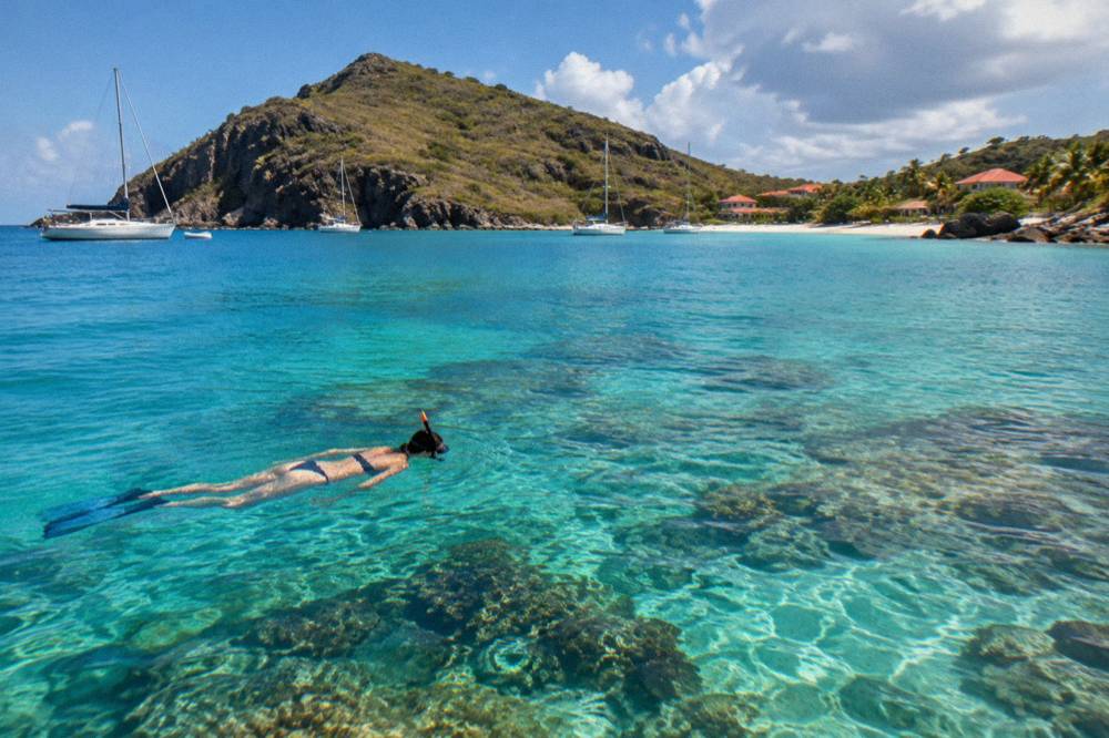
A swim or a snorkel in November sits in water the climate pages describe as warm year-round, about 26 C in winter to about 29 C from August to October from a secondary source. For the full picture of conditions by month, see the site's weather in Saint Barts page.
How Do You Visit Colombier Bay Inside The Reserve?
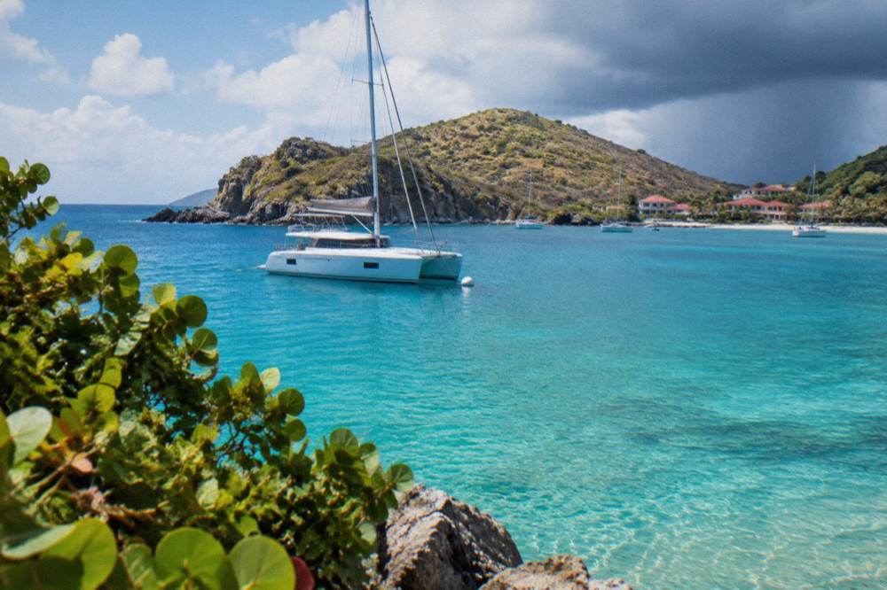
Colombier Bay, on St Barts' northwestern tip, is reached either by boat or on foot along the coastal trail from Flamands, and the bay inside it is one of the reserve's protected zones, where the 5-knot limit, the vessel size cap and the no-anchoring-preference rules all apply. The beach is public, and the trail and bay are described on the site's Colombier pages.
There is no road to Colombier. Visitors arrive by sea, most commonly on boats from St Martin or Sint Maarten that anchor in the bay, or on the walking trail that descends from the Flamands side, a route covered in the site's Colombier hike guide. The site's trail pages print no length, time or difficulty claim because no source for those figures exists, and the environment agency's pages do not describe the trail. The bay itself is a public beach inside a reserve zone, with turtles commonly reported around it by the agency's own wildlife pages, though no sighting is guaranteed on any given day.
Boat visitors meet the reserve's anchoring rules first. In Colombier and Fourchue bays the regulatory-zones page bars vessels over 25 metres, prefers ecological mooring buoys over anchors, and places limits on how long a boat may stay on a buoy, with a maximum of 96 hours in some cases. Day-trip boats from St Martin operate inside these rules as a condition of their itineraries, which is why a group sail's Colombier stop is a mooring or anchored pause rather than a watersports free-for-all: the reserve bans the jet skis and towed toys that define a motorized beach day elsewhere in the Caribbean.
Which Zones Of The St Barts Nature Reserve Can Boats Enter?
Boats can enter the reserve's zones, including Colombier Bay and the waters around Ile Fourchue, subject to the 5-knot limit, the vessel size caps and the mooring and anchoring restrictions on the environment agency's regulatory-zones page. Enhanced protection zones add bans on fishing, anchoring and scuba diving in some areas, and these limits apply to every vessel, private or chartered.
The zone structure is the part of the reserve that visitors never see mapped but always feel. Simple protection zones carry the core rules described above. Enhanced protection zones layer fishing, anchoring and scuba bans on top. The practical effect for a visiting yachtsman or a charter guest is that the skipper, not the passenger, carries the compliance burden: the 5-knot approach, the buoy pickup, the stay limits. Passengers notice the rules mainly as quiet water and undisturbed wildlife.
The bookable ways to be on this water all leave from the other island. The private charter from St Martin and the full-day private charter each run eight hours on the water with a captain, priced per group, and their itineraries include reserve bays. An overnight option exists as well, a two-day, one-night private catamaran crossing from St Martin, which lets a boat moor in a reserve bay through the evening rather than day-trip in and out.
A day on this water with a captain covers the reserve's zones. Book a full day private charter.
Are The Beaches Inside The St Barts Nature Reserve Public?
Every beach on St Barts is public, including those inside the reserve's zones, and all are free to access, but the environment agency's rules follow the visitor onto the sand: no dogs, no collecting shells or sand, no touching or disturbing wildlife, and no drones without authorization in or near the reserve. The public right of access and the protective rules sit side by side.
This is the island's quiet settlement: private hotels may line a shore, but the shore itself belongs to everyone. The tourism committee lists the island's beaches as public, from Gouverneur and Saline on the south coast to Flamands and Saint-Jean in the north, and the environment agency adds the conduct rules. The dog ban, the collecting ban and the turtle protections are island-wide or reserve-wide respectively, so a beach's public status never means an anything-goes one.
The table below pairs the reserve's protected bays with the beaches whose pages cover their land access.
| Reserve Area | Nearest Public Beach | Land Access Notes On This Site |
|---|---|---|
| Colombier Bay zone | Colombier | Reached on foot by trail or by boat, no road |
| Ile Fourchue waters | None (uninhabited islet) | Boat access only |
| Grand Cul-de-Sac lagoon | Grand Cul-de-Sac | Public beach on the sheltered northeast coast |
| Northwestern coastal waters | Flamands, Anse des Cayes | Public beaches linked by road |
| Gustavia-side waters | Shell Beach, Lorient | Public beaches near the harbour town |
The agency's beach page also asks visitors to cut light and noise near nesting areas and to report turtle nests to its listed number, which is the kind of guidance that costs nothing to follow and is printed on the same page as the fines-and-infractions language for the dog ban. Other pages covering the same trip are gathered on St Barthelemy Travel.
When Is The Best Time To Visit The St Barts Nature Reserve?
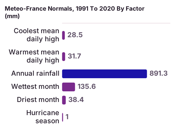
The reserve is open year-round, but the conditions around it follow the island's climate: Meteo-France normals for St Barthelemy, 1991 to 2020, show mean daily highs from 28.5 C in January to 31.7 C in September, 891.3 mm of rain a year and October the wettest month at 135.6 mm, with hurricane season from 1 June to 30 November peaking mid-August to mid-October.
Those are the numbers, and they shape two separate decisions. The first is the crossing. Every boat trip that visits the reserve's waters departs from St Martin or Sint Maarten, and the operators' ferry pages state plainly that sailings are subject to weather: the crossing can be rough, and no operator promises a smooth one. Sea state in the reserve bays matters for the same reason, and the reserve itself can see reduced boat activity in the autumn closure period, when many island hotels and restaurants also close and reopen between mid-October and early November.
The second decision is season on the island. The per-person group sail that visits Colombier and Ile Fourchue runs only from 12 May to 31 August 2027 on its listing, a summer window, while the private charters run year-round subject to weather and the operators' calendars. Winter brings the regatta season instead, with the Bucket Regatta in mid-March filling Gustavia's harbour with superyachts, a spectacle visible from the Gustavia harbour page's viewpoints.
| Factor | Meteo-France Normals, 1991 To 2020 | What It Means For A Reserve Visit |
|---|---|---|
| Coolest mean daily high | 28.5 C in January | Warm by any standard in the deepest winter month |
| Warmest mean daily high | 31.7 C in September | Overlaps the hurricane-season peak |
| Annual rainfall | 891.3 mm | Spread across the year, not one rainy period |
| Wettest month | October at 135.6 mm | Autumn crossings most likely to be affected |
| Driest month | February at 38.4 mm | Sits inside the high-season window |
| Hurricane season | 1 June to 30 November | Peak mid-August to mid-October, climatological peak near 10 September |
A storm, a swell or a calm day cannot be predicted for a chosen date, and the reserve's rules do not change with the season. What changes is the weather window and, with it, the reliability of a boat day.
What Wildlife Does The St Barts Nature Reserve Protect?
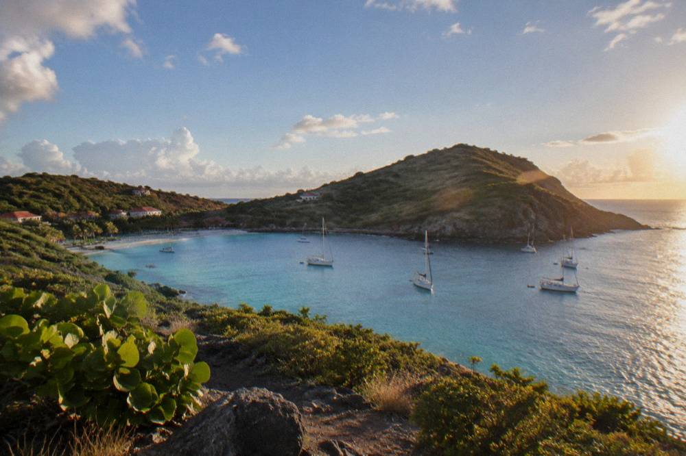
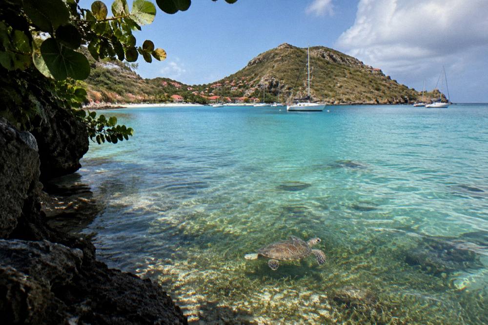
The reserve's rules name green and hawksbill sea turtles, corals, urchins, starfish, sharks and rays as protected species that may not be touched, chased, fed or collected, and the environment agency's beach page identifies the Grand Cul-de-Sac lagoon and the waters around Colombier as places where turtles are common. The reserve's 23 listed dive sites are managed under the same protections.
The turtle pages carry the widest practical weight, because turtles are the wildlife an ordinary visitor encounters. The agency asks that nests and sightings be reported to its listed number, that light and noise be reduced near nesting areas, and it names dogs and waste as threats. The sea turtle guidance connects directly to the dog ban and the rubbish rules: the reserve's beach protections and its marine protections are one system. The site's St Barts sea turtles page expands on this in full.
Beyond turtles, the regulatory-zones page protects the seabed community as a whole. The ban on collecting covers coral and shellfish, the ban on gloves prevents casual handling, and the ban on jet skis, seabobs and electric surfboards removes the noise and disturbance that the agency's page names alongside them. Underwater lighting is addressed too. None of this is ornamental: the enhanced protection zones add fishing and anchoring bans precisely because the agency treats the habitats, not just the animals, as the protected thing.
Can You Hike To Parts Of The St Barts Nature Reserve?
Yes, the coastal trail to Colombier Bay reaches one of the reserve's zones on foot from the Flamands side, and the island's trail network, covered on this site's hiking pages, touches several protected and semi-protected shores. No source prints a trail length, walking time or difficulty grade, so none appears here.
Walking is the free way into the reserve, and free is worth stating plainly: the beaches and open public places cost nothing, and no walking tour product is listed here. The trail pages on this site describe the routes by name only, since no dates, hours or grades are published. What can be said is structural: Colombier's trail descends toward the bay from the Flamands side, the bay is a reserve zone, and the beach at the end is public. The St Barts hiking trails page gathers the island's walks the same way.
Hikers meet the same rules on arrival as boaters. Dogs are barred from the beach at the trail's end, collecting shells or sand is banned inside the reserve, and a drone carried up for a bay panorama is prohibited without authorization. The walk in, in other words, is unregulated; the destination is not.
How Do Boat Tours From St Martin Respect The Reserve Rules?
Every bookable boat tour that visits St Barts waters departs from St Martin or Sint Maarten, from ports such as Simpson Bay, Cole Bay, Anse Marcel and Grand Case, and each operates inside the reserve's rules: 5 knots in the zones, no motorized water toys, mooring or permitted anchoring only, and no wildlife contact, with the itineraries and durations shown on each operator's live listing.
This is the part of the reserve story a visitor buys. The trip list holds six products, of which five are private charters priced per group and one is a per-person group sail with a summer window on its listing. All six leave from the neighbouring island, because the reserve's motorized-activity bans and the island's own small scale mean there is no on-island jet ski, dive-shop or cruise product on this site to sell. The charter itineraries call at Colombier, Ile Fourchue, Gustavia and, for one product, a beach club stop, and the sea time, capacity and price render from each listing.
The second band below carries the three products this site features for reserve waters, and the solo card that follows is the per-person option.
Between them, the full-day private charter runs the same eight-hour shape as the St Martin charter above with its own itinerary, and the overnight catamaran adds a night at anchor. For a shorter outing focused on the island's south-coast beaches rather than the reserve bays, the Nikki Beach charter pairs a crossing with a beach club day.
What Should You Know Before You Go Into The Reserve?
Bring reef-safe expectations rather than gear claims: the guidance to follow is the agency's own, which is no touching, no collecting, no dogs, no drones without authorization, and the 5-knot and anchoring limits if you arrive by boat, with sea conditions and sailing schedules weather-dependent year-round.
Planning around the reserve is mostly planning around water. The crossing from St Martin takes about 45 minutes from Philipsburg on Great Bay Express or about 50 to 60 minutes from Marigot on Voyager, both operators' figures, and both state that sailings are subject to weather. Flights into St Barts land at Gustaf III Airport, a 646-metre runway served only by small turboprops in daylight conditions, with St Barth Commuter flying from SXM, SFG and PTP and Tradewind from SJU and ANU. The site's how to get to St Barts page assembles the full route picture, and the time difference page settles the clocks: the island sits at UTC minus 4 with no daylight saving.
Once on the water, the reserve's rules do the sorting. A day that respects the 5-knot limit, moors where a buoy permits, leaves the shells on the sand and gives a turtle its distance is a day fully inside the law of the reserve and, by the agency's own account, inside the point of it.
Common Questions About The St Barts Nature Reserve
Is snorkelling allowed in the St Barts nature reserve?
Yes. Snorkelling is permitted throughout the reserve, and the environment agency lists 23 dive sites around the island. Swimmers must not touch turtles, corals, urchins or starfish, may not wear gloves, and may not collect anything, and feeding or chasing wildlife is banned.
Can you anchor in Colombier Bay?
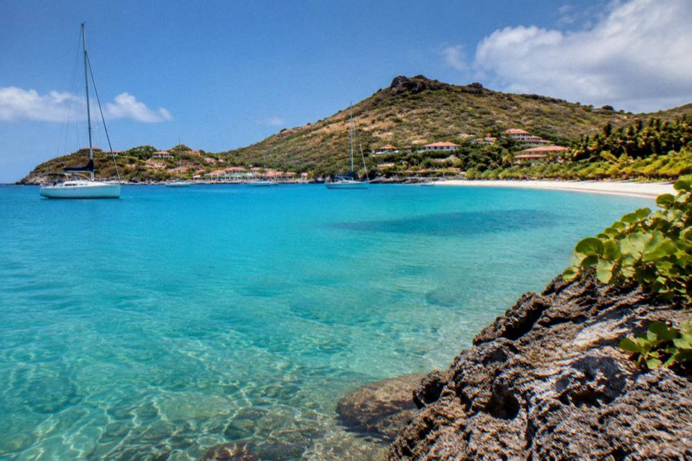
Colombier Bay is a reserve zone where vessels over 25 metres are banned, ecological mooring buoys are preferred over anchoring, and stays on buoys are limited, to a maximum of 96 hours in some cases, per the environment agency's regulatory-zones page.
Are dogs allowed on beaches in the St Barts nature reserve?
No. Dogs are banned from beaches and from the water in reserve areas, and a municipal order bars them from every beach on the island, on or off a leash. Signs stand at beach entrances and violations are subject to fines.
How fast can a boat go inside the St Barts nature reserve?
A maximum of 5 knots applies in the reserve's protected zones, according to the environment agency's regulatory-zones page. The limit protects marine life from strike and wake damage.
Can you fly a drone over the St Barts nature reserve?
Not without authorization. Drones are prohibited in or near the reserve, including Colombier, unless prior authorization has been obtained, under the same zone rules that govern noise and disturbance.
Is there an entrance fee for the St Barts nature reserve?
No fee figure is stated anywhere. The island's beaches are all public and free to access, and the reserve's rules on speed, anchoring, wildlife and dogs apply without any stated charge.