A Day In St Barts From Sunrise To Sunset
St Barthelemy, the small French Caribbean island everyone calls St Barts, packs sunrise hills, public beaches, harbor time and a sailing afternoon into about 21 square kilometres. Here is how one day runs from first light to the last color over Gustavia.
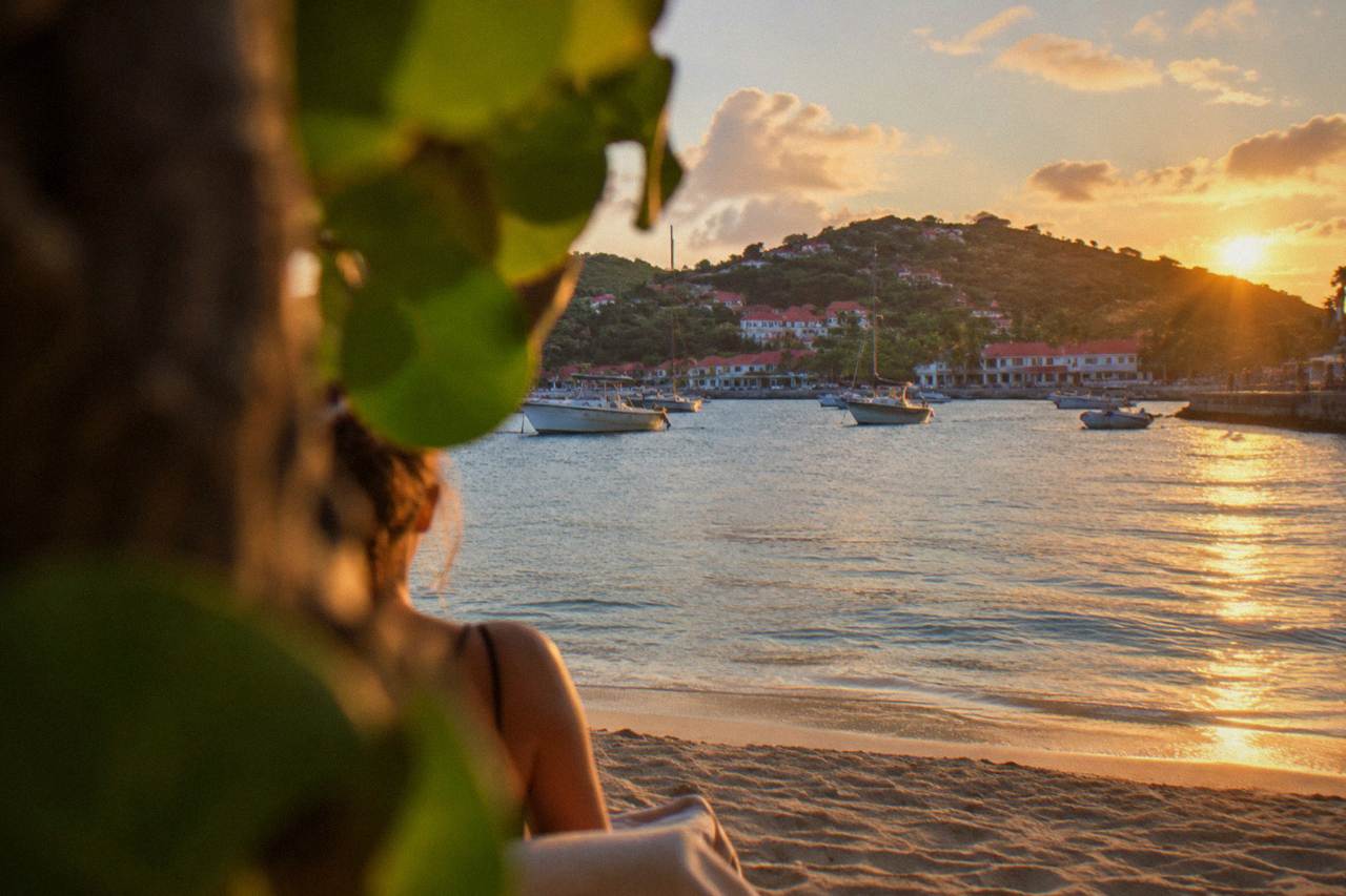
Start the day at a hilltop or east coast beach for sunrise, move to a morning beach such as Grand Cul-de-Sac or Saline, spend late morning in Gustavia, then take a boat or a drive to Colombier for the afternoon and finish with sunset from Shell Beach (Grand Galet) or a Gustavia viewpoint.
St Barthelemy, better known as St Barts, is a French overseas collectivity in the Caribbean of about 21 square kilometres with roughly 10,700 residents, and its small size is the reason a sunrise to sunset day works at all. The island is a ring of hills, public beaches and one harbor capital, Gustavia, so the whole place sits within a short drive of itself. The island's tourism committee describes all of its beaches as public and free to access, which means a one day plan is mostly a question of ordering, not of access. This itinerary sequences the day around light: sunrise in the east, beaches before midday heat, Gustavia over lunch, the water in the afternoon and sunset looking west.
What Does One Day In St Barts Actually Look Like?
A full day in St Barts runs sunrise on the east or south coast, a morning at a public beach such as Grand Cul-de-Sac or Saline, late morning and lunch in Gustavia, an afternoon on the water or at Colombier, and sunset from Shell Beach (Grand Galet) or a west facing viewpoint above the harbor. Every beach named by the tourism committee is public, so the only fixed costs of the day are food, transport and any boat trip you add.
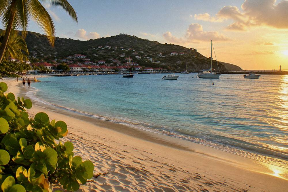
The shape of the island does the planning for you. Gustavia, the capital and harbor town, sits on the west side, which makes it the natural end of the day when the sun drops into the sea behind the anchored boats. The east and south coasts catch the first light, so they belong to the morning. Roads are narrow, winding and steep, driving is on the right, and the speed limit is 50 km/h island-wide with 30 km/h in Gustavia and St Jean, so moving between stops takes patience rather than distance.
Two things bend any plan. First, the marine reserve's rules shape the water part of the day: the environment agency's regulatory-zones page lists a 5-knot speed limit in its zones, a ban on jet skis and on dogs on beaches, and a strict rule against touching turtles. Second, the clock matters for day visitors arriving by ferry from St Martin, since the crossing from Philipsburg with Great Bay Express runs about 45 minutes and the Voyager from Marigot about 50 to 60 minutes, with sailings spread across the day; the day's first and last hours are tied to those departures.
| Time of day | Where | What it gives you | Light |
|---|---|---|---|
| First light to 8 a.m. | East or south coast | Sunrise over water, empty sand | Low and warm from the east |
| 8 to 11:30 a.m. | A morning beach | Swimming and snorkeling before peak sun | Rising |
| 11:30 a.m. to 2:30 p.m. | Gustavia | Lunch, harbor walk, shops | High and hard |
| 2:30 to 5:30 p.m. | Colombier or a boat | Water time in the day's warmest hours | Softening |
| 5:30 p.m. onward | West coast | Sunset over the harbor | Golden and low |
Midday In Gustavia: Time To Give Each Stop
Suggested durations for the harbor walk, museums, viewpoints and lunch
| Harbor quay walk Boats and people watching | 30 to 45 minutes |
|---|---|
| Wall House Museum Island history | About an hour |
| Fort Karl or Fort Gustaf Harbor panorama | 20 to 30 minutes |
| Lunch in town The day's main meal | An hour or more |
| Corossol village and shell museum Quiet west coast side trip | Under an hour |
Durations as listed in the article's midday stop table.
Where Do You Catch Sunrise In St Barts?
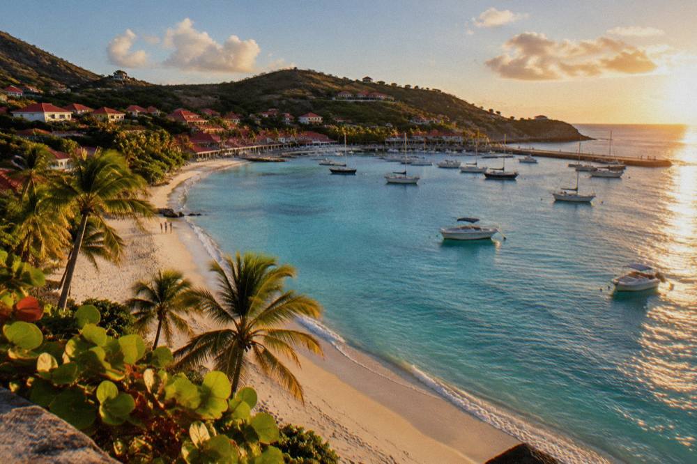
Sunrise in St Barts is best from the east or southeast facing shores, with Grand Cul-de-Sac, Lorient and Toiny on the coast that faces the coming light, and the hilltops above them for a wider view over the Atlantic. All of these beaches are public per the tourism committee's listing, and each is a short drive from Gustavia, so the morning can start in the east and still reach the harbor by late morning.
The logic is geography. The island's populated east coast, from Lorient up through Grand Cul-de-Sac to Toiny, faces the open Atlantic, which is where the sun rises. Grand Cul-de-Sac is a long arc of a bay with a lagoon where the environment agency notes green and hawksbill turtles are common, so an early walk there comes with a real chance of wildlife, always at a distance and never touched or chased. Toiny sits at the island's southeastern corner with open water in front of it. Lorient, mid coast, gives a softer start with a village feel around the beach.
Two practical points from the reserve's rules. Dogs are banned on every beach island-wide, leash included, under a municipal order the environment agency's beach page cites, so sunrise walks are people only. Drones are prohibited in or near the reserve zones without authorization, which covers popular morning spots such as Colombier, so leave the camera airborne at home unless cleared.
| Sunrise spot | Coast | What the light does | Notes |
|---|---|---|---|
| Grand Cul-de-Sac | East | Sun clears the Atlantic over the lagoon | Turtles common here, no touching |
| Lorient | East | Light along a village bay | Public beach |
| Toiny | Southeast | Open water horizon | Public beach, wilder coast |
| Hilltop above Gustavia | West | Sky glow before the sun clears the hills | Best for a harbor overview |
The St Barts one week itinerary spreads these same sunrise spots across mornings if one day leaves you wanting more, and St Barthelemy Travel covers each beach in its own guide.
The three options above all depart from St Martin or Sint Maarten rather than from the island itself, which matters for how a day visitor sequences sunrise: ferry arrivals land mid morning, so the earliest light belongs to people sleeping on St Barts the night before.
Which Beaches Fill The Morning Best In St Barts?
The strongest morning beaches in St Barts are Grand Cul-de-Sac on the east coast and Saline on the south, with Saint-Jean and Flamands as compact alternatives closer to the airport road; all are public, all are free, and the choice comes down to whether the morning wants flat lagoon water at Grand Cul-de-Sac or the wide open bay at Saline, reached on foot from its parking area.
Grand Cul-de-Sac earns its morning slot for two reasons. The lagoon is where the environment agency says turtles are commonly seen, and the bay's shape keeps the water shallow along its arc. Saline is the island's big statement beach, a broad crescent reached by a sandy path from the roadside, with nothing built along it; the tourism committee lists it among the island's public beaches with no facilities attached. Saint-Jean sits right under the flight path of Gustaf III Airport, and the airport spotting adjacent beaches make a morning there a two-for-one if a plane is due.
The airport itself is worth a sentence, because one day visitors often see it. The runway at Gustaf III, also called Remy de Haenen, is 646 m long and served only by small STOL turboprops in daylight and visual conditions; no jets land there, and the approach over the road at St Jean is the island's signature sight. The question is St Barts one of the worst airports to land at has a short answer: it demands specially certified pilots, not luck.
That sail is the one per person product listed here, and its listing runs it only from 12 May to 31 August 2027, so outside that window a private charter is the water alternative for the afternoon.
| Beach | Coast | Morning strength | Access |
|---|---|---|---|
| Grand Cul-de-Sac | East | Lagoon, turtles commonly seen | Roadside parking |
| Saline | South | Broad bay, no development | Sandy path from the road |
| Saint-Jean | West | Airport approach overhead | Direct road access |
| Flamands | Northwest | Long sand, quiet morning | Road down from the ridge |
| Lorient | East | Village bay, early light | At the village |
Keep the reserve's rules in the swim bag: no touching turtles, corals, urchins or starfish, no gloves in the water, and no collecting shells, sand or rocks in the protected zones.
What Should Midday In Gustavia Look Like?
Midday in Gustavia is a harbor walk, lunch in town and a slow loop of the historic sites at its edges, with the Wall House Museum, the shell museum at Corossol nearby and the two fort lookouts, Fort Karl and Fort Gustaf, giving the harbor its best overviews; the town is small, walkable and holds the island's shops, and the food is French-influenced without this page naming venues, since no restaurant's hours or address are published in the island's own listings.
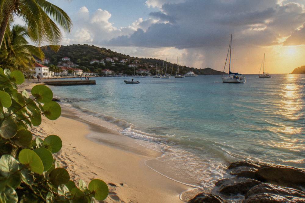
Gustavia is the capital and the harbor, and its geography is the attraction: boats at anchor, red roofs climbing the amphitheater of hills, and the quays where ferries from St Martin arrive. Cruise ships tender passengers in rather than docking, as the port's own commercial pages describe, so the town center breathes between tender arrivals. Lunch is the day's main meal slot; island dining blends French technique with Caribbean produce, and a midday table in Gustavia is the reliable version of that. Rates and menus change by season, and many restaurants close each autumn and reopen between mid-October and early November, a pattern the island's restaurateurs' association documents annually.
The walk can take in the Wall House Museum for the island's Swedish-era story, since St Barts was Swedish for nearly a century before returning to France, or climb to Fort Karl and Fort Gustaf for the harbor panorama. Shopping runs from the quays' boutiques to practical groceries for a beach afternoon; the Gustavia shopping guide covers the detail.
| Midday stop | Type | Time to give it | Best for |
|---|---|---|---|
| Harbor quay walk | Outdoor | 30 to 45 minutes | Boats and people watching |
| Wall House Museum | Museum | About an hour | Island history |
| Fort Karl or Fort Gustaf | Viewpoint | 20 to 30 minutes | Harbor panorama |
| Lunch in town | Food | An hour or more | The day's main meal |
| Corossol village and shell museum | Side trip | Under an hour | Quiet west coast |
One scheduling note: if the day's plan includes an afternoon sail that departs from St Martin, midday in Gustavia is impossible, since every boat product listed here leaves from the other island. A Gustavia midday pairs with an island-based afternoon instead, either a drive to Colombier or a swim at Shell Beach.
How Do You Spend The Afternoon, On The Water Or At Colombier?
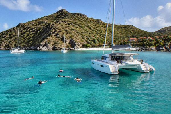
The afternoon in St Barts splits into two strong versions: on the water, sailing to Colombier Bay and Ile Fourchue with a trip that departs from St Martin or Sint Maarten, or on land, driving to the Colombier trailhead and walking the path down to one of the island's most protected beaches; Colombier sits inside the marine reserve, where the 5-knot limit, the mooring rules and the wildlife protections all apply.
For the land version of that afternoon, book a rental car.
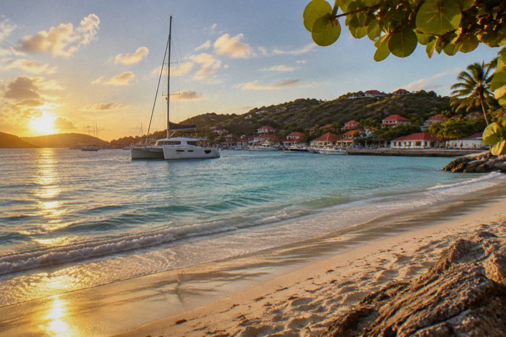
Colombier is the island's signature boat-and-hike destination. The beach has no road, only the coastal trail, and the bay is a reserve zone: the environment agency's regulatory-zones page caps boat speed at 5 knots, prefers ecological mooring buoys over anchoring, bans vessels over 25 m and prohibits touching or feeding turtles, corals and other protected species. That protection is why the bay reads as wild. Ile Fourchue, the small island off the north coast, is part of the same reserve framework and a regular stop on sailing trips from St Martin.
For visitors sleeping on St Barts, the land version is simple: drive to the trailhead above Flamands and walk the path down. For day visitors arriving from St Martin by ferry, the boat version is the whole point, because the sail itself covers Gustavia's harbor, Colombier and Fourchue in one loop. The related trip on this page, the Boomerangs Group Sail and Snorkel, is that loop, and its own page carries the current price, rating and dates, with See the live listing for live dates.
A private charter is the alternative when dates fall outside the group sail's 12 May to 31 August 2027 window, and five of the six products listed here are private charters priced per group.
| Afternoon option | Departs from | Style | Reserve rules that apply |
|---|---|---|---|
| Group sail and snorkel | St Martin or Sint Maarten | Per person day trip | 5-knot zones, no touching wildlife |
| Private day charter | St Martin or Sint Maarten | Per group day trip | Mooring buoys at Colombier |
| Overnight catamaran | St Martin or Sint Maarten | Two days, one night | Same zones, longer window |
| Colombier on foot | St Barts | Walk down from the trailhead | No dogs on beaches |
Sea temperature rounds out the picture: the water is warm all year, about 26 C in winter to about 29 C from August to October, secondary figures, so the afternoon swim needs no wetsuit in any month.
Where Does The Day End At Sunset In St Barts?
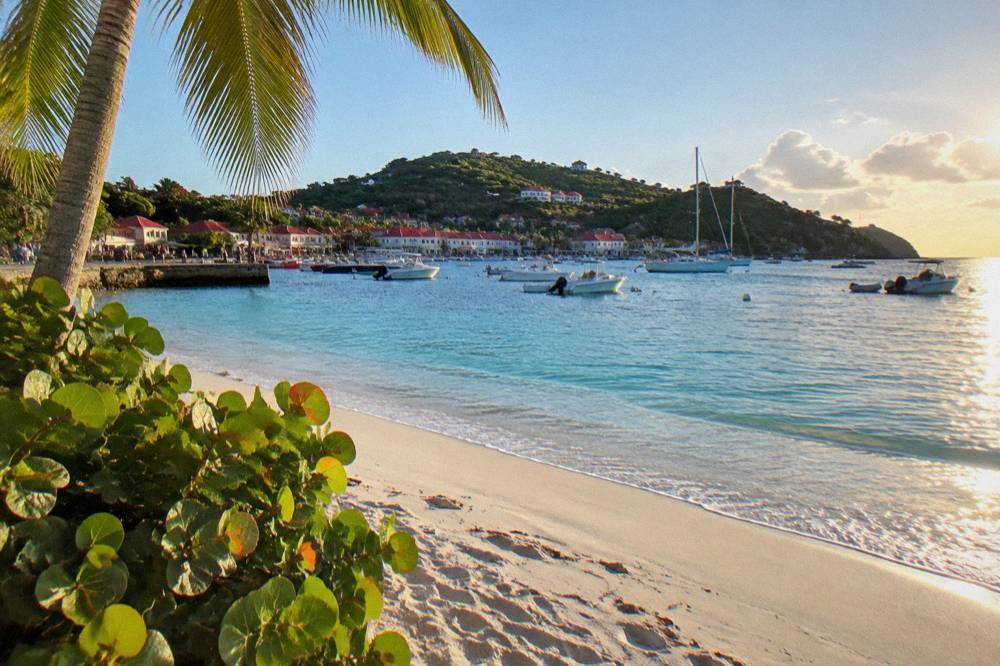
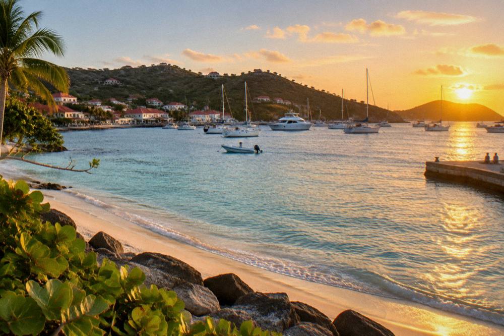
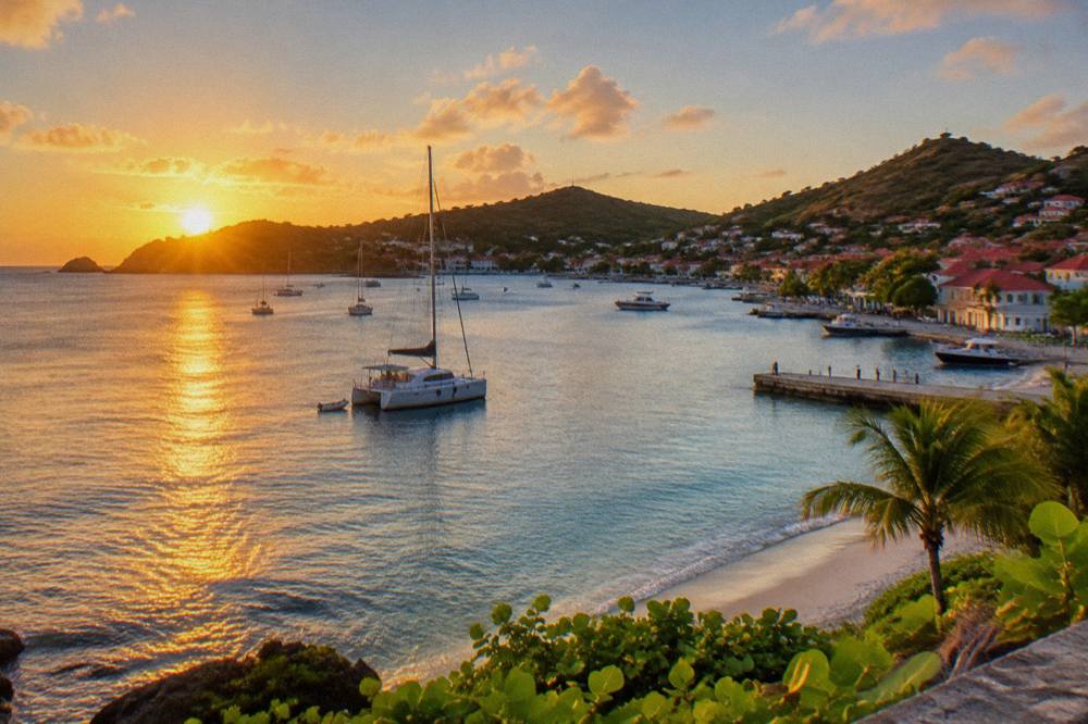
Sunset in St Barts belongs to the west coast, with Shell Beach (Grand Galet) a short walk from Gustavia and the harbor's own quays and hilltop lookouts giving the classic view of the sun dropping behind the anchored boats; Fort Gustaf above town is the highest-profile overview for the final hour of light, and the site's sunset spots guide maps the full set of options.
The physics mirror the morning in reverse. Gustavia opens west, so the harbor fills with low gold light in the last hour, and the boats in the anchorage become silhouettes. Shell Beach (Grand Galet) sits just south of town over the rocks, a public beach on the tourism committee's list and the closest swim-with-a-sunset option to the capital. For elevation, the fort lookouts above Gustavia give the wide frame: harbor, open sea and the hills behind St Jean. The sunset spots guide covers each viewpoint in detail.
End-of-day timing depends on the season only loosely; the island sits near 14 degrees north, so sunset shifts modestly across the year, and the Meteo-France normals, 1991-2020, show October as the wettest month at 135.6 mm and February with the least rain at 38.4 mm, which matters for cloud risk more than for the hour of the sun. Hurricane season runs 1 June to 30 November with its peak mid-August to mid-October, and no source predicts a storm on a date, so the practical move is simply to check the forecast, never to write off the season wholesale.
| Sunset spot | Setting | Character | Distance from Gustavia center |
|---|---|---|---|
| Shell Beach (Grand Galet) | Rocky west coast | Closest swim and sky | Short walk |
| Gustavia quays | Harbor level | Boats and low light | In town |
| Fort Gustaf | Above the harbor | Panoramic overview | Short walk uphill |
| Fort Karl | South of the harbor | Quieter angle | Short walk uphill |
If the day is a New Year's visit, the harbor at dark is also the island's fireworks stage; 2027 details for that night are unconfirmed, so treat it as a tradition rather than a timetable.
What If One Day Is Not Enough In St Barts?
One day in St Barts reliably turns into a second, because the day trip only scratches the surface the ferries serve: staying overnight opens the sunrise half of the day that ferry timetables cut off, the evening after sunset that a same-day return erases, and the slower islands nearby, with Anguilla, Saba and Sint Eustatius each reachable as day trips in their own right and covered in this site's longer itineraries.
The overnight version of the water day is listed here too: a two day, one night private catamaran from St Martin that keeps you on the water through the evening and the following morning, details on its tour page. On land, the site's longer plans, from the three day itinerary and four day itinerary to the five day itinerary, spread the beaches this page compresses into a single morning across proper days at a proper pace.
For weather insurance, the rainy day itinerary reroutes the same island toward museums, shopping and the harbor, and for a fuller first visit the first timer itinerary and the root things to do page hold the complete picture.
| If you have | The move | Pages that cover it |
|---|---|---|
| One day only | Sunrise beach, Gustavia midday, west coast sunset | This page |
| A long weekend | Add the slower beaches and a hike | Long weekend itinerary |
| Three to five days | Beach by beach, one area at a time | Three, four and five day itineraries |
| Two days on the water | Overnight catamaran from St Martin | Tour page above |
| Wet weather | Museums, harbor, shopping | Rainy day itinerary |
Common Questions About A One Day Visit To St Barts
Can you see St Barts in one day?
Yes, in the sense that one day covers a sunrise beach, a morning swim, Gustavia at midday, an afternoon at Colombier or on the water and a west coast sunset, because the island is only about 21 square kilometres. One day does not cover the island slowly, and it cuts off the evening if you return by ferry the same day.
What is the best order for a one day St Barts itinerary?
East or south for sunrise, a beach morning at Grand Cul-de-Sac or Saline, Gustavia for lunch and the harbor, the water or the Colombier trail in the afternoon, and the west coast for sunset. The order follows the sun and the island's geography rather than any schedule.
Do the boat tours to St Barts leave from St Barts?
No. Every bookable boat product listed here departs from St Martin or Sint Maarten and visits St Barts, including the group sail to Gustavia, Colombier and Ile Fourchue. There is no bookable tour listed here that departs from Gustavia.
Are the beaches in St Barts free?
Yes. The island's tourism committee lists its beaches as public and free to access, from Saint-Jean and Saline to Colombier and Shell Beach (Grand Galet). Dogs are banned on all beaches island-wide under a municipal order, even on a leash.
What are the rules at Colombier and the marine reserve?
The environment agency's regulatory-zones page lists a 5-knot speed limit in reserve zones, a preference for ecological mooring buoys, a ban on vessels over 25 m in Colombier and Fourchue bays, no jet skis, no dogs on beaches and no touching or feeding turtles, corals or other protected species.
When is the water warm enough to swim all day?
The sea around St Barts is warm year round, about 26 C in winter and about 29 C from August to October, secondary figures. Meteo-France normals, 1991-2020, show mean daily air highs from 28.5 C in January to 31.7 C in September, so midday heat, not cold water, is the constraint.