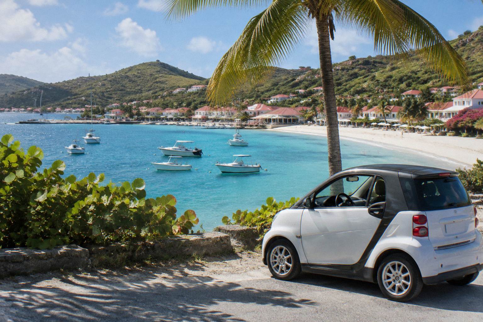
St Barts Itinerary
How to structure days on a small French Caribbean island of hills, public beaches and one harbour town: arrival, beach anchors, driving, seasonality and day-by-day plans for three to seven days.
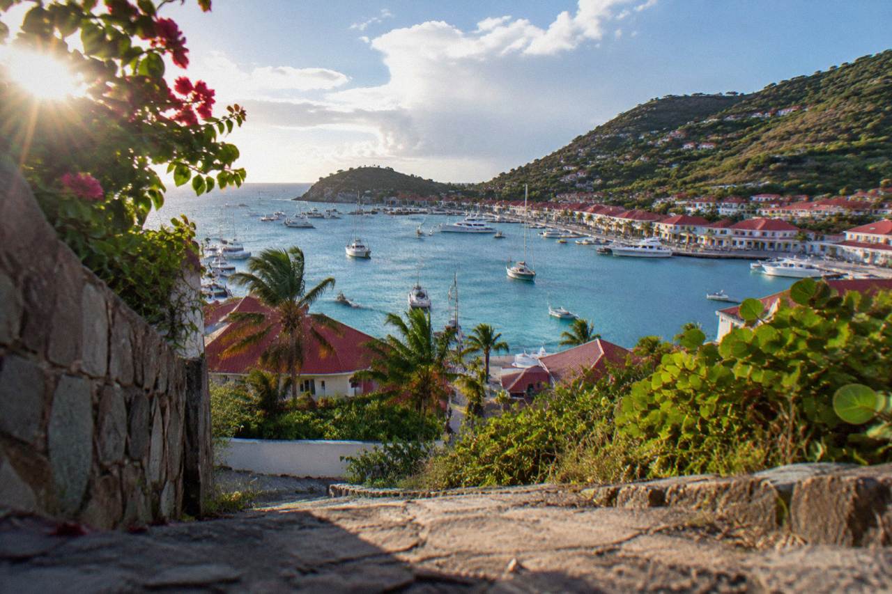
Give St Barts three to five days: arrive through St Martin by small plane or ferry, rent a car, anchor the trip on Gustavia plus beaches on different coasts, and time the visit between December and April if you want the driest weather of the year.
St Barthelemy, written St Barts, is a French overseas collectivity in the Caribbean since 2007, about 21 square kilometres of hills, public beaches and turquoise water around the harbour capital of Gustavia. Planning days on an island this compact is less about distance and more about sequence: which coast to anchor on, when the harbour town is worth the parking effort, and how the ferry or the small plane from St Martin shapes the first and last hours of the trip. This itinerary page from St Barthelemy Travel lays out a structure that works for a long weekend through a full week, using the island's public beaches, its single airport and its short, steep road network as the fixed points.
How Many Days Do You Need For A St Barts Itinerary?
Three days is the practical minimum for a St Barts itinerary and five is the comfortable target, because the island rewards one coast per day rather than a rush across all of them. A three-day plan covers Gustavia, one south-coast beach and one east or north coast beach. Five days adds Colombier, Grand Cul-de-Sac and a slower second pass at Gustavia. The trip's fixed costs, the ferry or flight from St Martin and the rental car, barely change between three and five days.
The arithmetic that drives the answer is geography. St Barts is about 21 square kilometres with roughly 10,700 residents, and its beaches sit on separate coasts joined by narrow, winding roads. A plan that tries to visit Gouverneur, Saline, Colombier and Grand Cul-de-Sac in a single day spends most of the day in the car between short beach stops. One coast per day, with Gustavia slotted into the morning or the late afternoon when the light is on the harbour, is the pattern that holds up.
The length also depends on how you arrive. If the trip is built around a St Barts base with nights on the island, three days works. If the plan is a day trip from St Martin by boat, the island compresses into a single long day and the itinerary becomes a Gustavia-plus-one-beach structure instead.
| Trip length | What it realistically covers | Best suited to |
|---|---|---|
| 2 days | Gustavia, one beach, one drive across the island | Cruise tender day or quick weekend |
| 3 days | Gustavia, a south-coast beach, a north or east coast beach | First visit, long weekend |
| 4 to 5 days | Everything above plus Colombier, Grand Cul-de-Sac, a second Gustavia pass | A first proper trip |
| 7 days | The full list at a slow pace, plus a boat day and down days | Honeymoons, repeat visitors |
For readers already fixed on a specific length, the site carries a three-day St Barts plan, a four-day plan, a five-day plan and a one-week St Barts itinerary with day-by-day detail.
What Should Day One Of A St Barts Itinerary Look Like?
Day one should be an arrival day anchored on Gustavia: check in, walk the harbour, the Shell Beach path and the shopping streets, and save the beaches for day two. Gustavia is the island's capital and the point where ferries and airport transfers converge, so it is the natural first stop. The town is compact, walkable and sits between two low headlands with Fort Karl and Fort Gustaf above it. A late-afternoon pass along the quay as the boats come in ends the day without a single drive.
Arrival itself takes half a day. Ferries from St Martin dock in the centre of Gustavia, and the airport is a short drive over the hill in Saint-Jean, so the first hours are absorbed by check-in, luggage and orientation. Walking Gustavia on day one, rather than driving it, also parks the car problem: parking in the capital is limited, and a day without the car in town is a day without circling for a space.
The town's sights are all close together. The Wall House Museum covers the island's Swedish period, and the Shell Museum in Corossol makes an easy later add-on. Fort Karl and Fort Gustaf sit above the harbour and give the map's best overview of the port and the roadstead. Shell Beach, a public beach a short walk from the harbour, is the natural swimming stop on a day one plan.
Which Beaches Should Anchor A St Barts Itinerary?
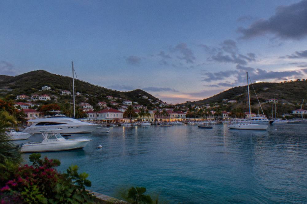
Anchor the itinerary on one beach per coast: Saline or Gouverneur on the south, Flamands or Saint-Jean on the north, and Grand Cul-de-Sac or Lorient on the east. All beaches on St Barts are public and free to access, which the tourism committee states plainly. Colombier, at the island's northwest tip, needs its own half day because it sits at the end of a hiking trail. Rotating coasts spreads the driving and gives each day a different water colour and shoreline.
The beach list is the island's core attraction set, and the rules around it are simple. The environment agency's regulatory-zones page sets a 5-knot speed limit in marine reserve zones, bans jet skis, lists 23 dive sites and asks visitors not to touch turtles; dogs are not allowed on the beaches at all. Beyond the rules, the beaches themselves are undeveloped by design, with little in the way of vendors or structures on many of them.
| Beach | Position on the island | Role in an itinerary |
|---|---|---|
| Saint-Jean | North coast, beside the airport | Closest good beach to Gustavia and Saint-Jean hotels |
| Flamands | Northwest coast | Wide public beach, pairs with a Colombier day |
| Colombier | Northwest tip | Hike-in beach, half day on its own |
| Shell Beach (Grand Galet) | West, walkable from Gustavia | Town swimming stop |
| Gouverneur | South coast | Long stretch, pairs with Saline |
| Saline | South coast, behind a dune walk | The south-coast anchor |
| Grand Cul-de-Sac | East coast | Calm lagoon area, turtle sightings reported by the environment agency |
| Lorient | Northeast coast | Village beach, easy stop |
A full rotation plan is laid out in the site's St Barts beach-hopping itinerary, and single-beach pages such as the Saline beach guide, the Flamands beach guide and the Saint-Jean beach guide cover each one in detail.
How Do You Get Around St Barts On An Itinerary?
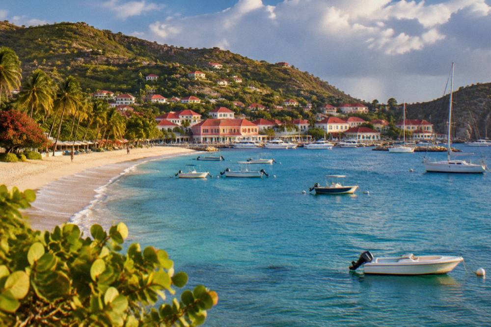
Rent a car for any itinerary longer than a single day, because the island's beaches sit on separate coasts joined by narrow, steep, winding roads and the alternatives do not cover the map. Driving is on the right, speed limits run at 50 km/h island-wide with 30 km/h in Gustavia and Saint-Jean, and the roads demand attention rather than speed. Avis, Budget and Hertz have counters at the airport, and local agencies rent the open Mini Mokes the island is known for.
The car is the itinerary's spine. Taxi service exists but a multi-beach day built on taxis means waiting and calling, and the island's bus coverage is not a plan you can build around. A rental car, picked up at Gustaf III Airport or delivered to a hotel or villa, covers every beach rotation in this guide. The Mini Moke, the open-top small 4x4 associated with the island, trades protection for the feeling of the place; small cars and small SUVs are the practical alternative.
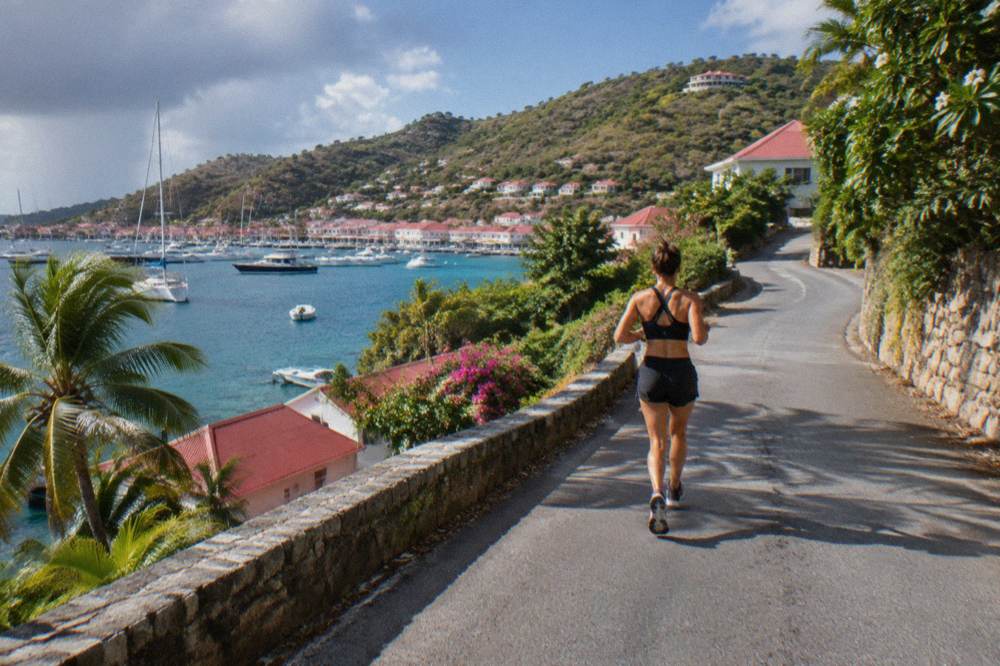
The driving rules follow French practice. The road network is short, hilly and marked with tight passing and steep sections; one roundabout sits near the airport, and French right-of-way rules apply at unsigned intersections. Parking in Gustavia is limited and competitive in high season, which is another reason the day-one plan keeps the car parked and the town on foot.
What Should Days Two And Three Of A St Barts Itinerary Include?
Day two should take the south coast, Gouverneur and Saline, with a Corossol or Lorient stop on the way back, and day three should take the north and east, Flamands, the Colombier hike and Grand Cul-de-Sac. That split covers the island's main public beaches in two drives, each of which starts and ends in Gustavia. Colombier is the one fixed appointment of the pair, because the trail and the swimming there deserve a half day, not a drive-by.
The south-coast day is the simpler one. Gouverneur and Saline sit close together on the island's southern shore, both public, both reached after short walks from parking. Corossol, on the west coast, is a quiet village stop with its own small beach, and it loops the drive back toward the capital. The Corossol beach and village page covers it in full.
The north-and-east day is the fuller one. Flamands sits on the northwest coast, Colombier beyond it at the tip, and the Colombier hike guide describes the trail approach. Grand Cul-de-Sac on the east coast closes the loop; the environment agency notes green and hawksbill turtles in its lagoon, and the no-touching rule applies everywhere. The Colombier beach guide and the Grand Cul-de-Sac beach guide fill in each stop.
| Day | Anchor coast | Stops in order | Notes |
|---|---|---|---|
| Day 2 | South | Gouverneur, Saline, Corossol | Both main beaches are public; Corossol loops the drive west |
| Day 3 | North and east | Flamands, Colombier hike, Grand Cul-de-Sac | Colombier needs the half day; turtles reported at Grand Cul-de-Sac lagoon |
| Day 4 (optional) | Water | Boat day or repeat beach | The tours depart from St Martin, not St Barts |
When Is The Best Time Of Year To Run A St Barts Itinerary?
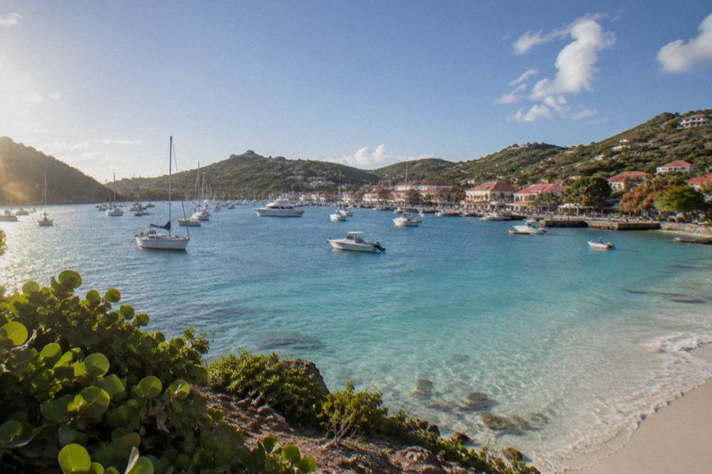
Run the itinerary between December and April, when the Meteo-France normals for St Barts show the driest stretch of the year, February at 38.4 mm of rain against October's 135.6 mm, and comfortable highs around 28.5 to 29.8 C. Hurricane season runs 1 June to 30 November with its peak from mid-August to mid-October, which overlaps the warmest and wettest months. May, June and late November sit between the two patterns as shoulder options.
The full picture comes from the Meteo-France climate normals, 1991-2020, for the St Barthelemy station. The island is warm year-round: mean daily highs run from 28.5 C in January to 31.7 C in September, and annual rainfall totals 891.3 mm, with October the wettest month at 135.6 mm and February the lowest at 38.4 mm. The sea stays warm throughout, about 26 C in winter to about 29 C from August to October.
Two seasonal facts shape an itinerary beyond the weather table. Many hotels and restaurants close each autumn and reopen in waves between mid-October and early November, so a plan in September or early October faces a thinner island. And the one per-person group sail listed here runs only from 12 May to 31 August 2027 on its listing, which matters for anyone pairing a May-to-August itinerary with a boat day.
| Month | Mean daily high (C) | Rain (mm) | Itinerary note |
|---|---|---|---|
| January | 28.5 | 52.6 | High season, Music Festival 8 to 18 January 2027 |
| February | 28.6 | 38.4 | Lowest monthly rainfall in the normals table |
| March | 29.0 | 41.4 | Bucket Regatta, mid-March |
| April | 29.8 | 50.9 | Les Voiles de St Barth, April, dates unconfirmed for 2027 |
| May | 30.7 | 61.7 | Shoulder; group sail season opens 12 May 2027 |
| October | 31.4 | 135.6 | Wettest month; many properties still closed early in the month |
| November | 29.9 | 118.6 | Gourmet Festival 9 to 15 November 2026; reopenings complete |
The site's best time to go season guide and the St Barts hurricane season page expand both halves of this answer.
Can You Build A St Barts Itinerary As A Day Trip From St Martin?
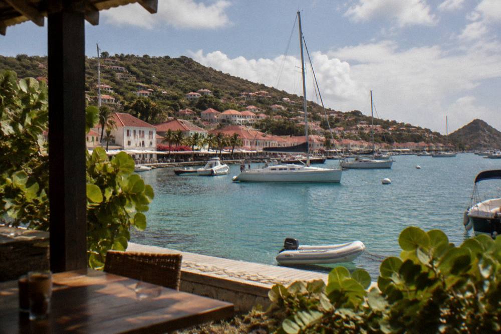
Yes, and it is a common structure: every boat tour listed here departs from St Martin or Sint Maarten and visits St Barts, because no on-island boat activity is bookable through the site. A day trip compresses the itinerary to Gustavia plus one beach or a boat-based loop such as Colombier and Ile Fourchue. Two ferry operators run scheduled crossings, Great Bay Express from Philipsburg and Voyager from Marigot, both weather dependent and never a promise of smooth water.
The day-trip version trades depth for simplicity. A ferry day trip lands in Gustavia around mid-morning and leaves late afternoon, which fits the harbour town, a swim at Shell Beach and one drive out to a south-coast beach. A charter day trip keeps the boat as the base and covers the marine reserve's anchorages instead, with the environment agency's 5-knot zone limit and mooring rules defining how the day moves.
The group option is the per-person sail from St Martin, and it runs on its listing only from 12 May to 31 August 2027.
For a fully private version of the same idea, two more products cover the spectrum: a private sailboat day and a two-day, one-night catamaran that turns the day trip into a short stay.
The comparison between bases is laid out in the site's St Barts versus St Martin guide and the what to do on St Martin before St Barts page. For booking the featured sail directly, See the live listing.
| Approach | Base | What the itinerary becomes | Trade-off |
|---|---|---|---|
| Stay on St Barts | Island hotel or villa | Full 3 to 7 day rotation of coasts | Fixed costs of car plus lodging |
| Ferry day trip | St Martin or Sint Maarten | Gustavia plus one beach | Weather dependent crossing |
| Charter day trip | St Martin or Sint Maarten | Boat loop of Colombier and Ile Fourchue | No inland stops |
| Overnight catamaran | Boat | One night on the water plus a Gustavia visit | Priced per group, up to 4 |
What Does A Complete Five-Day St Barts Itinerary Look Like?
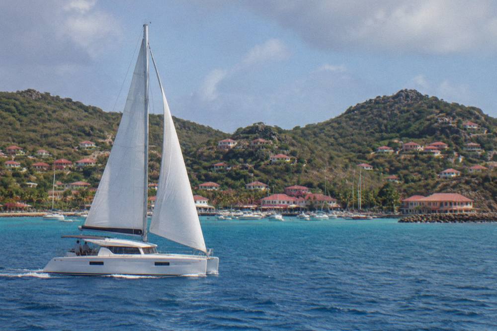
A five-day St Barts itinerary runs day one as arrival and Gustavia, day two on the south coast at Gouverneur and Saline, day three on the north and east at Flamands, Colombier and Grand Cul-de-Sac, day four as a slow water or repeat-beach day, and day five as a morning swim, a last Gustavia pass and the flight or ferry back to St Martin. The structure uses one coast per day and keeps every drive short, which is the only pace the island's roads reward.
The skeleton holds for any length. Cut day four and day five's second half for a three-day trip; stretch the middle with Lorient, Toiny and Pointe Milou for a week. The long-weekend plan and the sunrise-to-sunset day plan show the compressed versions, while the first-timer itinerary adds the orientation stops. Special-interest variants exist for a honeymoon itinerary, a family itinerary, a budget itinerary, a foodie itinerary and a New Year itinerary.
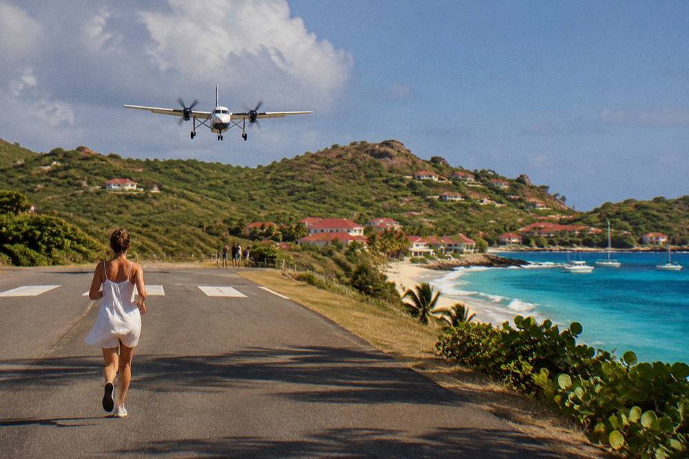
Day five deserves a note on departure logistics. Gustaf III Airport handles only small STOL turboprops on its 646 m runway, in daylight and visual conditions only, and the last ferries of the afternoon set the clock for sea departures. Building the final day around a morning swim and an early-afternoon departure, rather than a last-minute dash, is the pattern the schedule itself imposes.
What Should You Know Before Following A St Barts Itinerary?
Know four things in advance: entry runs outside Schengen under French overseas rules, so check your own government's travel advice rather than assuming a Schengen visa or a European system covers you; the currency is the euro with French as the official language and English widely spoken; all beaches are public with dogs banned island-wide; and the marine reserve's rules, from the 5-knot limit to the ban on touching turtles, apply to any boat day on the plan.
The entry point matters most for itinerary timing. St Barts is outside the Schengen area, and ETIAS does not govern entry because it is not live; passport requirements differ by nationality and are best confirmed against your own government's advice before booking. An onward or return ticket is part of the standard requirements.
The practical details are stable. The island runs on Atlantic Time, UTC minus 4, with no daylight saving. A tourist tax, the taxe de séjour, is collected by accommodations rather than at the border. Emergency numbers follow the French system: 15 for medical, 17 for police, 18 for fire and 112 as the general European number.
Common Questions About St Barts Itineraries
How many days are enough in St Barts?
Three days covers Gustavia and one beach per coast; five days is the comfortable target that adds Colombier, Grand Cul-de-Sac and a slow water day. A week suits honeymoons and repeat visits.
Do you need a car for a St Barts itinerary?
Yes, for any stay longer than a single day. The beaches sit on separate coasts joined by narrow, steep roads, and Avis, Budget and Hertz all have counters at the airport alongside local agencies renting Mini Mokes.
Can you do St Barts as a day trip from St Martin?
Yes. Two ferries run scheduled crossings, Great Bay Express from Philipsburg and Voyager from Marigot, and every boat tour listed here departs from St Martin or Sint Maarten and visits St Barts.
What is the best month for a St Barts itinerary?
Between December and April, when the Meteo-France normals show the driest months, February at 38.4 mm, and mean daily highs from 28.5 to 29.8 C. Hurricane season runs 1 June to 30 November.
Are the beaches in St Barts free to visit?
Yes. The tourism committee states that all the island's beaches are public and free to access, though dogs are banned on all beaches by a municipal order, and the marine reserve zones carry their own rules.
Is one day in Gustavia enough?
Yes. Gustavia is compact and walkable, with the harbour, the Wall House Museum, Fort Karl and Fort Gustaf and the Shell Beach path all reachable on foot, which is why this itinerary parks the car on day one.
The structure above is the template: one coast per day, Gustavia at the start, the ferry or the small plane as the bookends, and a season chosen from the normals table rather than the brochure. Adjust the length, keep the sequence, and the island's small scale does the rest.