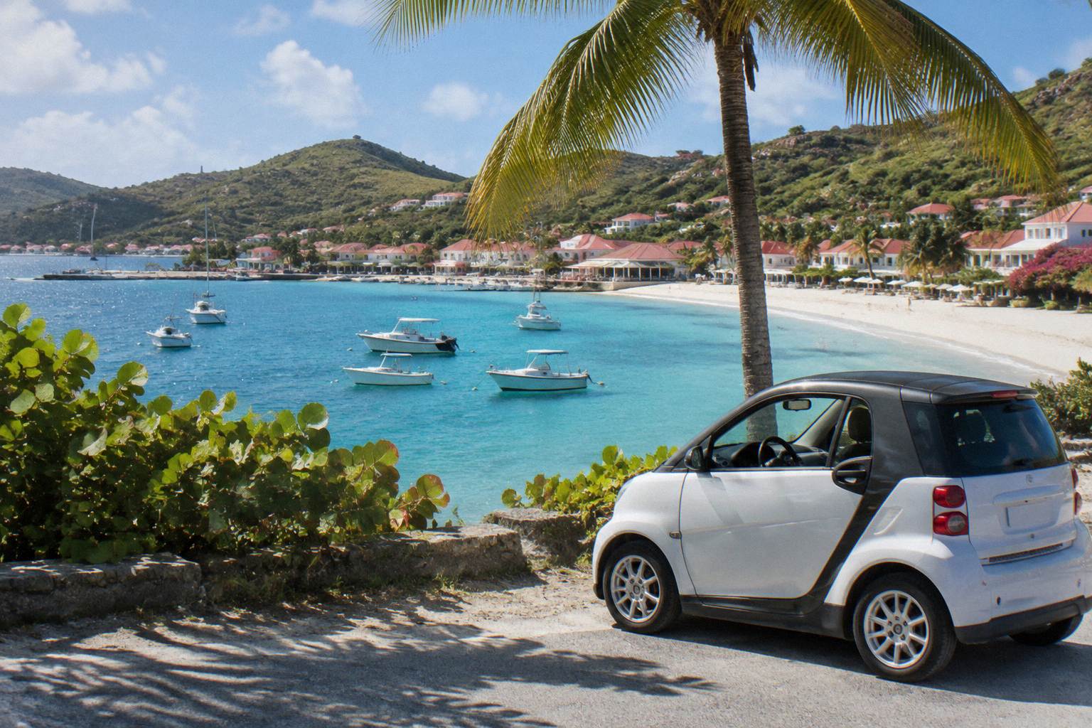
Gustavia Cruise Port Guide
St Barthelemy has no cruise pier: ships anchor off Gustavia and passengers come ashore by tender boat. This guide covers how the port works, what sits within walking distance, and how to plan a day around it.
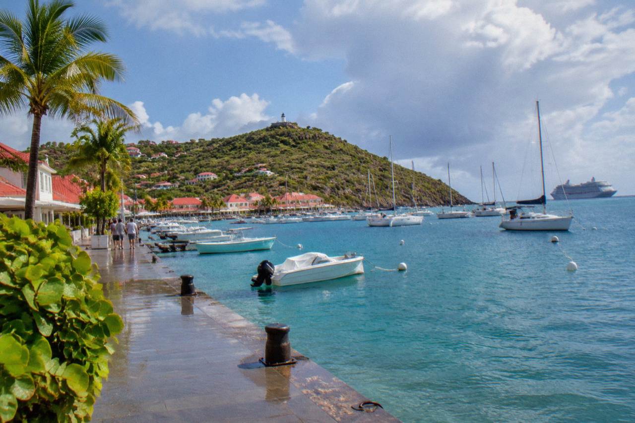
Cruise ships anchor in Gustavia harbor and tender passengers ashore near the town center. There is no pier, no public call schedule, and ships calling at St Barts are limited by the port authority. Gustavia itself, its harbor front, forts and shops are all walkable from the tender point.
St Barthelemy, usually written St Barts, is a small French island in the Caribbean about 21 square kilometres in size, and its harbour capital Gustavia is where cruise passengers arrive. There is no cruise pier anywhere on the island. Ships anchor in the bay outside the harbor and passengers come ashore by tender boat, landing within a short walk of the town center. That single fact shapes everything about a port day here: the town is the destination, the beaches are a taxi or a hike away, and the number of ships is deliberately kept small. This guide from the St Barthelemy Travel editorial desk covers how the port works, what to do on foot, and how to plan around the island's rules.
Where Is The St Barts Cruise Port?
The St Barts cruise port is not a dock at all: ships anchor in the roadstead off Gustavia, the island's capital and harbor town, and passengers are carried ashore by tender boat to the waterfront near Quai du General de Gaulle. Gustavia sits on the island's leeward coast, and everything in town, the shops, the harbor front, the forts and the beaches closest to the port, lies within a compact area that can be covered on foot or by a short taxi ride.
The harbor is the working heart of the island. On any given day it holds a mix of fishing boats, sailing yachts and, in season, superyachts, with the town's red roofs climbing the hillside above the quays. The port authority that manages Gustavia's commercial and yachting operations publishes its rules and contact details online, but it publishes no public cruise call schedule.
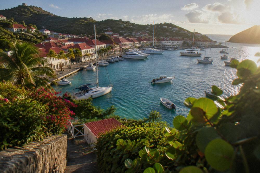
Because the anchorage is open to swell, tender operations can be affected by sea conditions. A related consideration for anyone arriving by sea is covered in the Gustavia harbor guide, which describes the waterfront, the quays and how the town is laid out around them.
The town itself rewards slow wandering. The Gustavia shopping guide covers the boutiques that line the streets near the quay, many of them French and luxury brands, and the Gustavia restaurants overview describes the dining scene in general terms. Neither requires transport: everything sits within a few blocks of where the tenders land.
How Does Tendering At Gustavia Work?
Cruise ships calling at St Barts anchor offshore and run their own tender boats to shore, since the island has no pier capable of docking a cruise vessel. The port authority regulates which ships may call, and the system is deliberately set up to keep the ships small and the numbers limited, which is why the vessels calling here are typically smaller luxury ships rather than mass-market liners carrying thousands of passengers.
Tendering means the ship's own boats, or local boats under contract, shuttle passengers between the anchorage and a landing point on the Gustavia waterfront. The crossing is short, but it depends entirely on sea state. When swell runs into the anchorage, tender runs can slow or, in the worst case, a call can be cut short. Conditions at a tender port can change without warning, which is why seasoned cruise passengers treat a St Barts call as a bonus rather than a certainty.
A practical consequence follows: plan the day so it survives a late start. Anything that needs a fixed booking far from town is fragile if the tenders run late; a morning in Gustavia followed by a beach or a boat trip in the afternoon is the more resilient shape. The table below summarizes what the port does and does not offer.
| Feature | St Barts (Gustavia) |
|---|---|
| Berthing | Anchorage only, no cruise pier |
| Transfer to shore | Ship's tender boats |
| Landing point | Gustavia waterfront, near the town center |
| Public call schedule | Not published by the port authority |
| Typical calling ships | Smaller luxury vessels |
| Weather sensitivity | Swell can affect tender operations |
For passengers who want more of the island than the town, the decision is how far to stray. The best area to stay guide and the Gustavia where-to-stay page give a sense of how the island's neighbourhoods relate to the harbor, useful for judging distances on a port day.
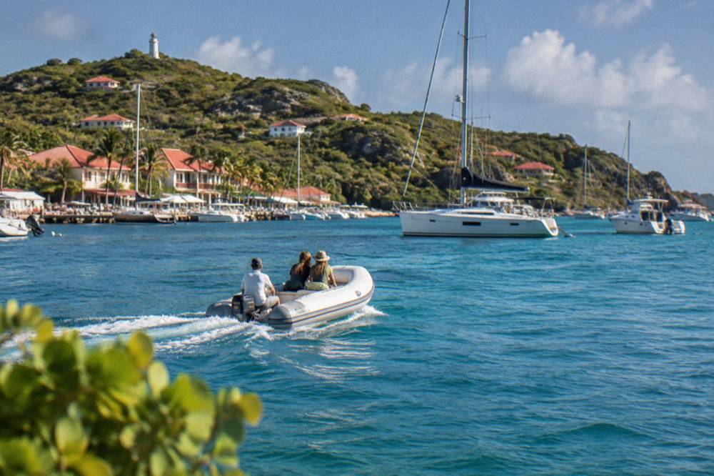
Can You Walk Everywhere From The St Barts Cruise Port?
Yes for the town itself: Gustavia is compact and every shop, restaurant, fort ruin and museum in the capital is reachable on foot from the tender landing. No for the beaches beyond Shell Beach, which sits at the edge of town: the island's famous strands such as Saint-Jean, Saline and Gouverneur lie over steep hills on the other side of the island and need a taxi, a rental car or a serious hike to reach from the port.
The distinction matters because a port day is short. Time spent in Gustavia is time spent exploring; time spent crossing the island is time spent in a vehicle on narrow, winding roads. The island's roads are steep and its speed limits are low, so distances that look tiny on a map take longer than the line suggests. Walking times and drive times vary from route to route.
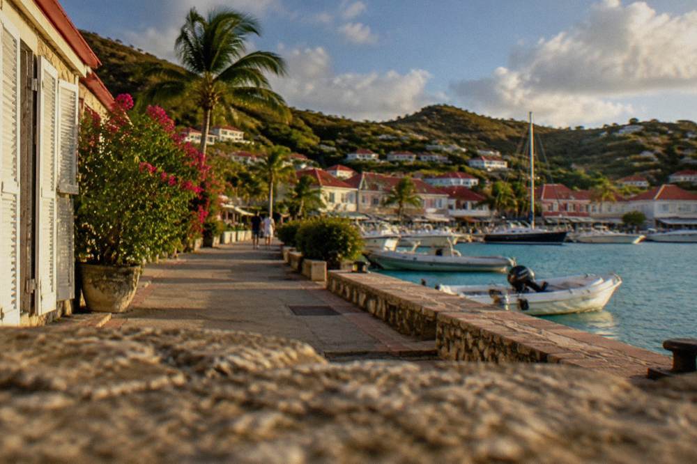
The walkable core of the town holds several genuine sights. The forts of Karl and Gustaf sit on the headlands above the harbor, both reachable by paths from town, and both described in dedicated pages: Fort Karl and the harbor viewpoints above the quay. The Wall House Museum covers the island's Swedish period and general history, and the Corossol shell museum sits further out in the traditional village of Corossol.
| Sight | Location | Reachable On Foot From The Tender Landing? |
|---|---|---|
| Harbor front and quays | Gustavia center | Yes |
| Shell Beach (Grand Galet) | Western edge of Gustavia | Yes, uphill path |
| Fort Karl | Headland east of the harbor | Yes, path from town |
| Fort Gustaf | Headland above the harbor | Yes, path from town |
| Wall House Museum | Gustavia center | Yes |
| Saint-Jean Beach | Across the island near the airport | No, taxi or car |
| Saline Beach | South coast | No, taxi or car |
| Gouverneur Beach | South coast | No, taxi or car |
Shell Beach deserves its mention because it is the one beach genuinely attached to the town. The Shell Beach guide describes it; the short version is that it is a small public cove at the end of Gustavia, and its name comes from the shells that litter its sand. For lunch between walks, the Le Select page covers the town's long-standing casual spot near the harbor.
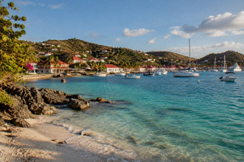
What Are The Best Ways To Spend A Port Day In St Barts?
The three reliable shapes for a St Barts port day are a town day in Gustavia with Shell Beach, a beach day by taxi to Saint-Jean, Flamands or Grand Cul-de-Sac, and a boat day on the water, since the island's marine reserve, its coves and its turtles are best reached from the sea. All beaches on St Barts are public and free to access, which keeps a port day flexible: no booking is needed for a beach, only transport to reach it.
The town day needs no planning beyond comfortable shoes. Gustavia's shops, its two fort headlands, its museums and Shell Beach fill a morning and an afternoon without a vehicle. The Gustavia shopping page lists what the boutiques offer, and the town's French character shows in the bread, the cheese and the wine on the shelves, a reminder that this is a French overseas collectivity where the euro is the currency and French the official language, with English widely spoken.
The beach day needs a taxi or a rental car. Taxis in Gustavia operate on fixed route tariffs agreed with the driver rather than meters; agree the price before setting off, and remember that the return leg from a beach needs a phone call or a walk to a stand. Car rental counters at the airport include Avis, Budget and Hertz alongside local agencies, and the open-air Mini Moke is the island's signature rental, but for a single port day a taxi is usually the simpler choice. The getting around guide covers the options in full.
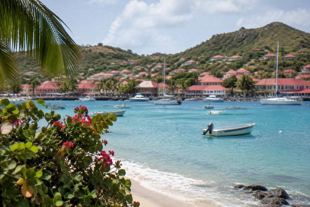
The boat day is the one that shows the island differently. The marine reserve around St Barts covers the water off much of the coast, and its anchorages, including Colombier Bay and Ile Fourchue, are the classic day-sail destinations. One caveat for cruise passengers: every boat trip listed here departs from St Martin or Sint Maarten, not from St Barts, so these are options for passengers arriving via St Martin or for travelers building their own trip, not something booked from the tender dock. The group sail that visits Gustavia, Colombier Beach and Ile Fourchue is described on the Gustavia, Colombier and Ile Fourchue tour page, and its live listing carries the current price, rating and dates.
Do Cruise Passengers Need A Passport For St Barts?
St Barts is a French overseas collectivity outside the Schengen area, and entry rules are set by French authorities: US, UK, Canadian and EU citizens are generally visa-exempt for short tourist stays of up to 90 days, arriving with a valid passport, and EU citizens may use a national ID card. Cruise passengers arriving by tender follow the ship's arrangements, but anyone travelling independently, by ferry or by small plane, should carry a passport and check their own government's travel advice for the current validity requirement.
The island's entry rules are described in detail on the customs and entry page and the St Barts passport guide. The practical point for a cruise passenger is simpler: if your ship's itinerary includes St Barts, the line handles documentation, but you will still need your passport with you to go ashore, and the same document covers any side trip to neighbouring St Martin, which is divided into a French side and a Dutch side with their own formalities.
What Rules Apply On The Water Around St Barts?
The St Barts marine reserve imposes a 5-knot speed limit inside its zones, bans jet skis and other motorized water devices, lists 23 dive sites, prohibits dogs on beaches and forbids touching or disturbing sea turtles, according to the national environment agency's regulatory-zones page. Anchoring is restricted in protected bays such as Colombier and Ile Fourchue, where mooring buoys are preferred, and collecting coral, shells or sand is banned throughout the reserve.
These rules matter to anyone planning water time. Snorkelers and swimmers should keep hands off turtles, corals and starfish; the agency explicitly bans touching, chasing or feeding protected species, and gloves are not permitted in the water because they enable collecting. The reserve's zones cover the bays most visited by boats, so a day on the water around St Barts is a day inside a regulated protected area.
| Rule | Applies Where |
|---|---|
| 5-knot speed limit | All reserve zones on the water |
| No jet skis or motorized water devices | Reserve zones |
| No touching turtles, corals or protected species | All reserve waters |
| No dogs on beaches | Reserve areas, and island-wide beach ban |
| No collecting coral, shells or sand | Throughout the reserve |
| Ecological mooring buoys, anchoring restricted | Colombier and Ile Fourchue bays |
The sea itself is warm year-round, about 26 C in winter rising to about 29 C from August to October. Turtle sightings are common in the lagoon at Grand Cul-de-Sac and around Colombier, and the environment agency asks that nests or sightings be reported to it rather than approached. The St Barts sea turtles guide and the nature reserve page cover the biology and the rules in more depth.
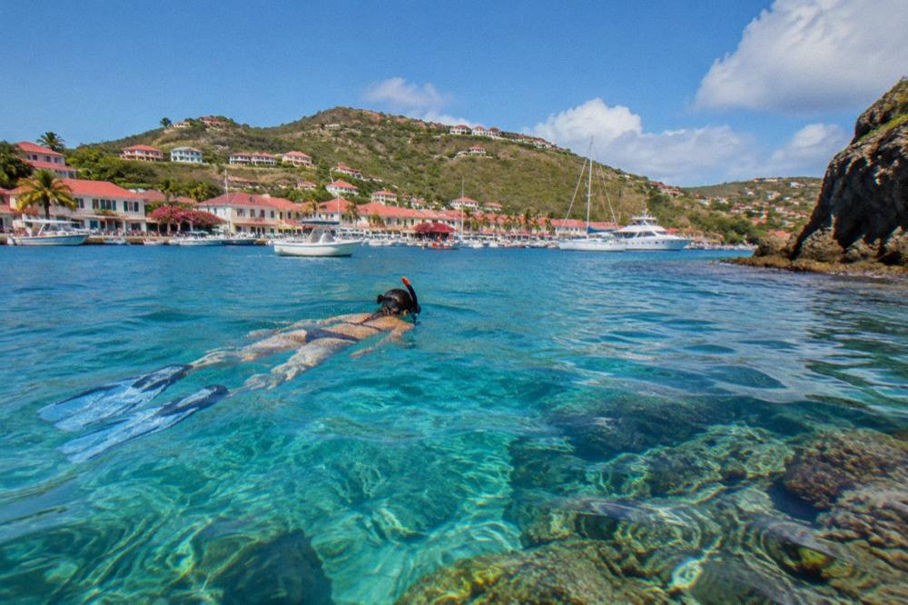
What Is The Weather Like When Cruise Ships Call?
The Meteo-France normals for St Barthelemy, 1991 to 2020, show a mean daily high of 28.5 C in January rising to 31.7 C in September, with 891.3 mm of rain across the year and October the wettest month at 135.6 mm. The island is warm in every month, and cruise calls concentrate in the cooler and drier part of the year, roughly October through April, which sits outside the peak of the Atlantic hurricane season.
The hurricane season runs from 1 June to 30 November, with the peak of activity from mid-August to mid-October, and the island was struck by Hurricane Irma in September 2017. No one can predict a storm for a date, but the seasonal pattern explains both when ships call and why many hotels and restaurants close each autumn, reopening in waves between mid-October and early November. A cruise call in November arrives as the island reopens; a call in February or March arrives at the peak of the season, when events fill the harbor.
| Month | Mean Daily High | Rainfall |
|---|---|---|
| January | 28.5 C | 52.6 mm |
| February | 28.6 C | 38.4 mm |
| March | 29.0 C | 41.4 mm |
| April | 29.8 C | 50.9 mm |
| September | 31.7 C | 96.9 mm |
| October | 31.4 C | 135.6 mm |
| November | 29.9 C | 118.6 mm |
| December | 28.9 C | 79.2 mm |
Figures are Meteo-France climate normals, 1991-2020, for the St Barthelemy station. The event calendar adds colour: the St Barths Bucket Regatta brings superyacht racing in mid-March, the Music Festival runs 8 to 18 January 2027, and the Gourmet Festival runs 9 to 15 November 2026. The St Barts Bucket Regatta guide and the New Year's Eve page cover the harbor's biggest moments.
How Does The Cruise Port Compare With Arriving By Ferry Or Plane?
Cruise passengers share Gustavia harbor with two ferry services and the small planes of Gustaf III Airport: Great Bay Express runs from Philipsburg on the Dutch side of St Martin and Voyager runs from Marigot on the French side, both landing passengers at the same waterfront, while the airport's 646-metre runway accepts only small STOL turboprops in daylight conditions. Every route funnels into the same compact town, so the port experience is similar whichever way you arrive.
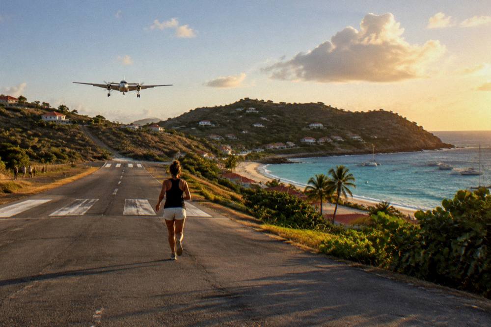
The airport is famous in its own right. Its runway is 646 metres, jets cannot land there, operations are daylight and visual-only, and pilots need special certification for the approach. The St Barts airport guide and the landing at St Barts airport page describe the arrival, which is one of the most photographed approaches in aviation. Passengers flying in connect through St Martin, San Juan, Guadeloupe or Antigua, as the how to get to St Barts guide explains.
The ferry crossing can be rough, and the operators say about 45 minutes from Philipsburg and about 50 to 60 minutes from Marigot. The ferry operators and schedule guide and the SXM airport to ferry page cover the sea route for travelers building a trip around a St Martin stay, and the St Maarten before or after St Barts question is answered on its own page.
Should You See St Barts From The Water?
A day on the water is the fullest way to see St Barts from a cruise itinerary's perspective, because the marine reserve's coves, Colombier Beach and Ile Fourchue are anchorages reached by boat, and the island's coastline of hills and headlands reads best from the sea. The boat trips all depart from St Martin or Sint Maarten and visit St Barts, so they suit travelers based across the channel or an itinerary that includes both islands rather than a call booked from the tender dock.
The options range across group sailing and private charter. The group sail visits Gustavia, Colombier and Ile Fourchue in one day. Private charters, priced per group, let a party set its own course, and an overnight private catamaran turns the crossing into two days with a night at anchor. The full-day private charter is described on the St Barth private charter page, and the two-day option on the overnight catamaran page.
If a shared sailing day fits your plans, book a group sail and snorkel tour.
For travelers whose port day is anchored in St Martin instead, these trips become the whole point: a boat from Simpson Bay, Cole Bay, Anse Marcel or Grand Case across to St Barts, with the island's west coast and its anchorages as the destination. The day trip planning guide offers a shorter shape for limited hours.
Common Questions About The Gustavia Cruise Port
Where do cruise ships dock in St Barts?
They do not dock. Ships anchor off Gustavia and passengers tender ashore to the waterfront near the town center. St Barts has no cruise pier.
Can you walk from the cruise port to a beach?
Yes. Shell Beach, also called Grand Galet, sits at the western edge of Gustavia and is reachable on foot from the tender landing. All other beaches need a taxi, a rental car or a hike.
Are the beaches in St Barts free?
Yes. All beaches on St Barts are public and free to access, including Saint-Jean, Gouverneur, Saline, Flamands and Colombier. No booking or entry fee applies.
How many cruise ships visit St Barts?
The port authority publishes no public call schedule and no season total. The ships that call are typically smaller luxury vessels.
Do you need a passport to go ashore in St Barts?
Cruise passengers follow their ship's documentation arrangements, but a valid passport is the safe standard, and US travelers need a passport book rather than a card for air travel in the region. Check your own government's travel advice before sailing.
What currency is used in St Barts?
The euro. Cards are widely accepted in Gustavia's shops and restaurants, though small cash amounts are useful for taxis and casual spots.
A port day at Gustavia compresses the island into a walkable town, a public beach at its edge and taxi rides over green hills to the strands beyond. Land early, keep the plan loose around the tenders, and the day works whether the ship anchors in flat calm or rolling swell.