Accessible Travel In St Barts
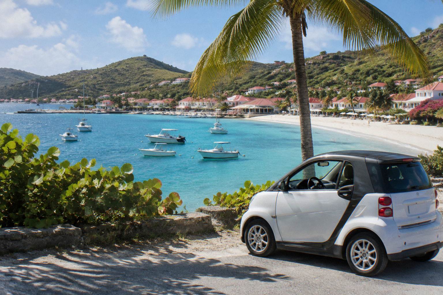
St Barthelemy, better known as St Barts, is a small French island of hills, red-roofed Gustavia and public beaches, and its terrain and transport shape what accessible travel looks like here.
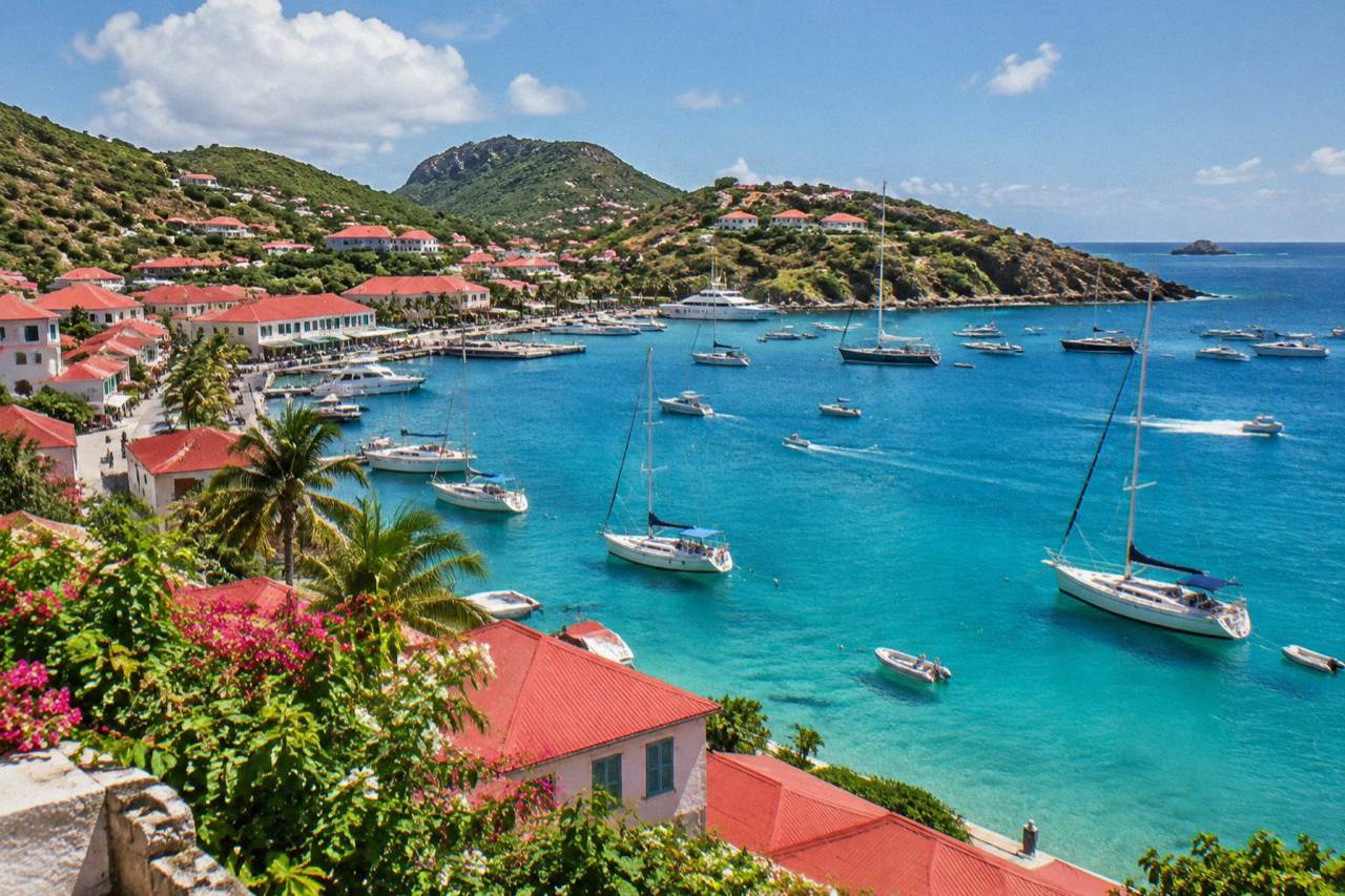
St Barts is a hilly 21 square kilometre island with short-range airport and ferry arrival options, no railway and limited paved-level terrain. Step-free access varies by property and beach, so travellers with mobility needs should plan around Gustavia's flat harbour core, confirm access directly with each hotel or villa, and read the terrain before booking.
St Barthelemy, written St Barts, is a French overseas collectivity in the Caribbean with Gustavia as its harbour capital, and its landscape of steep hills, narrow roads and pocket beaches defines what accessible travel on the island can look like. There is no railway, no bridge and no cruise pier: everyone arrives by small plane or ferry, everyone moves by car or taxi, and the terrain between the beaches is genuinely steep in places. That does not make the island off limits. It means the planning work happens before the trip, property by property and street by street, and this guide walks through each of those decisions in order.
What Does Accessible Travel In St Barts Actually Look Like?
Accessible travel in St Barts is realistic but uneven: the island is about 21 square kilometres of steep hills and public beaches, arrival is by STOL aircraft or ferry, and step-free access varies from the flat harbour core of Gustavia to stepped and sandy terrain elsewhere. No public accessibility register exists for the island, so each hotel, villa, beach and transfer must be confirmed directly. The reward for that planning is a compact island where distances between places are short.
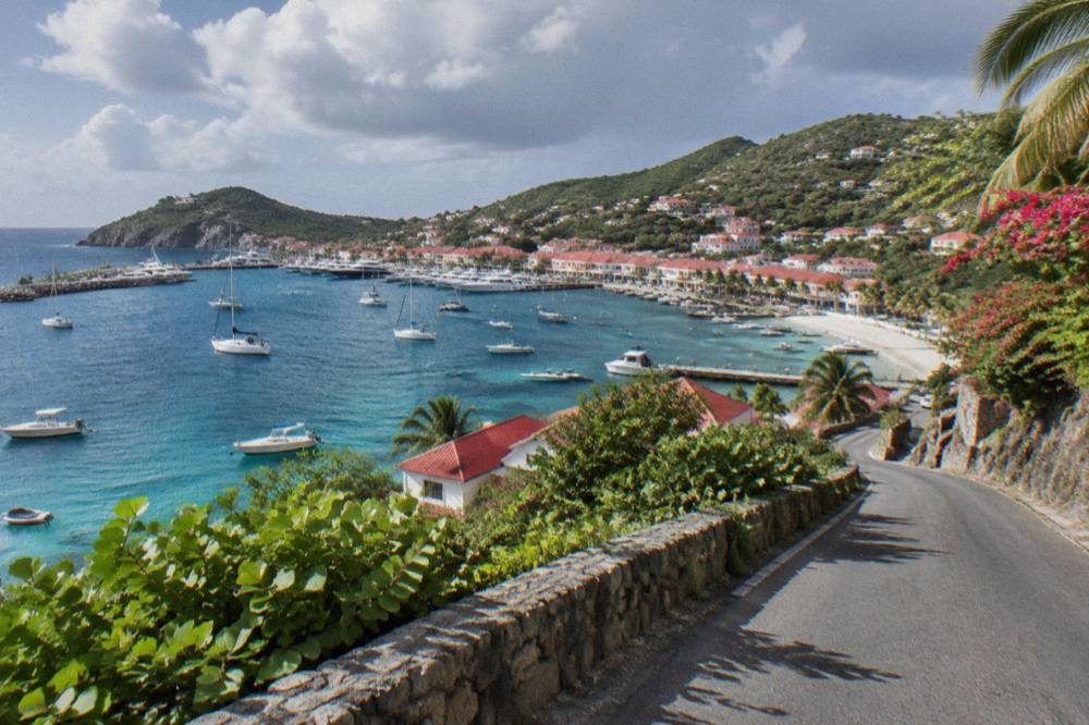
The honest starting point is geography. The island rises quickly from the coast, and the roads that connect Gustavia, Saint-Jean, Flamands and Grand Cul-de-Sac climb, descend and curve, with a 50 km/h island-wide limit and 30 km/h zones in Gustavia and St Jean. For a wheelchair user or a traveller who cannot manage grades, this rules out the informal approach of wandering between beaches on foot. It does not rule out the island.
Gustavia itself is the most forgiving base. The town wraps its harbour, and the quays, the shopping streets and the open public spaces around the port sit on ground that is close to level. Further out, the beaches are public and free to access, as the tourism committee's site states, but access from parking to sand is unpaved at every one of them, and no beach on the island has a boardwalk, matting or beach wheelchair programme. That is a gap to plan around, not a hidden service to assume.
The planning method that works is confirmation by property. The reader should ask each hotel or villa specific questions, whether the route from parking to room is step-free, whether the bathroom has roll-in access, whether the pool has a graduated entry, and record the answers. The rest of this guide goes layer by layer: getting there, getting around, the beaches, the accommodation, the boat alternatives and the practical checklist.
Key Figures For Accessible Travel In St Barts
The island spans about 21 square kilometres of steep hills; arrival is by air or ferry
From the accessible travel in St Barts guide on this site.
How Accessible Is Getting To St Barts?
Arrival is either by small STOL turboprop into Gustaf III Airport or by ferry from St Martin or Sint Maarten, and neither path is fully step-free by default. The airport has a 646 m runway serving small aircraft only, with daylight operations, while the ferries run from Philipsburg and Marigot to Gustavia in about 45 to 60 minutes and can be rough. Both routes need direct confirmation about boarding assistance before booking.
The flight route is described in detail on the St Barts airport guide. Gustaf III Airport, also called Remy de Haenen, has a single 646 m runway and accepts only small turboprops: no jets land here, and operations are daylight and visual-conditions only. Travellers connect through St Martin, San Juan, Guadeloupe or Antigua, with St Barth Commuter flying from SXM, SFG and PTP and Tradewind from SJU and ANU. Small aircraft mean small doors, high wings and steps rather than jet bridges, so a traveller who cannot manage aircraft steps should raise this with the carrier at booking, because the operator's own pages, not any third-party guide, state what boarding assistance exists.
The sea route is covered in the St Barts ferry operators and schedule guide. Great Bay Express sails from Bobby's Marina in Philipsburg on the Dutch side with a crossing of about 45 minutes, and Voyager sails from the Marigot terminal on the French side with a crossing of about 50 to 60 minutes, both arriving at the ferry quay in Gustavia. The crossing can be rough, and neither operator's published material, as this site holds it, guarantees lift-equipped boarding. Two practical notes matter: check-in for Great Bay Express closes 15 minutes before departure with arrival advised 45 minutes early, and a passport is required, since St Barts sits outside the Schengen area.
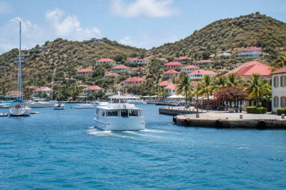
For cruise travellers the picture is simpler and harder at once: ships tender to Gustavia, there is no pier, so the transfer between ship and shore is by small boat, a step that will not suit every traveller. The St Barts cruise port guide covers how tendering works. The table below compares the arrival routes on the factors an accessible traveller will weigh.
| Arrival route | Where it starts | Craft | Crossing or hop | Access considerations |
|---|---|---|---|---|
| St Barth Commuter flights | SXM, SFG, PTP | Small STOL turboprops | A short hop | Aircraft steps, small cabins, confirm assistance with the carrier |
| Tradewind flights | SJU, ANU | Pilatus PC-12 turboprops | A short hop | Low-door boarding, confirm with the operator |
| Great Bay Express ferry | Philipsburg, Sint Maarten | Passenger ferry | About 45 minutes | Gangway boarding at Bobby's Marina, rough seas possible |
| Voyager ferry | Marigot, St Martin | Passenger ferry | About 50 to 60 minutes | Terminal and gangway boarding, rough seas possible |
| Cruise tender | Anchored cruise ships | Tender boats | Short transfer | No cruise pier, small-boat transfer each way |
The full journey from the United States, including the gateway choices, is laid out in how to get to St Barts.
Which Parts Of St Barts Are Easiest To Get Around?
Gustavia's harbour core is the flattest and most walkable part of St Barts, followed by the low-lying stretches around Grand Cul-de-Sac and Lorient, while Saint-Jean, Flamands and the southern headland beaches sit behind steeper approaches. Roads are narrow and winding with a 50 km/h island-wide limit, driving is on the right, and no public bus network is described in any source this site holds, so movement is by rental car, taxi or pre-booked transfer.
The road network is the real constraint. The island has one roundabout near the airport, minimal traffic lights, steep grades that can demand low gear, and tight passing on narrow lanes. For drivers this is manageable with care, and the St Barts car rental guide covers the counters at the airport, which include Avis, Budget and Hertz alongside local agencies and Mini Moke specialists. An open-sided Mini Moke, the island's emblematic rental, offers no protection from rain and a high step over the side sill, so travellers with limited mobility may prefer a small conventional car, though this site prints no rental price and no minimum driver age, because both vary by company.
Taxis operate on the island with route-based tariffs and no meters, so the fare should be confirmed with the driver before setting off, though this site prints no fare figure. Taxis can be booked in advance, which is the pattern that suits accessible travel best: a known vehicle, a known pickup, and a direct question to the operator about boot space for a folded wheelchair.
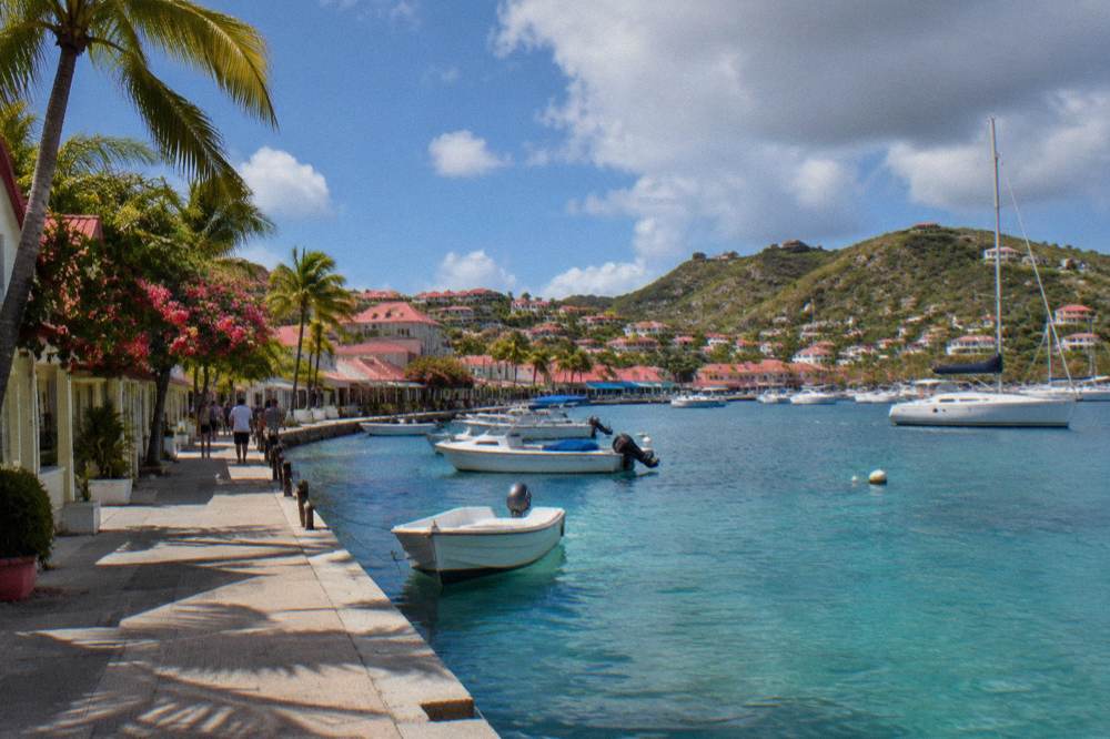
For orientation, the area guides on this site describe each part of the island, and the table below summarises the terrain picture by area using only what the geography and the area pages support.
| Area | General terrain character | Practical note for accessible travel |
|---|---|---|
| Gustavia | Harbour town on near-level ground around the port | Flattest base, shopping and quays reachable on gentle gradients |
| Saint-Jean | Village around the bay, airport on its fringe | Mild slopes into the village, busier around the airport road |
| Grand Cul-de-Sac | Low-lying shoreline on the protected northeast coast | Gentlest beach approaches on the island's leeward side |
| Lorient | Residential valley and bay | Short gentle runs between the road and the sand |
| Flamands | Long beach below a hillside road | Steeper approach road from the ridge above |
| Colombier | Remote bay on the northwest tip | Reached by boat or on foot only, no vehicle access to the sand |
| Gouverneur and Saline | Southern beaches behind hills | Unpaved final stretches and sandy entries |
| Corossol | Traditional village on the west coast | Compact and quiet, gently shelving shoreline |
One transport question deserves its own honest answer: there is no public bus service, paratransit programme or accessible-taxi fleet on the island in any source this site holds, so a traveller should not plan around one existing. Private transfers arranged through hotels and villa managers are the working alternative, and the Gustavia area guide and its neighbours describe each base in detail.
Are St Barts Beaches Accessible?
Every beach on St Barts is public and free to access, but none has a boardwalk, beach matting or wheelchair programme, and the transition from parking or road to sand is unpaved at all of them. The most manageable approaches are the flat, gentle bays such as Grand Cul-de-Sac and Lorient, while Colombier is reachable only on foot or by boat. Beach choice, not beach equipment, is the accessible traveller's lever.
The tourism committee states plainly that the island's beaches are public, from Saint-Jean and Shell Beach within walking range of town, to Gouverneur, Saline, Flamands and Toiny along the southern and western coasts. What the official material does not state, anywhere this site has read, is adapted access infrastructure of any kind. That absence should be treated as real: arrive expecting sand, sometimes a short unpaved drop from the road, and no ramp onto the beach itself. More of these guides are collected on St Barthelemy Travel.
The working strategy is to match the beach to the day. Grand Cul-de-Sac sits on the sheltered northeast shore with a shallow, calm lagoon behind it, and Lorient is a gentle family bay, both facts about map position and exposure rather than promises about safety, and both offer the shortest, flattest routes from road to water on the island. Shell Beach is a short distance from Gustavia along a coastal path with some uneven ground. Colombier, the wildest of the named beaches, has no road to it at all: it belongs to the marine reserve and is reached by a hiking trail or by boat, which makes it a boat-day destination rather than a drive-to one for anyone who cannot manage the trail, which the Colombier hike guide describes.
| Beach | Map position | Vehicle access ends | Final approach to sand |
|---|---|---|---|
| Grand Cul-de-Sac | Northeast coast | At the shore road | Short, flat, gentle bay |
| Lorient | North coast, east of Gustavia | At the bay | Short and level |
| Saint-Jean | North coast at the airport | At the fringe of the village | Short, mild slope from the road |
| Flamands | Northwest coast | On the hillside road above | Steeper descent, unpaved patches |
| Shell Beach (Grand Galet) | West of Gustavia | At the edge of town | Coastal path, some uneven ground |
| Gouverneur | South coast | At the headland car park | Unpaved then sand |
| Saline | South coast, east of Gouverneur | Behind the dunes | Sandy track over low dunes |
| Colombier | Northwest tip, marine reserve | None, no road | Hiking trail or boat only |
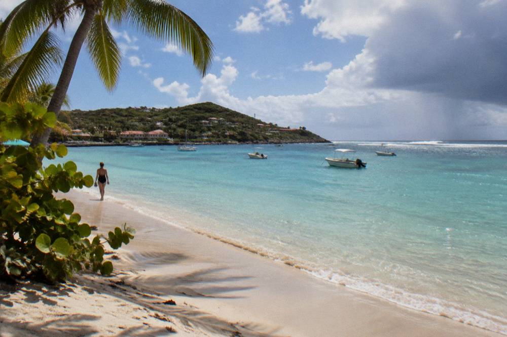
Two rules protect what makes these shores worth the effort. The marine reserve's regulatory-zones page lists a 5-knot speed limit in its zones, a ban on jet skis, 23 dive sites, no dogs on any beach and no touching of turtles, and those rules apply to every visitor equally. The beaches themselves, with their freedom of access, are among the genuinely free experiences on the island, and no walking tour of any kind is listed here to complicate that picture.
Where Should Accessible Travellers Stay In St Barts?
St Barts has no registry of accessible hotel rooms or villas, so the right base is chosen by terrain and confirmed by direct questions to the property: Gustavia for flat access to town, Grand Cul-de-Sac for gentle shoreline, or a villa manager briefed in advance on step-free routes. Rates vary by season and each property's own booking page shows them. Several hotels sit on hillsides or behind steps, and one property becomes Airelles Le Guanahani on 1 November 2026, so names and flags alone answer nothing.
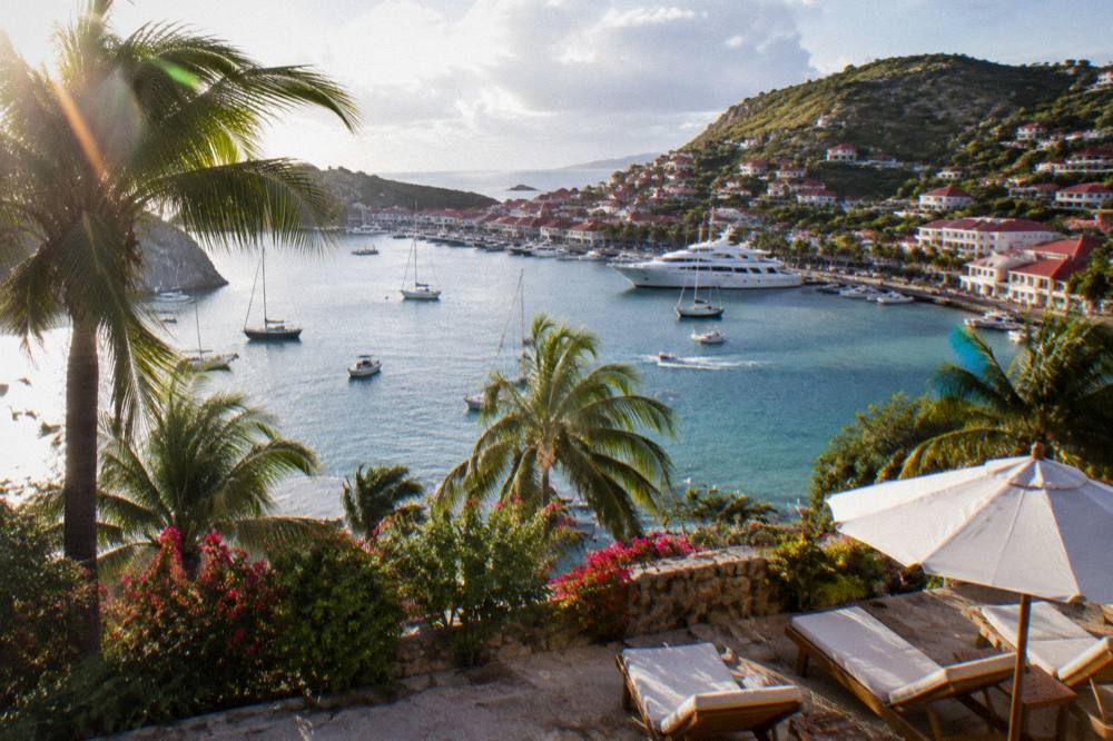
The accommodation stock spans harbour hotels in Gustavia, hillside properties above Pointe Milou and Flamands, and beachfront resorts at Grand Cul-de-Sac, Saint-Jean and Toiny. The St Barts hotels guide names the properties, and the area pages describe the terrain each sits on. For the step-free status of any individual property, its bathrooms or its pool entries, the questions below are the ones to put to the reservation desk or villa manager directly.
| Question to ask the property | Why it matters on St Barts |
|---|---|
| Is the route from parking or drop-off to the room step-free? | Many properties sit on slopes with terraced levels and external stairs |
| Does the bathroom have a roll-in shower and grab bars? | Adapted bathrooms are not listed publicly on the island |
| Is there a lift between reception, rooms and pool levels? | Hillside hotels often stack levels down to a beach or pool |
| How far is the vehicle drop from the nearest beach access? | Beach approaches are unpaved, and some properties are set back from shore |
| Can a taxi or private transfer reach the entrance directly? | Narrow lanes and steep driveways limit where vehicles can stop |
| Is the property open during the planned dates? | Many hotels close each autumn and reopen between mid-October and early November |
Villas are the other half of the market, managed by firms including WIMCO, Sibarth and St Barth Properties, and a villa's single-level layout can suit accessible travel better than a terraced hotel, but the same confirmation rule applies, and villa managers can be briefed in writing before booking. The autumn closure pattern matters for timing too: an island that is quiet in September and October is also an island with fewer open tables and services, which cuts both ways for a traveller who values calm approaches and short queues but relies on specific facilities being open.
Can You See St Barts By Boat Instead Of By Road?
Yes, and for some accessible travellers the boat is the better island: every charter listed here departs from St Martin or Sint Maarten and brings the visitor to Colombier, Ile Fourchue and Gustavia by water, sidestepping the island's steep roads entirely. The group sail runs per person and the private charters are priced per group, with boarding steps and vessel layout to confirm with the operator before booking, since gangplanks and cockpit drops vary by boat.
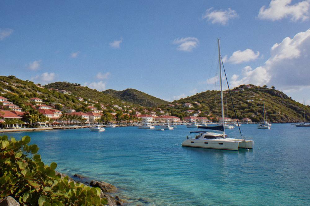
The sea approach turns the island's geography from an obstacle into the itinerary. A day trip from St Martin arrives off Colombier, inside the marine reserve, where the 5-knot limit and the mooring rules keep the water quiet, and continues to Ile Fourchue and the harbour at Gustavia, covering in a hull what a car covers in a day of hill roads. The Gustavia, Colombier Beach and Ile Fourchue tour is the per-person option listed here, and the operator's live listing carries its current dates, which on its listing run only 12 May to 31 August 2027.
Private charters give the same geography with control over the pace and the vessel. The private charter from St Martin runs a full day by powerboat for up to eight guests, and the 2-day 1-night private catamaran adds an overnight stay, with boarding to be discussed directly with the operator, since a stable catamaran's transom and a day boat's stern step are different propositions for a traveller with limited mobility. The one question to ask of any of them is identical: describe the boarding sequence at the departure marina and at each swim stop, and confirm the crew can assist.
For travellers combining St Barts with its larger neighbour, the guides on St Maarten before or after St Barts and the broader things to do in St Barts round out the picture.
What Should Accessible Travellers Plan For Before Flying?
The essentials are confirmation in writing from every property and carrier, travel insurance matched to the trip, an early-season or high-season timing choice made knowingly, and a packing list built around unpaved beach approaches and strong Caribbean sun. Hurricane season runs 1 June to 30 November with a peak mid-August to mid-October, Meteo-France normals show a mean daily high of 28.5 C in January rising to 31.7 C in September, and October is the wettest month at 135.6 mm of rain.
None of this forbids a visit, it just orders the calendar.
Timing first. The climate is warm year round, and Meteo-France normals, 1991-2020, put the mean daily high between 28.5 C in January and 31.7 C in September, with 891.3 mm of rain across the year and October the wettest single month at 135.6 mm. The December to April high season is the period when the hotels, ferries and flights run at their fullest, while the late-summer overlap with the hurricane season peak is the period when properties close for their annual break. An accessible traveller who depends on specific services being open should weigh that trade deliberately, using the month-by-month guides on this site, and check their own government's travel advice for the territory before booking.
Insurance second. The St Barts travel insurance guide covers the considerations, and this site makes no claim about medical facilities or evacuation: the island is small and remote, which is exactly the profile for which travellers with existing conditions normally want cover in place before departure.
| Planning item | What to do | Why on St Barts |
|---|---|---|
| Room and bathroom access | Confirm step-free route and roll-in shower in writing with the property | No public accessibility registry exists for the island |
| Flight boarding | Ask the carrier about aircraft steps and cabin size at booking | SBH is served by small STOL turboprops only |
| Ferry boarding | Ask the operator about gangway assistance at both terminals | Two operators, two terminals, no guaranteed lift boarding |
| Beach plan | Choose flat bays such as Grand Cul-de-Sac and Lorient | Beach approaches are unpaved island-wide |
| Boat day | Confirm the boarding sequence with the charter operator | Vessels and stern steps differ by boat |
| Travel insurance | Match cover to the trip before booking anything | Small remote island, own-government advice applies |
Packing third: sturdy footwear for uneven ground, sun protection sized to a tropical latitude, and any mobility equipment packed so it can survive handling, with a note that plugs on the island are type C and E. The St Barts packing list and St Barts electricity guide carry the detail, and the St Barts travel advisory guide summarises the official advice picture.
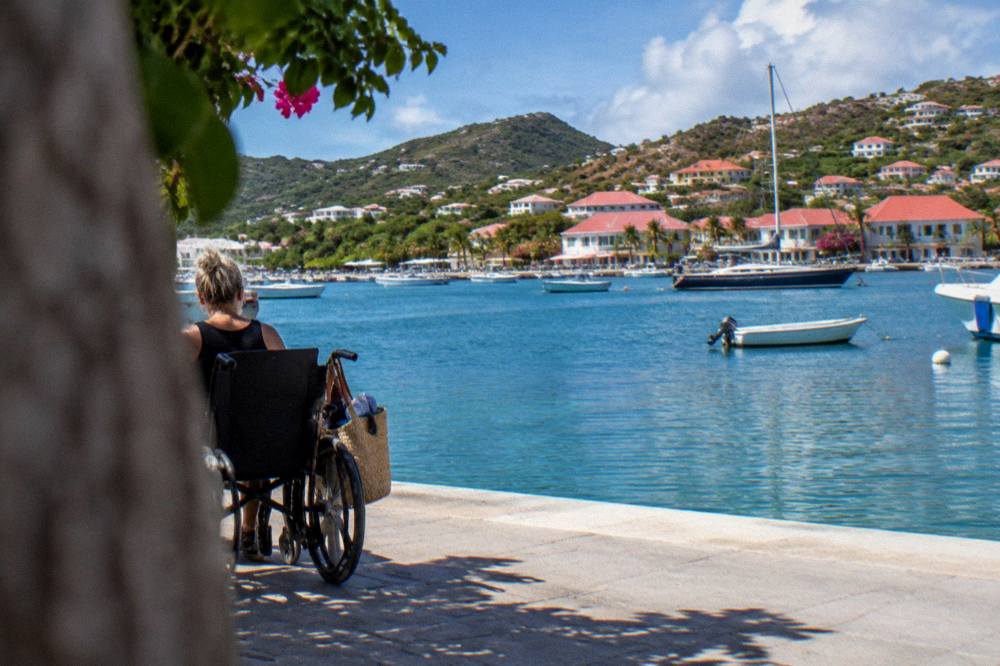
The last word belongs to scale. St Barthelemy Travel is built on one small island of roughly 10,700 residents, and everything an accessible itinerary needs, harbour, beaches, boats and beds, sits within a few kilometres of everything else. The terrain asks questions, and the answers above are the ones to collect before booking, one property and one operator at a time.
Common Questions About Accessible Travel In St Barts
Is St Barts wheelchair accessible?
Partly. Gustavia's harbour core is near level, the roads reach most beaches by car, and boats reach the rest, but there is no boardwalk, beach matting or beach wheelchair programme, and beach approaches are unpaved. Confirm step-free access with each property directly.
Can a wheelchair user fly into St Barts?
The airport, Gustaf III, serves only small STOL turboprops on a 646 m runway, with steps rather than jet bridges. Boarding assistance must be arranged with the carrier in advance, since the operator's own pages, not third-party guides, state what is available.
Are taxis on St Barts suitable for travellers with limited mobility?
Taxis run on route-based tariffs with no meters, and can be pre-booked, which is the pattern that suits accessible travel best. State equipment needs to the operator when booking.
Which St Barts beach is easiest to reach?
By terrain, the flat northeast bays, Grand Cul-de-Sac and Lorient, have the shortest, gentlest routes from road to sand. All beaches are public, and none has adapted access equipment.
Is the ferry to St Barts an option for accessible travellers?
Great Bay Express from Philipsburg, about 45 minutes, and Voyager from Marigot, about 50 to 60 minutes, both board by gangway at their terminals, and the crossing can be rough. Ask each operator directly about boarding assistance before booking.
Do any St Barts hotels have accessible rooms?
No registry of accessible rooms exists for the island. Ask each property in writing about step-free routes, roll-in showers, lifts and transfer access, and remember that many hotels close each autumn and reopen between mid-October and early November.