St Barts History
St Barthelemy, usually written St Barts, is a small French island in the Caribbean, and its documented story is shorter and more specific than most guides admit.
St Barts, or St Barthelemy, has been an overseas collectivity of France since 2007, with Gustavia as its capital, and its dated history rests on three anchors: that 2007 status change, Hurricane Irma in September 2017, and an airport named for Gustaf III.
St Barthelemy, usually written St Barts, is a small French island in the Caribbean, about 21 square kilometres of hills, public beaches and turquoise water with roughly 10,700 residents. It has been an overseas collectivity of France since 2007, its capital and harbour town is Gustavia, its currency is the euro, and French is the official language with English widely spoken. The island's documented story is thinner than the colorful legends repeated in travel copy, and that is exactly why it is worth telling straight. This page from St Barthelemy Travel reports the dated facts, names the landmarks by their map position, and skips the invented anecdotes.
What Is The History Of St Barts?
Three anchors remain: St Barts became an overseas collectivity of France in 2007 under Article 74 of the French Constitution, Hurricane Irma struck the island in September 2017, and the island's airport is named for Gustaf III. Beyond those, this page describes landmarks, institutions and traditions without dates.
That may read as unusually restrained for a history page, but it is the honest shape of the material. Plenty of island histories drift into founding dates, colonial treaties and population origins that no primary source in the research file confirms. The island's Swedish chapter is real and is documented locally, and the best place to encounter it is the museum covering St Barts and its Swedish history, which stands in Gustavia near the harbor. The museum's own collections, not a guidebook's paraphrase, are the authority on that period.
What can be stated with confidence is the present constitutional picture. The Collectivite de Saint-Barthelemy has its own territorial council, is represented in the French Parliament, and administers local matters from Gustavia. Before 2007 the island's administration was tied to Guadeloupe; the 2007 change made it a collectivity in its own right. Population figures come from the French census system: the January 2023 census count is 10,660, and earlier official legal populations reference 2021. INSEE, the French statistics agency, publishes those figures under territory code 977, which is distinct from similarly named mainland French communes.
The island also runs on French systems in daily life. Emergency numbers are the standard French ones: 15 for medical emergencies, 17 for police, 18 for firefighters, and 112 as the European emergency number. The time zone is UTC minus 4, Atlantic Standard Time, with no daylight saving observed. Plug types are C and E. None of this is folklore, and all of it is the working machinery of a French territory in the Caribbean, which is what St Barts is today.
How Did St Barts Become A French Overseas Collectivity?
Since 2007, St Barts has been an overseas collectivity of France under Article 74 of the French Constitution, separated from Guadeloupe's administration, with a territorial council seated in Gustavia and representation in the French Parliament. The French government's overseas territories service and the Collectivite's own site state this status, and no other constitutional date is needed to describe it.
The 2007 change matters for travelers more than most constitutional details. It is the reason the island uses the euro, runs French customs and entry rules, and issues its own local regulations, including the tourist tax framework administered through the Collectivite's official platform. Entry to the territory sits outside the Schengen area, so the European ETIAS and EES systems do not govern arrival; readers should check their own government's travel advice for passport requirements rather than rely on secondhand rules.
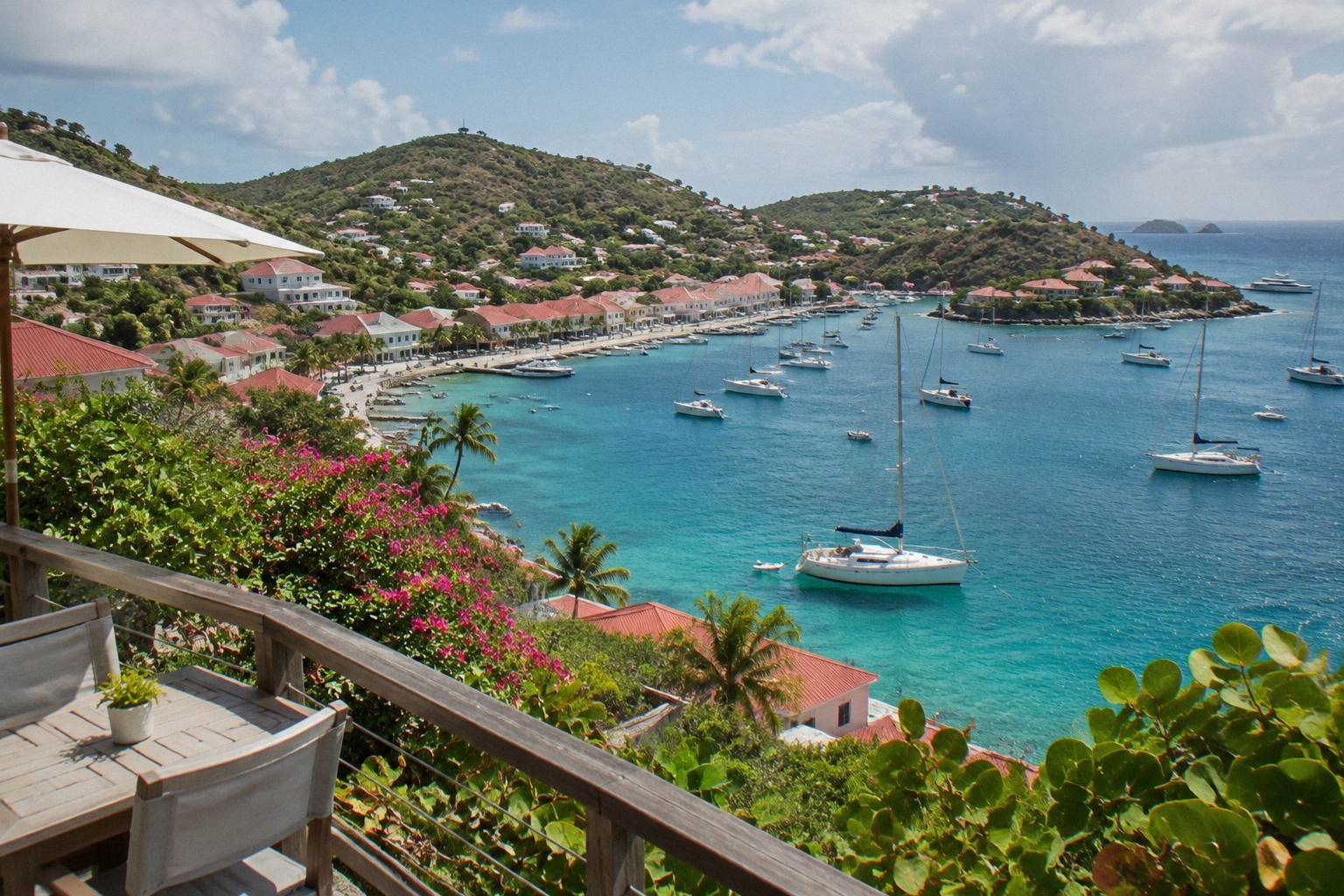
Gustavia's role as capital follows from that status. The town wraps its harbor, where ferry passengers from St Martin arrive and cruise visitors come ashore by tender boat, since the port has no cruise pier. Around the harbor stand the landmarks described further down this page, including the forts on its points and the Wall House Museum. The guide to getting to St Barts covers the gateways and connections in full.
The collectivity also regulates its environment directly. Its territorial environment agency, the Agence Territoriale de l'Environnement, administers the marine reserve rules that protect the bays of Colombier and Ile Fourchue, a subject covered in its own section below. Local self-government and French sovereignty are not in tension here; they are the same story, and 2007 is the year it took its current form.
What Did Hurricane Irma Do To St Barts?
Hurricane Irma struck St Barts in September 2017, and the September hurricane threat remains the single most consequential recurring fact in the island's modern history. The Atlantic hurricane season runs from 1 June to 30 November, with peak activity from mid-August to mid-October and a climatological peak near 10 September.
Irma's landfall reshaped the island's building stock, hotels and infrastructure, and the reconstruction that followed is visible in today's property landscape: the major hotels that closed for their annual autumn pause in 2026, and are reopening between mid-October and early November, are all post-Irma rebuilds or substantially renewed properties. The pattern of annual autumn closures, late August through mid-October, is a routine response to the quietest and most storm-exposed weeks of the year, and it repeats every season rather than being a one-off event.
The hurricane season also shapes how the island plans its calendar. The high season and its sailing events, from the Bucket Regatta in mid-March to Les Voiles de St Barth in April, all sit comfortably outside the season window. What is clear is the seasonal structure itself and Irma's place in it as the defining modern event.
For travel planning, the practical reading is straightforward. The Meteo-France climate normals for 1991 to 2020, discussed below, show the wettest months clustered in autumn, with October the wettest at 135.6 mm of rain across the year's total of 891.3 mm. Anyone booking late-summer or autumn travel should watch official weather sources, build flexibility into plans, and expect some hotels and restaurants to be closed for their annual pause.
What Historical Landmarks Can You See In St Barts Today?
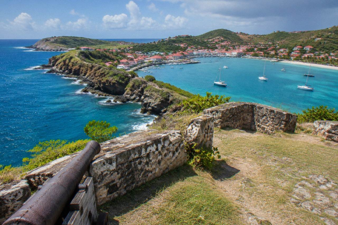
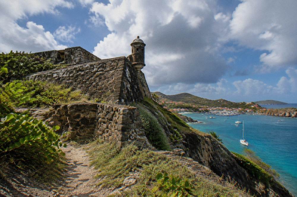
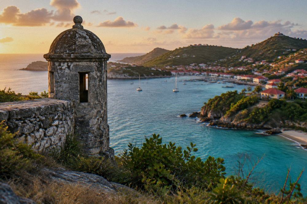
The landmarks of St Barts cluster around Gustavia harbor and the island's headlands: Fort Karl at the harbor's southern point, Fort Gustaf at its northern side, the Wall House Museum on the quay, and the Corossol village with its shell museum on the western coast. Each is .
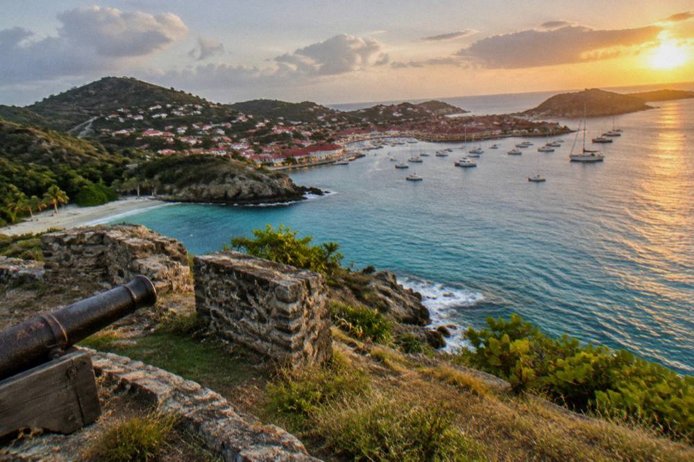
Gustavia is the natural starting point, because the town's layout still serves its harbor function. The two forts sit on the points flanking the bay, and both are covered in dedicated pages on this site. The Wall House Museum stands near the waterfront and holds local historical collections, while the island's Swedish history is documented at the museum linked earlier on this page. Outside town, Corossol is a village on the western coast with its own character and a shell museum, and it keeps a traditional pace distinct from the harbor capital. Further along the coast the public beaches stretch from Flamands in the northwest to Gouverneur and Saline in the south, and all of them are public by law. The Gustavia harbor guide explains how the port works for arriving visitors, including tendering.
| Landmark | Position | What You See |
|---|---|---|
| Fort Karl | Southern point of Gustavia harbor | Fortification site |
| Fort Gustaf | Northern side of Gustavia harbor | Fortification site |
| Corossol village | Western coast | Traditional fishing village character |
| Gustaf III Airport | Saint-Jean, on the northern shore | Named for Gustaf III, 646 m runway |
The churches of the island, including the Catholic church in Gustavia and the historic church at Lorient, appear on every visitor's route, but the same rule applies: they are named landmarks in the landscape. The lighthouse on the point above Colombier's hiking trail is another named feature, described in the hiking pages of this site by its position on the coastal path.
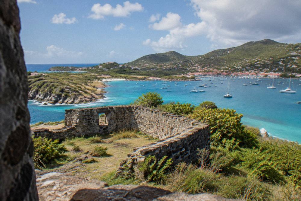
What gives these places their weight is the setting rather than any plaque. The harbor below the forts fills with yachts in season, the New Year's Eve period being its annual peak of activity, and the hills behind town carry the red roofs that define the island's look. Walking between these landmarks is free, as the beaches and open public places are, and no guided walking tour is listed here.
Why Is The Airport Named Gustaf III?
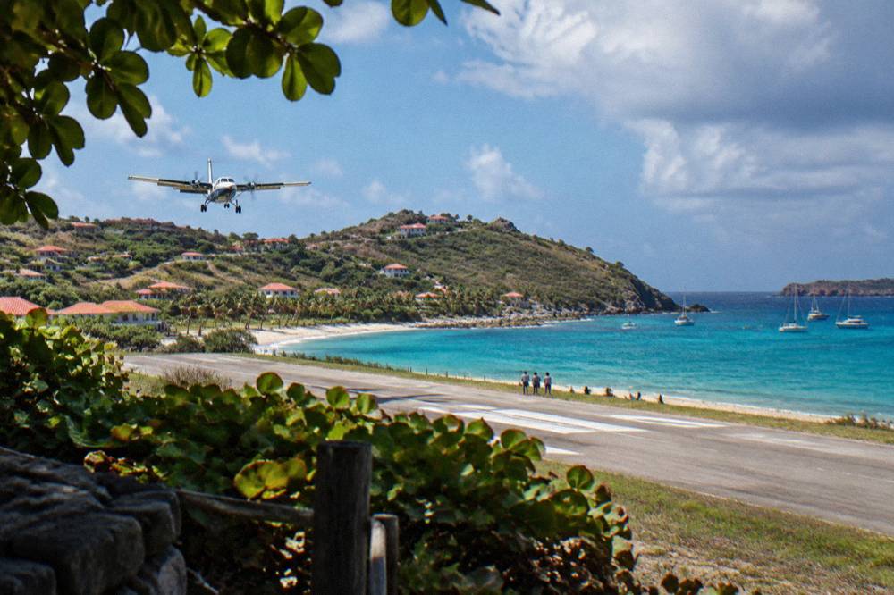
Gustaf III Airport, code SBH, also called Remy de Haenen, is named for Gustaf III, and its 646 metre runway on the shore at Saint-Jean makes it one of the most distinctive airfields in the Caribbean: only small STOL turboprops operate there, in daylight and visual conditions only, with no jet operations and no runway lights.
The runway, 10/28 in aviation terms, measures 646 metres, and that single figure explains almost everything about how the island connects to the world. No jet can land on it. Scheduled service arrives on aircraft such as the DHC-6 Twin Otter, Cessna 208B Grand Caravan and Pilatus PC-12, flown by pilots with specific certification for the approach over the hill at Col de la Tourmente. Operations are daylight and visual flight rules only, with the airport closing shortly after sunset. The airport guide and the page on landing at St Barts airport cover the experience in detail.
Because no long-haul aircraft can reach the island, every arrival routes through a gateway. St Barth Commuter flies from St Martin's SXM, from Grand Case on the French side, and from Guadeloupe. Tradewind flies from San Juan and from Antigua. Winair also serves the island from St Martin. The alternative is the sea: Great Bay Express runs from Philipsburg on the Dutch side, about 45 minutes to Gustavia, and Voyager runs from Marigot on the French side, about 50 to 60 minutes. The crossing can be rough, and no operator promises otherwise. Full details sit in the ferry operators and schedule guide.
| Gateway | Connection To St Barts | Operator |
|---|---|---|
| St Martin, SXM | Small plane from Princess Juliana airport | St Barth Commuter, Winair |
| St Martin, Grand Case (SFG) | Small plane from Grand Case airfield | St Barth Commuter |
| Guadeloupe, PTP | Small plane from Pointe-a-Pitre | St Barth Commuter |
| San Juan, SJU | Small plane from Puerto Rico | Tradewind |
| Antigua, ANU | Small plane, seasonal frequency | Tradewind |
| Philipsburg, Dutch side | Ferry from Bobby's Marina, about 45 minutes | Great Bay Express |
| Marigot, French side | Ferry from the Marigot terminal, about 50 to 60 minutes | Voyager |
The airport's name carries the island's Swedish thread, the same thread documented at the museum in Gustavia. The name Gustaf III belongs to that chapter, and the runway named for him now receives only the smallest scheduled aircraft in commercial Caribbean service. No printed flight time in minutes appears on this page, because those figures come from aggregators rather than operators; the honest description is a short hop from the gateways, and the operators' own booking pages show the schedules. Everything else covered here is indexed on St Barthelemy Travel.
How Has St Barts Changed Since Becoming A Collectivity?
Since 2007, St Barts has governed itself as a French overseas collectivity of about 21 square kilometres with roughly 10,700 residents, a population count anchored by the January 2023 census figure of 10,660, while its visitor economy has centered on small-scale, high-end tourism: cruise ships tender rather than dock, the port reports no public call schedule, and the island regulates its marine environment through a national nature reserve.
The population figure deserves its precision because everything else about the island is small. About 10,700 people, in INSEE's latest count, live across roughly 21 square kilometres of hills and coastline. The territorial council administers services from Gustavia, and the collectivity's own regulations govern matters from the tourist tax, collected by accommodations year-round, to the beach rules described below. A page on is St Barts a country is not in the approved link list for this article, so the short version stands here: it is not a country, it is a French collectivity.
Tourism operates at a deliberately contained scale. Cruise ships anchor offshore and transfer passengers by tender boat to Gustavia, because there is no cruise pier, and the port's commercial site publishes no public call schedule; the small luxury vessels that call most often do so between autumn and spring. Aggregators compile itineraries, but the official record of calls is the port's own, and it does not publish one in advance.
The visitor economy's structure is equally visible on land. A large villa market, managed by firms including WIMCO, Sibarth and St Barth Properties, sits alongside the hotel sector, and the hotels follow the annual autumn closure pattern described above, reopening in waves between mid-October and early November. The hotels guide and the luxury hotels guide list the properties. Getting around is by rental car, with Avis, Budget and Hertz counters at the airport and local agencies offering Mini Mokes, covered in the car rental guide.
What Rules Protect The St Barts Marine Reserve?
The St Barts marine reserve, administered by the island's environment agency, sets a 5 knot speed limit in its zones, bans jet skis and other motorized water devices, lists 23 dive sites, prohibits dogs on beaches and water within the reserve, and forbids touching or disturbing protected species including sea turtles, corals and rays, according to the agency's regulatory zones page.
These rules are not fine print; they are the reason Colombier Bay and the waters around Ile Fourchue remain what they are. The reserve covers five zones, including enhanced protection areas with additional bans on fishing, anchoring and scuba. In Colombier and Fourchue bays, vessels over 25 metres are excluded, ecological mooring buoys are preferred, and anchoring is restricted. Drones are prohibited in and near the reserve without authorization.
| Reserve Rule | What It Means For Visitors |
|---|---|
| 5 knot speed limit | Boat traffic moves slowly inside reserve zones |
| No jet skis or seabobs | Motorized and electric water devices are banned |
| No touching turtles or corals | Protected species include turtles, sharks, rays, urchins |
| No dogs on beaches | Applies island-wide, on leash or not, under local order |
| Vessels over 25 m excluded | Colombier and Fourchue bays only |
| 23 listed dive sites | Dive activity is organized around the reserve's sites |
The dog ban deserves emphasis because it catches visitors off guard: a municipal order prohibits dogs on all beaches across the island, not only inside the reserve, and signs stand at beach entrances. The no touching rule extends to nest reporting; the environment agency asks that turtle nests or sightings be reported to it directly, and that light and noise near nesting areas be reduced.
Green and hawksbill turtles are the species most often seen, in the Grand Cul-de-Sac lagoon and around Colombier, and the reserve's protections exist for them as much as for the reef. For visitors arriving by boat from St Martin, these rules shape the day: the sail into Colombier is slow by law, the snorkeling is look-only, and the beach at the head of the bay is public and free to walk. The nature reserve guide expands on the zones.
What Traditions And Events Mark The St Barts Year?
The St Barts calendar runs from the St Barth Music Festival on 8 to 18 January 2027 through the St Barths Bucket Regatta in mid-March, Les Voiles de St Barth in April, the island's patron saint feast day on 24 August and the Gourmet Festival on 9 to 15 November 2026, a rhythm that concentrates the island's public life in the dry months on either side of hurricane season.
Only two of those events carry confirmed dates: the Music Festival's 8 to 18 January 2027 edition and the Gourmet Festival's 9 to 15 November 2026 dates. The Bucket Regatta is written as mid-March, Les Voiles as April, and the Film Festival as late April or early May, because their 2027 details are not confirmed. The Fete de Saint-Barthelemy on 24 August honors the island's patron saint with ceremonies in Gustavia, and the following day brings the Saint-Louis festivities at Corossol, traditions that tie the calendar to the island's village life rather than to its visitor economy.
| Event | Place In The Year | Confirmed Dates |
|---|---|---|
| St Barth Music Festival | January | 8 to 18 January 2027 |
| St Barths Bucket Regatta | Mid-March | Mid-March only |
| Les Voiles de St Barth | April | April only, dates unconfirmed |
| St Barth Film Festival | Late April or early May | Unconfirmed |
| Fete de Saint-Barthelemy | 24 August | Annual observance |
| Saint-Louis, Corossol | 25 August | Annual observance |
| St Barth Gourmet Festival | November | 9 to 15 November 2026 |
The sailing events carry the island's maritime identity, and the harbor at Gustavia is their stage. The Bucket and Les Voiles bring large racing yachts, and the sailing and yacht weeks guide covers them. Between the regattas, the harbor's working life continues with ferries from St Martin, tender boats from cruise calls and the fishing boats of Corossol.
The climate underpins all of it. The Meteo-France normals for 1991 to 2020 for the St Barts station show a mean daily high of 28.5 C in January rising to 31.7 C in September, with 891.3 mm of rain across the year and October the wettest month at 135.6 mm. The sea stays warm year-round, about 26 C in winter and about 29 C from August to October. Those figures, not folklore, explain why the event calendar clusters where it does.
| Month | Mean Daily High C | Mean Daily Low C | Rain Mm |
|---|---|---|---|
| January | 28.5 | 23.5 | 52.6 |
| February | 28.6 | 23.3 | 38.4 |
| March | 29.0 | 23.5 | 41.4 |
| April | 29.8 | 24.2 | 50.9 |
| May | 30.7 | 25.1 | 61.7 |
| June | 31.2 | 25.9 | 56.0 |
| July | 31.2 | 26.0 | 80.4 |
| August | 31.6 | 26.3 | 79.6 |
| September | 31.7 | 26.2 | 96.9 |
| October | 31.4 | 25.8 | 135.6 |
| November | 29.9 | 25.0 | 118.6 |
| December | 28.9 | 24.1 | 79.2 |
How Do You Experience St Barts History On The Water?
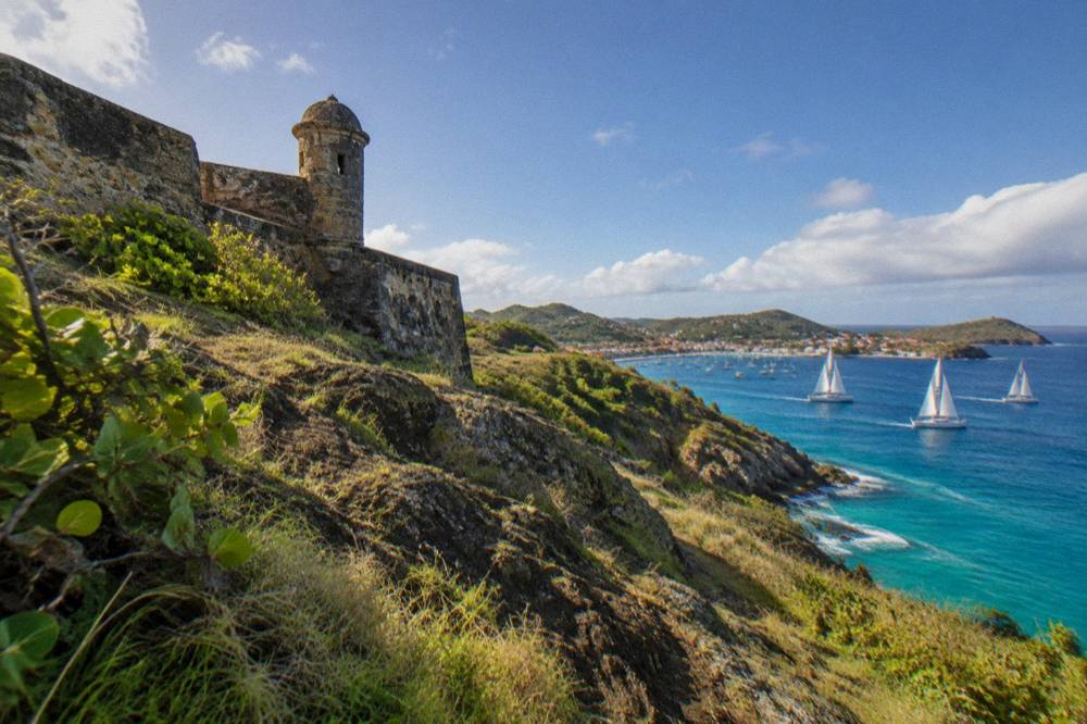
St Barts is best understood from the sea, because its history is a harbor history, and the bookable day trips listed here all depart from St Martin or Sint Maarten and cross to St Barts by boat, visiting Gustavia, Colombier Beach and Ile Fourchue, the bays protected by the marine reserve. No tour listed here departs from St Barts itself.
That last sentence surprises readers, but the departure ports are Simpson Bay, Cole Bay, Anse Marcel and Grand Case on the neighboring island, which is where the charter fleets are based. A day on the water puts the island's geography in order: the short crossing, the entrance to Gustavia below the forts, the passage along the coast, and the slow, 5 knot approach into Colombier where the reserve's rules take over. The water is the historical highway here, and it still functions as one.
The group sail option, the Boomerangs Group Sail and Snorkel, runs per person on its listing for the 12 May to 31 August 2027 window, with the operator's listing as the live link. The private charter route, the 8-Hour Private Charter and the Private Charter from St Martin, prices a whole boat for up to eight or ten guests, and the overnight option, the 2-Day 1-Night Private Catamaran, extends the crossing into a stay. All prices, ratings and durations for these products render from the live listings rather than from this page.
For visitors planning the wider trip, the things to do in St Barts page is the site's main collection, and the shopping guide covers Gustavia's retail streets, where the island's duty-free status under French rules applies. The weddings guide covers another way the island's visitor economy expresses itself, and the St Barts vs St Martin comparison helps travelers decide how to split time between the two islands.
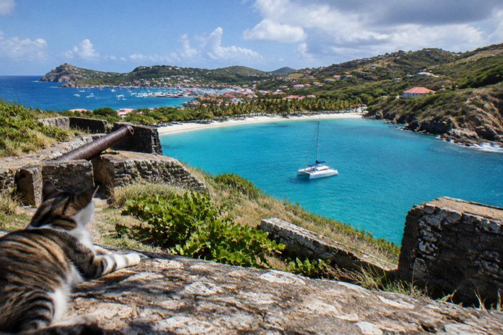
The historical thread through all of this is simple: the harbor made the island, the sea connects it, and the reserve now protects the clearest evidence of what the water here has always been. A visitor who sails into Colombier, walks its public beach and returns to Gustavia below the forts has traced the island's working story in one day, without a single plaque required.
Common Questions About St Barts History
Is St Barts still French?
Yes. St Barts, or St Barthelemy, has been an overseas collectivity of France since 2007, with its own territorial council seated in Gustavia, representation in the French Parliament, the euro as currency and French as the official language, English widely spoken.
Was St Barts ever Swedish?
The island has a Swedish chapter, which is documented at the museum in Gustavia covering St Barts and its Swedish history, and the name Gustavia and the airport's name, Gustaf III, both reflect that thread. This site prints no dates for the period.
When did Hurricane Irma hit St Barts?
Hurricane Irma struck the island in September 2017. The Atlantic hurricane season runs 1 June to 30 November each year, with peak activity from mid-August to mid-October.
How old is Gustavia?
Gustavia is the capital and harbor town of St Barts, and no founding date for the town is known. Its landmarks are the two forts and the Wall House Museum, whose collections cover the Swedish period.
Why can't jets land at St Barts?
The runway at Gustaf III Airport is 646 metres long, which rules out jets entirely. Only small STOL turboprops operate there, in daylight and visual conditions only, so all long-haul visitors connect through St Martin, San Juan, Guadeloupe or Antigua, or arrive by ferry from St Martin.
Are the historic sites in St Barts free to visit?
The beaches and open public places are public and free. The forts sit on public headlands around Gustavia harbor, and walking between them costs nothing. No guided walking tour is listed here, so check museum hours and tickets directly before a visit.
The honest summary of St Barts history is short: a French Caribbean island that took its current constitutional form in 2007, carries an older Swedish thread in its names and museum, was tested by Hurricane Irma in September 2017, and protects its maritime inheritance through one of the region's actively enforced marine reserves. Everything else worth knowing about the island is in its present tense, on the things to do in St Barts page and in the guides linked throughout this one.