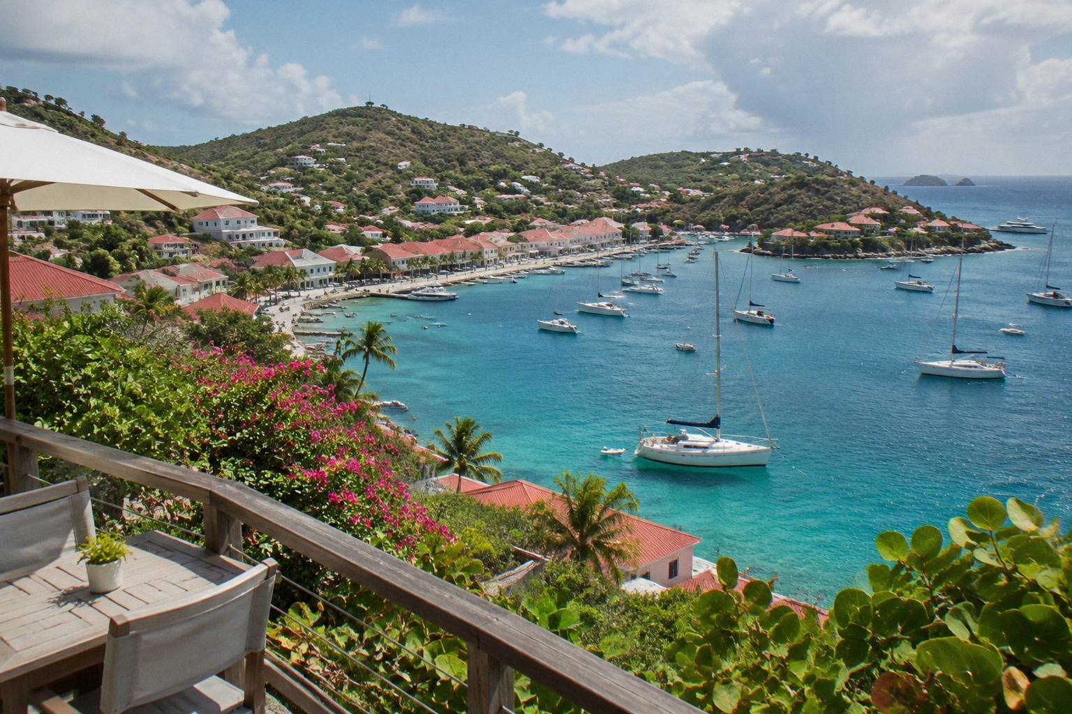
Is St Barts Safe
St Barthelemy, the small French Caribbean island better known as St Barts, is governed by French law, a marine reserve with written rules, a defined hurricane season and the standard French emergency numbers. Here is what each of those means for a trip.
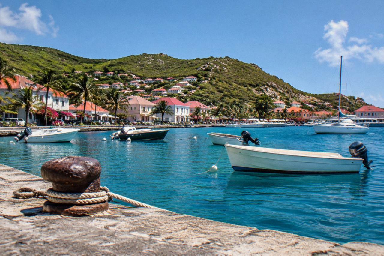
St Barts is a French overseas collectivity with the standard French emergency numbers (15, 17, 18 and 112), a marine reserve that sets firm rules on the water, drive-on-the-right roads with 50 km/h limits island-wide and a hurricane season that runs 1 June to 30 November. Safety on the island is mostly a matter of sea conditions, steep driving and seasonal weather awareness.
St Barthelemy, a French overseas collectivity in the Caribbean since 2007 and better known as St Barts, is a island of about 21 square kilometres where safety questions have unusually clear written answers. The territory runs on French law and French emergency numbers, its waters fall partly inside a national marine reserve with published rules, its single airport accepts only small turboprop aircraft in daylight, and its weather follows a defined Atlantic hurricane season. The question "is st barts safe" can therefore be answered with regulations rather than impressions.
What Emergency Numbers And Health Care Exist On St Barts?
St Barts uses the standard French emergency numbers: 15 for medical emergencies (SAMU), 17 for police and gendarmerie, 18 for firefighters, and 112 as the general European emergency number, all listed for the territory by the French government's overseas territories page. As a French collectivity, the island operates under French civil protection structures. The territorial environment agency also publishes a direct line for reporting injured or nesting protected species.
These four numbers are the same ones that work in mainland France, and the French overseas ministry lists them for Saint-Barthelemy alongside its description of the territory's status. Calling 112 reaches the joint emergency services from any phone. For anything involving the marine reserve, the environment agency asks that turtle nests, strandings or sightings be reported to its published contact rather than handled directly.
That structure matters for two practical decisions. First, travellers with an existing medical condition should carry their documentation, since care is organised on the French model. Second, because the island is small, serious cases are typically stabilised locally and transferred to larger facilities in the region, which is why travel insurance that covers medical transfer within the Caribbean is standard advice for any small island, not a specific warning about this one. Readers with specific concerns can also see the related question page on safety and pregnancy in St Barts.
St Barts Emergency Numbers
The four French numbers in use on the island
French government overseas territories page; French overseas ministry
Is The Sea Around St Barts Safe To Swim And Sail?
The sea around St Barts is regulated inside the Saint-Barthelemy Marine Nature Reserve, whose rules, published by the environment agency, set a maximum speed of 5 knots in its zones, ban jet skis, seabobs and towed motorised devices, forbid touching or chasing protected species including turtles, and prohibit dogs on all beaches island-wide. Boats over 25 metres are excluded from Colombier and Ile Fourchue bays.
The reserve covers several zones around the island, including Colombier Bay and Ile Fourchue, with simple and enhanced protection levels. The enhanced zones add restrictions on fishing, anchoring and scuba. The rules exist to protect marine life: green and hawksbill turtles are present around the island, and the agency's beach page asks visitors not to touch turtles, not to leave waste, and to keep light and noise down near nesting areas.
| Reserve Rule | What It Means For You |
|---|---|
| 5-knot speed limit in protected zones | Boats slow down inside marked zones; swimmers and snorkellers share the water |
| No jet skis or towed motorised devices | These crafts may not be used in reserve waters |
| No touching turtles, corals or protected species | Observation only, no gloves in the water |
| No collecting shells, sand or coral | Take nothing from the beach or sea |
| No dogs on beaches | Island-wide ban, on leash or off, under municipal order |
| No anchoring in enhanced zones | Use ecological mooring buoys where provided |
For travellers who want the water without managing a boat themselves, crewed day trips from St Martin are the main bookable option, since every tour listed here departs from St Martin or Sint Maarten rather than from St Barts. The group sail that visits Gustavia, Colombier Beach and Ile Fourchue is one such product, and it is the related tour for this guide. Private alternatives run the full day or overnight.
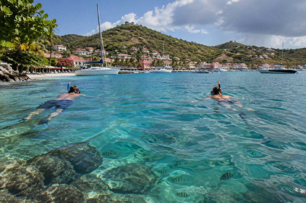
Swimming conditions themselves vary by shore and by weather, and the tourism committee describes the island's beaches as public and free to access, with conditions depending on location. The honest answer on currents at any specific beach on any specific day is a local one: flags, signs and the day's sea state. What can be stated in general terms is that all beaches are public, that the reserve rules protect what is in the water, and that sea temperatures stay warm year-round, about 26 C in winter to about 29 C from August to October.
Is It Safe To Drive On St Barts?
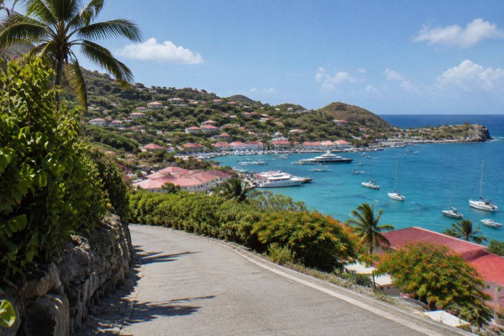
Driving on St Barts follows French rules on the right side of the road, with narrow, winding and steep roads, an island-wide speed limit typically of 50 km/h and 30 km/h in populated areas such as Gustavia and St Jean, and French priority rules including priorite a droite at unsigned intersections, according to local rental and travel guidance. There is one roundabout, near the airport, and few traffic lights.
The roads are the single biggest adjustment for new arrivals. Grades can be steep enough to need low gear, passing places are tight, and markings are limited in spots. Rental guidance consistently recommends small vehicles with reasonable ground clearance, which is why the island's fleet skews toward compact cars, small SUVs and the open Mini Moke. The airport counters include Avis, Budget and Hertz, alongside local agencies. Full driving details, licensing and vehicle types are covered in the St Barts car rental guide.
| Road Rule On St Barts | Detail |
|---|---|
| Side of the road | Right, under French traffic law |
| Island-wide limit | Typically 50 km/h |
| In Gustavia and St Jean | Typically 30 km/h |
| Roundabouts | One, near the airport |
| Right of way | French rules apply at unsigned intersections |
| Vehicle types | Small cars, small SUVs and Mini Mokes dominate the rental fleet |
Confidence rather than caution fatigue is the goal: the roads are engineered for the terrain and residents drive them daily, but a visitor's first hour behind the wheel should not be a rush from the airport. Allow more time than a map suggests, take the descents in low gear, and park where the vehicle is fully off the carriageway. The how-to-arrive page at getting to St Barts covers the onward logistics from both the airport and the ferry terminal.
One more road point worth its own line: the airport sits effectively in Saint-Jean, and the approach roads around it carry a mix of pedestrians, taxis and arriving drivers all looking for their bearings. The dedicated St Barts airport guide covers what to expect on the ground there.
Is Flying Into St Barts Airport Safe?
The Gustaf III Airport, also called Remy de Haenen (SBH), has a single 646-metre runway that accepts only small STOL turboprop aircraft, operating in daylight and visual conditions only, with no jet operations of any kind, and pilots flying the approach require special certification for the short field and the hill crossing on final. The French aviation AIP details govern the operation.
Those constraints are the safety system. No large aircraft can use the strip, flights stop around sunset because there are no runway lights, and the carriers serving the island, including St Barth Commuter, Tradewind and Winair, fly types such as the Twin Otter, the Cessna Grand Caravan and the Pilatus PC-12 that are built for exactly this kind of field. The famous landing is a certified, routine operation for qualified crews rather than an improvisation. The airport code page and the landing at St Barts airport guide cover the passenger side of it.
When Is Hurricane Season On St Barts And How Does It Affect A Trip?
The Atlantic hurricane season runs from 1 June to 30 November each year, with activity typically peaking from mid-August to mid-October and the climatological peak near 10 September. Hurricane Irma struck the island in September 2017 and remains the reference event. No source supports predicting a storm for any specific date.
The practical consequences are seasonal rather than alarming. Many hotels and restaurants close for an autumn maintenance period and reopen in waves between mid-October and early November, so late-September travel means a quieter island with fewer open tables. The sea stays warm through these months, and the Meteo-France normals for 1991 to 2020 show the mean daily high holding between 28.5 C in January and 31.7 C in September. October is the wettest month at 135.6 mm of rain across the year's 891.3 mm total.
| Period | What The Climate Normals And Season Rules Show |
|---|---|
| 1 June to 30 November | Official Atlantic hurricane season window |
| Mid-August to mid-October | Typical peak of activity |
| Around 10 September | Climatological peak of the season |
| October | Wettest month, 135.6 mm average rain (Meteo-France normals, 1991-2020) |
| Mid-October to early November | Hotels and restaurants reopen in waves |
| December to April | High season, outside the defined peak |
Monitoring is straightforward: Meteo-France publishes vigilance levels for Saint-Martin and Saint-Barthelemy, and the National Hurricane Center's Atlantic outlook is the reference for storm activity. Anyone travelling between June and November should watch those feeds in the week before departure, as with any Caribbean island. The full seasonal picture, including the month-by-month breakdown, is in the St Barts hurricane season guide and the companion question page on whether it is safe to go to St Barts right now.
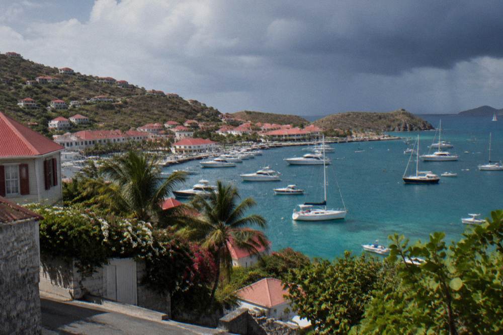
The other weather angle is the ferry. The crossing from St Martin to Gustavia takes about 45 minutes on Great Bay Express from Philipsburg and about 50 to 60 minutes on Voyager from Marigot, and both operators' pages note that sailings are subject to sea conditions. A rough crossing is possible at any time of year; no operator promises a smooth one. If the forecast is for swell, the small-plane hop from St Martin is the alternative, covered in the flights to St Barts guide.
What Are Entry Rules And Formalities For St Barts?
St Barts is outside the Schengen area, so a Schengen visa does not authorise entry and the ETIAS and EES systems do not govern arrivals, with ETIAS not yet operational. Entry is set by a French ministerial order of 18 April 2012 as amended; visa-exempt nationals, including US, UK, Canadian and EU citizens, stay up to 90 days, and onward travel documentation is required. Passport-validity rules differ by nationality, so each traveller should check their own government's advice.
The points that consistently catch people out are three. First, arriving via St Martin means two sets of formalities on some routings, since St Barts is a separate territory for entry purposes even though the hop between them is short. Second, EU citizens may use a national ID card rather than a passport, while US travellers need the passport book, not the passport card, for air travel. Third, a tourist tax, the taxe de sejour, applies and is collected by accommodation providers rather than at the border.
| Entry Point Or Rule | Status |
|---|---|
| Schengen | St Barts is outside the area |
| ETIAS and EES | Do not govern entry; ETIAS not live |
| Visa-exempt stays | Up to 90 days for US, UK, Canadian and EU citizens |
| EU citizens | National ID card accepted |
| US citizens | Passport book required, not the card |
| Onward ticket | Required |
The customs and entry detail, including the legal basis and the visa-nationality annexes, sits in the dedicated St Barts customs and entry guide context and the St Barts passport page. For the arrival logistics themselves, whether by plane or by boat, see how to get to St Barts and the ferry operators and schedule guide.
Is The Tap Water And Food Situation On St Barts Safe?
Tap water on St Barts is a desalinated municipal supply managed under French public-health rules, and the standard question of whether it is safe to drink is answered in detail on the site's dedicated page on the island's tap water, which reports the supply's source and treatment. Food hygiene on the island operates under French food-safety inspection, the same regime as mainland France, as a French collectivity.
Neither topic supports a blanket claim in either direction from the material available, which is why the water question has its own page: is tap water safe to drink in St Barts. The food scene can be described in general terms as French-influenced, with the autumn closure pattern already noted above. Anyone with a sensitive stomach on any Caribbean trip tends to prefer bottled water, and St Barts, with euro pricing and imported goods alongside local supply, makes that easy.
Is St Barts Safe For Cruise And Day Visitors?
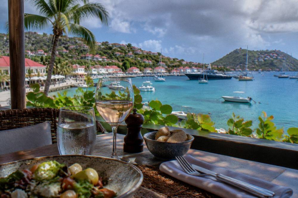
Cruise ships calling at St Barts anchor offshore and tender passengers into Gustavia by boat, as there is no cruise pier, and the port's own commercial pages describe this tender-based operation. Passenger ships are limited by territorial authorisation to vessels of up to 1,200 passenger capacity, with anything larger requiring executive council approval, and tender operations can be affected by swell.
For a day visitor arriving by tender, the safety picture is a compressed version of everything above: Gustavia is walkable, the harbour area is the arrival point, and the hills beyond it need either a taxi, a prearranged vehicle or a booked excursion. The constraints of a tender port mean the return time to the ship matters, and sea state can shape the day. The St Barts cruise port guide covers the arrival in detail, and the SXM airport to ferry guide covers the independent version of the same day-trip logic.
Day visitors with a booked boat product have the simplest version of the day, since the crew handles the crossing, the reserve rules and the schedule. The full-day private charter is the most flexible of those products, priced per group, and it departs from the St Martin side as every product listed here does.
What Everyday Risks Should A Visitor To St Barts Actually Plan For?
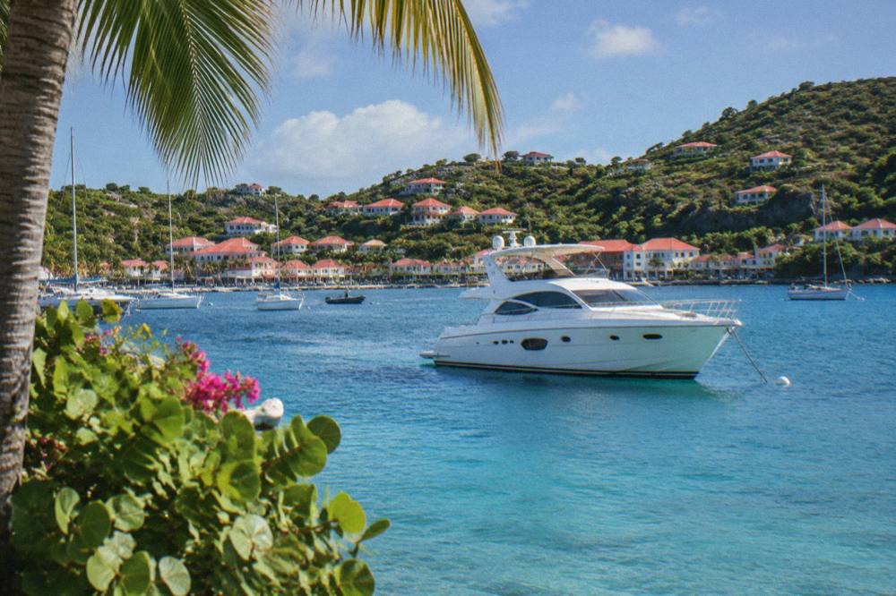
The everyday risks worth planning for on St Barts are sun exposure in a tropical climate whose mean daily high never falls below 28.5 C, the sea itself through currents and swell rather than anything in the water, steep and narrow roads driven on the right, and seasonal weather between June and November. French emergency numbers apply, and the marine reserve's rules cover the environmental side of a visit.
A short list, honestly ranked, looks like this. Sun first: the norms show warm temperatures every month, and a Caribbean day at 29 C with sea breeze dehydrates faster than it feels. Sea second: swim where others swim, respect flags, and never swim at a beach you cannot see conditions on. Roads third: drive a small car, take the hills slowly, park fully off the road. Weather fourth: check Meteo-France and the NHC outlook in season.
| Everyday Concern | The Planning Response |
|---|---|
| Sun and heat | Highs of 28.5 C to 31.7 C year-round; cover up midday, drink water |
| Sea conditions | Check flags and swell before swimming; ferry sailings depend on sea state |
| Roads | Small vehicle, low gear on descents, 50 km/h island limit, 30 km/h in towns |
| Weather in season | Meteo-France vigilance and the NHC outlook, 1 June to 30 November |
| Medical issue | 15 for SAMU, 112 general; carry insurance covering regional transfer |
| Wildlife and environment | Reserve rules: no touching turtles, no collecting, no dogs on beaches |
For families, the same list applies with more margin on each item, and the family angle, including the beaches that suit children and the practicalities of traveling with them, has its own coverage in the things to do in St Barts overview. Access to beaches is universal on the island: all of them are public and free.
How Do The Bookable Boat Trips Handle Safety From St Martin?
Every bookable boat product listed here departs from St Martin or Sint Maarten, never from St Barts, is operated by licensed crewed vessels, and covers the crossing and the reserve rules as part of the product. The trip list spans one per-person group sail, four private day charters and one overnight catamaran, all visiting St Barts on a set route.
Booking a crewed trip shifts responsibility for the crossing, the mooring and the reserve compliance onto the operator, which is the simplest safety upgrade available on this corridor. The per-person sail runs only from 12 May to 31 August 2027 on its listing, so shoulder and holiday dates fall to the private products. The private charter from St Martin and the private sailboat from Sint Maarten are the two further day options, both per group.
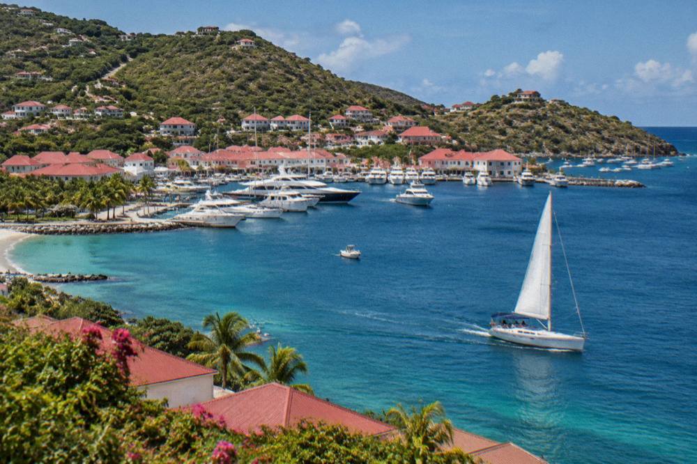
For anyone weighing a boat day against the ferry, the difference is simple: the ferry is a scheduled crossing shared with commuters and visitors, while a chartered trip is a closed group with a crew who can adapt the route to the day's conditions. Both are legitimate choices, and both stop being advisable in the same weather, which the operators monitor on the same Meteo-France feeds.
Is St Barts Safe For Solo Travellers?
The same regulations apply regardless of party size: French emergency numbers, public beaches, marine reserve rules and drive-on-the-right roads. No source supports a distinct risk profile for solo travellers, and the island's small scale and walkable Gustavia make independent movement straightforward.
Is St Barts Safe At Night?
Gustavia and the main areas are lit and active in the evenings in season, and the emergency number 17 reaches the gendarmerie anywhere on the island. The road risk, steep grades and limited lighting outside town, is the main practical consideration after dark.
Are There Sharks Or Dangerous Marine Life Around St Barts?
The environment agency's rules protect sharks and rays alongside turtles, listing them as species not to touch, chase or feed. The reserve framework treats marine life as something to observe, and the agency's regulatory page frames interactions around not disturbing animals rather than around danger to people.
Is The St Barts Ferry Crossing Dangerous?
The crossings from Philipsburg and Marigot take about 45 minutes and about 50 to 60 minutes respectively, and both operators state that sailings are subject to sea conditions, with weather cancellations possible. A rough crossing can happen at any time of year, so travellers prone to seasickness should take precautions and check the forecast, as the dedicated seasickness page advises.
Does St Barts Have Crime?
No crime statistic for St Barts is carried from a primary source, and no "safe" or "unsafe" verdict is offered for any destination. What can be said is structural: the island has about 10,700 residents, a gendarmerie reachable on 17, and the ordinary French policing framework of an overseas collectivity.
Should I Buy Travel Insurance For St Barts?
Yes. Insurance covering medical transfer within the Caribbean is standard advice for any small island, since serious cases are stabilized locally and moved to larger regional facilities. St Barts otherwise offers unusually concrete answers to safety questions, from defined speed limits to a certified STOL airport and the standard French emergency system, and the dedicated St Barts travel insurance guide covers the detail.
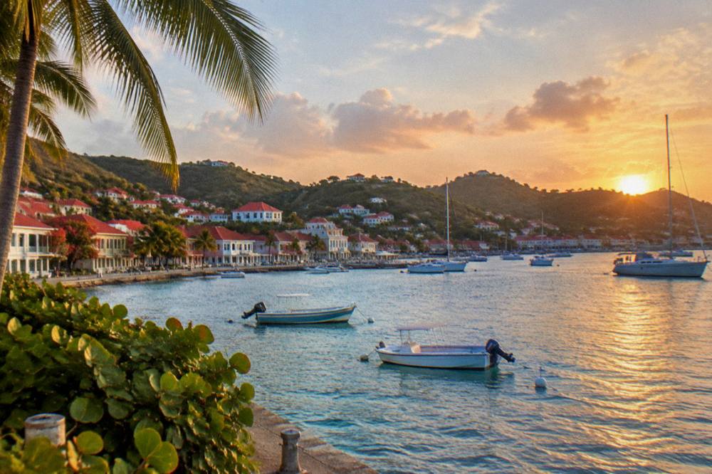
The overall picture is that St Barthelemy Travel reports an island where the safety questions have unusually concrete answers: published reserve rules, defined speed limits, a certified STOL airport, a dated hurricane season and the standard French emergency system. Plan for sun, sea state and the hills, watch the weather between June and November, and the rest of it is ordinary island common sense.