St Barts Water Temperature
The sea around St Barts stays warm enough to swim every month of the year, running about 26 C in winter and about 29 C from August to October, while Meteo-France normals put mean daily air highs between 28.5 C and 31.7 C.
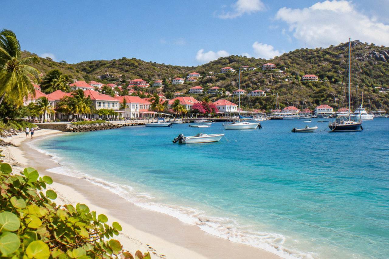
Sea temperature around St Barts runs about 26 C in winter to about 29 C from August to October, warm enough for swimming year round, according to a secondary climate source. Meteo-France normals for 1991 to 2020 put mean daily air highs at 28.5 C in January and 31.7 C in September.
St Barthelemy, written St Barts, sits in the northeast Caribbean as a French overseas collectivity, and the water that surrounds its roughly 21 square kilometres of hills and public beaches stays warm in every month of the year. Sea temperature runs about 26 C in winter and about 29 C from August to October, figures from a secondary climate source that are rounded, and the air above it barely dips lower: the Meteo-France normals for 1991 to 2020, measured at the island's long-running Gustavia-area station, put the mean daily high at 28.5 C in the coolest month and 31.7 C in the warmest. This page sets out what those numbers mean for a swim, a snorkel stop or a boat day, month by month and season by season, and pairs them with the rainfall and hurricane-season context that actually shapes plans. St Barthelemy Travel keeps the figures here tied to the station normals and to rounded sea readings only.
What Is The Water Temperature In St Barts?
The sea around St Barts runs about 26 C in winter and about 29 C from August to October, according to a rounded secondary climate source, which makes the island a year-round swimming destination: no month brings water cold enough to need a wetsuit. The Meteo-France normals for 1991 to 2020 pair that sea warmth with mean daily air highs of 28.5 C in January and 31.7 C in September.
Those two numbers, about 26 C and about 29 C, are the honest edges of what a published source supports. The readings are rounded and secondary, so this page writes "about" in front of them and never a precise decimal: the sea is warm in winter, warmer from late summer into autumn, and the four-degree spread between the two is the whole annual story. Swimwear, not a wetsuit, is the practical takeaway for every month.
Air temperature tracks the same gentle curve. The Meteo-France normals, drawn from the St Barthelemy station opened in 1959 at 44 metres altitude, show a mean daily high that never falls below 28.5 C and never rises above 31.7 C. Mean daily lows run from 23.3 C in February to 26.3 C in August. An island where the average afternoon changes by about three degrees across a whole year has one season in temperature terms, and the sea follows it.
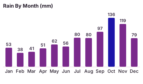
What separates the months is not warmth but water. Rainfall, not sea temperature, is the variable the normals show swinging hardest: October averages 135.6 mm against February's 38.4 mm, within an annual total of 891.3 mm. A reader choosing between months for a beach trip is really choosing between rainfall patterns and hurricane-season exposure, both of which this page covers further down.
How Does St Barts Water Temperature Change Across The Year?
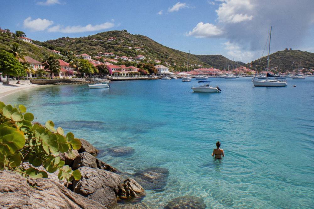
St Barts sea temperature follows one smooth curve: about 26 C through the winter months around January and February, warming through spring, and reaching about 29 C from August to October before easing back. There is no cold season, no upwelling event on record and no month where the sea stops being swimmable, only a gentle four-degree drift.
The winter plateau coincides with the island's driest air. February, the month with the lowest rainfall in the normals at 38.4 mm, is also a month when the sea sits near its annual low of about 26 C. That combination, warm-but-not-warmest water and the lightest rain of the year, is why the December-to-April window is the busiest on the calendar for arrivals through St Martin by small plane or ferry, routes covered on the guide to getting to St Barts.
Spring brings a steady warm-up on both measures. The mean daily high climbs from 29.0 C in March to 30.7 C in May, and the sea moves off its winter floor toward its summer level. Rain stays moderate in the normals, with April at 50.9 mm and May at 61.7 mm. The sea in May is warm by any standard, and the per-person group sail listed here runs in exactly this shoulder stretch, from 12 May to 31 August 2027 on its listing.
From August to October the sea holds at about 29 C, its warmest sustained level, and this is also the heart of the Atlantic hurricane season, which runs 1 June to 30 November with its peak from mid-August to mid-October. Warm water and storm risk arrive together; the seasons overlap by nature, not coincidence. November and December see the sea slide back toward its winter reading while rainfall drops from October's peak of 135.6 mm to 79.2 mm in December.
| Period | Sea Temperature | Mean Daily Air High (Meteo-France Normals, 1991-2020) | Character |
|---|---|---|---|
| December to February | About 26 C | 28.5 to 28.9 C | Driest air, coolest sea, peak visitor season |
| March to May | Warming between the two levels | 29.0 to 30.7 C | Gentle warm-up, moderate rain |
| June to July | Approaching warmest | 31.2 C | Early hurricane season, quiet |
| August to October | About 29 C | 31.4 to 31.7 C | Warmest sea, hurricane-season peak, wettest months |
| November | Easing back toward winter level | 29.9 C | Rainfall falling, 118.6 mm in the normals |
For anyone weighing the water against a full day on it, the sailing and charter options that visit St Barts from St Martin all put passengers in this same sea, whether for a single afternoon or an overnight trip.
When Is The Best Time To Swim In St Barts?
Every month of the year is warm enough to swim in St Barts, so the best time depends on what else comes with the water: the December-to-April window pairs the about-26 C winter sea with the lowest rainfall in the Meteo-France normals, while August to October delivers the warmest sea at about 29 C alongside the hurricane-season peak and the wettest months.
The trade-off is straightforward. A swimmer who wants the warmest possible water finds it from August to October, when the sea holds at about 29 C, but those same months carry October's 135.6 mm of average rain and sit inside the season's mid-August to mid-October peak of storm activity. A swimmer who wants the most dependable weather finds it from December through March, accepting water a few degrees cooler at about 26 C and air highs that the normals place at 28.5 to 29.0 C.
Neither choice involves cold water. Three degrees of sea-temperature spread across the whole year is a smaller range than many temperate beaches see in a single week. The practical differences between months come from rain, from the autumn closure pattern that sees many hotels and restaurants shut and reopen between mid-October and early November, and from flight and ferry capacity through the St Martin gateway, covered in the flights to St Barts guide.
For a boat-based swim day there is a further wrinkle worth knowing. The St Barts marine reserve, run by the island's environment agency, imposes a 5-knot speed limit inside its zones and bans jet skis outright, so time in the water at places like Colombier Bay is calm water time by regulation, not just by luck. The same rules ask visitors not to touch turtles and keep dogs off the beaches.
Does Hurricane Season Affect St Barts Water Temperature?
Hurricane season, which runs 1 June to 30 November with a peak from mid-August to mid-October and a climatological peak near 10 September, overlaps exactly the months when St Barts sea temperature is at its warmest at about 29 C, but the season changes planning risk, not the water's warmth: no month in the season turns the sea cold.
The overlap is physical. Tropical systems draw their energy from warm ocean water, and the Caribbean's warmest surface temperatures arrive in late summer. The island's warmest normals months, September at 96.9 mm of rain and 31.7 C mean daily high, and October at 135.6 mm, sit inside the season's sharpest window. That is the full extent of what a planning page can say: hurricane season raises the chance of disruption to ferries and flights in late summer and autumn, and it never makes the sea unswimmable by temperature.
The island carries a serious reference point. Hurricane Irma struck St Barts in September 2017 and caused devastating damage, and any honest discussion of autumn travel to the island acknowledges it. The 2026 season to mid-October had been unusually quiet in the Atlantic, with no hurricane forming until early October, and this page predicts nothing. Travellers booking August-to-November dates should read the season coverage in the hurricane-season context on this site and watch official outlooks from the National Hurricane Center as their dates approach.
One autumn nuance matters to swimmers more than storms: the closure pattern. Many hotels and their restaurants close in the late-summer-to-autumn low period and reopen in waves between mid-October and early November, so a warm-sea October swim comes with a quieter island and fewer open tables than the same swim in February. The Gourmet Festival from 9 to 15 November 2026 is one of the anchors that marks the island's return to full season.
What Do The Meteo-France Normals Say About St Barts Air Temperature And Rain?
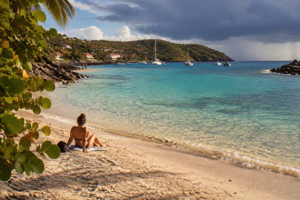
The Meteo-France normals for 1991 to 2020, from the St Barthelemy station at Gustavia, show mean daily highs rising from 28.5 C in January to 31.7 C in September, mean daily lows between 23.3 C and 26.3 C, and 891.3 mm of rain across the year, with February the lowest month at 38.4 mm and October the highest at 135.6 mm.
These are 30-year averages, not last year's readings, and they are the numbers this site uses for every air-temperature and rainfall claim. The monthly detail matters because the sea does not move in isolation: the warmest air months and the warmest sea months are the same months, and the wettest months are the same months too. A reader who internalises one table from this page should internalise this one.
| Month | Mean Daily High C | Mean Daily Low C | Rain mm |
|---|---|---|---|
| January | 28.5 | 23.5 | 52.6 |
| February | 28.6 | 23.3 | 38.4 |
| March | 29.0 | 23.5 | 41.4 |
| April | 29.8 | 24.2 | 50.9 |
| May | 30.7 | 25.1 | 61.7 |
| June | 31.2 | 25.9 | 56.0 |
| July | 31.2 | 26.0 | 80.4 |
| August | 31.6 | 26.3 | 79.6 |
| September | 31.7 | 26.2 | 96.9 |
| October | 31.4 | 25.8 | 135.6 |
| November | 29.9 | 25.0 | 118.6 |
| December | 28.9 | 24.1 | 79.2 |
Two patterns deserve a second look. First, the rainfall jump in the second half of the year: every month from July through November sits above the 79.6 mm August figure, while no month from January through June reaches 62 mm. Second, the flatness of the temperature band: eight consecutive months, June through October, have mean daily highs between 31.2 C and 31.7 C. The island's weather year is a dry half and a wet half wearing the same warm clothes.
Where Can You Swim From St Barts Beaches?
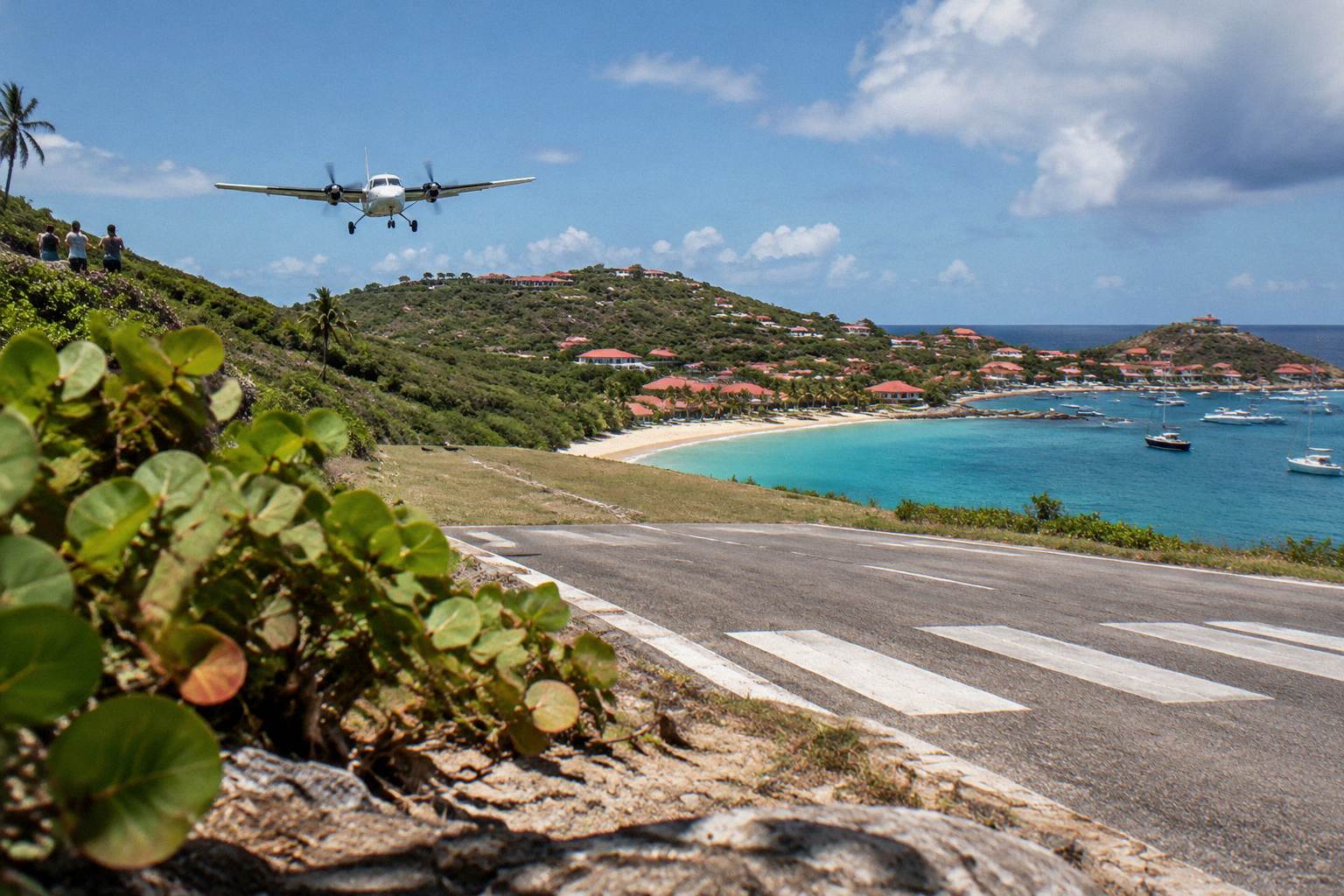
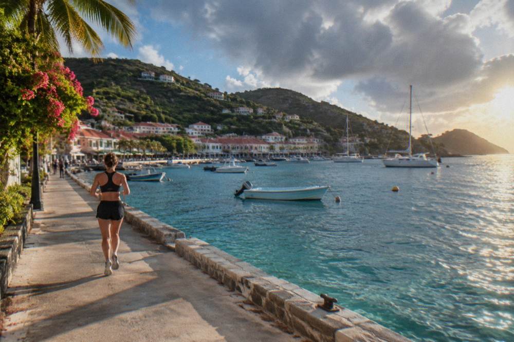
Every beach on St Barts is public and free to access, and all of them sit in the same warm sea, from Saint-Jean and its curve beside the airport runway to Colombier on the northwest tip, so beach choice is about position and scenery, not water temperature: no corner of the island has measurably different sea warmth.
The island is small, about 21 square kilometres, and its beaches ring it. The tourism committee's list names Saint-Jean, Gouverneur, Saline, Shell Beach, Flamands, Colombier, Grand Cul-de-Sac, Lorient, Toiny, Marigot, Corossol and Anse des Cayes among the public shores. This site carries dedicated pages for the main ones, including the Colombier Beach guide, reached on foot or by boat, and the Grand Cul-de-Sac guide on the sheltered eastern side.
The marine reserve adds one more layer of order. Colombier Bay and the waters around Ile Fourchue fall inside reserve zones where the environment agency's regulatory-zones page lists the 5-knot speed limit, the ban on jet skis and seabobs, the 23 listed dive sites and the rule against touching protected species, including the green and hawksbill turtles that frequent the island's waters. Swimmers and snorkellers share that framework; it is why a boat day in the reserve feels as ordered as it does.
What this page cannot do is rank the beaches for swimming conditions. Sand character, waves, currents and facilities vary by shore and by weather, so the honest guide names the beaches, marks them public, and sends a reader to the individual pages for position and access detail. The one thing all twelve share is the sea itself: about 26 C in winter, about 29 C from August to October.
| Beach | Position On The Island | Access Notes From This Site's Guides |
|---|---|---|
| Saint-Jean | North shore beside Gustaf III Airport | Public; the runway approach passes overhead |
| Colombier | Northwest tip inside the marine reserve | Public; reached on foot or by boat |
| Grand Cul-de-Sac | East coast | Public; sheltered lagoon area |
| Saline | South coast | Public; reached on a short walk from the road |
| Gouverneur | South coast west of Saline | Public |
| Shell Beach | West edge of Gustavia | Public; a short walk from town |
Is St Barts Water Warm Enough For Snorkeling And Diving?
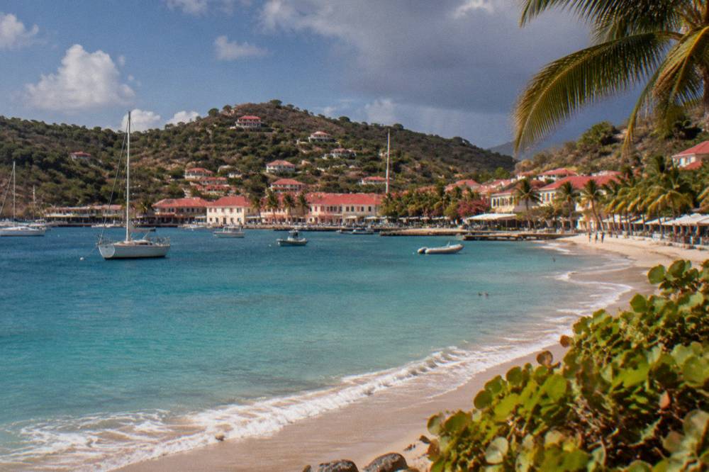
Yes: at about 26 C in winter and about 29 C from August to October, St Barts water is warm enough for snorkeling and diving in every month without a thick wetsuit, and the marine reserve's 23 listed dive sites and turtle protections make the island's clear-water zones a regulated destination rather than a free-for-all.
Snorkelers will find the practical limits set by conditions rather than temperature. The crossing from St Martin can be rough, the ferry operators' own pages say so, and sea state around the reserve varies with weather, but the water itself never chills. The environment agency's rules shape what a snorkeller does once in: no touching or chasing turtles, no gloves in the water, no collecting coral, shells or sand, and no feeding of any protected species. Those rules apply to visitors arriving by boat day trip as much as to anyone else.
The bookable ways to reach that water all depart from the St Martin or Sint Maarten side, never from St Barts itself, which matters for planning: a day of swimming at Colombier and Ile Fourchue is a St Martin-based excursion. The Gustavia, Colombier and Ile Fourchue sail is this site's featured option for exactly that itinerary, and its per-person season runs from 12 May to 31 August 2027 on its listing. Its live details sit on the operator's page: See the live listing.
Divers get the same warm-water story with more structure: 23 dive sites sit inside the reserve's zones, some in enhanced-protection areas where scuba is restricted, so site selection follows the regulator's map as much as the divemaster's preference. Water clarity around the island benefits from the same small-scale protections; anchoring is restricted in Colombier and Fourchue bays, with ecological mooring buoys preferred and vessels over 25 metres excluded.
What Should You Pack For Warm Water In St Barts?
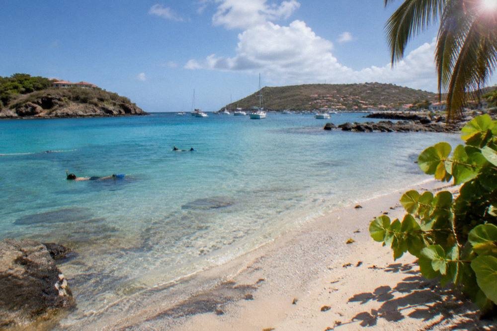
Pack for permanent swim weather: normal swimwear, reef-safe sun protection and a rash guard for long sessions are the whole list, because water of about 26 C to about 29 C never demands a wetsuit, and the bigger packing questions for St Barts are sun intensity, dress norms and the island's euro currency rather than sea temperature.
The sun, not the sea, is what catches visitors out. With mean daily highs between 28.5 C and 31.7 C in every month of the normals, a full beach day delivers continuous exposure, and time on the water reflects it. A light cover-up answers both the sun and the island's dress culture, which leans French-influenced and smart in Gustavia's shops and restaurants even as the beaches themselves stay informal; the site's coverage of dress norms and of what to pack covers this in detail.
Currency and logistics matter more than thermal planning. Local costs are in euros, card acceptance is broad but the site's currency page covers the exceptions, and arrival runs through St Martin by small plane or one of the two ferry operators, Great Bay Express from Philipsburg or Voyager from Marigot, each taking roughly three-quarters of an hour on the water when conditions allow. The ferry operators and schedule guide keeps that side current.
For boat days, one extra item earns its place: something warm for the ride back. The sea may be about 29 C, but an open boat moving at speed in the late afternoon with the trade breeze up can feel cool in a wet shirt, and every charter and sail listed here spends its final hour in exactly that state. A dry layer turns the best hour of the day from a shiver into a sail.
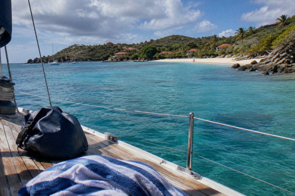
How Does St Barts Water Temperature Compare With Nearby Islands?
St Barts shares its water warmth with its immediate neighbours, because St Martin, Anguilla and Saba sit in the same stretch of the northeast Caribbean with the same seasonal cycle, roughly about 26 C in winter to about 29 C in late summer, so no ferry or hop between these islands is a move to colder or warmer sea.
The practical consequence is for island-hopping plans. A day trip from St Barts to Anguilla or Saba, both covered in this site's day-trip guides, changes the shoreline and the vibe but not the water temperature; the reader choosing between them is choosing beaches, marine reserves and travel logistics, with the comparison pages on St Barts versus St Martin laying out the rest. Within the region, differences that matter are structural: St Barts' marine reserve rules, its all-public beaches and its small-plane airport have no equivalent combination next door.
The one genuine water variable in the neighbourhood is time of year, not place. The August-to-October warm peak and the hurricane-season peak arrive across the whole island group together, and the December-to-April drier, slightly cooler-water window does the same. A traveller who has swum in St Martin in February knows what St Barts water feels like in February, to within a rounding of the same figure.
For a combined trip, that sameness simplifies packing and planning. One swim kit, one sun strategy and one set of season expectations covers both sides of the St Martin channel, whether the itinerary is a villa week on St Barts with a ferry day across, or a Sint Maarten base with a sailing excursion over to Gustavia, Colombier and Ile Fourchue, which is precisely the shape of the charters listed here.
Can You Swim With Turtles In St Barts Warm Water?
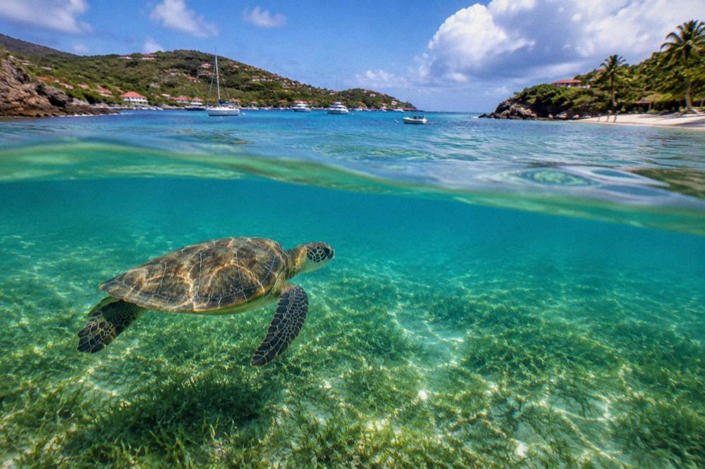
Yes, green and hawksbill turtles are present in St Barts waters, including around Grand Cul-de-Sac's lagoon and Colombier, and swimming alongside them is permitted under strict reserve rules: no touching, chasing or feeding, no drones near the zones without authorization, and nest or sighting reports go to the environment agency.
The rules come from the island's environment agency, whose beach and regulatory-zones pages govern both swimmers and boaters. Touching a turtle is prohibited outright, as is pursuing one for a photo, and dogs are banned from every beach island-wide under a municipal order, partly to protect nesting sites. The agency also asks visitors near nesting areas to reduce light and noise, and lists a local number for reporting nests or injured animals.
Where the encounters happen is consistent: the sheltered eastern lagoon at Grand Cul-de-Sac and the reserve waters off Colombier are the two names that recur in the agency's own materials. Both sit in the same warm sea this page has described, about 26 C in winter to about 29 C from August to October, so the water is never the obstacle; behaviour is. A snorkeller drifting still over seagrass sees more turtles than one pursuing them, and the latter is illegal as well as fruitless.
The boat-based way to reach Colombier's turtle water is the day sail from St Martin described above, or a private charter if the dates fall outside the group sail's 12 May to 31 August 2027 season. Both put swimmers in the reserve with crews who know the zones; neither departs from St Barts. For land-based turtle watching, the beach pages on this site mark the public access points, and the St Barts sea turtles guide goes deeper on the species and the rules.
Common Questions About St Barts Water Temperature
What is the water temperature in St Barts?
About 26 C in winter and about 29 C from August to October, from a rounded secondary climate source. The sea is warm enough for swimming in every month of the year.
Is St Barts water warm in winter?
Yes. The winter sea sits at about 26 C, which most swimmers find comfortably warm, and Meteo-France normals put the January mean daily air high at 28.5 C.
When is the sea warmest in St Barts?
From August to October, when sea temperature holds at about 29 C. Those months also carry the hurricane-season peak and the wettest rainfall in the normals, with October at 135.6 mm.
Do you need a wetsuit to swim or snorkel in St Barts?
No. With water between about 26 C and about 29 C all year, normal swimwear is enough; a rash guard helps against sun on long sessions, not cold.
Does hurricane season make St Barts water colder?
No. Hurricane season, 1 June to 30 November, overlaps the warmest sea of the year rather than cooling it. The season raises disruption risk to flights and ferries, not a temperature problem.
Are all St Barts beaches good for swimming?
Every beach on the island is public and sits in the same warm sea, but conditions vary by shore and by weather, and this site makes no per-beach safety claim. Individual beach pages cover position and access.
The short version of this whole page fits in one line: the sea around St Barts never turns cold, running about 26 C in winter and about 29 C from August to October, so the calendar choice comes down to rain, hurricane-season risk and which hotels are open, never to the water itself.