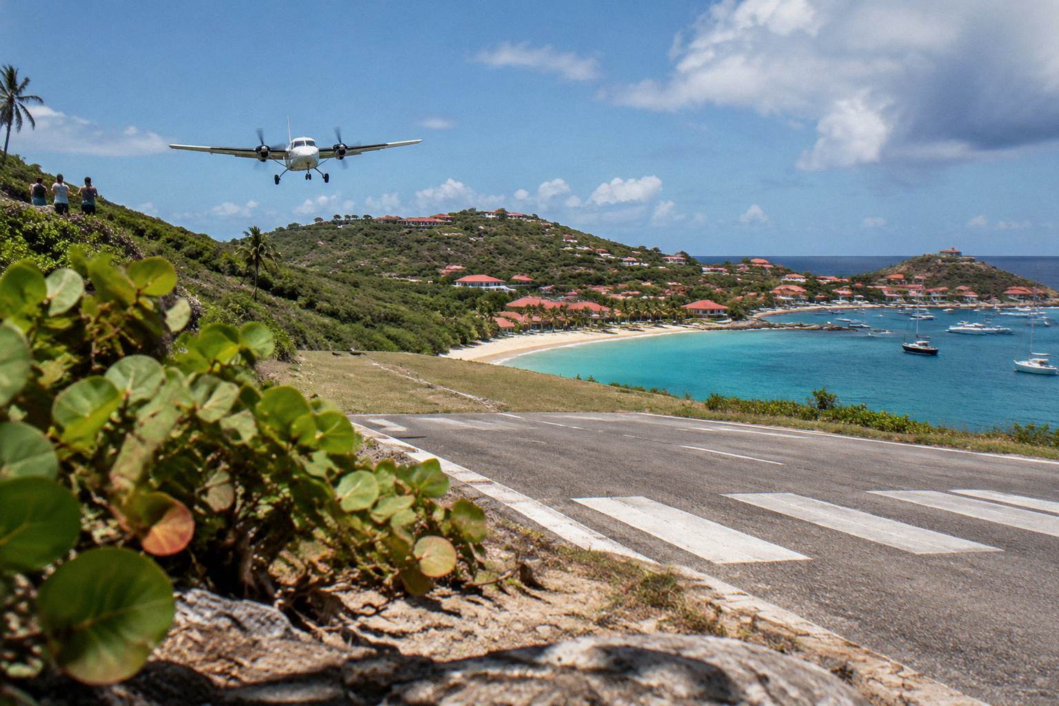
St Barts Webcams
Live cameras around St Barthelemy give a real-time look at Gustavia harbor, the famous airport approach and beach conditions. Here is what a St Barts webcam can usefully tell you before a trip, and what it cannot.
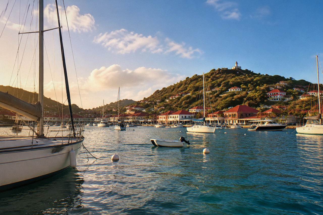
St Barts webcams typically show Gustavia harbor, the Gustaf III Airport runway and approach, and one or two beach stretches such as Saint-Jean. They are useful for checking weather, swell in the harbor and whether the airport is operating in daylight, but they show no fares, timetables or live schedules.
St Barthelemy, usually written St Barts, is a small French island in the Caribbean of about 21 square kilometres, and a surprising amount of it can be watched live from a screen. The harbor capital Gustavia, the short runway at Gustaf III Airport and the curve of Saint-Jean beach are the views that island webcams and harbor cameras most often carry, and each one answers a different planning question. A camera pointed at the harbor shows swell and boat traffic. A camera near the runway shows whether the small turboprops are landing. A beach view shows light, water color and how much of the sand is in the sun. This guide from St Barthelemy Travel explains what each kind of St Barts webcam is genuinely good for, what it will never tell you, and how to fold a quick live check into planning a trip that usually starts with a flight to St Martin and a ferry or a small plane across the channel. The companion page on how to get to St Barts covers the full route in detail.
What Can You Actually See On A St Barts Webcam?
Most live views of St Barts cluster around three subjects: Gustavia harbor with its superyachts and ferry movements, the Gustaf III Airport runway and its steep approach over the water, and the beach at Saint-Jean with the runway's edge in frame. Some harbor businesses and tourism pages carry a camera, and views change with the time of day because the island runs on Atlantic Standard Time year-round with no daylight saving, so a European viewer at noon is watching an island at dawn in winter. What you get is a wide fixed angle, not a controllable camera. The frame shows weather honestly, which is the point: clouds building over the hills, the color of the water inside the harbor, whitecaps in the channel beyond. It is a weather instrument first and a sightseeing tool second. For anything operational, a ferry timetable or a flight status, the camera is the wrong tool and the operator's own page is the right one.
The value of a live view is that St Barts weather is local. The island sits at the northern edge of the Leeward Islands, and a rainy morning in St Martin does not mean a rainy morning two channels over. A quick look at a Gustavia camera before a ferry crossing from Philipsburg or Marigot gives a rough sense of what the sky and the sea are doing on the island side, which is where you are heading.
It also helps set expectations for the harbor itself. Gustavia is a working port town wrapped around a bay, with tenders, ferries and yachts sharing a small stretch of water. Watching it for a few minutes tells you more about scale than any photograph, because the movement of boats gives the eye a sense of distance that a static image cannot.
Which St Barts Views Are Worth Checking Before A Trip?
The three live views that answer real planning questions are the harbor camera for swell and boat traffic in Gustavia, any runway-facing view for daylight flight operations at Gustaf III Airport, and a beach camera for water color and light at Saint-Jean or another public stretch. Harbor views matter on ferry days, runway views matter on flying days, and beach views matter mostly for anticipation and for judging the light at different hours of the island day. Each view maps to one decision, and mixing them up wastes the check. A calm harbor view does not show whether the runway is open, and a busy runway view does not show the swell on the north coast beaches.
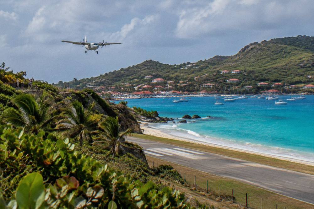
Here is a practical mapping of each kind of view to the question it answers:
| Live View | What It Shows Well | Planning Question It Answers | What It Never Shows |
|---|---|---|---|
| Gustavia harbor | Swell inside the bay, ferry movements, tender boats, yacht traffic | Is the harbor calm today? Is a ship tendering? | Ferry fares and timetables |
| Airport runway | Turboprops landing and taking off, wind conditions on the strip | Is the airport operating in daylight? | Flight times and fares |
| Saint-Jean beach | Water color, light, wave state on the south coast | What do midday conditions look like? | Beach safety or facilities |
| Any elevated island view | Cloud cover over the hills, general sky | Is the day bright or overcast? | Rainfall amounts |
The airport view deserves its own section, and the harbor deserves one too, because each carries an infogain-style lesson about how this island actually works. The beach views are the simplest: they are honest about light and water color, and they are the closest thing to a live postcard.
For travelers pairing a St Martin stay with a day on the water, the same live check applies to the departure side. Every boat tour listed here leaves from St Martin or Sint Maarten, crosses the channel, and spends its day in St Barts waters, so a quick look at both coastlines on the morning of departure is the habit worth building.
Why The Airport Cam Is The Most Watched St Barts View?
The runway at Gustaf III Airport is 646 m long, served only by small STOL turboprops, and operated in daylight and visual conditions only, with no jets landing on the island ever, so an airport camera is the only live way to see whether aircraft are arriving and in what weather. The approach is short, low over a hill at Col de la Tourmente, and the strip ends at the beach at Saint-Jean, which is why this view is watched worldwide.
What the view gives is a sense of the aircraft themselves. The small turboprops that fly this route make short work of the strip, and the same aircraft types appear again and again, which tells you something true about the island: everything that arrives by air arrives small. The St Barts airport guide and the page on the airport code SBH cover the operations side in depth, and landing at St Barts airport explains the approach.
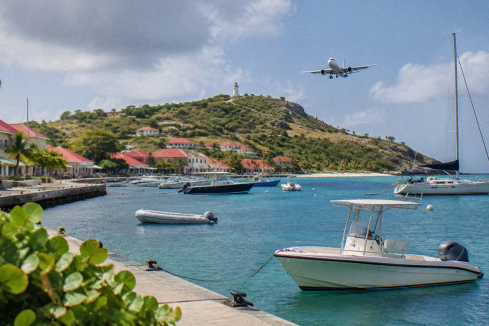
Why does this matter to a webcam watcher? Because the runway view doubles as a wind and visibility report. When aircraft are landing in steady succession, conditions are visual and workable. When the frame shows empty tarmac in the middle of a bright afternoon, something in the weather has interrupted operations, and anyone flying that day should be checking with their carrier rather than guessing from the picture.
The spotter culture around this airport is well established, and the site carries a dedicated page on St Barts airport spotting for those who want to watch from the ground. From a screen, the same entertainment is available without the airfare.
How Can A St Barts Webcam Help On Ferry Day?
A live harbor view is the single most useful camera check on a ferry morning, because the crossings from Philipsburg aboard Great Bay Express and from Marigot aboard Voyager arrive into Gustavia's open bay, and a camera shows the swell and wind inside that harbor in real time. The operators' own pages are the place for times, fares and booking, but the picture tells you what the paper of a ticket cannot: whether the sea in the harbor looks settled or stirred.
The crossing itself can be rough, and no live view should be read as a promise of a smooth one. The channel between St Martin and St Barts sits open to Atlantic swell, and conditions on the crossing and conditions in the harbor are related but not identical. What the camera adds is a reality check an hour before departure. Whitecaps filling the harbor frame are information. Glassy water with tenders running steady lines is different information.
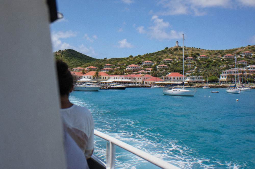
The two operators run from different sides of St Martin: Great Bay Express from Bobby's Marina in Philipsburg on the Dutch side, and Voyager from the Marigot terminal on the French side. The site's ferry pages, St Barts ferry operators and schedule and SXM airport to St Barts ferry, cover the practical routing, and the seasickness page sits under the ferry section for rough-day planning.
A sensible ferry-morning routine looks like this:
| Time Before Departure | Live Check | What To Look For | Where To Confirm The Rest |
|---|---|---|---|
| Evening before | Beach and harbor views at island dusk | General sky, any lingering swell | Operator's booking page |
| Two hours before | Harbor camera | Wind streaks on the water, tender activity | Operator's status message |
| One hour before | Harbor camera again | Same frame, second look for change | Check-in desk at the terminal |
| On arrival | Harbor camera from the ferry deck context | Where tenders and ferries berth | Port signage in Gustavia |
Note what this table does not contain: no times of day, no fares, no sailing counts. Those come from the operators, and any figure quoted here would age badly. The live view is the one part of the morning that updates itself.
What Does St Barts Weather Actually Do Month By Month?
The Meteo-France normals for St Barthelemy, 1991-2020, show a narrow temperature band: the mean daily high runs from 28.5 C in January to 31.7 C in September, and the mean daily low never drops below 23.3 C in any month. Rainfall totals 891.3 mm across the year, with October the wettest month at 135.6 mm and February the least rainy at 38.4 mm. A webcam shows the day; the normals show the pattern behind the day.
The practical reading for a camera watcher is that St Barts looks warm in every month, because it is. The interesting variation is in rain and in the Atlantic hurricane season, which runs from 1 June to 30 November with its peak from mid-August to mid-October. The island's rainiest stretch in the normals, September through November, overlaps that peak almost exactly.
| Month | Mean Daily High | Mean Daily Low | Rainfall |
|---|---|---|---|
| Jan | 28.5 C | 23.5 C | 52.6 mm |
| Feb | 28.6 C | 23.3 C | 38.4 mm |
| Mar | 29.0 C | 23.5 C | 41.4 mm |
| Apr | 29.8 C | 24.2 C | 50.9 mm |
| May | 30.7 C | 25.1 C | 61.7 mm |
| Jun | 31.2 C | 25.9 C | 56.0 mm |
| Jul | 31.2 C | 26.0 C | 80.4 mm |
| Aug | 31.6 C | 26.3 C | 79.6 mm |
| Sep | 31.7 C | 26.2 C | 96.9 mm |
| Oct | 31.4 C | 25.8 C | 135.6 mm |
| Nov | 29.9 C | 25.0 C | 118.6 mm |
| Dec | 28.9 C | 24.1 C | 79.2 mm |
Sea temperature follows the same gentle arc: about 26 C in winter, warming to about 29 C from August to October. A beach camera in February and the same camera in September show water that never looks cold, only differently lit.
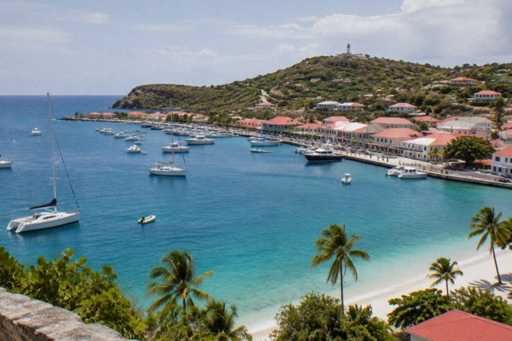
The month-by-month pages under the season section of this site carry fuller guidance for each month, including what the autumn closures mean, since many hotels and restaurants close each year and reopen in waves between mid-October and early November. A webcam cannot show a reopening. It can show whether the beach in front of a closed hotel is still, as every beach on the island is, public and free to walk.
Can A Webcam Tell You About Hurricane Season In St Barts?
A live camera can show a storm's edge, heavy cloud, rain bands or an empty harbor, but it is a terrible warning system and must never be used as one. Hurricane season runs from 1 June to 30 November with the climatological peak near 10 September, and the official outlooks come from the National Hurricane Center and Meteo-France, not from a fixed harbor frame. The camera's honest role in those months is showing what the island actually looks like between systems, which is usually warm, green and open.
Hurricane Irma struck in September 2017 and remains the reference storm for this island, and the rebuilding since has been thorough. Watching a live view in October shows an ordinary Caribbean island going about autumn: boats in the harbor, the runway working in daylight hours, beaches empty in the middle of the day because the season is quiet rather than because anything is wrong.
The right sources during the season are the National Hurricane Center's Atlantic outlook and Meteo-France's vigilance products for Saint-Martin and Saint-Barthelemy, and the site's hurricane season page gathers the planning side. A camera complements those sources only in the narrow sense of showing local conditions now.
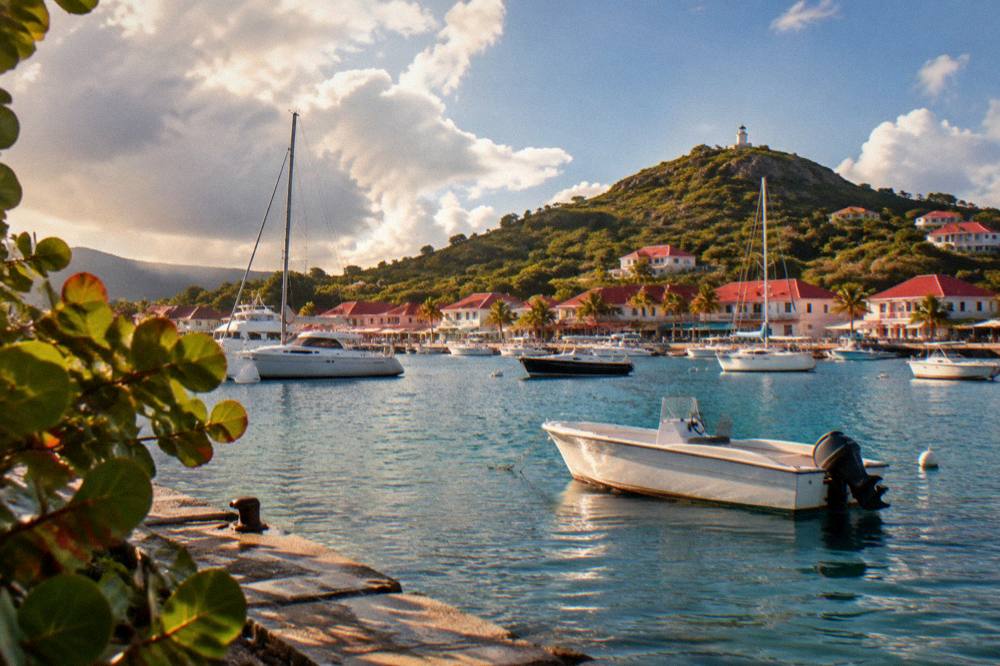
For anyone booked on a boat day during the season, the same logic as ferry day applies with more force. Every charter and sail listed here departs from St Martin or Sint Maarten, crosses open water, and depends on conditions on both sides of the channel. A quick live check of both harbors, plus the official outlook, is the routine that respects the sea rather than guessing at it.
The group sail and snorkel day above is the one per-person product listed here, and its listing runs it from 12 May to 31 August 2027, squarely inside hurricane season's early months; the operator's live listing carries the current dates and conditions policy.
What Makes Gustavia Harbor Worth Watching Live?
Gustavia is the capital and harbor town of St Barts, a ring of red roofs and stone facades around a bay that holds ferries, fishing boats, tenders and some of the largest private yachts afloat, and a live harbor view captures all of them in one frame. The camera shows the working rhythm: tenders running when a cruise ship anchors offshore, since ships tender rather than dock and the island has no cruise pier, ferries berthing on their arrivals, and the yacht fleet shifting with the calendar.
The seasonal signal is strong. Around New Year's Eve the harbor fills with large vessels, an annual pattern tied to the celebrations around the harbor, covered on the site's St Barts New Year's Eve page. In the quiet weeks of September the same frame shows a fraction of the traffic. Watching a harbor camera across a year, or comparing archive frames from different months, teaches the island's seasonality faster than any table of occupancy.
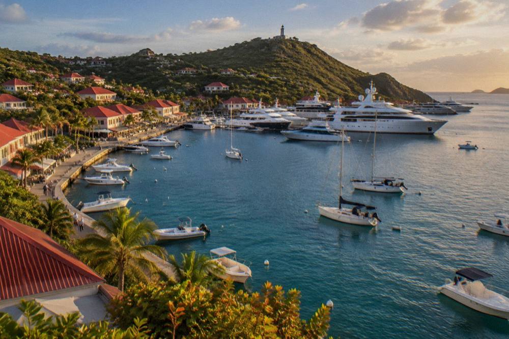
The harbor is also where the island's calendar happens. The St Barths Bucket Regatta runs in mid-March, and the harbor and surrounding waters host the fleet and its spectators. The St Barth Music Festival runs from 8 to 18 January 2027, and the Gourmet Festival runs from 9 to 15 November 2026. Around those dates, a live view shows the town in its busiest dress. The site's pages on St Barts shopping and the harbor itself cover what the streets behind the camera frame hold.
| What Appears In The Harbor Frame | What It Means | When It Is Most Visible |
|---|---|---|
| Cruise ship at anchor with tenders running | A ship is calling; passengers arrive by tender boat | October through the winter season |
| Scheduled ferry berthing | A Great Bay Express or Voyager arrival from St Martin | Daily, year-round, conditions permitting |
| Large yachts at the quay or on buoys | Peak yachting season or a regatta period | Mid-December to early January, mid-March |
| Empty quays in bright weather | The autumn quiet between seasons | September and early October |
One caution belongs here: a harbor camera cannot show whether any specific restaurant, shop or hotel is open, and in autumn many are not. The reopening pattern, mid-October to early November in waves, is a fact of the island's year that no fixed camera angle will announce.
When Is A Screen Not Enough For St Barts?
A webcam frame flattens the two things St Barts is actually made of: hills and water. The island's beaches are all public, from Saint-Jean and Gouverneur to Saline, Flamands and Colombier, and the marine reserve around Colombier and Ile Fourchue enforces a 5-knot speed limit in its zones, bans jet skis and asks visitors not to touch turtles, so the best of the island's water sits largely outside what a harbor or runway camera ever captures. Seeing it means going.
The most-watched stretch of St Barts water, the bays of Colombier and Ile Fourchue, has no permanent live view on any widely carried camera, and that is no accident. The reserve's rules, set out by the island's environment agency, keep the bays quiet: no dogs on the beaches, no touching or chasing turtles, no jet skis, and a 5-knot limit in the protected zones. The way to see that water is to arrive by boat under those rules.
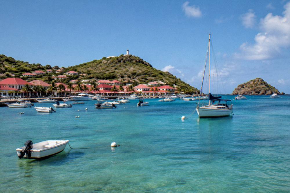
That is what the trip list on this site is for. Every trip below leaves from St Martin or Sint Maarten and crosses to St Barts for the day or the night. The group sail runs to Colombier and Ile Fourchue in season. The private options, an eight-hour charter, a private sailboat day, and a two-day one-night catamaran with an overnight stop, put the same water under your own itinerary. See the operator's live listing for current dates and conditions.
A private sailboat day suits travelers who want the channel crossing and a St Barts anchorage without joining a group, still departing from the St Maarten side. For staying longer on the island itself, the site's hotel pages, starting with St Barts hotels, cover the properties and the seasonal pattern.
Common Questions About St Barts Webcams
Is there a live St Barts webcam?
Live views of St Barts exist, centered on Gustavia harbor, the Gustaf III Airport runway and approach, and beach stretches such as Saint-Jean. Harbor and tourism pages are the usual carriers. No view on the island covers the marine reserve bays at Colombier and Ile Fourchue.
Can you watch planes land at St Barts on a webcam?
Yes, when an airport-facing camera is live and the airport is operating. The runway at Gustaf III is 646 m, served only by small STOL turboprops in daylight and visual conditions, so the view shows small propeller aircraft rather than jets, which never land on the island.
What time zone is a St Barts webcam on?
St Barts keeps Atlantic Standard Time, UTC minus 4, all year with no daylight saving. A viewer in New York watches the island one hour ahead of their own clock in winter and on the same clock in summer, and a viewer in Paris watches six hours behind in winter.
Can a St Barts webcam show hurricane weather?
A camera can show a storm's local effects, rain bands, cloud and an empty harbor, but it is not a warning system. Hurricane season runs 1 June to 30 November with the peak from mid-August to mid-October, and official outlooks come from the National Hurricane Center and Meteo-France.
Does a webcam help before the ferry from St Martin to St Barts?
A harbor view at Gustavia is a useful morning check for swell and wind inside the bay on arrival. It does not show timetables, fares or sea state on the open crossing, and the crossing can be rough, so the operators' pages remain the source for everything operational.
Do webcams show whether hotels and restaurants are open in St Barts?
No. Many hotels and restaurants close each autumn and reopen in waves between mid-October and early November, and no fixed camera frame announces it. Confirmation belongs with the property directly or with the island's tourism information.