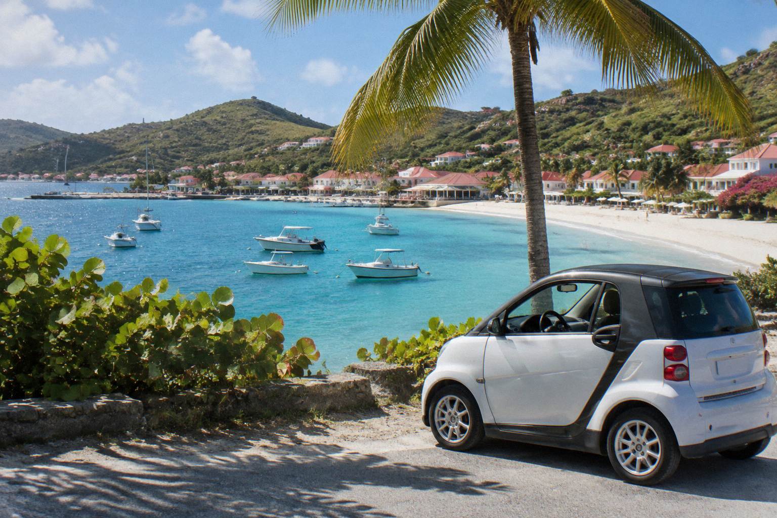
Surfing In St Barts
St Barthelemy, the small French Caribbean island everyone writes as St Barts, sits where the Atlantic meets the Caribbean, and its exposed coasts pick up swell for part of the year. This guide covers the island's surf: where breaks sit on the map, what the climate normals show, the marine reserve rules every surfer must know, and how to get there with a board.
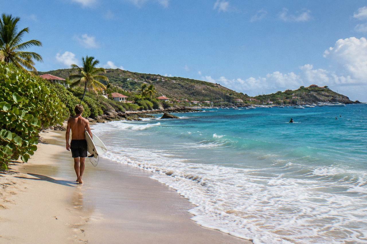
Surfing in St Barts works on the island's exposed Atlantic coasts, mainly between late summer and early winter when swell and the hurricane season overlap. All beaches are public, the marine reserve bans jet skis and limits boating to 5 knots in its zones, and most surfers arrive with their own gear via St Martin.
St Barthelemy, written St Barts on this page and almost everywhere else, is a French overseas collectivity in the Caribbean, about 21 square kilometres of hills and public beaches with the harbour capital Gustavia at its centre. The island faces the open Atlantic on some coasts and the calmer Caribbean on others, and that geography is what makes the surf question worth asking. The island is not a documented surf destination in the way some of its neighbours are, so this page reports what the environment agency, the tourism committee, the Meteo-France normals and the ferry and airline operators actually publish, and nothing beyond that.
What is established is straightforward. Every beach on the island is public. The marine reserve, run by the island's environment agency, covers five zones including Colombier Bay and Ile Fourchue, and its rules touch anyone in the water. The climate is tropical year round, with mean daily highs between 28.5 C in January and 31.7 C in September according to the Meteo-France normals, 1991-2020. And the Atlantic hurricane season, which runs 1 June to 30 November with its peak mid-August to mid-October, is exactly the window when exposed coasts in the Leeward Islands receive their largest ground swell. That overlap shapes everything about a St Barts surf trip.
For travellers whose real interest is simply being on or near the water, the island has a strong alternative in the form of boat trips, and things to do in St Barts around the coast gives the wider picture. This page stays on the surf.
Where Does Surfing Happen In St Barts?
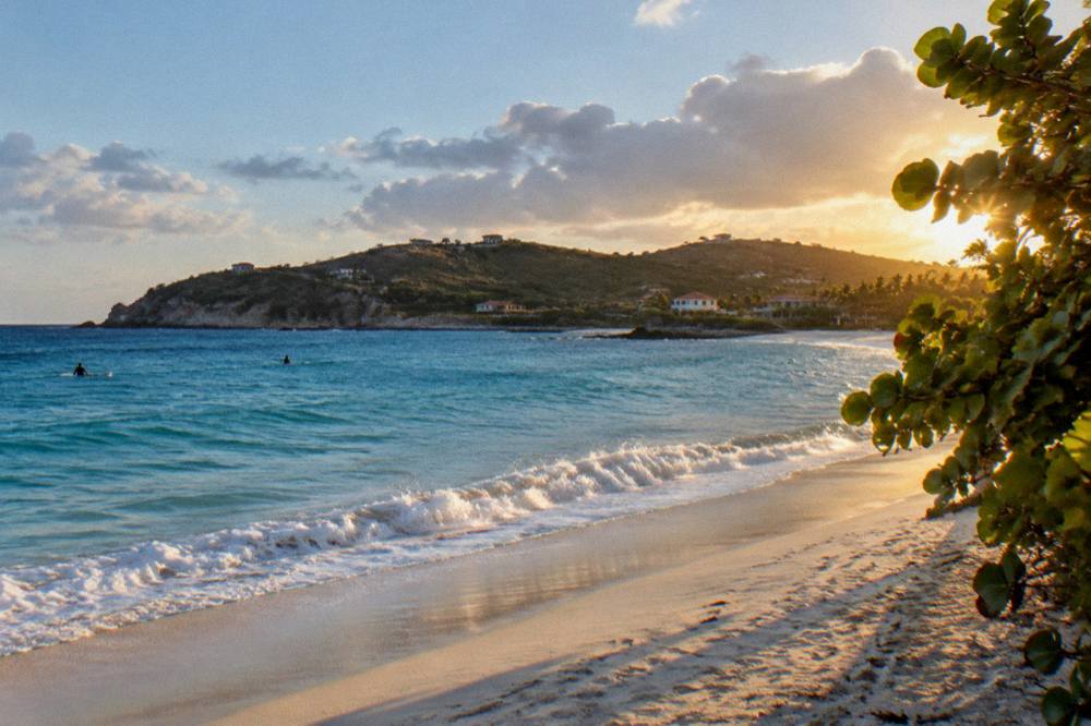
Surfing in St Barts is a matter of coast, not of named surf beaches: the Atlantic-facing shores, Toiny on the southeast and parts of Lorient and Flamands, are the areas where swell can reach, while sheltered bays such as Gustavia's harbour sit behind protective headlands. The reliable facts are the beaches' names, their map positions and that every beach is public.
That is a deliberately narrow answer, and it is the honest one. The tourism committee's material lists the island's beaches by name and position and confirms free public access to all of them, but it does not publish wave heights, break types or surf reports. What a surfer can work from is the map. Toiny sits on the exposed southeast corner where the Atlantic runs in unchecked. Lorient faces north into the Atlantic side. Flamands and its neighbour Marigot sit on the north coast. Colombier, at the island's northwest tip, is reached by boat or on foot and sits inside the marine reserve. Gouverneur and Saline face south. Shell Beach, the small cove of Grand Galet, sits a short way from Gustavia itself.
The consequence for a surf trip is that board-carrying access matters as much as the break. A rental car, booked through the guidance in the St Barts car rental guide, is the usual way to move between coasts, and the island's roads are narrow, winding and steep with a 50 km/h limit island-wide and 30 km/h in Gustavia and St Jean. Parking near any given beach cannot be counted on, so plan for a walk with a board rather than assuming a spot beside the sand.
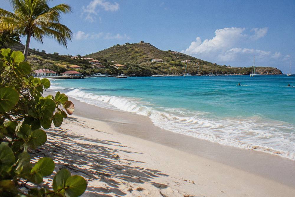
The other honest point is what the island's water economy actually offers. The activity list here is entirely boat-based: every bookable trip departs from St Martin or Sint Maarten and visits St Barts by sea. There is no surf lesson, no board rental and no kayak or jet ski product on the island, and jet skis are in fact banned outright by the marine reserve. Surfers therefore arrive self-equipped, which shapes the packing and travel advice further down this page.
When Is The Surf Season In St Barts?
The closest thing St Barts has to a surf season is the Atlantic swell window, late summer through early winter, which overlaps the hurricane season running 1 June to 30 November with its peak mid-August to mid-October. The Meteo-France normals for St Barthelemy, 1991-2020, show the warmest and wettest months in the same stretch: mean daily highs peak at 31.7 C in September and October delivers 135.6 mm of rain, the wettest month of the year.
No source publishes swell statistics for the island, so the climate table below is the backbone of any season planning. It comes from the Meteo-France station at St Barthelemy and covers the 1991-2020 reference period.
| Month | Mean Daily High (C) | Mean Daily Low (C) | Rain (mm) |
|---|---|---|---|
| Jan | 28.5 | 23.5 | 52.6 |
| Feb | 28.6 | 23.3 | 38.4 |
| Mar | 29.0 | 23.5 | 41.4 |
| Apr | 29.8 | 24.2 | 50.9 |
| May | 30.7 | 25.1 | 61.7 |
| Jun | 31.2 | 25.9 | 56.0 |
| Jul | 31.2 | 26.0 | 80.4 |
| Aug | 31.6 | 26.3 | 79.6 |
| Sep | 31.7 | 26.2 | 96.9 |
| Oct | 31.4 | 25.8 | 135.6 |
| Nov | 29.9 | 25.0 | 118.6 |
| Dec | 28.9 | 24.1 | 79.2 |
Read as a surf calendar, the table says two things. First, water warmth is never a barrier: the sea runs about 26 C in winter and about 29 C from August to October, warm enough year round for boardshorts or a light spring suit. Second, the swell season and the wet season are the same season. A September or October trip buys the largest Atlantic swell potential and the highest rain totals and storm risk together, and a winter trip from December to April buys drier, cooler, steadier weather with a typically smaller Atlantic picture. No prediction of surf, crowds or weather for any date can be made from these normals, and none is made here.
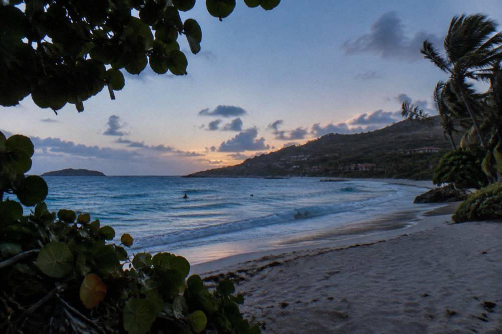
The hurricane question deserves a direct answer rather than a nervous one. Hurricane season in the Atlantic runs 1 June to 30 November, its activity peaks mid-August to mid-October, and the climatological peak of the whole basin sits near 10 September. Hurricane Irma struck the island in September 2017. The season's existence does not mean a storm arrives every year. What it does mean practically is that an autumn surf trip should carry flexibility in flights and accommodation, and that the National Hurricane Center's outlook is the authoritative place to watch before and during travel. For the fuller picture of travel in this window, the ferry and flying details later in this page cover how weather affects the crossings.
What Rules Apply To Surfers In The St Barts Marine Reserve?
The St Barts marine reserve, run by the island's environment agency, sets a 5-knot speed limit in its zones, bans jet skis and other motorized water devices outright, lists 23 dive sites within its boundaries, prohibits dogs on beaches and forbids touching, chasing or feeding protected species including sea turtles. The reserve covers five zones including Colombier Bay and Ile Fourchue, and its regulatory page is the authoritative statement of these rules for anyone surfing, swimming or boating inside them.
The reserve is not a footnote to a St Barts surf trip, it is half the planning. The zones sit at the island's most exposed and most protected corners alike, and a surfer paddling at Colombier is inside a regulated zone. The environment agency's regulatory-zones page is explicit on the restrictions, summarised here.
| Rule | What The Environment Agency Says |
|---|---|
| Boat speed in reserve zones | Maximum 5 knots |
| Motorized and electric water devices | No jet skis, seabobs, electric surfboards or towed sports |
| Protected species | No touching, chasing or feeding turtles, corals, urchins, starfish, sharks or rays |
| Collecting | No taking coral, plants, shellfish, crustaceans, sand, rocks or shells |
| Dogs | Not allowed on beaches or in the water in reserve areas, and banned island-wide by municipal order |
| Diving | 23 dive sites listed within the reserve system |
| Drones | Prohibited without authorization, and restricted near or within reserve zones |
Two of these bear directly on surf behaviour. The no-touch rule applies in the water, not just on land, and green and hawksbill turtles are common around the island's bays, so a surfer sharing a lineup with a turtle keeps distance by law, not courtesy. And the dog ban is island-wide under a longstanding municipal order, enforced at beach entrances with signage, which matters to anyone travelling with a pet rather than a board.
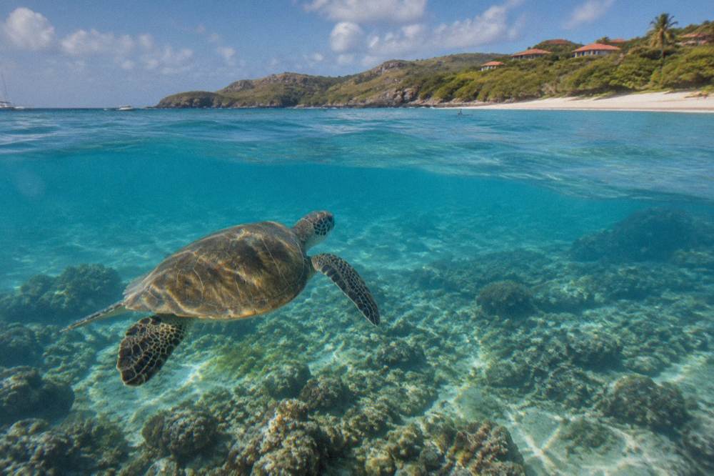
For surfers whose interest in the water is broader than the surf itself, the group sail that visits Gustavia, Colombier Beach and Ile Fourchue is the natural companion to this section: it puts you over exactly the reserve waters these rules protect, departing from St Martin, and the sea-turtle habitat around the bays is part of what the trip crosses. The full itinerary is on the Gustavia, Colombier and Ile Fourchue sail page, with live dates and pricing on See the live listing.
How Do You Get To St Barts With A Surfboard?
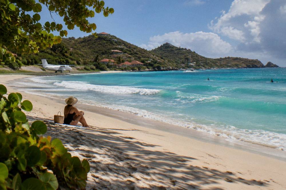
Getting to St Barts with a board means routing through St Martin: fly into Princess Juliana on Sint Maarten, then either take a small STOL turboprop from SXM, Grand Case, San Juan, Guadeloupe or Antigua into Gustaf III Airport, or take the ferry, Great Bay Express from Philipsburg at about 45 minutes or Voyager from Marigot at about 50 to 60 minutes. No jets land on St Barts: the runway at SBH is 646 m, and operations are daylight and visual conditions only.
That is the whole system in one paragraph, and the details below fill it out. The gateway choice matters more for a surfer than for most travellers, because a board bag changes the arithmetic between the plane and the boat. The small carriers flying into St Barts, St Barth Commuter from SXM, Grand Case and Pointe-a-Pitre, and Tradewind from San Juan and Antigua, operate Cessna Grand Caravan and Pilatus PC-12 class aircraft with limited cargo space, and Winair's Twin Otters serve the island from SXM as well. Board dimensions and baggage policy are questions for the operator's own listing and booking pages, not for a guide to guess at, so the practical advice is to confirm board carriage before booking the hop. More of these guides are collected on St Barthelemy Travel.
| Route | Operator | Departure Point | Crossing Or Flight |
|---|---|---|---|
| Ferry to Gustavia | Great Bay Express | Bobby's Marina, Philipsburg, Sint Maarten | About 45 minutes |
| Ferry to Gustavia | Voyager | Marigot Ferry Terminal, St Martin | About 50 to 60 minutes |
| Air to SBH | St Barth Commuter | SXM, Grand Case, Pointe-a-Pitre | A short hop |
| Air to SBH | Tradewind | San Juan, Antigua | A short hop |
| Air to SBH | Winair | SXM | A short hop |
The ferry details come from the operators' own pages, and the durations are "about" figures from those sources. The crossing can be rough: sea state between St Martin and St Barts varies, sailings are subject to weather cancellation, and the operators ask passengers to check in well ahead of departure, with a passport or accepted ID required. Fares should be checked on the operators' live listings. The fuller route breakdown, including the airport experience and the famous approach over the Col de la Tourmente, sits in the how to get to St Barts guide, and the port-by-port detail is in the St Barts ferry operators and schedule page.
One structural point that surprises first-time visitors: there is no jet service to the island at all, and there never has been under current rules. The runway at Gustaf III is 646 m of daylight-only, visual-rules pavement at the foot of a hill, served by specially certified pilots in STOL aircraft. Every long-haul journey to St Barts therefore ends at a gateway, and St Martin is the main one. Board bags that fit an intercontinental jet may not fit the last hop, and the ferry, which takes luggage in a hold, is sometimes the simpler answer with a quiver. The St Maarten airport to St Barts ferry guide covers exactly that connection.
Where Do You Stay For A Surf Trip To St Barts?
A St Barts surf trip is planned around the autumn closure pattern as much as around the swell: many hotels and restaurants close each autumn and reopen in waves between mid-October and early November, while villas generally remain available year round, making a villa the steadier base for an off-season swell window. Accommodation is weighted toward luxury properties, and no rate appears on this page because rates vary by season and by property.
The geography matters here too. Toiny, the southeast corner most exposed to Atlantic swell, gives its name to Hotel Le Toiny, one of the island's established properties. Lorient, another north-coast surf-facing bay, is its own small community. Gustavia, the harbour capital, sits centrally but behind sheltered water. Flamands and St Jean hold further properties, with names including Eden Rock, Cheval Blanc, Le Sereno, Christopher and Le Barthelemy catalogued in the St Barts hotels guide and, for the top of the market, the St Barts luxury hotels page.
| Area | Map Position | Character Of The Coast | Lodging Picture |
|---|---|---|---|
| Toiny | Southeast, Atlantic-exposed corner | Open Atlantic shoreline | Hotel Le Toiny and villas |
| Lorient | North coast, east of Gustavia | Atlantic-facing bay | Villas and small properties |
| Flamands | North coast, west of Lorient | Atlantic-facing bay | Cheval Blanc and villas |
| St Jean | North coast by the airport | Bay beside the runway | Hotel village and boutiques |
| Grand Cul-de-Sac | Northeast, sheltered lagoon | Protected shallow bay | Le Sereno, Le Barthelemy, Guanahani |
| Gustavia | West, harbour capital | Sheltered harbour | Hotels and town lodging |
The closure pattern is the trap worth repeating. A September surf trip, timed to the climatological swell peak, lands in the deepest part of the low season, when a large share of the hotel stock is shut and the island's restaurant scene thins out. By mid-to-late October the reopenings begin, and the Gourmet Festival from 9 to 15 November 2026 marks the point at which the season is fully running. The beach hotels are catalogued in the St Barts beach hotels guide, and the villa route, with managers including WIMCO, Sibarth and St Barth Properties, holds a large villa market.
Is The Water Warm Enough To Surf Year Round In St Barts?
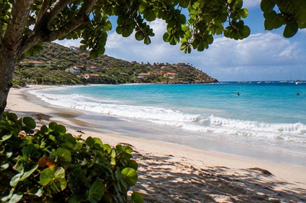
Yes, in the plain sense that the sea around St Barts is warm at every point of the year: sea temperature runs about 26 C in winter to about 29 C from August to October, and the Meteo-France normals show mean daily air highs never dropping below 28.5 C in January. A wetsuit is a comfort choice rather than a necessity, and most surfers in the tropics at these temperatures wear boardshorts or a thin short-sleeve spring suit at most.
For the island, it stops there. There is no published water-temperature table from a primary authority for the island beyond the rounded secondary figures, no swell statistics, and no surf report archive. What a surfer can rely on is the climate table printed earlier in this page, the warm-water figures, and live conditions checked on the day. The Meteo-France station for St Barthelemy, in the Gustavia area and operating since 1959, publishes current observations for the St Martin and St Barthelemy area, and the National Hurricane Center's Atlantic outlook is the reference for anything brewing in the basin during the season.
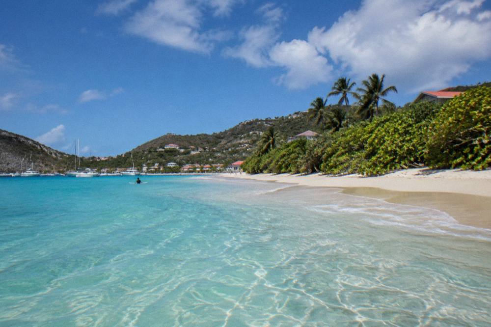
Warm water cuts both ways for packing. No thick rubber means a lighter bag, which helps on the small-plane hops into SBH. Reef booties are a personal call. Sun protection is the one item every tropical-water authority agrees on, and the island sits at 18 degrees north with no daylight saving time, UTC minus 4 year round, so the sun angle is high in every month of the year.
What Else Does The Water Around St Barts Offer Beyond The Surf?
Beyond the surf, the water offering around St Barts is boat-based: group and private day trips from St Martin that visit Gustavia, Colombier Beach and Ile Fourchue, private charters up to 10 guests, an overnight private catamaran option, and the regatta calendar ashore, with the St Barths Bucket Regatta in mid-March and Les Voiles de St Barth in April. No jet ski, kayak, dive-course or surf product is bookable, and cruise ships tender into Gustavia because there is no cruise pier.
The regattas deserve their own line in a water-sports page. The Bucket, mid-March, and Les Voiles, in April, fill Gustavia's harbour with superyachts and racing sails, and the St Barths Bucket Regatta page on this site covers the event in detail. The Music Festival from 8 to 18 January 2027 and the Gourmet Festival from 9 to 15 November 2026 anchor the land calendar around them. Dates for other 2027 events are unconfirmed.
| Water Option | Departs From | What It Covers |
|---|---|---|
| Group sail and snorkel | St Martin / Sint Maarten | Gustavia, Colombier Beach, Ile Fourchue, per-person booking |
| Private day charter | St Martin / Sint Maarten | Full-day private boat, up to 10 guests |
| Private sailboat charter | Sint Maarten | Private sailing day to St Barts |
| Overnight private catamaran | St Martin | Two days and one night afloat |
| Regatta spectating | Gustavia harbour | Bucket in mid-March, Les Voiles in April |
The one per-person group sail listed here runs only from 12 May to 31 August 2027 on its listing, which places it in the early part of the swell window and makes it a plausible flat-day plan for a summer or autumn trip. Every other product is a private charter priced per group. All of them cross the same waters a surfer fishes for swell, and all of them depart from the St Martin side, never from St Barts itself.
Common Questions About Surfing In St Barts
Can you surf in St Barts?
The island's exposed Atlantic coasts receive swell, particularly in the late summer to early winter window, and all beaches are public. Surfing on the island is a bring-your-own-board activity.
When is the best time of year for surfing in St Barts?
The Atlantic swell window overlaps the hurricane season, 1 June to 30 November, with the peak mid-August to mid-October and the basin's climatological peak near 10 September. The Meteo-France normals, 1991-2020, show October as the wettest month at 135.6 mm of rain. No swell forecast can be made for a specific date.
Is the water cold in St Barts?
No. Sea temperature runs about 26 C in winter to about 29 C from August to October, and mean daily air highs range from 28.5 C in January to 31.7 C in September per the Meteo-France normals, 1991-2020.
Are jet skis allowed in St Barts?
No. The marine reserve's regulatory page bans jet skis, seabobs, electric surfboards and towed sports in its zones, alongside a 5-knot boat speed limit and strict protections for turtles and other marine species.
Do you need a boat to reach Colombier?
Colombier, at the island's northwest tip inside the marine reserve, is reached by boat or on foot. Boats visiting the bay are subject to the reserve's rules, including ecological mooring buoys and anchoring restrictions.
Can you rent a surfboard in St Barts?
No board rental appears to be offered on the island. Surfers travel with their own equipment, and the practical constraint is the last leg: small STOL aircraft into SBH or the ferries from Philipsburg and Marigot, with baggage policy confirmed directly with the operator before booking.
The honest summary of St Barts as a surf destination is that it is a warm-water, small-scale, self-organized one. The coast is there, the swell window is knowable from the climate record, the rules are published by the environment agency, and the island's year-round warmth and public beaches remove every barrier except the last: the island asks you to arrive by small plane or ferry, with your own board, and to share the water with turtles that the law, and good sense, say not to touch. If the ocean goes flat, the alternative is already on the water: Look at the group sail from St Martin and let the boat do the hunting.