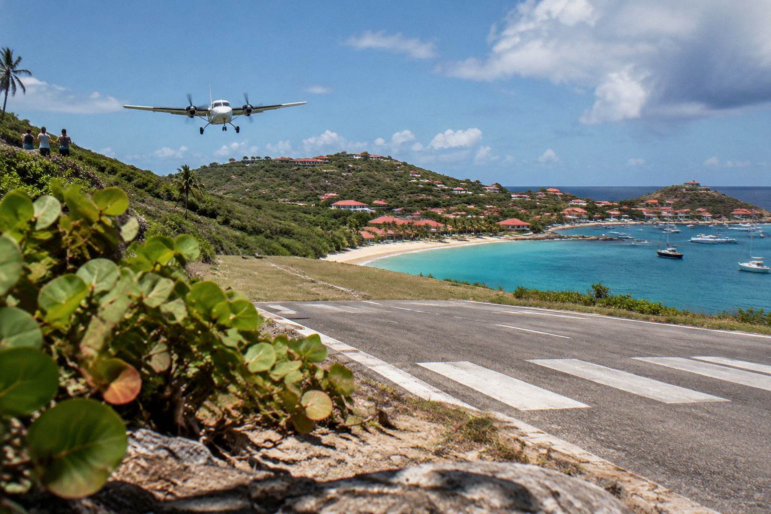
Sargassum In St Barts
St Barthelemy, better known as St Barts, sits at the northern edge of the Caribbean arc, and like its neighbors it can receive drifting sargassum seaweed carried in from the Atlantic.
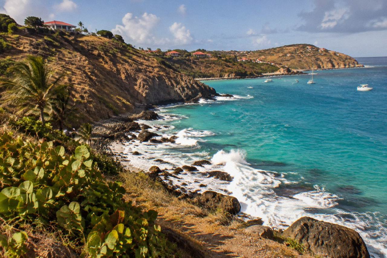
Sargassum is a floating brown seaweed that drifts on Atlantic currents and periodically washes up on Caribbean shores. St Barts is not a high-volume arrival zone compared with islands directly in the main drift path, but landings can occur, usually between spring and late summer, and the island's exposed south and east coasts are the most likely places to see it.
St Barthelemy, better known as St Barts, is a small French island in the Caribbean of about 21 square kilometres, an overseas collectivity of France since 2007, with Gustavia as its harbour capital. Like the rest of the Leeward Islands chain it lies in the path of the Atlantic currents that carry drifting sargassum seaweed westward across the tropics, and in some years that seaweed arrives on its beaches. This guide explains what sargassum is, when it tends to reach the region, which stretches of St Barts coastline are most exposed, how it affects boat tours and ferries, and what a visitor can do on a day when a landing has occurred. Nothing here predicts seaweed, weather or crowds for any date: arrivals vary year to year and the only honest planning tool is a check close to travel.
What Is Sargassum And Why Does It Reach St Barts?
Sargassum is a brown seaweed that floats in free-drifting mats on the open ocean, held up by small air bladders rather than anchored to the sea floor, and it moves with the wind and the Atlantic currents. St Barts receives it when those drifting mats are pushed toward the Leeward Islands chain, which happens in some years and not others, in volumes that vary enormously from one season to the next.
It is a natural organism, not pollution and not a signal that anything is wrong with the water. In the open ocean the mats serve as floating habitat for fish, hatchlings and turtles, and the marine reserve around St Barts is part of the same ecosystem. The problem is purely a beach problem: when a mass of weed drifts into shallow water it can strand on the sand, decay in the sun, and change the look and smell of a normally empty Caribbean cove.
The regional pattern matters more than any single island. Sargassum drifts west across the tropical Atlantic in broad belts, and islands that sit squarely in those belts, in the eastern Caribbean and the Lesser Antilles windward chain, record far heavier landings than St Barts does. St Barts sits in the northern Leewards, partly sheltered by the island chain and by its own cliff-lined coasts, so its experience of sargassum is patchy: one bay can carry a line of weed while another, a headland away, stays clear. That patchiness is the single most useful thing to know, because it means an affected beach rarely means an affected island.
For a sense of the island's geography, the St Barts neighborhoods overview and the main things to do in St Barts page set out the coasts, the beaches and the ways in, most of them through St Martin by small plane or ferry.
When Does Sargassum Typically Reach St Barts?
Sargassum arrivals in the Leeward Islands are concentrated in the warmer months, broadly spring through late summer, when the drifting belts expand across the tropical Atlantic, and they taper as the belt weakens in autumn. No published forecast applies to St Barts specifically, arrivals differ sharply from year to year, and the timing overlaps hurricane season, which runs 1 June to 30 November with its peak from mid-August to mid-October.
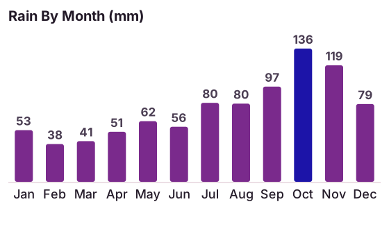
The seasonal backdrop comes from the island's climate, and the Meteo-France normals, 1991-2020, give the numbers: mean daily highs run from 28.5 C in January to 31.7 C in September, and rainfall totals 891.3 mm a year, with October the wettest month at 135.6 mm and February the least rainy at 38.4 mm. The months when Atlantic water is warmest are broadly the months when sargassum drift is most active region-wide, and the sea around the island is warm year-round, about 26 C in winter rising to about 29 C from August to October, according to a secondary climate source.
| Month | Mean Daily High (C) | Rain (mm) | Seasonal Note |
|---|---|---|---|
| Jan | 28.5 | 52.6 | High season, cool and dry |
| Feb | 28.6 | 38.4 | Least rainy month of the year |
| Mar | 29.0 | 41.4 | Bucket Regatta, mid-March |
| Apr | 29.8 | 50.9 | Les Voiles de St Barth, April |
| May | 30.7 | 61.7 | Warmth building |
| Jun | 31.2 | 56.0 | Hurricane season opens 1 June |
| Jul | 31.2 | 80.4 | Rain increasing |
| Aug | 31.6 | 79.6 | Hurricane season peak begins |
| Sep | 31.7 | 96.9 | Warmest month on average |
| Oct | 31.4 | 135.6 | Wettest month of the year |
| Nov | 29.9 | 118.6 | Gourmet Festival 9 to 15 November 2026 |
| Dec | 28.9 | 79.2 | High season returns |
Two cautions follow. First, the calendar is a general regional tendency, not a rule: sargassum has appeared in months outside that window in some years, and has been nearly absent in years when forecasts pointed the other way. Second, the overlap with hurricane season is incidental, the same warm water supports both, but one does not cause the other. The US National Hurricane Center publishes the region's tropical weather outlooks, and Météo-France covers St Barthelemy directly; neither publishes a St Barts seaweed forecast, so the practical approach is to check conditions shortly before and during a trip rather than to plan around a fixed expectation.
Which St Barts Beaches Are Most Exposed To Sargassum?
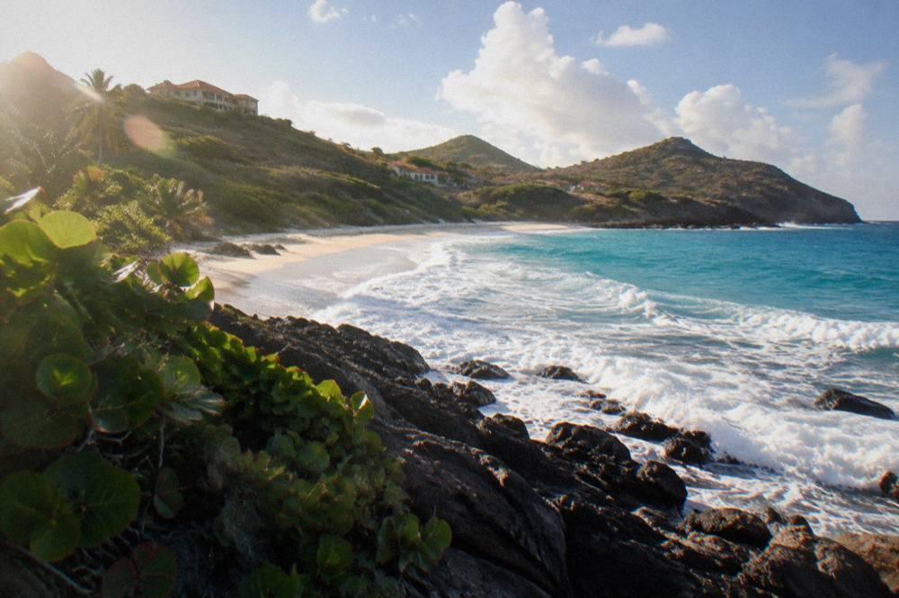
St Barts' exposed south and east facing shores, including Saline, Gouverneur, Toiny and the Grand Cul-de-Sac area's open stretches, are the coastlines most naturally positioned to intercept drifting weed, while the more sheltered bays behind headlands, such as Colombier and the harbor-adjacent coves near Gustavia, tend to collect less. Every beach on the island is public, all of them can receive weed in a landing year, and no beach is immune.
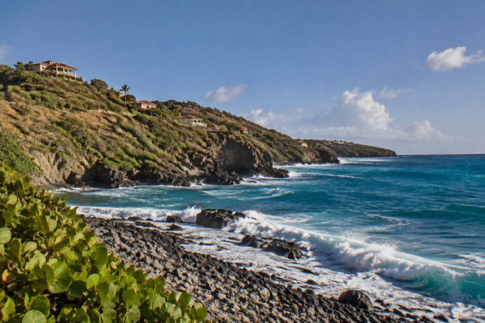
The geography is simple once the map is in view. The trade winds and the prevailing swell push from the east and northeast, so anything facing that arc takes the first arrival of floating material. Headlands do the rest: a bay tucked behind a point is protected from the wind-driven surface drift that carries sargassum into shallow water, which is why the pattern is so often one bay affected and its neighbour clear.
| Beach | Map Position | Exposure Note |
|---|---|---|
| Saline | South coast, east of Gustavia | Open southern exposure |
| Gouverneur | South coast, west of Saline | Open southern exposure |
| Toiny | Southeast coast | Open to the eastern arc |
| Grand Cul-de-Sac | Northeast coast | Sheltered lagoon end, open outer stretch |
| Lorient | North coast | Partly protected by a point |
| Flamands | Northwest coast | Faces north, partly exposed |
| Saint-Jean | North coast near the airport | Sheltered by a headland |
| Shell Beach (Grand Galet) | West coast near Gustavia | Short walk from the harbor, sheltered |
| Colombier | Northwest, reachable by trail or boat | Most protected of the named beaches |
| Corossol | West coast | West-facing, sheltered |
The environment agency's regulatory-zones page covers the marine reserve rules that apply around these coasts, including Colombier Bay: a 5-knot speed limit in reserve zones, no jet skis, 23 listed dive sites, no dogs on any beach, and no touching or disturbing turtles. Those rules matter to anyone weighing a boat day instead of a beach day, because the reserve's protections are unchanged by whether weed has landed on the sand.
When a landing does occur, the honest advice is to move. The island is small and its beaches sit in separate compartments divided by hills, so a short drive along the coast road usually finds a different picture. A rental car makes that flexibility easy, and the St Barts car rental guide covers the counters at the airport and the local agencies, including Mini Moke rentals, without any need to book an activity in advance.
Is Sargassum A Health Or Safety Concern In St Barts?
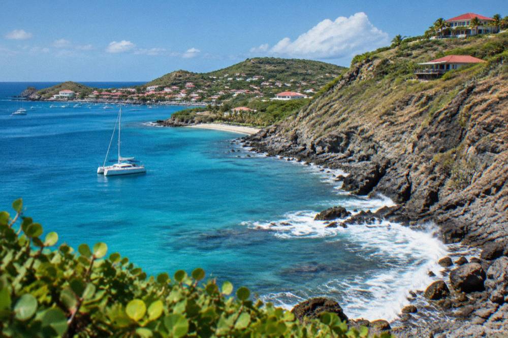
For most people sargassum on a beach is an aesthetic nuisance rather than a danger: walking past it, swimming away from it and keeping clear of thick mats in the water is the reasonable response. As seaweed dries and decays on the sand it can release an unpleasant smell and irritate sensitive airways close up, and tangled mats in shallow water are physically awkward to swim through, so the simple rules are do not walk in deep accumulations and do not swim among dense floating weed.
No authority on St Barts publishes a sargassum health advisory, and the island's standing beach rules are unaffected by weed. The island-wide dog ban, under a municipal order in force for decades, applies on every beach whether or not sargassum has landed, and the marine reserve's protections on turtles, coral and collecting apply in the water at all times. Visitors who want current conditions should look at the island's live resources rather than expectations: the St Barts weather guide pages aside, the practical check is a beach webcam or a call ahead to wherever is hosting the day.
Two specific cautions are worth writing down. First, decaying weed attracts insects and can hide sharp debris, so footwear matters on an affected stretch. Second, sea turtles nest on and around these same beaches, and a turtle tangled or deterred by weed is a reserve matter: the environment agency asks that nests and sightings be reported to it directly rather than handled by visitors. The reserve's own instruction, no touching turtles anywhere, in the water or on the sand, holds regardless of seaweed.
Does Sargassum Affect Ferries And Boat Tours To St Barts?
Sargassum in the St Martin crossing does not normally stop the ferries, which operate 45 to about 60 minute routes between Philipsburg or Marigot and Gustavia, but heavy drift can slow crossings and, like any swell, can make them rough. Boat tours around St Barts are largely unaffected because the operators route around weed, and the island's most protected anchorages, including Colombier and Ile Fourchue, sit behind headlands that shelter them from the surface drift.
The ferry picture is worth understanding before booking. Great Bay Express runs from Bobby's Marina in Philipsburg on the Dutch side, about 45 minutes to Gustavia, and Voyager runs from the Marigot terminal on the French side, about 50 to 60 minutes, both with several departures a day in season. The operators require a passport and ask passengers to check in well before sailing, and both services are subject to weather cancellations; a floating weed line is a routing nuisance for a crew rather than a safety event, but swell combined with weed can make the crossing uncomfortable. The ferry operators and schedule guide covers the two routes in detail, and the SXM airport to ferry guide explains the connection from the international airport.
The boat-day picture is more forgiving than the beach picture. A sailing tour from St Martin that anchors at Colombier and Ile Fourchue is choosing precisely the bays that weed reaches last, and a skipper can shift anchorage within the trip if a line of weed sits across a planned stop. Snorkelling visibility can drop near a decaying mass, so the honest framing for a sailing day in a landing season is that the itinerary is flexible by nature, not that any particular cove is guaranteed clear. Other pages covering the same trip are gathered on St Barthelemy Travel.
For travellers already committed to dates in the drift season, the private options give the most routing freedom of all, since a chartered boat follows the captain's read of the water that morning rather than a fixed timetable. The St Barts vs St Martin comparison is a different question, but the same logic applies to day visitors from cruise ships, who tender into Gustavia and can judge beach conditions on arrival.
How Do St Barts And Its Hotels Handle Sargassum Landings?
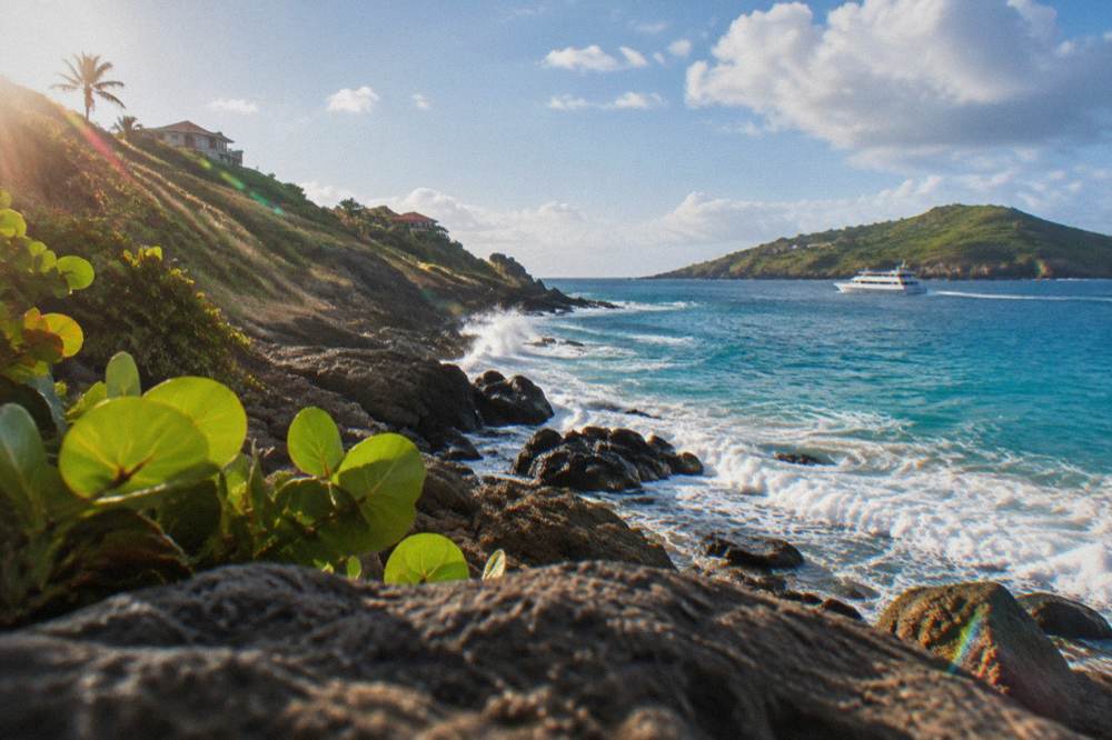
St Barts handles sargassum the way small islands do: mechanically, bay by bay, with crews clearing the worst accumulations from the most used beaches rather than treating the whole coastline, and with hotels and beach operators managing their own stretches. There is no island-wide seaweed barrier or collection fleet on record, and because every beach is public, the response depends on where the weed lands and how long it stays.
The clearing pattern follows the accommodation pattern. Many hotels and restaurants close each autumn for the low season and reopen between mid-October and early November, so the heaviest year-round management effort naturally concentrates on the December to April high season, when the drift is usually quiet anyway. In a summer landing, the island's population of roughly 10,700 residents is the audience, and the response is proportionate: affected stretches are raked or left to natural dispersal depending on the volume. No published schedule of clearances exists, and none is needed for planning; what matters is that an accumulation on a Monday does not describe the same beach on a Friday.
| Season | Sargassum Likelihood Region-Wide | Island Management Context |
|---|---|---|
| December to April | Generally low | High season, hotels fully open, frequent beach upkeep |
| May to July | Can rise year to year | Shoulder season, thinner crowds, clearances as needed |
| August to October | Can occur, overlapping storm season | Many hotels closed until mid-October to early November |
| November | Tapering | Reopening wave, Gourmet Festival 9 to 15 November 2026 |
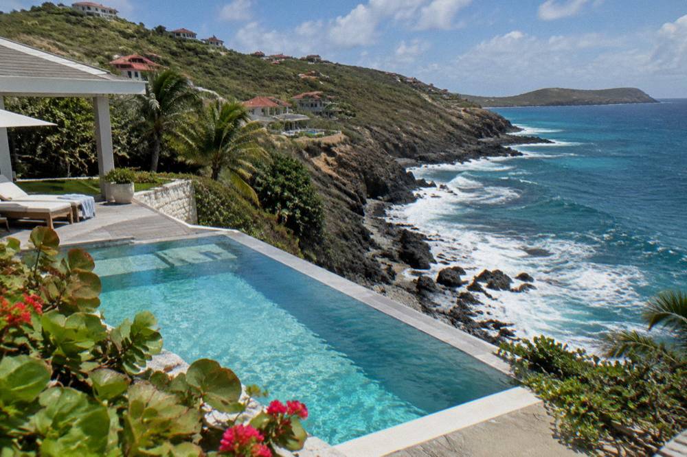
Villas are a different case and often the better one in a weed season. Villas generally remain available year-round, and a villa with a pool gives a swimming option that no beach can guarantee on any given morning. The accommodation guides on this site, including the St Barts hotels overview and the boutique and beachfront hotel pages, name properties without rates, since prices move with season and each property's own booking page shows current figures.
What To Do In St Barts On A Sargassum-Affected Day?
A seaweed-hit beach day in St Barts converts easily into a harbour day, a hill day or a boat day: Gustavia's shops, the island's headland walks, the small museums and the beaches on the sheltered side of the island all keep working when one bay carries weed. The island is about 21 square kilometres of hills and coves, which means a different shore is nearly always a short drive away, and every beach remains public and free to visit.
The alternatives group into a few families. In Gustavia itself, the shopping streets, the harbor front and the fort and museum sites fill a morning without sand. On the coast road, the west-facing beaches near the capital are the natural first alternative in a landing, since they face away from the drift. Inland and up, the hiking trails, including the Colombier trail from the north side, cross open hillsides and end at the very bay a boat would visit; the trail is unaffected by seaweed even if the shoreline is not. And out on the water, the tours from St Martin route to the protected anchorages first.
| Alternative | What It Is | Why It Works On A Weed Day |
|---|---|---|
| Gustavia harbor and shops | The capital's waterfront and boutiques | Entirely off the beach |
| Fort Karl and Fort Gustaf | Headland sites above Gustavia | Views, no shoreline |
| Wall House Museum | Island history in the capital | Indoor |
| Colombier trail | Hill walk to the northwest bay | The walk itself is the point |
| Shell Beach (Grand Galet) | West-facing cove near Gustavia | Faces away from the drift |
| Boat tour from St Martin | Sailing day to protected bays | Skippers route around weed |
| Villa or hotel pool | Private swimming | Independent of the sea |
The shopping guide on this site, St Barts shopping, covers what the capital's boutiques actually stock, and the Gustavia harbor pages describe the tender port where cruise visitors land. Neither depends on beach conditions, which is the whole point of listing them here.
Should You Change Your St Barts Travel Dates Over Sargassum?
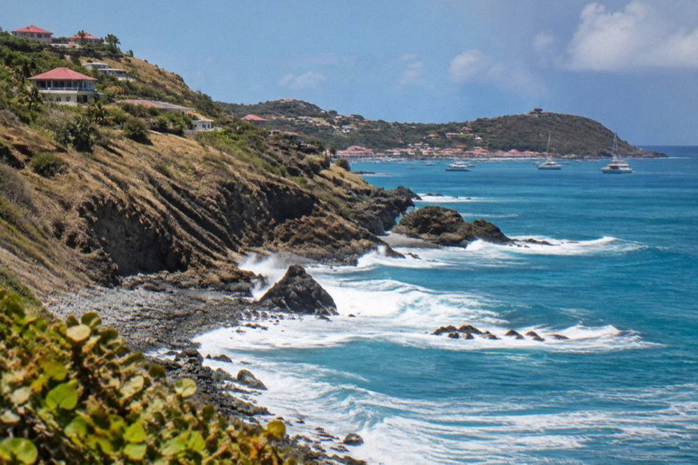
No, not on seaweed alone: St Barts is not in the heavy-arrival tier of Caribbean islands, landings are patchy bay by bay, and the island's small size makes a clear beach easy to find even mid-event. Travellers with strict beach-only plans in the warm months can weight their dates toward the December to April high season, when regional drift is generally at its lowest and the Meteo-France normals show the driest, most settled weather of the year.
The reasoning is about odds, not guarantees. February averages 38.4 mm of rain and October 135.6 mm, and the same seasonal contrast that shapes rain shapes the weed risk region-wide, but neither figure predicts any particular week. A trip planned for May or June in a quiet sargassum year can be flawless, and a rare winter landing can soil one bay in an otherwise perfect fortnight. What a visitor controls is flexibility: a car, a shortlist of beaches on both coasts, and a willingness to swap the sand for the harbor or the hills for a day.
For travellers whose hearts are set on the water, the booking order matters less than the cancellation terms. Every product listed here above renders its own live price, rating and dates from its listing, and each carries its operator's cancellation policy, so a date held early in the year for a summer sailing can usually be adjusted if conditions argue otherwise.
Planning Around Sargassum: A Short Checklist
The practical sargassum plan for St Barts is three lines: book refundable options where possible, stay mobile with a car or a boat option, and check conditions in the final week before travel rather than months out. Those three habits cover every realistic outcome, from a completely clear season to a single affected bay on one morning of a fortnight.
| Step | When | What It Buys |
|---|---|---|
| Book refundable rates and tours | At booking | Freedom to shift dates if a drift season is heavy |
| Rent a car | Before arrival | Access to beaches on every coast, any morning |
| Keep a boat day as an option | Before arrival | A seaweed-proof way onto the water |
| Check beach conditions | Final week before travel | A realistic picture, not a forecast made months ago |
| Keep a harbor and hills day in reserve | On the island | A full day regardless of the shoreline |
The order is deliberate. Conditions observed close to travel beat every long-range expectation, and the island's own patchiness means even a same-day report is a map, not a verdict. Travellers pairing St Barts with its gateway can read the how to get to St Barts guide for the flight and ferry options through St Martin, and the St Barts airport guide for what landing at Gustaf III involves.
Sargassum is the least predictable part of a St Barts trip and, in practice, one of the most manageable: the island's bays are compartmentalized, its protected anchorages sit behind headlands, and its harbor, hills and shops fill a day without any sand at all. Plan for flexibility, check late, and let the weather, not the weed, make the decisions.
Common Questions About Sargassum In St Barts
Does St Barts get sargassum?
Yes, in some years. St Barts sits at the northern edge of the Caribbean arc and receives drifting sargassum when Atlantic currents push mats toward the Leeward Islands, but it is not in the heavy-arrival tier of eastern Caribbean islands. Landings are patchy, often affecting one bay while its neighbor stays clear.
What months does sargassum arrive in St Barts?
Regional drift is concentrated in the warmer months, broadly spring through late summer, and tapers in autumn. The pattern varies sharply year to year and no St Barts seaweed forecast is published, so the practical approach is a conditions check close to travel rather than a fixed expectation.
Which St Barts beaches are most likely to have seaweed?
The exposed south and east facing coasts, including Saline, Gouverneur and Toiny, are the most naturally positioned to intercept drifting weed. Sheltered bays behind headlands, such as Colombier and the coves near Gustavia, tend to collect less. Every beach on the island is public.
Is sargassum harmful to swim in?
For most people it is a nuisance rather than a danger. Decaying weed can smell and irritate sensitive airways close up, and dense floating mats are awkward to swim through. Keep clear of thick accumulations, wear footwear on affected sand, and swim away from any mass of floating weed.
Does sargassum stop the ferry from St Martin to St Barts?
Not normally. The Great Bay Express crossing from Philipsburg takes about 45 minutes and the Voyager crossing from Marigot about 50 to 60 minutes, and both route around weed. Like any swell, heavy drift can make a crossing rough, and both operators run subject to weather.
Should I cancel a St Barts trip because of sargassum?
No, not on seaweed alone. Landings are localized and short-lived on an island this small, boat tours route to protected anchorages, and Gustavia, the hills and the shops fill any affected day. Travellers with strict beach-only plans can weight dates toward December to April, when regional drift is generally lowest.