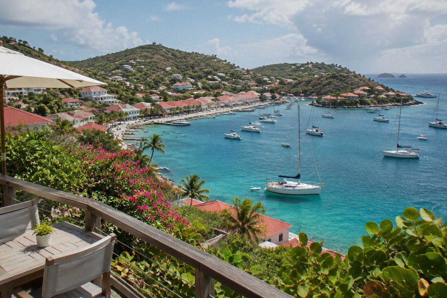
How Big Is St Barts?
How big is St Barts? The French Caribbean island of St Barthelemy covers about 21 square kilometres and holds about 10,700 residents, with Gustavia as its capital. Here is what that size means for a visit.
St Barthelemy, usually written St Barts, is a small French island in the Caribbean and an overseas collectivity of France since 2007. Its land area is about 21 square kilometres, its population is about 10,700, and its capital and main harbour town is Gustavia. Those three numbers answer the question in principle, but the more useful answer is what the island's size does to a trip: the airport runway is 646 m long, the island has no river and no mountain range, just hills, and every bookable boat tour that visits it departs from St Martin or Sint Maarten rather than from the island itself.
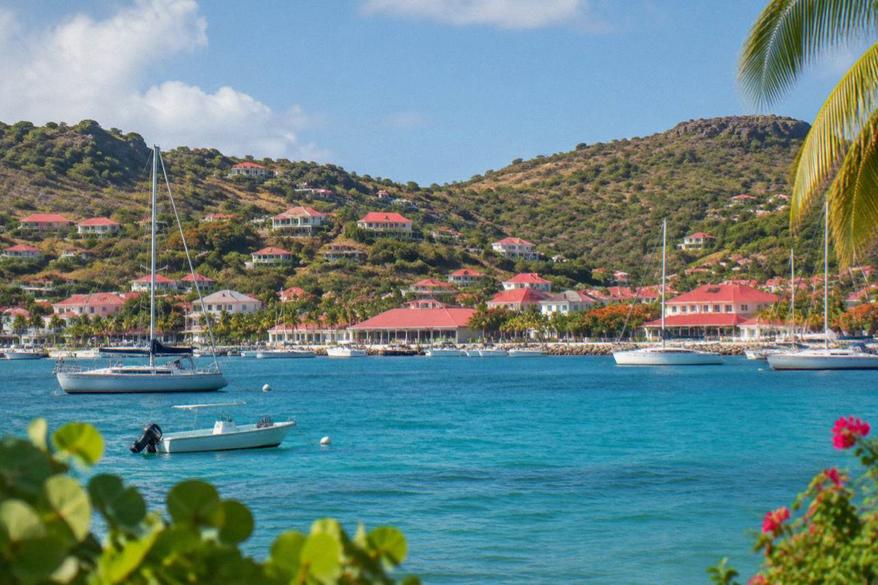
St Barts covers about 21 square kilometres of land and holds about 10,700 residents, according to the French national statistics office, whose latest census figure is reported as 10,660 and whose 2021 legal population was 10,556. The capital is Gustavia, the harbour town on the island's western side. The count rises to roughly 24 to 25 square kilometres only if the small surrounding islets are included.
Those figures deserve their qualifiers. The island is small enough that a census difference of a few hundred people, between the 10,660 census figure and the 10,556 legal population, is a real share of the total. For the same reason the area is always written "about": the French government's overseas territories page gives about 21 square kilometres of land, and secondary sources add islets such as Ile Fourchue to reach 24 to 25.
The physical character matters as much as the number. St Barts is an island of hills, public beaches and turquoise water. It has no river and no mountain range, and its interior is a set of wooded ridges rather than any kind of highland. Gustavia sits around a natural harbour on the west coast, and the beaches the tourism committee lists, including Saint-Jean, Gouverneur, Saline, Shell Beach, Flamands, Colombier, Grand Cul-de-Sac, Lorient, Toiny, Marigot, Corossol and Anse des Cayes, ring that small interior. All of them are public.
Here is the island at a glance:
| Measure | Figure | Note |
|---|---|---|
| Land area | About 21 square kilometres | About 24 to 25 including islets |
| Population | About 10,700 | Census figure reported as 10,660; 2021 legal population 10,556 |
| Capital | Gustavia | Harbour town on the west coast |
| Status | French overseas collectivity | Since 2007 |
| Currency | Euro | French is the official language, English widely spoken |
| Runway at Gustaf III Airport | 646 m | Small STOL turboprops only, daylight conditions only |
Why Does The Size Of St Barts Change How You Fly There?
Because the airport runway at Gustaf III, also called Remy de Haenen and coded SBH, is only 646 m long, no jet can land on St Barts. Only small STOL turboprops operate there, in daylight and visual conditions only. Travellers reach the island through gateways such as St Martin, San Juan, Guadeloupe or Antigua, then finish the trip on a small plane or a ferry from St Martin.
The 646 m figure is the single most consequential size number on the island. The runway's length, and the steep approach over terrain that pilots must be specially qualified for, restrict SBH to aircraft such as the Twin Otter, the Cessna Grand Caravan and the Pilatus PC-12. St Barth Commuter flies to SBH from St Martin, Grand Case and Pointe-a-Pitre, and Tradewind flies from San Juan and Antigua. That constraint is why the question why it is so hard to get to St Barts has its own answer on this site, and why the answer to whether you can fly direct to St Barts from the US is essentially about gateways rather than nonstop flights.
The sea route is shaped by the same geography. Two operators run scheduled ferries to Gustavia: Great Bay Express from Philipsburg on the Dutch side, a crossing of about 45 minutes, and Voyager from Marigot on the French side, about 50 to 60 minutes. Both figures are "about" figures from the operators, the crossing can be rough. There is no cruise pier either: ships anchor offshore and tender passengers into Gustavia, a rule the Collectivité backs with a cap of 1,200 passengers on authorised cruise calls.
Every one of those products departs from St Martin or Sint Maarten and visits St Barts, which is itself a comment on the island's size: the day trip is run from the larger neighbour because the larger neighbour has the airport jets can use.
What Does About 21 Square Kilometres Look Like On The Ground?
It looks like one harbour capital, a set of hills crossed by narrow, steep roads, and a ring of public beaches close enough together that the island is commonly explored in a single stay without internal flights or long transfers. The speed limit is about 50 km/h island-wide and about 30 km/h in Gustavia and St Jean, according to rental and driving guides, which tells you the scale of driving here.
No number is attached to any specific journey between places on St Barts. What is established is character: roads are narrow, winding and hilly, with one roundabout near the airport and minimal traffic lights. Rental counters at SBH include Avis, Budget and Hertz, and local agencies rent Mini Mokes, the open-air vehicles that suit the island's scale. Whether a car is worth it has its own discussion in is it worth renting a car in St Barts.
To get around those steep, winding roads with ease, book a rental car.
The marine side of the island is mapped with the same precision as the land. The St Barts marine reserve, run by the territorial environment agency, lists 23 dive sites across five protection zones, including Colombier Bay and Ile Fourchue. Its regulatory-zones page sets a 5-knot speed limit inside its zones, bans jet skis, seabobs and towed sports, prohibits dogs on beaches and asks visitors not to touch turtles, corals or other protected species. A small island can still hold a lot of regulated water. Other pages covering the same trip are gathered on St Barthelemy Travel.
How Does St Barts' Size Compare With Its Neighbours?
St Barts is much smaller than St Martin and Sint Maarten, the two administrations that share the neighbouring island and serve as its main gateway, and it is smaller than most of the islands around it in the Leeward chain. The practical contrast is clear: St Barts is the compact one, St Martin the hub.
That asymmetry defines travel in the region. Flights from outside the Caribbean land at Princess Juliana on Sint Maarten, at St Martin's Grand Case, at San Juan, at Pointe-a-Pitre on Guadeloupe or at Antigua, and the last leg to St Barts is a short hop by small plane or a ferry crossing. Sint Maarten also hosts the boat departures for the island's bookable tours. Travellers with time on either side can weigh the two in the site's St Barts versus St Martin comparison guide, and the question of whether St Barts is worth the effort is, in part, a question about whether a 21-square-kilometre island justifies a two-step journey.
The comparison that circulates most often is with Manhattan, and it is a fair illustration of scale even though this page prints no figure for Manhattan. St Barts is a fraction of that borough's size, yet its population is a village-scale total of about 10,700 spread across hills and fourteen or so named public beaches.
Can You See A Lot Of St Barts In One Day?
A single day can cover Gustavia's harbour, several of the public beaches and a view of the coast, because the island is about 21 square kilometres with one town and a compact road network. A boat day adds the perspective that matters most here: the group sail that circles Gustavia, stops at Colombier Beach and Ile Fourchue and runs seven hours, shows the island almost whole from the water.
That group sail, the Gustavia, Colombier Beach and Ile Fourchue tour, departs from St Martin or Sint Maarten and is the one per-person product; it runs from 12 May to 31 August 2027 on its listing. The other options are private charters priced per group, from an 8-hour full-day charter to a 2-day, 1-night private catamaran. All of them approach St Barts the way its geography invites: from the sea, past the marine reserve zones where the 5-knot limit applies.
For sizing out a stay rather than a day, the site's one week St Barts itinerary shows how much a small island can hold: harbour sightseeing in Gustavia, beach time across the public strands, and boat trips to Colombier and Ile Fourchue fill the days without any long-distance travel inside the island.
Common Questions About The Size Of St Barts
How Big Is St Barts?
About 21 square kilometres of land, roughly 24 to 25 square kilometres if the surrounding islets are included, with about 10,700 residents. The capital is Gustavia. It is an overseas collectivity of France, separate from Guadeloupe since 2007.
Is St Barts bigger than Manhattan?
No. St Barts is a fraction of Manhattan's area. This page prints no figure for Manhattan, but the contrast in scale is the point: St Barts holds one harbour town, a set of hills and a ring of public beaches.
How many beaches does an island that size have?
The tourism committee's list names around a dozen or more public beaches, including Saint-Jean, Gouverneur, Saline, Shell Beach, Flamands, Colombier, Grand Cul-de-Sac, Lorient, Toiny, Marigot, Corossol and Anse des Cayes. Every beach on the island is public.
Why can't big planes fly to St Barts?
The runway at Gustaf III Airport is 646 m long, and operations are limited to small STOL turboprops in daylight and visual conditions. No jet lands on the island. Travellers connect through St Martin, San Juan, Guadeloupe or Antigua, or take the ferry from St Martin.
Does the island's size affect the weather?
The official record comes from a single Meteo-France station near Gustavia, and the climate is tropical year-round: Meteo-France normals, 1991-2020, show a mean daily high from 28.5 C in January to 31.7 C in September, with 891.3 mm of rain a year and October the wettest month at 135.6 mm. Hurricane season runs from 1 June to 30 November.
Size, on St Barts, is not a footnote. It decides the aircraft, the ferry routes, the speed limits, the marine reserve rules and the shape of every tour that visits. A small island, held to about 21 square kilometres and about 10,700 people, is precisely what makes the place legible in a week and visible in a day from the deck of a boat.